From Surf Wiki (app.surf) — the open knowledge base
Dunbarton, New Hampshire
| Field | Value |
|---|---|
| official_name | Dunbarton, New Hampshire |
| settlement_type | Town |
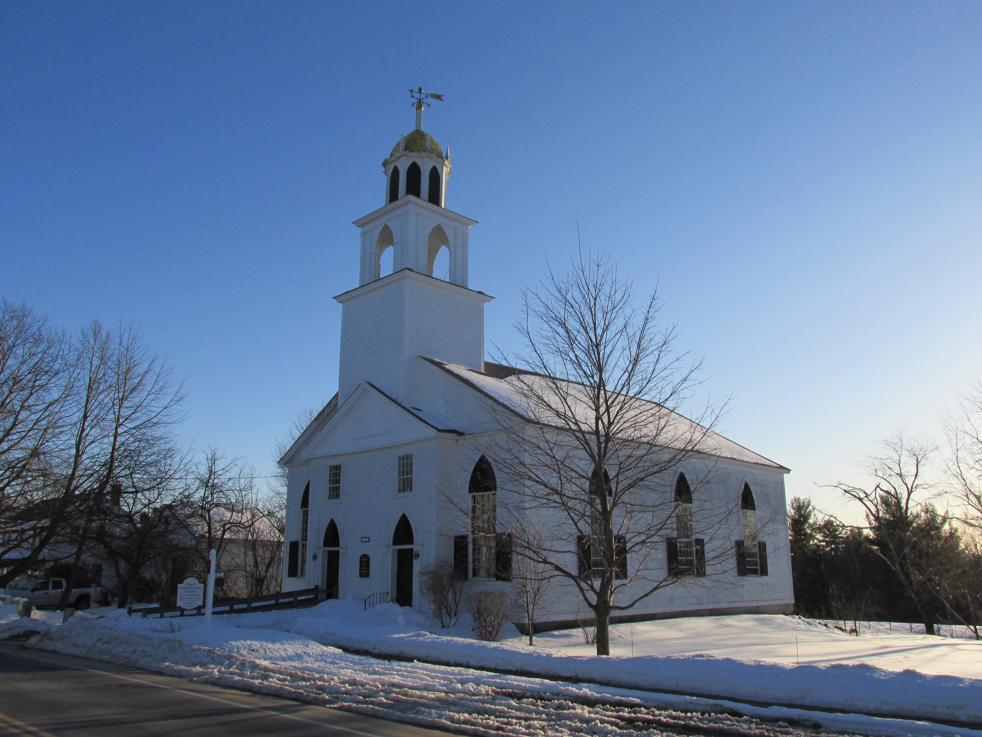
| image_skyline | Dunbarton Library and Town Hall, Dunbarton NH.jpg |
| imagesize | 250px |
| image_caption | Library and Town Hall |
| image_seal | Seal of Dunbarton, New Hampshire.png |
| image_map | Merrimack County New Hampshire incorporated and unincorporated areas Dunbarton highlighted.svg |
| mapsize | 300px |
| map_caption | Location in Merrimack County and the state of New Hampshire |
| coordinates | |
| subdivision_type | Country |
| subdivision_name | United States |
| subdivision_type1 | State |
| subdivision_type2 | County |
| subdivision_name1 | New Hampshire |
| subdivision_name2 | Merrimack |
| parts_type | Villages |
| parts | |
| established_title | Incorporated |
| established_date | 1765 |
| leader_title | Board of Selectmen |
| leader_name | |
| leader_title1 | Town Administrator |
| leader_name1 | Line Comeau |
| area_footnotes | |
| area_total_km2 | 81.1 |
| area_land_km2 | 79.9 |
| area_water_km2 | 1.2 |
| area_water_percent | 1.48 |
| elevation_ft | 825 |
| population_as_of | 2020 |
| population_footnotes | |
| population_total | 3005 |
| population_density_km2 | 37.6 |
| postal_code_type | ZIP code |
| postal_code | 03046 |
| area_code | 603 |
| website | |
| timezone | Eastern |
| utc_offset | -5 |
| timezone_DST | Eastern |
| utc_offset_DST | -4 |
| blank_name | FIPS code |
| blank_info | 33-19460 |
| blank1_name | GNIS feature ID |
| blank1_info | 0873583 |
Dunbarton is a town in Merrimack County, New Hampshire, United States. The population was 3,005 at the 2020 census, up from 2,758 at the 2010 census.
History
Originally granted as "Gorham's-town" in 1735, and re-granted as "Starkstown" in 1748, the town was incorporated in 1765 as Dunbarton. The name came from Dunbartonshire in Scotland, hometown to Archibald Stark, a prominent settler.
Geography
According to the United States Census Bureau, the town has a total area of 81.1 sqkm, of which 79.9 sqkm are land and 1.2 sqkm are water, comprising 1.48% of the town. The town is drained to the northeast by tributaries of the Turkey River, to the southeast by Black Brook and its tributaries, and to the west by tributaries of the Piscataquog River. The entire town is within the Merrimack River watershed. The highest point in Dunbarton is 925 ft above sea level near NH Route 13 north of Dunbarton Center.
The town claims to be the location of the geographic center of New England, based on a Boston University calculation from 2008.
Adjacent municipalities
- Bow (northeast)
- Hooksett (east)
- Goffstown (south)
- Weare (west)
- Hopkinton (north)
Demographics
As of the census of 2000, there were 2,226 people, 814 households, and 648 families residing in the town. The population density was 72.1 PD/sqmi. There were 858 housing units at an average density of 27.8 /sqmi. The racial makeup of the town was 98.43% White, 0.09% African American, 0.45% Native American, 0.45% Asian, 0.04% from other races, and 0.54% from two or more races. Hispanic or Latino of any race were 0.31% of the population.
There were 814 households, out of which 39.6% had children under the age of 18 living with them, 73.8% were married couples living together, 3.6% had a female householder with no husband present, and 20.3% were non-families. 14.1% of all households were made up of individuals, and 3.2% had someone living alone who was 65 years of age or older. The average household size was 2.73 and the average family size was 3.03.
In the town, the population was spread out, with 27.5% under the age of 18, 4.0% from 18 to 24, 34.8% from 25 to 44, 26.6% from 45 to 64, and 7.1% who were 65 years of age or older. The median age was 38 years. For every 100 females, there were 102.4 males. For every 100 females age 18 and over, there were 102.6 males.
The median income for a household in the town was $65,081, and the median income for a family was $67,448. Males had a median income of $46,042 versus $31,641 for females. The per capita income for the town was $27,892. About 2.3% of families and 2.8% of the population were below the poverty line, including 2.4% of those under age 18 and 4.9% of those age 65 or over.
Notable people
· Only people who already have a Wikipedia article may appear here. This establishes notability. · The article must mention how they are associated with Dunbarton, whether born, raised, or residing. · The fact of their association should have a reliable source cited. · Alphabetical by last name please. · All others will be deleted.
- Robert Lowell (1917–1977), poet; buried in Stark Cemetery
- John Ordway (1775–1817), sergeant in the Corps of Discovery, helped lead the Lewis and Clark Expedition
- Robert Rogers (1731–1795), commander of Rogers' Rangers during the French and Indian War; loyalist in the American Revolution
- Caleb Stark (1759–1838), New Hampshire state senator; eldest son of General John Stark and his wife Molly Stark
- John Stark (1728–1822), New Hampshire native who served as an officer in the British Army during the French and Indian war and a major general in the Continental Army during the American Revolution; known as the "Hero of Bennington" for his exemplary service at the Battle of Bennington in 1777
- Molly Stark (1737–1814), wife of General John Stark, made famous by his battle cry during the American Revolutionary War; described as "mother of 11 children, homemaker, patriot, and defender of the household"
References
References
- "2021 U.S. Gazetteer Files – New Hampshire". United States Census Bureau.
- "Dunbarton town, Merrimack County, New Hampshire: 2020 DEC Redistricting Data (PL 94-171)". U.S. Census Bureau.
- United States Census Bureau, [https://www.census.gov U.S. Census website], 2010 Census figures. Retrieved March 23, 2011.
- Gannett, Henry. (1905). "The Origin of Certain Place Names in the United States". Govt. Print. Off..
- Foster, Debra H.. (1995). "Water Use in New Hampshire: An Activities Guide for Teachers". U.S. Department of the Interior and U.S. Geological Survey.
- "Lots of Heart but Only One Center". Town of Dunbarton official website.
- "Census of Population and Housing". Census.gov.
- "U.S. Census website". [[United States Census Bureau]].
This article was imported from Wikipedia and is available under the Creative Commons Attribution-ShareAlike 4.0 License. Content has been adapted to SurfDoc format. Original contributors can be found on the article history page.
Ask Mako anything about Dunbarton, New Hampshire — get instant answers, deeper analysis, and related topics.
Research with MakoFree with your Surf account
Create a free account to save articles, ask Mako questions, and organize your research.
Sign up freeThis content may have been generated or modified by AI. CloudSurf Software LLC is not responsible for the accuracy, completeness, or reliability of AI-generated content. Always verify important information from primary sources.
Report