From Surf Wiki (app.surf) — the open knowledge base
Doukkala
| Field | Value |
|---|---|
| name | Doukkala |
| native_name_lang | |
| settlement_type | Natural region |
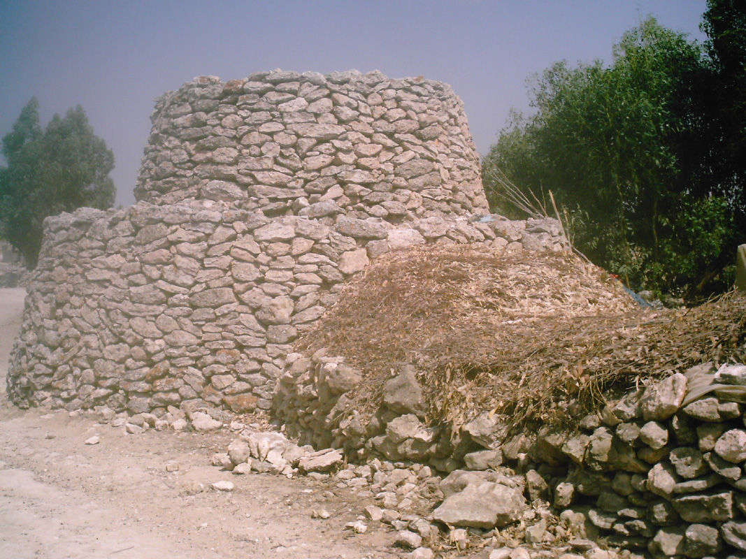
| image_skyline | Doukkala Djebel Xhadar.jpg |
| image_caption | The "Green Mountain", the only visible hill, east of the region |
| image_map | Doukkala-Abda.svg |
| map_caption | Location of the Doukkala natural region in Morocco |
| pushpin_relief | y |
| subdivision_type | Country |
| subdivision_name | Morocco |
| subdivision_name3 | |
| area_magnitude | |
| area_blank2_title | |
| area_blank2_km2 | |
| population_density_km2 | auto |
| website | |
| area_urban_footnotes | |
| area_rural_footnotes | |
| area_metro_footnotes |
the natural region
tags --| area_footnotes =
Doukkala (, ) is a natural region of Morocco made of fertile plains and forests. Nowadays it is part of the Casablanca-Settat administrative region.
It is a plain stretching from the Atlantic Ocean south of Sidi Rahal Chatai up to some 50 km further southward and the same distance eastward.
The main urban centers are Sidi Smail, Sidi Bennour, Had Ouled Frej, and Zemamra. Sidi Bennour is the fastest developing center of the four.
It is mainly an agricultural region, with few tourist attractions.
History
Historically, Doukkala referred to a confederation of Amazigh tribes which occupied the territory between the rivers of Oum Er-Rbia River and Tensift and from the Atlantic Ocean to Jbilate near Marrakesh. They were part of the much larger tribal confederation of Barghawata that stretched from Anfa to Tensift and were an independent state from 744 AD to 1058 AD.
The Doukkalas were a mix of majority Masmuda: the Ragrâga, Hazmîra, Banû Dghûgh, Banû Mâgir, and Mushtarayya (Mouchtaraia), together with the SanHâja. The SanHâja occupied the Atlantic coast between Azemmour and south of El Jadida.
When the Almohads under Abd al-Mu'min captured the town of Marrakesh in 1147, the Doukkals sided against them and in favor of the Almoravid dynasty. They were subsequently defeated by al-Mu'min, and purged, with women and children being sold into slavery. Al-Mu'min brought in less fractious Arab Bedouin tribes as immigrants to settle the area, including the Banu Hilal, a coalition of whom he had defeated earlier in Tunisia. Later immigrants included the al-Ma'qil. The Banu Hilal Arabs were put in here by the Almohad dynasty to place pressure on the Sanhaja Berbers who lived in the region and opposed the Almohads.
By 1250, of the Doukkala, only the Ragrâga had survived intact after their conquest and the subsequent immigration of eastern tribes.
Ever since the first installation of the Banu Hilal, there has been continuous linguistic and cultural mixing of both populations. It was possible to clearly distinguish the native Berber element from the Arab one as recently as the 16th century. By the year 1500, Arab pastoralists made up three quarters of the population and dominated four fifths of the land area. Based on the number of warriors that the Arab pastoralists could produce according to the historical author Leo Africanus, 100,000, the American scholar Vincent Cornell estimates the Arab pastoralist population of Doukkala at 375,000. Using the calculated estimate 200,000 for the population of urbanites and Berbers by Moroccan historian Ahmed Boucharb, the total population of Doukkala was estimated at 600,000 by Cornell. The linguistic Arabization is now complete, however. When American Captain James Riley (1770 AD) visited Doukkala, he said describing it : " the provinces of Abdah and Duquella, which are entirely peopled by Arabs living in tents, and in a primitive or wandering state, (their tents being formed of the same materials, and pitch- ed in the same manner as those of the Arabs on the desert) I observed that these people were of a much lighter complexion than those on the desert; but that circumstance, in all probability, was owing to the climate's being more temperate; to their being less exposed to the rays of the sun, and better clothed; yet their features were nearly the same, and those of both bear a strong resemblance to those of the Barbary Jews, who also have black eyes and Arab noses".
According to anthropologist David Montgomery Hart, the majority of the Doukkala tribal confederation are of Hilalian origin and in the 1960s they had either a sedentarized or semi-sedentarized Bedouin lifestyle preferring animal husbandry over agriculture. They also participated in fantasia also known as laʿb al-barud ("powder play"). Like with other regions in the Atlantic Coast like Chaouia and Chiadma, the Doukkala region is today inhabited by ʕrubis, an ethnically Bedouin group descending from Bedouin tribes who migrated to North Africa in the 11th–13th century.

Like with many of the large Berber tribes of Morocco like the Ait Atta and the Ait Waryaghar, they were divided into khams khmas ("five fifths"). This system was imposed on them by Makhzen for purposes of tax collection and the levying of harzas (soldiers for military expeditions). Despite this division being abandoned during the French protectorate, it remained as a guiding structural principle for Doukkalis and khams khmas is seen as a symbol of strength and power in Morocco.
These tribes and the khoms are:
- Khoms I:
- Khoms II: Oulad Bu Zerrara
- Khoms III: Oulad Amar
- Khoms IV: Oulad Frej, Awnat,
- Khoms V: Oulad Amar, Hawziya, Chtouka, Chiadma
The Chiadma are related to the Chiadma and Chtouka were from the Chtouka Ait Baha before being re-located to Doukkala North of the Oum Er-Rbia River.
At the end of the French protectorate (ca 1950), there lived in Doukkala 372,269 Muslims, 2,680 Europeans and 3,933 Jews. Hart estimated the population of the Doukkala tribal confederation to be 360,000 in 1960.
Geography
Doukkala is divided in three sub-regions, parallel to the seacoast.
- The "Oulja" (Arabic: الولـجة), along the beach, with garden-crops.
- The "Sahel" (Arabic: الساحل), some 20 km inside, a stony region, only suiting to sheep breeding.
- The rich plain, with wheat, sugar beets, and intensive cattle breeding.
The only mountain to be seen is at the border with the plain of Rahamna called "Jbel Lakhdar" (Arabic: جبل لخضر) meaning "Green Mountain".
The plain is subject to flooding. A temporary natural lake between Sidi Bennour and Larbaa Ouled Amrane called "Ouarar" (Arabic: ورار) only fills in rainy years. Its largest surface was noted in 1916, 1966 and 2008.
Gallery
File:Sugar beets thinning.jpg|Sugar beets cultivation at Sidi Smail File:Soucreye Sidi Bennour.jpg|Sugar factory at Sidi Bennour File:Mwarid tcherete.jpg|Center of a typical Doukkala village (Mwarid, Oulad Bou Hmam) File:Warar decimbe 2008 måjhon enaiwêye solea.jpg|Warar, a natural temporary lake, in 2008, flooding a house built in the 1970s File:Sahel Marok voye.jpg|"Sahel" sub-region, with "anticline climbing" road
Sources
References
References
- (1820). "Account of Timbuctoo and Housa; with Notes ...".
- (2005). "Doukkala (dukkâla)". Scarecrow Press.
- Empey, Heather J.. (2017). "Concubines and Courtesans: Women and Slavery in Islamic History". Oxford University Press.
- Fauvel, Jean-Jacques. (1978). "Le Guide bleu du Maroc". Hachette Tourisme.
- {{Harvard citation no brackets. Cornell. 1990
- {{Harvard citation no brackets. Cornell. 1990
- Michaux-Bellaire, Edouard. (2010). "تاريخ ناحية دكالة: دراسة جغرافية وتاريخية واجتماعية". المندوبية السامية لقدماء المقاومين وعضاء جيش التحرير،.
- العشيري, محمد نافع. (2019). "السوق اللغوية المغربية". كتوبيا للنشر والتوزيع.
- Riley, James. (1818). "An Authentic Narrative of the Loss of the American Brig Commerce, Wrecked on the Western Coast of Africa, in the Month of August, 1815: With an Account of the Sufferings of Her Surviving Officers and Crew, who Were Enslaved by the Wandering Arabs on the Great African Desert, Or Zahahrah : and Observations Historical, Geographical, &c., Made During the Travels of the Author, While a Slave to the Arabs, and in the Empire of Morocco". author.
- Hart, David Montgomery. (2013-10-16). "Islam in Tribal Societies: From the Atlas to the Indus". [[Routledge]].
- Hachimi, Atiqa. (2007-12-14). "Arabic in the City: Issues in Dialect Contact and Language Variation". [[Routledge]].
- Hachimi, Atiqa. (2007-12-14). "Arabic in the City: Issues in Dialect Contact and Language Variation". [[Routledge]].
- Ech-charfi, Ahmed. (2017-05-11). "Sociolinguistics in African Contexts: Perspectives and Challenges". [[Springer Nature.
- Dunn, Ross E.. (2018-05-01). "Resistance in the Desert: Moroccan Responses to French Imperialism 1881-1912". [[Routledge]].
- ''Guide bleu Hachette du Maroc'', 7th ed., 1950, p. 178.
This article was imported from Wikipedia and is available under the Creative Commons Attribution-ShareAlike 4.0 License. Content has been adapted to SurfDoc format. Original contributors can be found on the article history page.
Ask Mako anything about Doukkala — get instant answers, deeper analysis, and related topics.
Research with MakoFree with your Surf account
Create a free account to save articles, ask Mako questions, and organize your research.
Sign up freeThis content may have been generated or modified by AI. CloudSurf Software LLC is not responsible for the accuracy, completeness, or reliability of AI-generated content. Always verify important information from primary sources.
Report