From Surf Wiki (app.surf) — the open knowledge base
Double Island Point
Point in Queensland, Australia

Point in Queensland, Australia
Double Island Point, 2019]]
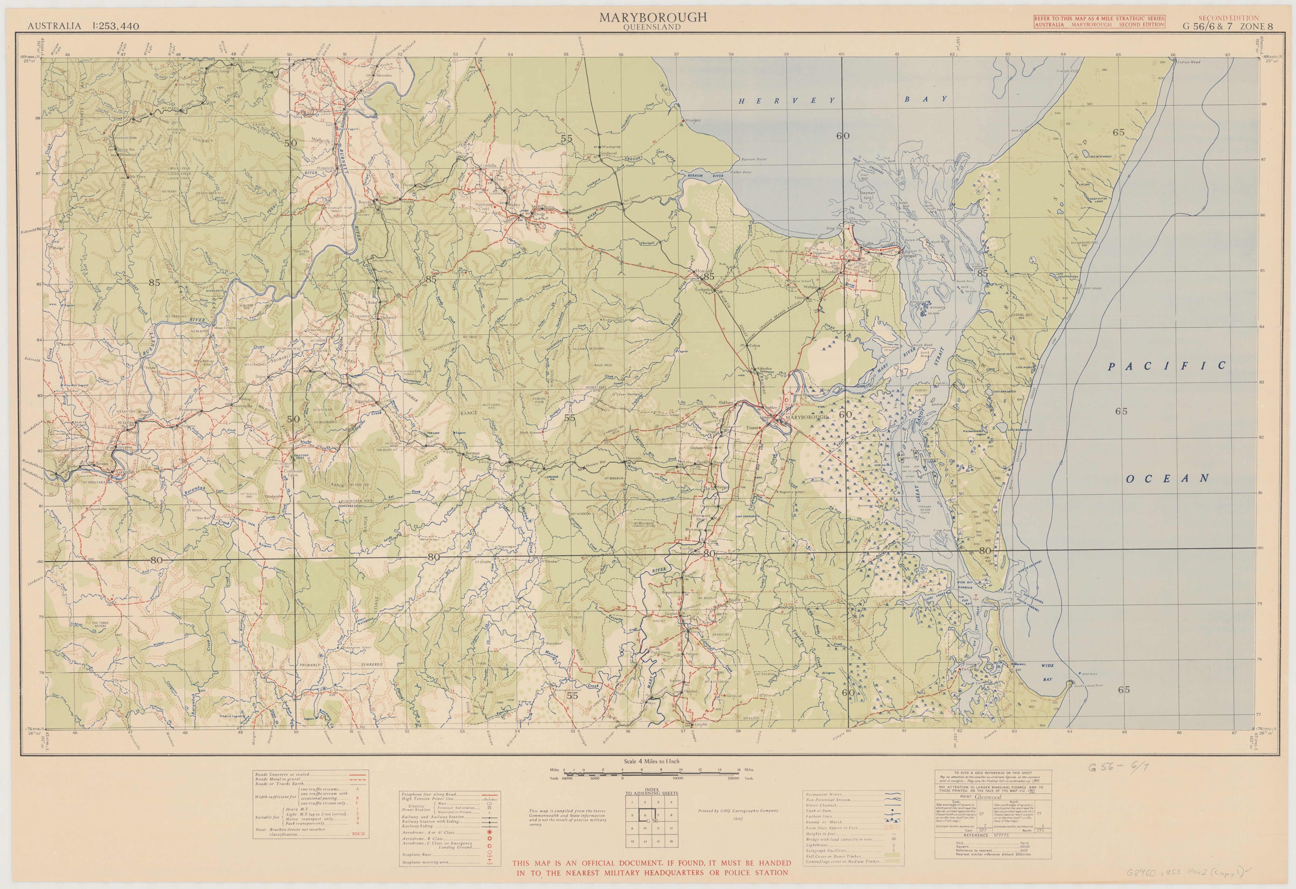
Double Island Point is a coastal headland in Queensland, Australia. It is the next headland north of Noosa and is within the Cooloola section of the Great Sandy National Park, at the southern end of Wide Bay. It is approximately 12 km south along the beach from the tourist township of Rainbow Beach.
History
The Kabi Kabi people have lived, hunted and fished in this area for tens of thousands of years. The site had obvious cultural significance and was used as a burial site by local indigenous people. The point was named by Lieutenant James Cook when his vessel passed it on 18 May 1770, "on account of its figure" (i.e. shape). He had originally written Fiddle Head in his journal , but crossed that out.
Geography
Despite the name, there is no double island, but rather a sandspit. It is the southern point of Wide Bay. Wolf Rock is a set of four volcanic pinnacles off Double Island Point.
There is no road access to the point, but four-wheel drive vehicles can go along the beach, either south from the township of Rainbow Beach in Wide Bay, or the longer way north from Noosa Heads (after taking a ferry across the Noosa River).
The northern side of the point is a surfing location. When there is a good swell, a right-hander breaks over sand, and for perhaps as much as 300 metres in ideal conditions.
Climate
Double Island Point has a humid subtropical climate (Köppen: Cfa) with hot, rainy summers and very mild, relatively dry winters. Being an island, conditions are windy year round, as 100 km/h wind gusts have been recorded in all months of the year.
On 16 December 2006, the Bureau of Meteorology weather station at the Double Island Point Lighthouse recorded a wind gust of 196 km/h, which accompanied a severe supercell thunderstorm. It was the highest non-tornadic wind gust ever recorded from a thunderstorm in Australia, and was equivalent to winds in a category 3 tropical cyclone.
|Jan record high C = 36.2 |Feb record high C = 35.9 |Mar record high C = 33.7 |Apr record high C = 32.4 |May record high C = 29.5 |Jun record high C = 27.8 |Jul record high C = 26.6 |Aug record high C = 28.6 |Sep record high C = 31.4 |Oct record high C = 33.9 |Nov record high C = 34.4 |Dec record high C = 37.3 |Jan record low C = 14.2 |Feb record low C = 12.2 |Mar record low C = 10.6 |Apr record low C = 8.9 |May record low C = 6.4 |Jun record low C = 3.1 |Jul record low C = 6.1 |Aug record low C = 1.1 |Sep record low C = 8.0 |Oct record low C = 8.9 |Nov record low C = 10.0 |Dec record low C = 10.0 |Jan dew point C = 20.8 |Feb dew point C = 21.0 |Mar dew point C = 19.9 |Apr dew point C = 17.8 |May dew point C = 15.1 |Jun dew point C = 12.5 |Jul dew point C = 11.1 |Aug dew point C = 11.5 |Sep dew point C = 13.8 |Oct dew point C = 16.1 |Nov dew point C = 18.0 |Dec dew point C = 19.9 |access-date = 1 April 2024
Heritage listings
Double Island Point has a number of heritage-listed sites, including:
- Double Island Point: Double Island Point Light
Lighthouse
Main article: Double Island Point Light
In 1884, a lighthouse was built on the point. It constructed of timber with metal cladding, as are many lighthouses in Queensland, because it is cheaper than masonry but also better suited for soft, sandy soils. The lighthouse was planned to be built only halfway up the point, but it was realised the light wouldn't be visible to the north, so the tower was built on top of the point. The lantern initially burned oil, and was converted to vaporised kerosene in 1923. Later, it was converted to electric power. In 1992, it was converted to solar power and destaffed. The light characteristic is a single flash every 7.5 seconds, and the focal plane is located 96 metres above sea level.
References
References
- "The Double Island Point Aboriginal burials, coastal southeast Queensland | Australian Archaeological Association Inc".
- [[Ray Parkin]], ''H. M. Bark Endeavour'', [[Miegunyah Press]], second edition 2003, {{ISBN. 0-522-85093-6, page 227.
- (11 September 2021). "Endangered grey nurse shark population slowly increasing on Australia's east coast". [[Australian Broadcasting Corporation]].
- [http://www.epa.qld.gov.au/parks_and_forests/find_a_park_or_forest/cooloola_northern_great_sandy_national_park/ Cooloola Northern page] {{webarchive. link. (3 July 2006 at the [[Queensland Parks and Wildlife Service]])
- "Double Island Point Lighthouse Climate Statistics". [[Bureau of Meteorology]].
- [http://www.weatherzone.com.au/station.jsp?lt=site&lc=40068&dt=16%2F12%2F2006/ Double Is Pt Observations Saturday 16 December 2006]. Weatherzone
- [http://www.bom.gov.au/inside/services_policy/public/sigwxsum/pdf/sigw1206.pdf Significant Weather - December 2006]. Bureau of Meteorology
- {{cite QHR. 16464. Double Island Point Lightstation. 601722
- {{cite loa. QLD. Double%20Island%20Point. The Double Island Point Lighthouse
- {{cite rowlett. qld
This article was imported from Wikipedia and is available under the Creative Commons Attribution-ShareAlike 4.0 License. Content has been adapted to SurfDoc format. Original contributors can be found on the article history page.
Ask Mako anything about Double Island Point — get instant answers, deeper analysis, and related topics.
Research with MakoFree with your Surf account
Create a free account to save articles, ask Mako questions, and organize your research.
Sign up freeThis content may have been generated or modified by AI. CloudSurf Software LLC is not responsible for the accuracy, completeness, or reliability of AI-generated content. Always verify important information from primary sources.
Report