From Surf Wiki (app.surf) — the open knowledge base
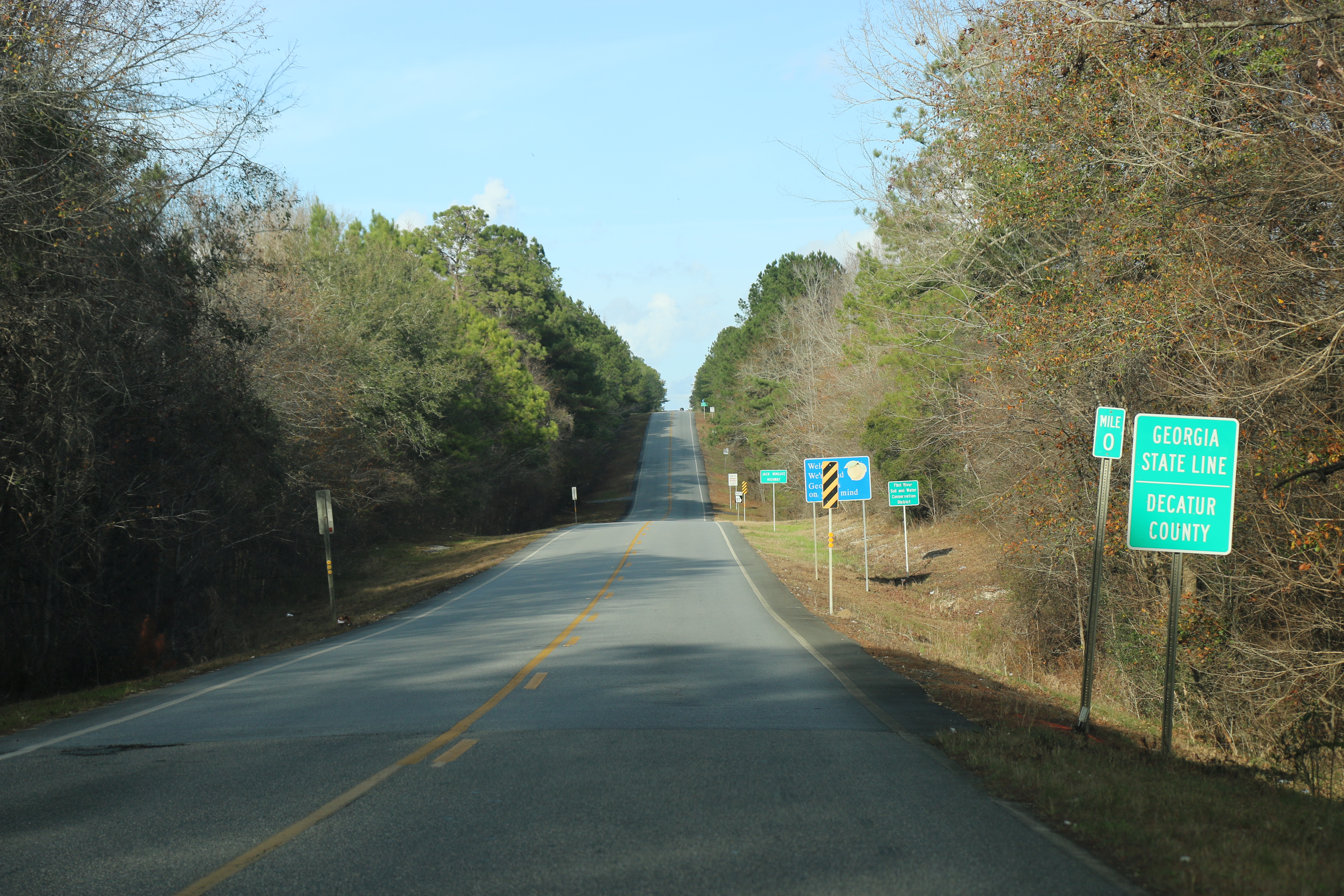
Decatur County, Georgia
County in Georgia, United States
County in Georgia, United States
| Field | Value |
|---|---|
| county | Decatur County |
| state | Georgia |
| seal | Seal of Decatur County, GA.png |
| founded | |
| seat wl | Bainbridge |
| largest city wl | Bainbridge |
| area_total_sq_mi | 623 |
| area_land_sq_mi | 597 |
| area_water_sq_mi | 26 |
| area percentage | 4.2% |
| census yr | 2020 |
| pop | 29367 |
| density_sq_mi | 49 |
| time zone | Eastern |
| web | www.decaturcountyga.gov |
| ex image | Decatur County Courthouse (NW corner).JPG |
| ex image cap | Decatur County Courthouse in Bainbridge |
| district | 2nd |
| named for | Stephen Decatur |
| logo | Decatur County, GA logo.png |
Decatur County is a county located in the U.S. state of Georgia. As of the 2020 census, the population was 29,367. The county seat is Bainbridge.
Decatur County comprises the Bainbridge, GA Micropolitan Statistical Area (μSA), which is included in the Tallahassee—Bainbridge, FL-GA Combined Statistical Area.
History
The county was created by an act of the Georgia General Assembly on December 8, 1823, from a portion of Early County. Three other counties were created from land that was originally part of Decatur County.
In 1825, a portion of Decatur was used in the creation of Thomas County. In 1905, another portion of Decatur was used in the creation of part of Grady County. In 1920, the western portion of Decatur County was used to form Seminole County in its entirety.
Decatur County is named for United States Navy Commodore Stephen Decatur, a hero of the War of 1812.
Geography
According to the U.S. Census Bureau, the county has a total area of 623 sqmi, of which 597 sqmi is land and 26 sqmi (4.2%) is water.
The bulk of Decatur County, from northeast to southwest, and centered on Bainbridge, is located in the Lower Flint River sub-basin of the ACF River Basin (Apalachicola-Chattahoochee-Flint River Basin). Almost all of the county's western border is located in the Spring Creek sub-basin of the same ACF River Basin. The southwestern portion of Decatur County, centered on Attapulgus, and bordered on the west by State Route 302, is located on the Lower Ochlockonee River sub-basin of the larger Ochlockonee River basin. Finally, the county's southwestern corner, west of State Route 302, is located in the Apalachicola River sub-basin of the same larger ACF River basin.
Major highways
- [[File:US 27.svg|20px]] U.S. Route 27
- [[File:Business plate.svg|20px]]
- [[File:US 84.svg|20px]] U.S. Route 84
- [[File:Business plate.svg|20px]]
- [[File:Georgia 1.svg|20px]] State Route 1
- [[File:Georgia 1 Business.svg|20px]] State Route 1 Business
- [[File:Georgia 38.svg|20px]] State Route 38
- [[File:Georgia 97.svg|20px]] State Route 97
- [[File:Georgia 97 Spur.svg|20px]] State Route 97 Spur
- [[File:Georgia 241.svg|25px]] State Route 241
- [[File:Georgia 253.svg|20px]] State Route 253
- [[File:Georgia 253 Spur.svg|20px]] State Route 253 Spur
- [[File:Georgia 262.svg|25px]] State Route 262
- [[File:Georgia 285.svg|20px]] State Route 285
- [[File:Georgia 302.svg|20px]] State Route 302
- [[File:Georgia 302 Spur.svg|20px]] State Route 302 Spur
- [[File:Georgia 309.svg|25px]] State Route 309
- [[File:Georgia 310.svg|25px]] State Route 310
- [[File:Georgia 311.svg|25px]] State Route 311
Adjacent counties
- Miller County - north
- Mitchell County - northeast
- Baker County - northeast
- Grady County - east
- Gadsden County, Florida - south
- Seminole County - west
Communities
Cities
- Attapulgus
- Bainbridge
- Climax
Town
- Brinson
Census-Designated Place
- Faceville
Unincorporated communities
- Amsterdam
- Ausmac
- Cyrene
- Eldorendo
- Fowlstown
- Vada
Demographics
|align-fn=center 1790-1880 1890-1910 1920-1930 1930-1940 1940-1950 1960-1980 1980-2000 2010
| Race | Num. | Perc. |
|---|---|---|
| White | 14,280 | 48.63% |
| Black or African American | 12,200 | 41.54% |
| Native American | 64 | 0.22% |
| Asian | 183 | 0.62% |
| Pacific Islander | 16 | 0.05% |
| Other/Mixed | 713 | 2.43% |
| Hispanic or Latino | 1,911 | 6.51% |
As of the 2020 United States census, there were 29,367 people and 7,113 families residing in the county. The median age was 40.0 years. 23.6% of residents were under the age of 18 and 18.0% of residents were 65 years of age or older. For every 100 females there were 95.4 males, and for every 100 females age 18 and over there were 92.3 males age 18 and over. 47.2% of residents lived in urban areas, while 52.8% lived in rural areas.
The racial makeup of the county was 49.6% White, 41.7% Black or African American, 0.4% American Indian and Alaska Native, 0.6% Asian, 0.1% Native Hawaiian and Pacific Islander, 4.1% from some other race, and 3.6% from two or more races. Hispanic or Latino residents of any race comprised 6.5% of the population.
There were 11,466 households in the county, of which 31.3% had children under the age of 18 living with them and 34.8% had a female householder with no spouse or partner present. About 29.2% of all households were made up of individuals and 13.3% had someone living alone who was 65 years of age or older.
There were 13,036 housing units, of which 12.0% were vacant. Among occupied housing units, 61.9% were owner-occupied and 38.1% were renter-occupied. The homeowner vacancy rate was 1.3% and the rental vacancy rate was 6.3%.
Education
Decatur County School District is the local school district with Bainbridge High School being the local high school.
Spring Creek Charter Academy was formed in 2019 and includes grades Pre-K through 9th Grade as of 2023–2024 school year with the next year being added as each grade progresses through the years.
Abraham Baldwin Agricultural College has a satellite campus in Bainbridge. Southern Regional Technical College has a satellite campus in Bainbridge serving the county.
Politics
As of the 2020s, Decatur County is a Republican stronghold, voting 62% for Donald Trump in 2024. For elections to the United States House of Representatives, Decatur County is part of Georgia's 2nd congressional district, currently represented by Sanford Bishop. For elections to the Georgia State Senate, Decatur County is part of District 11. For elections to the Georgia House of Representatives, Decatur County is part of District 171.
References
;General
;Specific
References
- "Census - Geography Profile: Decatur County, Georgia". [[United States Census Bureau]].
- "Find a County". National Association of Counties.
- Krakow, Kenneth K.. (1975). "Georgia Place-Names: Their History and Origins". Winship Press.
- Gannett, Henry. (1905). "The Origin of Certain Place Names in the United States". Govt. Print. Off..
- (February 12, 2011). "US Gazetteer files: 2010, 2000, and 1990". [[United States Census Bureau]].
- "Georgia Soil and Water Conservation Commission Interactive Mapping Experience". Georgia Soil and Water Conservation Commission.
- "County Population Totals and Components of Change: 2020-2024". United States Census Bureau.
- "Decennial Census of Population and Housing by Decades". United States Census Bureau.
- (1880). "1880 Census Population by Counties 1790-1800". United States Census Bureau.
- (1910). "1910 Census of Population - Georgia". United States Census Bureau.
- (1930). "1930 Census of Population - Georgia". United States Census Bureau.
- (1940). "1940 Census of Population - Georgia". United States Census Bureau.
- (1950). "1950 Census of Population - Georgia -". United States Census Bureau.
- (1980). "1980 Census of Population - Number of Inhabitants - Georgia". United States Census Bureau.
- (2000). "2000 Census of Population - Population and Housing Unit Counts - Georgia". United States Census Bureau.
- "State & County QuickFacts". United States Census Bureau.
- "Explore Census Data".
- (2023). "2020 Decennial Census Demographic and Housing Characteristics (DHC)".
- (2021). "2020 Decennial Census Demographic Profile (DP1)".
- (2021). "2020 Decennial Census Redistricting Data (Public Law 94-171)".
- "Georgia General Assembly".
- "Georgia General Assembly".
- Leip, David. "Dave Leip's Atlas of U.S. Presidential Elections".
This article was imported from Wikipedia and is available under the Creative Commons Attribution-ShareAlike 4.0 License. Content has been adapted to SurfDoc format. Original contributors can be found on the article history page.
Ask Mako anything about Decatur County, Georgia — get instant answers, deeper analysis, and related topics.
Research with MakoFree with your Surf account
Create a free account to save articles, ask Mako questions, and organize your research.
Sign up freeThis content may have been generated or modified by AI. CloudSurf Software LLC is not responsible for the accuracy, completeness, or reliability of AI-generated content. Always verify important information from primary sources.
Report