From Surf Wiki (app.surf) — the open knowledge base
Dayton, Texas
| Field | Value |
|---|---|
| official_name | City of Dayton |
| settlement_type | City |
| image_skyline | DaytonLibraryCenterSF.jpg |
| image_map | TXMap-doton-Dayton.PNG |
| mapsize | 250px |
| map_caption | Location in the state of Texas |
| image_map1 | Liberty County Dayton.svg |
| mapsize1 | 250px |
| subdivision_type | Country |
| subdivision_type1 | State |
| subdivision_type2 | County |
| subdivision_name | United States |
| subdivision_name1 | Texas |
| subdivision_name2 | Liberty |
| government_type | Council–manager |
| leader_title | Mayor |
| leader_title1 | City manager |
| established_title | Founded |
| established_date | 1831 as West Liberty |
| established_title1 | Incorporated |
| established_date1 | May 3, 1911 - Aug 29, 1911; Nov 28, 1925 |
| unit_pref | Imperial |
| area_footnotes | |
| area_land_km2 | 79.41 |
| area_water_km2 | 0.10 |
| area_total_sq_mi | 30.70 |
| area_total_km2 | 79.51 |
| population_as_of | 2020 |
| population_footnotes | |
| population_total | 8777 |
| population_density_sq_mi | 273.60 |
| population_density_km2 | 105.64 |
| timezone | CST |
| utc_offset | -6 |
| timezone_DST | CDT |
| utc_offset_DST | -5 |
| coordinates | |
| area_land_sq_mi | 30.66 |
| area_water_sq_mi | 0.04 |
| elevation_footnotes | |
| elevation_ft | 66 |
| postal_code_type | ZIP code |
| postal_code | 77535 |
| area_code | 936 |
| blank_name | FIPS code |
| blank_info | 48-19432 |
| blank1_name | GNIS feature ID |
| blank1_info | 2410300 |
| website |
Dayton is a city in Liberty County, Texas, United States. The population was 8,777 at the 2020 census.
Geography
According to the United States Census Bureau, the city has a total area of 30.70 sqmi, of which all but 0.04 sqmi is land.
Climate
The climate in this area is characterized by hot, humid summers and generally mild to cool winters. According to the Köppen Climate Classification system, Dayton has a humid subtropical climate, abbreviated "Cfa" on climate maps.
Demographics
|align-fn=center 1850–1900 1910 1920 1930 1940
1950 1960 1970 1980 1990 2000 2010 *1870 as West Liberty
| Race | Number | Percentage |
|---|---|---|
| White (NH) | 5,029 | 57.3% |
| Black or African American (NH) | 1,314 | 14.97% |
| Native American or Alaska Native (NH) | 30 | 0.34% |
| Asian (NH) | 133 | 1.52% |
| Pacific Islander (NH) | 2 | 0.02% |
| Some Other Race (NH) | 32 | 0.36% |
| Mixed/Multi-Racial (NH) | 385 | 4.39% |
| Hispanic or Latino | 1,852 | 21.1% |
| Total | 8,777 |
As of the 2020 United States census, there were 8,777 people, 2,892 households, and 2,115 families residing in the city.
As of the census of 2000, there were 5,709 people, 2,129 households, and 1,517 families residing in the city. The population density was 517.1 PD/sqmi. There were 2,371 housing units at an average density of 214.8 /sqmi. The racial makeup of the city was 71.08% White, 19.69% African American, 0.44% Native American, 0.68% Asian, 0.04% Pacific Islander, 6.67% from other races, and 1.40% from two or more races. Hispanic or Latino of any race were 10.53% of the population.
There were 2,129 households, out of which 37.4% had children under the age of 18 living with them, 50.5% were married couples living together, 16.4% had a female householder with no husband present, and 28.7% were non-families. 25.2% of all households were made up of individuals, and 12.1% had someone living alone who was 65 years of age or older. The average household size was 2.66 and the average family size was 3.18.
In the city, the population was spread out, with 30.0% under the age of 18, 9.7% from 18 to 24, 28.2% from 25 to 44, 20.2% from 45 to 64, and 12.0% who were 65 years of age or older. The median age was 33 years. For every 100 females, there were 89.3 males. For every 100 females age 18 and over, there were 87.4 males.
The median income for a household in the city was $52,179, and the median income for a family was $47,250. Males had a median income of $39,075 versus $21,068 for females. The per capita income for the city was $29,123. About 16.3% of families and 21.3% of the population were below the poverty line, including 33.6% of those under age 18 and 15.8% of those age 65 or over.
History
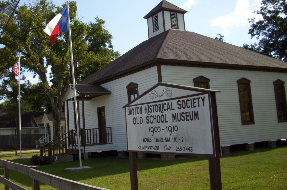
Dayton was historically also called West Liberty, Day's Town, Days Station, and Dayton Station. It was founded in 1831 as West Liberty, situated three miles west of the Trinity River, with Liberty on the east bank. It had a West Liberty post office from 1839–1841 and a Dayton post office, starting in 1877. Dayton was originally a part of the City of Liberty, but voters petitioned and voted to separate from the City of Liberty in 1898. Dayton incorporated in May 1911. A fire that devoured the center of town in late August 1911 was followed a few days later by a vote to disincorporate. Dayton voted to reincorporated on November 28, 1925.
Government and infrastructure
The Texas Department of Criminal Justice (TDCJ) operates the Dayton District Parole Office in Dayton. In addition, the TDCJ operates some correctional facilities near the City limits of Dayton. The L.V. Hightower Unit prison and the Dempsie Henley Unit and Lucille G. Plane Unit prisons are 4 mi north of the downtown area of Dayton.
The United States Postal Service operates the Dayton Post Office.
The District 18 seat in the Texas House of Representatives is currently held by republican Ernest Bailes.
The city of Dayton operates under a typical council–manager government with five elected members, and a mayor elected at-large. All six are non-partisan and unpaid, elected for two and three year terms, staggered so three positions are up for election each year. The current mayor is Martin Mudd elected in 2023. His current term will expire in 2026. Executive power is vested in the council-appointed city manager, currently City Manager Kimberly Judge. City Administration also includes a Deputy City Manager Derek Woods.
The Dayton Economic Development Corporation (DEDC), a type B Economic Development entity, provides economic development and community development services to the greater Dayton, Texas region. DEDC has invested over $3 Million in the local business community since its creation in 1996.
Transportation
Highways
The major route passing through Dayton is U.S. Highway 90, traveling west towards Crosby and Houston and east into East Texas to Beaumont and onward to Louisiana.
SH 321 connects Dayton to Cleveland. Within the city of Dayton, SH 321 is referred to as North Cleveland Street, passing through residential Dayton as a four-lane urban highway, before narrowing back down to a two-lane rural State Highway going north to Cleveland.
SH 146 provides Dayton with a connection to Baytown.
FM 1960 connects Dayton to the northern reaches of Houston as well as Humble and Huffman. FM 1409 connects Dayton to Old River-Winfree.
Grand Parkway (SH 99) is a loop toll road that intersects with US 90 and connects Dayton with other outer areas of Greater Houston.
Railroads
Dayton is the meeting point of two rail lines. One is a north/south Union Pacific (UP) line that comes out of the UP Baytown Subdivision. The other is the east/west UP Lafayette Subdivision line that roughly follows US 90. The BNSF has authority to operate its trains on the Baytown Subdivision from Dayton to just west of Baytown and has a rail yard just south of Dayton. Another rail line runs through the northern edge of the city, called the UP Beaumont Subdivision. A study was performed by the Texas Department of Transportation concerning a Dayton-to-Cleveland single mainline rail corridor consisting of approximately 40 miles of track connecting the UP Lufkin Subdivision and the BNSF Conroe Subdivision near Cleveland to the UPRR Baytown Subdivision south of Dayton.
Education
The city of Dayton is served by the Dayton Independent School District. Dayton has a high school called Dayton High School (Texas)
Dayton ISD students are zoned to Lee College.
The community is served by the Jones Public Library. The Jones Library Board is an advisory board appointed by the Dayton City Council.
Notable people
- Don Brown, football player
- Bill Daniel, governor of the United States Territory of Guam
- Marion Price Daniel, Sr., Texas governor
- Julie Kocurek, attorney and judge
- Mike Mabry, American football center
- John Otto, American politician
- Aaron Ripkowski, football player
References
References
- "2019 U.S. Gazetteer Files". United States Census Bureau.
- "US Census Bureau Population Finder: Baytown city, TX". factfinder.census.gov.
- "U.S. Census website". [[United States Census Bureau]].
- {{GNIS. 2410300
- [http://www.weatherbase.com/weather/weather-summary.php3?s=691514&cityname=Dayton%2C+Texas%2C+United+States+of+America&units= Climate Summary for Dayton, Texas]
- "Decennial Census by Decade".
- "1900 Census of Population - Population of Texas By Counties And Minor Civil Divisions".
- "1910 Census of Population - Supplement for Texas".
- "1920 Census of Population - Number of Inhabitants - Texas".
- "1930 Census of Population - Number of Inhabitants - Texas".
- "1940 Census of Population - Number of Inhabitants - Texas".
- "1950 Census of Population - Number of Inhabitants - Texas".
- "1960 Census of Population - Number of Inhabitants - Texas".
- "1970 Census of Population - Number of Inhabitants - Texas".
- "1980 Census of Population - Number of Inhabitants - Texas".
- "1990 Census of Population - Population and Housing Unit Counts - Texas".
- "2000 Census of Population - Population and Housing Unit Counts - Texas".
- "2010 Census of Population - Population and Housing Unit Counts - Texas".
- "Explore Census Data".
- "About the Hispanic Population and its Origin".
- (25 Aug 1911). "Dayton Has a Fire".
- (1 Sep 1911). "Dayton Corporation Abolished".
- "Dayton, TX". Texas State Historical Association.
- "Our History". City of Dayton.
- "[http://www.tdcj.state.tx.us/parole/parole-directory/paroledir-rgnldisparoff3.htm Parole Division Region III] {{webarchive. link. (2010-07-25 ." [[Texas Department of Criminal Justice]]. Retrieved on May 15, 2010.)
- "[http://www.tdcj.state.tx.us/stat/unitdirectory/hi.htm Hightower Unit] {{webarchive. link. (2010-07-25 ." [[Texas Department of Criminal Justice]]. Retrieved on May 10, 2010.)
- "[http://www.tdcj.state.tx.us/stat/unitdirectory/lt.htm Henley Unit] {{webarchive. link. (2010-07-25 ." [[Texas Department of Criminal Justice]]. Retrieved on May 10, 2010.)
- "[http://www.tdcj.state.tx.us/stat/unitdirectory/lj.htm Plane Unit] {{webarchive. link. (2010-07-25 ." [[Texas Department of Criminal Justice]]. Retrieved on May 10, 2010.)
- "[http://usps.whitepages.com/service/post_office/dayton-110-s-main-st-dayton-tx-1360389 Post Office Location - DAYTON] {{Webarchive. link. (2012-06-09 ." [[United States Postal Service]]. Retrieved on May 16, 2010.)
- "Elected Officials Districts: Texas House District 18".
- "Government". City of Dayton, TX.
- "STATE HIGHWAY NO. 321". Texas Department of Transportation.
- "STATE HIGHWAY NO. 146". Texas Department of Transportation.
- "FARM TO MARKET ROAD NO. 1960". Texas Department of Transportation.
- "FARM TO MARKET ROAD NO. 1409". Texas Department of Transportation.
- "Houston-Beaumont Region Freight Study".
- [https://statutes.capitol.texas.gov/Docs/ED/htm/ED.130.htm Texas Education Code, Sec. 130.186. LEE COLLEGE DISTRICT SERVICE AREA].
- "Jones Public Library Board".
- "Texas Giant: The Life of Price Daniel", by Dan Murph {{ISBN. 978-1-57168-571-1
This article was imported from Wikipedia and is available under the Creative Commons Attribution-ShareAlike 4.0 License. Content has been adapted to SurfDoc format. Original contributors can be found on the article history page.
Ask Mako anything about Dayton, Texas — get instant answers, deeper analysis, and related topics.
Research with MakoFree with your Surf account
Create a free account to save articles, ask Mako questions, and organize your research.
Sign up freeThis content may have been generated or modified by AI. CloudSurf Software LLC is not responsible for the accuracy, completeness, or reliability of AI-generated content. Always verify important information from primary sources.
Report