From Surf Wiki (app.surf) — the open knowledge base
Dayton metropolitan area
| Field | Value | |||||||
|---|---|---|---|---|---|---|---|---|
| name | Metro Dayton | |||||||
| official_name | Dayton–Springfield–Kettering, OH | |||||||
| Combined Statistical Area | ||||||||
| settlement_type | Metropolitan Statistical Area | |||||||
| image_skyline | Dayton Skyline.jpg | |||||||
| imagesize | 300px | |||||||
| image_caption | City of Dayton skyline from | |||||||
| Woodland Cemetery and Arboretum | ||||||||
| image_map | {{maplink | frame=yes | plain=yes | frame-align=center | frame-width=290 | frame-height=300 | zoom=8 | frame-coord= |
| type1 | shape | id=Q485600 | title1=Montgomery County | stroke-color1=#0200D1 | stroke-width1=0.5 | fill1=#0200D1 | fill-opacity1=0.4 | |
| type2 | shape | id2=Q825807 | title2=Greene County | stroke-color2=#0200D1 | stroke-width2=0.5 | fill2=#0200D1 | fill-opacity2=0.4 | |
| type3 | shape | id3=Q489595 | title3=Miami County | stroke-color3=#0200D1 | stroke-width3=0.5 | fill3=#0200D1 | fill-opacity3=0.4 | |
| type4 | shape | id4=Q485558 | title4=Clark County | stroke-color4=#156000 | stroke-width4=0.5 | fill4=#156000 | fill-opacity4=0.4 | |
| type5 | shape | id5=Q489546 | title5=Shelby County | stroke-color5=#999999 | stroke-width5=0.5 | fill5=#999999 | fill-opacity5=0.4 | |
| type6 | shape | id6=Q485592 | title6=Darke County | stroke-color6=#00BCE4 | stroke-width6=0.5 | fill6=#00BCE4 | fill-opacity6=0.4 | |
| type7 | shape | id7=Q389573 | title7=Champaign County | stroke-color7=#FF9200 | stroke-width7=0.5 | fill7=#FF9200 | fill-opacity7=0.4 | |
| type8 | shape | id8=Q34739 | title8=City of Dayton | stroke-color8=#007272 | stroke-width8=0.5 | fill8=#007272 | fill-opacity8=0.4 | |
| map_caption | Map of Dayton–Springfield–Kettering, OH CSA | |||||||
| coordinates | ||||||||
| subdivision_type | Country | |||||||
| subdivision_name | [[File:Flag of United States.svg | border | 23px]] United States | |||||
| subdivision_type1 | State | |||||||
| subdivision_name1 | [[File:Flag of Ohio.svg | border | 23px]] Ohio | |||||
| subdivision_type2 | Largest city | |||||||
| subdivision_name2 | Dayton | |||||||
| subdivision_type3 | Other cities (Suburbs) | |||||||
| subdivision_name3 | - Kettering | |||||||
| - Beavercreek | ||||||||
| - Huber Heights | ||||||||
| - Fairborn | ||||||||
| unit_pref | US | |||||||
| area_total_sq_mi | 1,715 | |||||||
| elevation_max_footnotes | tags -- | |||||||
| elevation_min_footnotes | tags -- | |||||||
| population_as_of | 2020 | |||||||
| population_total | 814,049 | |||||||
| population_density_sq_mi | 478 | |||||||
| population_density_km2 | 185 | |||||||
| population_rank | 73rd in the U.S. | |||||||
| demographics_type2 | GDP | |||||||
| demographics2_footnotes | ||||||||
| demographics2_title1 | MSA | |||||||
| demographics2_info1 | $41.111 billion (2022) | |||||||
| timezone1 | Eastern Standard Time | |||||||
| utc_offset1 | −05:00 | |||||||
| timezone1_DST | Eastern Daylight Time | |||||||
| utc_offset1_DST | −04:00 | |||||||
| website |
the metropolitan area in Ohio
Combined Statistical Area Woodland Cemetery and Arboretum
-
Beavercreek
-
Huber Heights
-
Fairborn
-
Centerville
-
Miamisburg
-
West Carrollton Metro Dayton or the Miami Valley, or more formally the Dayton–Kettering–Beavercreek, OH Metropolitan Statistical Area, as defined by the United States Census Bureau, is an area consisting of three counties in the Miami Valley region of Ohio and is anchored by the city of Dayton. As of 2020, it is the fourth-largest metropolitan area in Ohio and the 73rd-largest metropolitan area by population
Counties
- Greene
- Miami
- Shelby
- Montgomery
Cities
Places with more than 100,000 inhabitants
- Dayton (principal city) – 135,944
Places with 25,000 to 100,000 inhabitants
- Kettering – 57,862
- Beavercreek – 46,636
- Huber Heights – 43,439
- Fairborn – 34,977
- Troy – 26,432
- Xenia – 25,463
- Riverside – 24,350
Places with 10,000 to 25,000 inhabitants
- Centerville – 24,240
- Trotwood – 22,968
- Piqua – 20,442
- Miamisburg – 19,790
- Springboro – 19,263
- Vandalia – 15,090
- Englewood – 13,396
- Clayton – 13,310
- West Carrollton – 13,012
- Tipp City – 10,331
- Sidney - 20,421
Places with 5,000 to 10,000 inhabitants
- Oakwood – 8,936
- Bellbrook – 7,344
- Union – 6,891
- Moraine – 6,470
- Brookville – 5,874
- Germantown – 5,519
- Carlisle – 5,446
Places with 1,000 to 5,000 inhabitants
- West Milton – 4,828
- Cedarville – 4,320
- New Lebanon – 3,984
- Yellow Springs – 3,744
- Covington – 2,708
- Wilberforce – 2,271
- Shawnee Hills – 2,171
- Jamestown – 2,136
- Drexel – 2,076
- Bradford – 1,866
- Pleasant Hill – 1,254
Places with fewer than 1,000 inhabitants
- Bowersville
- Casstown
- Clifton (partial)
- College Corner (partial)
- Eldorado
- Farmersville
- Fletcher
- Gratis
- Laura
- Ludlow Falls
- Phillipsburg
- Potsdam
- Spring Valley
- Verona
- West Elkton
- West Manchester
Unincorporated places
- Brandt
- Byron
- Chautauqua (partial)
- Conover
- Fairhaven
- Fort McKinley
- Morning Sun
- New Hope
- Northridge
- Phoneton
- Pyrmont
- Shiloh
- West Charleston
- Woodbourne-Hyde Park
Townships
Greene County

- Bath Township
- Beavercreek Township
- Caesarscreek Township
- Cedarville Township
- Jefferson Township
- Miami Township
- New Jasper Township
- Ross Township
- Silvercreek Township
- Spring Valley Township
- Sugarcreek Township
- Xenia Township
Miami County
- Bethel Township
- Brown Township
- Concord Township
- Elizabeth Township
- Lostcreek Township
- Monroe Township
- Newberry Township
- Newton Township
- Springcreek Township
- Staunton Township
- Union Township
- Washington Township
Montgomery County
- Butler Township
- Clay Township
- German Township
- Harrison Township
- Jackson Township
- Jefferson Township
- Miami Township
- Perry Township
- Washington Township
Combined statistical area
The Dayton–Springfield–Kettering Combined Statistical Area is a Combined Statistical Area in the U.S. state of Ohio, as defined by the United States Census Bureau. It consists of the Dayton Metropolitan Statistical Area (the counties of Montgomery, Greene and Miami); the Springfield, Ohio metropolitan area (Clark County); the Urbana Micropolitan Statistical Area (Champaign County); the Greenville Micropolitan Statistical Area (Darke County); and the Sidney Micropolitan Statistical Area (Shelby County). As of the 2020 Census, the CSA had a population of 1,086,512.
- Metropolitan Statistical Areas (MSAs)
- Dayton (Greene, Miami, and Montgomery counties)
- Springfield (Clark County)
- Micropolitan Statistical Areas (μSAs)
- Greenville (Darke County)
- Urbana (Champaign County)
- Sidney (Shelby County)
According to an article in The Cincinnati Enquirer, as Greater Cincinnati grows northward through Butler County, its outer suburbs are expected to expand and begin to overlap the Greater Dayton area. Such a concept has already received the nickname of "Daytonnati." The two metropolitan areas were expected to be combined after tabulation of the 2010 Census, but this did not occur. As of the 2020 census this has still not occurred due to criteria not being met for combined area designation
Greater Dayton is part of the Great Lakes Megalopolis containing an estimated 54 million people.
Demographics
As of the census 2010, there were 799,232 people, 343,971 households, and 220,249 families residing within the MSA. The racial makeup of the MSA was 80.40% White, 14.90% African American, 0.20% Native American, 1.80% Asian, 0.01% Pacific Islander, 0.80% from other races, and 2.00% from two or more races. Hispanic or Latino of any race were 1.90% of the population.
The median income for a household in the MSA was $47,381, and the median income for a family was $59,770. Males had a median income of $38,430 versus $26,205 for females. The per capita income for the MSA was $25,436.
From the 2000 Census to the 2010 Census, the Dayton region has seen a shift in population from its urban core to more out-lying affluent suburbs. This is evidenced by a 10% growth in population in Englewood, a 19% population growth in Beavercreek, and a 40% population growth in Springboro. Smaller growths in the 2010 census in the Dayton area included Miamisburg, Centerville, Vandalia, and Fairborn. Many of Dayton's suburbs that saw declines in populations fared well from 2000 to 2010. Dayton's largest suburb, Kettering for example, only saw a 2.3% decline during the ten-year period and Huber Heights, Dayton's third largest suburb, saw a 0.3% decline in population.
The Dayton Metropolitan Statistical Area formerly included Clark County and Preble County. In 2005, Clark County containing Springfield, Ohio separated from the Dayton MSA to create their own MSA named Springfield Metropolitan Statistical Area. As a result of new Census criteria to delineate metropolitan areas, Preble County was eliminated from the MSA in 2013 as it no longer qualified for inclusion. A significant drop in population for the Dayton MSA is noted in the 2010 census because of these changes.
| County | 2020 Census | 2010 Census | Change | Area | Density |
|---|---|---|---|---|---|
| Montgomery County | 464 sqmi | ||||
| Greene County | 416 sqmi | ||||
| Miami County | 410 sqmi |
Colleges and universities

Greater Dayton is home to a number of higher education facilities, including:
- Air Force Institute of Technology (Wright-Patterson AFB)
- Antioch College (Yellow Springs)
- Cedarville University (Cedarville)
- Central State University (Wilberforce)
- Kettering College of Medical Arts (Kettering)
- Sinclair Community College (Dayton)
- University of Dayton (Dayton)
- Wilberforce University (Wilberforce)
- Wittenberg University (Springfield)
- Wright State University (Fairborn)
- Clark State Community College (Springfield)
Largest employers
Notable largest employers in the Dayton region :
- Wright-Patterson Air Force Base 30,000
- Premier Health Partners 14,335
- Kettering Health Network 9,500
- Montgomery County 5,029
- CareSource 4,500
- The Kroger Company 4,100
- Wright State University 3,095
- LexisNexis 3,000
- University of Dayton 2,978
Transportation

Airports
Greater Dayton is served by international, regional and county airports, including:
- Dahio Trotwood Airport
- Dayton International Airport
- Dayton–Wright Brothers Airport
- Greene County–Lewis A. Jackson Regional Airport
- Moraine Airpark
- Wright-Patterson Air Force Base
Major highways
- [[File:I-70.svg|25px]]Interstate 70
- [[File:I-75.svg|25px]]Interstate 75
- [[File:I-675.svg|25px]]Interstate 675
- [[File:US 35.svg|25px]]U.S. Route 35
- [[File:US 36.svg|25px]]U.S. Route 36
- [[File:US 40.svg|25px]]U.S. Route 40
- [[File:US 42.svg|25px]]U.S. Route 42
- [[File:US 68.svg|25px]]U.S. Route 68
- [[File:OH-4.svg|25px]]State Route 4
- [[File:OH-41.svg|25px]]State Route 41
- [[File:OH-48.svg|25px]]State Route 48
- [[File:OH-49.svg|25px]]State Route 49
- [[File:OH-202.svg|25px]]State Route 202
- [[File:OH-235.svg|25px]]State Route 235
- [[File:OH-444.svg|25px]]State Route 444
- [[File:OH-725.svg|25px]]State Route 725
- [[File:OH-741.svg|25px]]State Route 741
- [[File:OH-844.svg|25px]]State Route 844
Public transit
The Greater Dayton Regional Transit Authority operates a public busing system in Montgomery county. Other transit agencies serve the surrounding counties and provide connections with RTA, including transit authorities in Greene and Miami counties.
Culture
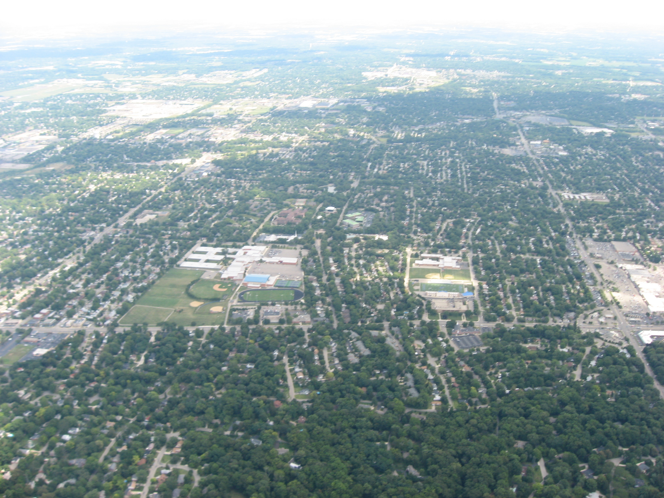
_02.jpg)
Museums
- Dayton Art Institute (Dayton)
- Boonshoft Museum of Discovery (Dayton)
- America's Packard Museum (Dayton)
- National Museum of the United States Air Force (Riverside)
Theaters
In addition to the Benjamin and Marian Schuster Performing Arts Center, the Dayton Region's largest performing arts center, Greater Dayton has a vibrant theater community throughout the region.
- La Comedia Dinner Theatre (Springboro)
- Loft Theatre (Dayton)
- Town Hall Theatre (Centerville)
- Victoria Theatre (Dayton)
Theatrical companies
- Dayton Ballet
- Dayton Contemporary Dance Company
- Dayton Opera
- Victoria Theatre Association
Music
- Dayton Philharmonic Orchestra
References
References
- "Total Gross Domestic Product for Dayton, OH (MSA)". [[Federal Reserve Bank of St. Louis]].
- (March 11, 2007). "Cinci-Dayton?". Cincinnati Enquirer.
- [http://cincinnati.bizjournals.com/cincinnati/stories/1998/11/09/story3.html Ready for `Daytonnati?' It could happen]
- "Census Of Population 1990-2000". U.S. Census Bureau.
- "Census Of Population 2010 with 2011 estimate". U.S. Census Bureau.
- "Cumulative Estimates of Resident Population Change and Rankings for Metropolitan Statistical Areas in the United States and Puerto Rico: April 1, 2010 to July 1, 2019". [[United States Census Bureau]].
- "U.S. Census FactFinder populations". U.S. Census Bureau.
- "U.S. Census FactFinder incomes". U.S. Census Bureau.
- "Springfield separates from Dayton MSA". Dayton Business Journal.
- (June 25, 2009}}{{Dead link). "Dayton Economy Employers and Employees".
- [http://schustercenter.org/ Benjamin & Marian Schuster Performing Arts Center]
- [http://victoriatheatre.com/ Victoria Theatre Association – Broadway in Dayton]
- [http://townhalltheatre.org/ Washington Township]
- "Dayton Ballet".
- [http://dcdc.org/ DCDC – Dayton Contemporary Dance Company]
This article was imported from Wikipedia and is available under the Creative Commons Attribution-ShareAlike 4.0 License. Content has been adapted to SurfDoc format. Original contributors can be found on the article history page.
Ask Mako anything about Dayton metropolitan area — get instant answers, deeper analysis, and related topics.
Research with MakoFree with your Surf account
Create a free account to save articles, ask Mako questions, and organize your research.
Sign up freeThis content may have been generated or modified by AI. CloudSurf Software LLC is not responsible for the accuracy, completeness, or reliability of AI-generated content. Always verify important information from primary sources.
Report