From Surf Wiki (app.surf) — the open knowledge base
Cranesville Historic District
Historic district in Massachusetts, United States
Historic district in Massachusetts, United States
| Field | Value |
|---|---|
| name | Cranesville Historic District |
| nrhp_type | hd |
| nocat | yes |
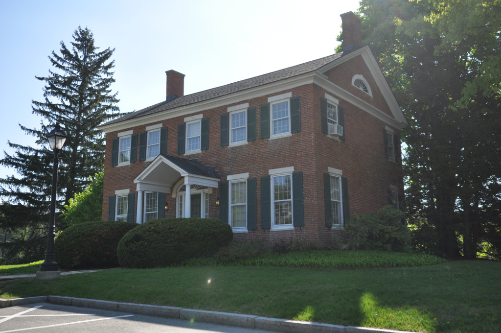
| image | Crane Museum, Dalton MA.jpg |
| caption | Crane Museum |
| location | North and south of Main St., west of Park Ave., Dalton, Massachusetts |
| coordinates | |
| locmapin | Massachusetts#USA |
| area | 154 acre |
| built | |
| architect | Bradley, Prentice; et al. |
| architecture | Early Republic, Mid 19th Century Revival |
| added | November 9, 2005 |
| refnum | 05001208 |
| <ref name | "nris" |
The Cranesville Historic District is a historic district in Dalton, Massachusetts, centered on the business and residential properties associated with the papermaker Crane and Company. The district, centered on Main Street west of the town civic center, was added to the National Register of Historic Places in 2005.
Description and history
Papermaking began as an industry in Dalton in the early 19th century, and was dominated by Zenas Crane's operations by the early 1820s. Crane and Company controlled numerous papermaking operations throughout the Berkshires, but it was headquartered in Dalton, where the Crane family lived. The family built several large estates on the north side of Main Street, notably Sugar Hill, the home of Winthrop Murray Crane, who oversaw the company's success in the late 19th century, and served as Governor of Massachusetts. The company's historic industrial facilities of Crane are located south of Main Street, although they are generally near the Housatonic River and screened from view. Prominent on the street in this area is the 1816 home of Zenas Crane, who founded the business in Dalton in the early 19th century. The most notable of the industrial facilities is the National Historic Landmark Crane and Company Old Stone Mill Rag Room, the oldest surviving building on the Crane premises.
Extending east along Main Street from the industrial complex are a number of late 19th century houses, most of which were built by or for executives of the Crane company. Southwest along South Street, extending along Crane and Porter Avenues on the south side of the river, are groups of company-built worker housing. These are primarily identical duplexes built in the 1910s and 1920s. Another cluster of worker housing lies north east of the Crane family estates off Park Avenue; this area also includes a series of modest Capes built by the Cranes for World War II veterans in the early 1950s.
References
References
- {{NRISref. 2008a
- "NRHP nomination for Cranesville Historic District". Commonwealth of Massachusetts.
This article was imported from Wikipedia and is available under the Creative Commons Attribution-ShareAlike 4.0 License. Content has been adapted to SurfDoc format. Original contributors can be found on the article history page.
Ask Mako anything about Cranesville Historic District — get instant answers, deeper analysis, and related topics.
Research with MakoFree with your Surf account
Create a free account to save articles, ask Mako questions, and organize your research.
Sign up freeThis content may have been generated or modified by AI. CloudSurf Software LLC is not responsible for the accuracy, completeness, or reliability of AI-generated content. Always verify important information from primary sources.
Report