From Surf Wiki (app.surf) — the open knowledge base
Colorado River (Texas)
River in Texas, United States
River in Texas, United States
| Field | Value |
|---|---|
| name | Colorado River |
| image | Mount Bonnell 2008.jpg |
| image_caption | Colorado River in Austin as seen from Mount Bonnell |
| image_size | 300 |
| map | ColoradoTexas Watershed.png |
| map_size | 300 |
| map_caption | Map of the Colorado River and associated watershed |
| pushpin_map_size | 300 |
| mapframe | yes |
| mapframe-zoom | 5 |
| mapframe-stroke-width | 2 |
| subdivision_type1 | Country |
| subdivision_name1 | United States |
| subdivision_type2 | State |
| subdivision_name2 | Texas |
| subdivision_type3 | Counties |
| subdivision_name3 | Dawson, Borden, |
| length | 862 mi |
| discharge1_location | Bay City |
| discharge1_min | 0 cuft/s |
| discharge1_avg | 2609 cuft/s |
| discharge1_max | 84100 cuft/s |
| source1_location | Dawson County |
| source1_coordinates | |
| source1_elevation | 2860 ft |
| mouth | Matagorda Bay |
| mouth_location | Gulf of Mexico, at Matagorda County |
| mouth_coordinates | |
| mouth_elevation | 0 ft |
| basin_size | 39900 sqmi |
| mapframe-zoom = 5 | mapframe-stroke-width = 2 The Colorado River is an approximately 862 mi river in the U.S. state of Texas. It is the 11th longest river in the United States and the longest river with both its source and its mouth within Texas.
Its drainage basin and some of its usually dry tributaries extend into New Mexico. It flows generally southeast from Dawson County through Ballinger, Marble Falls, Lago Vista, Austin, Bastrop, Smithville, La Grange, Columbus, Wharton, and Bay City, before emptying into the Gulf of Mexico at Matagorda Bay.
Course
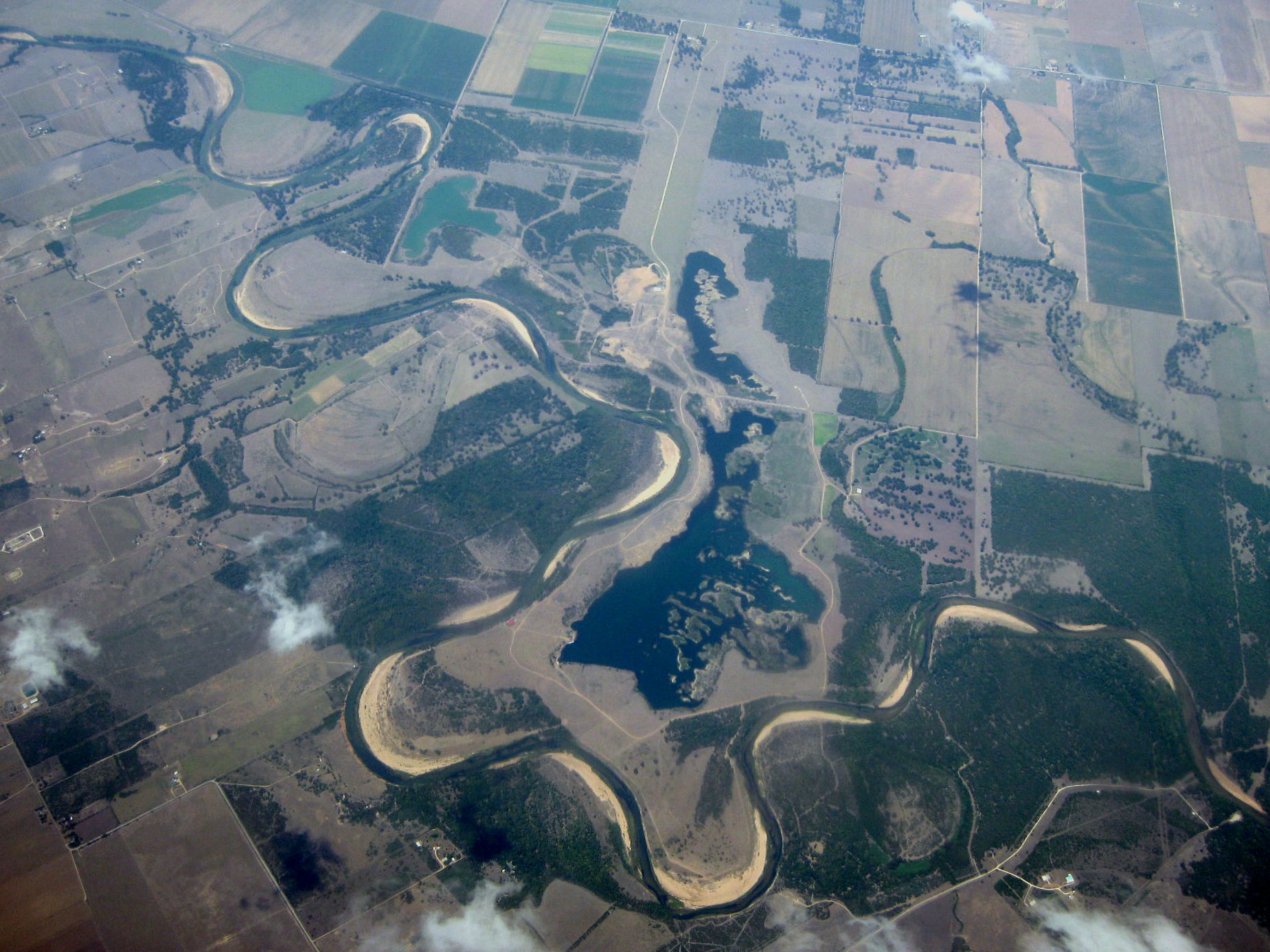
The Colorado River originates south of Lubbock, on the Llano Estacado near Lamesa. It flows generally southeast out of the Llano Estacado and through the Texas Hill Country, then through several reservoirs including Lake J.B. Thomas, E.V. Spence Reservoir, and O.H. Ivie Lake. The river flows through several more reservoirs before reaching Austin, including Lake Buchanan, Inks Lake, Lake Lyndon B. Johnson (commonly referred to as Lake LBJ), and Lake Travis. The Llano River joins the Colorado at Lake LBJ near Kingsland, and the Pedernales River joins at Lake Travis near Briarcliff. After passing through Austin, the Colorado River continues flowing southeast until emptying into Matagorda Bay on the Gulf of Mexico, near Matagorda.
History
The Colorado River, which means 'red' or 'reddish' river in Spanish, was frequently confused by Spanish explorers with the Brazos River to the north. The European discoverer of these two neighboring rivers called the present Colorado River the Brazos de Dios, and called the present Brazos the Colorado River. The two names would later be reversed.
The upper Colorado River was controlled by Comanches from the early 18th century to the late 19th century. In 1757, Spanish Texas attempted to establish an outlying Catholic mission (Mission Santa Cruz de San Sabá) on the San Saba River, near its confluence with the Colorado River. Nearly defenseless and viewed by the Comanche tribe as a territorial invasion, the mission was sacked in 1758 by about 2,000 Comanches and their allies. The Comanche were not effectively challenged on the upper Colorado River for nearly a century.
River modifications
The river is an important source of water for farming, cities, and electrical power production. Major man-made reservoirs on the river include Lake Buchanan, Inks Lake, Lake LBJ, Lake Marble Falls, Lake Travis, Lake Austin, Town Lake now called Lady Bird Lake in Austin. Collectively, these lakes are known as the Highland Lakes. In addition to power plants operating on each of the major lakes, waters of the Colorado are used for cooling the South Texas Nuclear Project near Bay City. The Colorado River Municipal Water District owns and operates three reservoirs upstream of the Highland Lakes: Lake J. B. Thomas near Snyder, E.V. Spence Reservoir near Robert Lee, and O.H. Ivie Lake near Ballinger.
Flood control and use of the Colorado River is managed by two agencies established by the Texas Legislature: the Upper Colorado River Authority and the Lower Colorado River Authority. There are 11 major reservoirs along the Colorado River.
Major tributaries
Main article: List of tributaries of the Colorado River (Texas)
The Colorado River is joined by five significant tributaries: the Concho River, Pecan Bayou, the Llano River, the San Saba River and the Pedernales River. Beals Creek is also a tributary fed by arroyos such as the Sulphur Springs Draw, the Johnson Draw, and the McKenzie, Seminole, Monument, Mustang, and Midland draws.
Gallery
File:PennybackerBridge.jpg|Pennybacker Bridge crossing the Lake Austin portion of the Colorado River File:Colorado River Borden County Texas 2011.jpg|The Colorado River 5 mi from its source along the Caprock Escarpment, the border of Dawson and Borden County. File:Colorado River of Texas IMG 0784.JPG|Colorado River under the Regency Suspension Bridge on the border of Mills and San Saba County File:Colorado River under bridge in Wharton, TX IMG 1056.JPG|Scenic view of Colorado River meandering under a bridge overpass under State Highway 60 in Wharton File:Scene on the Colorado River, Austin, Texas.jpg|Scene on the Colorado River, Austin, Texas (postcard, ) File:Eagle Lake TX Colorado River Marker.JPG|A historical marker on US 90A between Eagle Lake and Altair explains the difficulty of navigating the lower Colorado River in the 1800s. File:BullCreek.jpg|Old postcard of Bull Creek in Austin File:Colorado River at Columbus, TX IMG 8244.JPG|Colorado River east of Columbus, Texas File:Dazzling water textures and colors - near sculpture falls Austin green belt (TX, USA).jpg|Water reflections on sculpture falls
References
References
- {{Cite GNIS. 1384149. Colorado River
- ''Sand Creek, TX,'' 7.5 Minute Topographic Quadrangle, USGS, 1970 (1974 rev.)
- [[Google Earth]] elevation for [[Geographic Names Information System. GNIS]] coordinates.
- Clay, Comer. (1999-02-15). "Colorado River". The General Libraries at the [[University of Texas at Austin]] and the [[Texas State Historical Association]].
- Kammerer, J. C.. (1987). "Largest Rivers in the United States". [[United States Geological Survey]].
- (1999-02-15). "Colorado River". The General Libraries at the [[University of Texas at Austin]] and the [[Texas State Historical Association]].
- "Colorado - Diccionario Inglés-Español". WordReference.com.
- {{Cite AmCyc
- Hämäläinen, Pekka. (2008). "The Comanche Empire". [[Yale University Press]].
- (1996). "River Basin Map of Texas". Bureau of Economic Geology, [[University of Texas at Austin]].
- (2005-08-22). "Texas Rivers and Reservoirs". [[Texas Parks and Wildlife]].
- Rand McNally. "The Road Atlas: United States Large-Scale". [[Rand McNally and Company]].
This article was imported from Wikipedia and is available under the Creative Commons Attribution-ShareAlike 4.0 License. Content has been adapted to SurfDoc format. Original contributors can be found on the article history page.
Ask Mako anything about Colorado River (Texas) — get instant answers, deeper analysis, and related topics.
Research with MakoFree with your Surf account
Create a free account to save articles, ask Mako questions, and organize your research.
Sign up freeThis content may have been generated or modified by AI. CloudSurf Software LLC is not responsible for the accuracy, completeness, or reliability of AI-generated content. Always verify important information from primary sources.
Report