From Surf Wiki (app.surf) — the open knowledge base
Col Bayard
Mountain pass in Hautes-Alpes, France
Mountain pass in Hautes-Alpes, France
| Field | Value |
|---|---|
| name | Col Bayard |
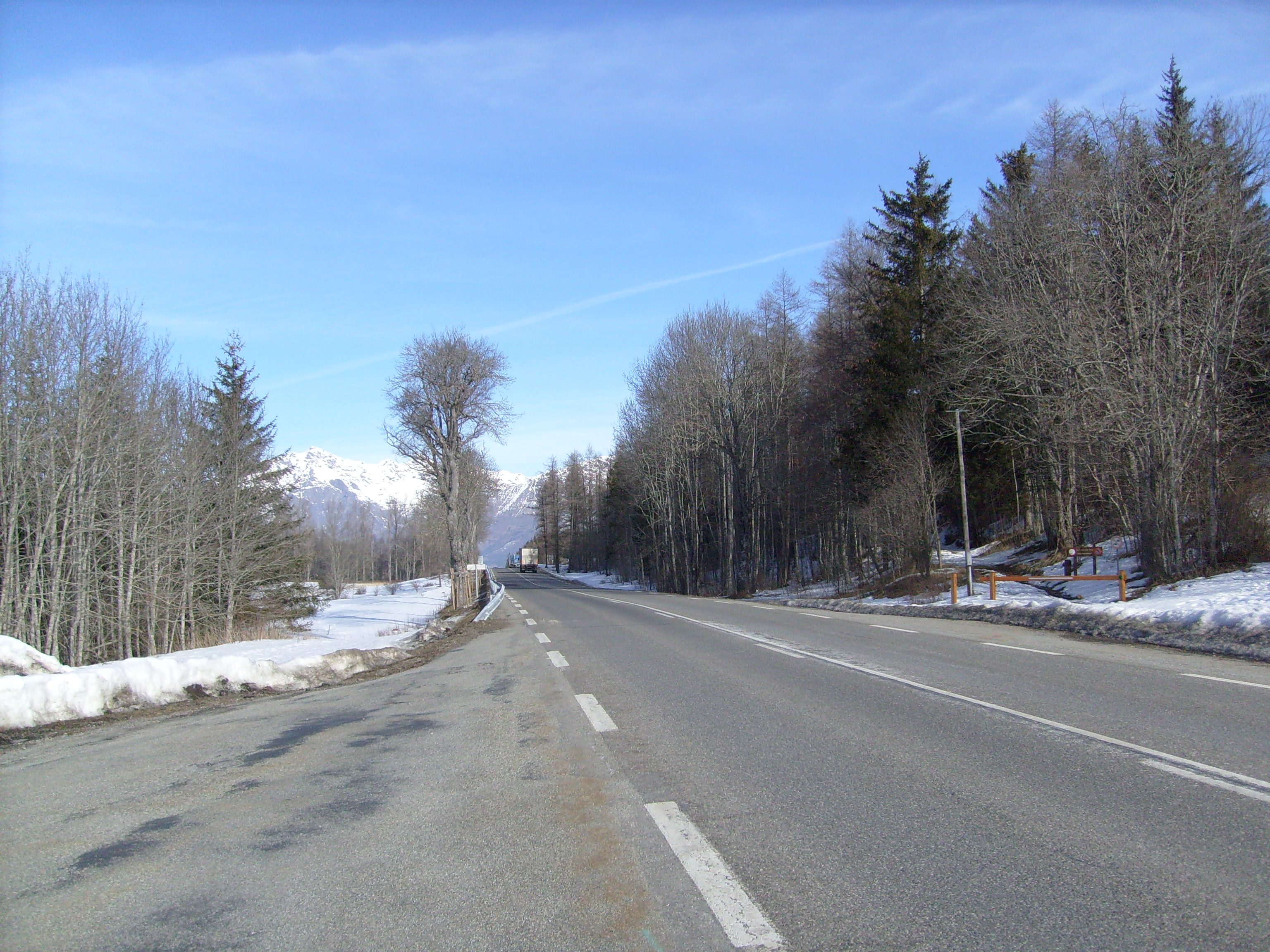
| photo | Gap003.JPG |
| photo_caption | col Bayard looking towards Gap |
| elevation_m | 1246 |
| map | Alps |
| map_caption | Location of Col Bayard |
| label | Col Bayard |
| coords | |
| location | Hautes-Alpes, France |
| range | Dauphiné Alps / Massif des Écrins |
Col Bayard (1,246 m) is a mountain pass through the Dauphiné Alps in the department of Hautes-Alpes in France.
It connects the communities of La Mure and Gap.
References
This article was imported from Wikipedia and is available under the Creative Commons Attribution-ShareAlike 4.0 License. Content has been adapted to SurfDoc format. Original contributors can be found on the article history page.
Ask Mako anything about Col Bayard — get instant answers, deeper analysis, and related topics.
Research with MakoFree with your Surf account
Create a free account to save articles, ask Mako questions, and organize your research.
Sign up freeThis content may have been generated or modified by AI. CloudSurf Software LLC is not responsible for the accuracy, completeness, or reliability of AI-generated content. Always verify important information from primary sources.
Report