From Surf Wiki (app.surf) — the open knowledge base
Cohocton (village), New York
| Field | Value |
|---|---|
| name | Cohocton |
| settlement_type | Village |
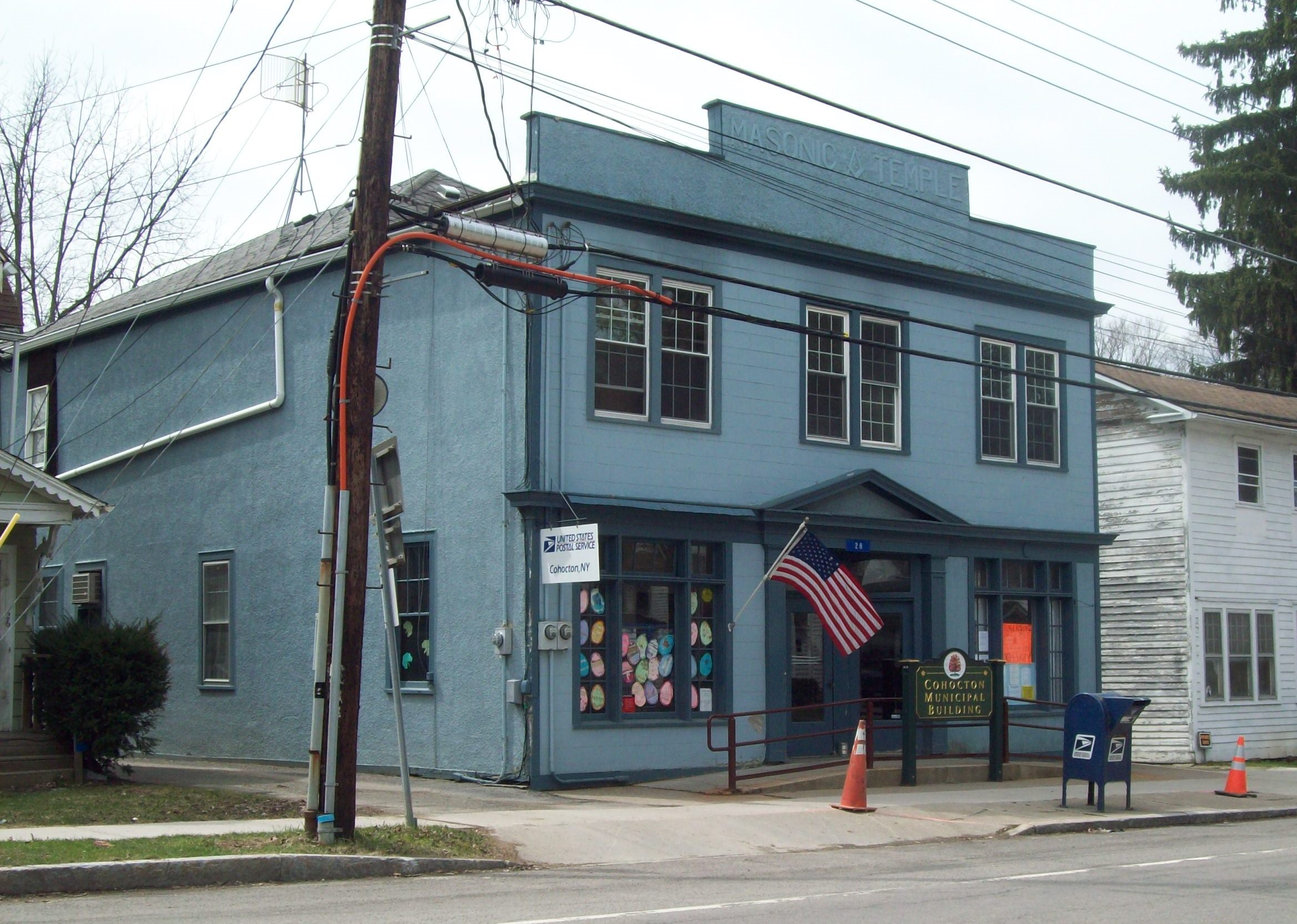
| image_skyline | Downtown Cohocton, NY.jpg |
| imagesize | 300px |
| image_caption | Downtown Cohocton |
| pushpin_map | New York |
| pushpin_label | Cohocton |
| pushpin_label_position | |
| pushpin_map_caption | Location within the state of New York |
| coordinates | |
| subdivision_type | Country |
| subdivision_name | United States |
| subdivision_type1 | State |
| subdivision_name1 | New York |
| subdivision_name2 | Southern Tier |
| subdivision_type3 | County |
| subdivision_name3 | Steuben |
| established_title | Founded |
| government_type | Town and Village Hall |
| leader_title | Mayor |
| leader_name | Janice Sahrle |
| unit_pref | Imperial |
| area_footnotes | |
| area_total_km2 | 3.89 |
| area_total_sq_mi | 1.50 |
| area_land_km2 | 3.89 |
| area_land_sq_mi | 1.50 |
| area_water_km2 | 0.00 |
| area_water_sq_mi | 0.00 |
| elevation_ft | 1340 |
| elevation_max_ft | 1760 |
| elevation_max_point | N boundary |
| elevation_min_ft | 1260 |
| elevation_min_point | Cohocton River at S boundary |
| population_as_of | 2020 |
| population_total | 703 |
| population_density_km2 | 180.78 |
| population_density_sq_mi | 468.35 |
| timezone1 | EST |
| utc_offset1 | -5 |
| timezone1_DST | EDT |
| utc_offset1_DST | -4 |
| postal_code_type | ZIP Code |
| postal_code | 14826 |
| area_code | 585 |
| blank_name_sec2 | FIPS code |
| blank_info_sec2 | 36-16727 |
| blank1_name_sec2 | GNIS feature ID |
| blank1_info_sec2 | 0947007 |
| blank2_name_sec2 | Wikimedia Commons |
| blank2_info_sec2 | Cohocton, New York |
| website | https://www.villageofcohocton.com/ |
Cohocton is a village in Steuben County, New York, United States. The population was 838 at the 2010 census. The name is derived from an Iroquois phrase for "log in the water."
The Village of Cohocton is in the southeast part of the Town of Cohocton, and is northwest of Bath, New York.
History
The village was once known as "Liberty," but changed its name to Cohocton when it was incorporated as a village in 1891. The Larrowe House, formerly occupied as The Cohocton Town and Village Hall, was listed on the National Register of Historic Places in 1989. The Cohocton Historical Society acquired the house in August 2009.
Geography
Cohocton is located at (42.498705, -77.499208).
According to the United States Census Bureau, the village has a total area of 1.5 square miles (3.9 km2), all land.
The village is next to Interstate 390. New York State Route 371, New York State Route 415, and County Road 121 lead into the village.
Cohocton is on the Gang Mills (Painted Post) to Wayland Line of the B&H Rail Corp. The B&H also has a spur which serves an industrial district on the east side of the Conhocton River. The B&H's office and shops are located adjacent to the Gang Mills-Wayland line.
The Conhocton River flows southward through the village.
Demographics
As of the census of 2000, there were 854 people, 316 households, and 224 families residing in the village. The population density was 568.2 PD/sqmi. There were 349 housing units at an average density of 232.2 /sqmi. The racial makeup of the village was 98.48% White, 1.17% Native American, and 0.35% from two or more races. Hispanic or Latino of any race were 0.12% of the population.
There were 316 households, out of which 38.6% had children under the age of 18 living with them, 49.1% were married couples living together, 13.6% had a female householder with no husband present, and 29.1% were non-families. 24.1% of all households were made up of individuals, and 11.7% had someone living alone who was 65 years of age or older. The average household size was 2.68 and the average family size was 3.08.
In the village, the population was spread out, with 30.7% under the age of 18, 7.5% from 18 to 24, 27.8% from 25 to 44, 20.7% from 45 to 64, and 13.3% who were 65 years of age or older. The median age was 35 years. For every 100 females, there were 99.1 males. For every 100 females age 18 and over, there were 92.2 males.
The median income for a household in the village was $35,147, and the median income for a family was $38,438. Males had a median income of $30,057 versus $22,321 for females. The per capita income for the village was $13,660. About 13.5% of families and 15.3% of the population were below the poverty line, including 18.8% of those under age 18 and 9.6% of those age 65 or over.
References
References
- "ArcGIS REST Services Directory". United States Census Bureau.
- {{NRISref. 2009a
- (February 12, 2011). "US Gazetteer files: 2010, 2000, and 1990". [[United States Census Bureau]].
- "Census of Population and Housing". Census.gov.
- "U.S. Census website". [[United States Census Bureau]].
This article was imported from Wikipedia and is available under the Creative Commons Attribution-ShareAlike 4.0 License. Content has been adapted to SurfDoc format. Original contributors can be found on the article history page.
Ask Mako anything about Cohocton (village), New York — get instant answers, deeper analysis, and related topics.
Research with MakoFree with your Surf account
Create a free account to save articles, ask Mako questions, and organize your research.
Sign up freeThis content may have been generated or modified by AI. CloudSurf Software LLC is not responsible for the accuracy, completeness, or reliability of AI-generated content. Always verify important information from primary sources.
Report