From Surf Wiki (app.surf) — the open knowledge base
Chassahowitzka River
River in Florida, United States
River in Florida, United States
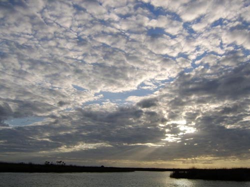
The Chassahowitzka River (, ) is a spring-fed river located in southwestern Citrus County, Florida. The 5 mi river is home to hundreds of bird species, including the bald eagle, and serves as a common refuge for the West Indian manatee. In 1941, approximately 31000 acre of its saltwater creeks, freshwater tributaries, and hardwood hammocks were designated as Chassahowitzka National Wildlife Refuge. The river is accessible by boat from a nearby public boat ramp located at a campground that also bears its Indian name which means "land of hanging pumpkins"—a reference to a wild variety that once grew along its banks.
The headwater of the river is Chassahowitzka Spring, a first-magnitude spring visible from the campground dock. A group of smaller sister springs are located in a creek just upstream from the main vent. Several of these sister springs are interconnected via underwater caves that snorkelers can dive through while holding their breath. However, great care must be taken when diving through these caves, as there have been at least 4 drownings in the underwater tunnels and caves since 1989, the most recent occurring in 2011.
Further downstream, similar freshwater tributaries feed into the Chassahowitzka River, some of which mix with salt water as the river weaves its way toward the Gulf. This creates brackish creeks and bays, where it is quite common to catch fish species such as spotted seatrout, redfish, or common snook to name just a few. Other river staples river include striped mullet, which can be seen in schools through the clear water or at times leaping out of the water, and the blue crab which is often netted or trapped by local fishermen. It is very common to see several species of herons and egrets, including the great blue heron as well as the occasional large alligator, although they are often seen some distance from springs and boats. The river is well known for its navigational hazards, mainly due to large rocks hidden from the sight of fast-moving motorboats that venture outside the narrow channel.
There are cabins dotted along the outer portion of the river just before "Buzzard Bay," that are privately owned. Dog Island is a recreational area with a restroom and dock, located off the main channel just before John's Island and the Gulf.
Gallery
File:Chassahowitzka River 0001.jpg File:Chassahowitzka River 0002.jpg File:Chassahowitzka River.jpg|A friendly grackle, on the way to Buzzard Bay File:Chassahowitzka River 02.jpg|Dog Island Recreational Area File:Chassahowitzka River 04.jpg|A view from Tom's Cabin showing a neighboring cabin File:Chassahowitzka River 05.jpg|Sunfish and pilchards inhabiting Beard Creek, a location now well known to weekend canoers, but at one time was less traveled File:Chassahowitzka River 06.jpg|A striped mullet caught by cast netting on the river File:Chassahowitzka River 07.jpg|Manatee speed zones run from the mouth of Buzzard Bay until John's Island during the summer File:Chassahowitzka River 08.jpg|Local boys being pulled behind a well boat near "Baldies" File:Chassahowitzka River 0003.jpg File:Chassahowitzka River 0004.jpg
References
References
- U.S. Geological Survey. National Hydrography Dataset high-resolution flowline data. [http://viewer.nationalmap.gov/viewer/ The National Map] {{webarchive. link. (2012-03-29 , accessed April 18, 2011)
- ''[http://www.swfwmd.state.fl.us/education/interactive/springscoast/3.shtml Chassahowitzka River]'' Southwest Florida Water Management District. Retrieved on 2010-10-08.
This article was imported from Wikipedia and is available under the Creative Commons Attribution-ShareAlike 4.0 License. Content has been adapted to SurfDoc format. Original contributors can be found on the article history page.
Ask Mako anything about Chassahowitzka River — get instant answers, deeper analysis, and related topics.
Research with MakoFree with your Surf account
Create a free account to save articles, ask Mako questions, and organize your research.
Sign up freeThis content may have been generated or modified by AI. CloudSurf Software LLC is not responsible for the accuracy, completeness, or reliability of AI-generated content. Always verify important information from primary sources.
Report