From Surf Wiki (app.surf) — the open knowledge base
Chandler, Arizona
City in Arizona, United States

City in Arizona, United States
| Field | Value |
|---|---|
| name | Chandler, Arizona |
| settlement_type | City |
| image_skyline | Neighborhoods in the City of Chandler.jpg |
| image_caption | Aerial view of Chandler |
| image_seal | Chandleraz seal.png |
| image_map | File:Maricopa County Arizona Incorporated and Unincorporated areas Chandler Highlighted 0412000.svg |
| map_caption | Location in Maricopa County, Arizona |
| pushpin_map | Arizona#USA |
| pushpin_label | Chandler |
| pushpin_map_caption | Location in Arizona##Location in the contiguous United States |
| coordinates | |
| subdivision_type | Country |
| subdivision_name | United States |
| subdivision_type1 | State |
| subdivision_type2 | County |
| subdivision_name1 | Arizona |
| subdivision_name2 | Maricopa |
| established_title | Founded |
| established_date | May 17, 1912 |
| established_title2 | Incorporated |
| government_type | Council-Manager |
| leader_title | Mayor |
| leader_name | Kevin Hartke |
| unit_pref | Imperial |
| area_footnotes | |
| area_total_km2 | 169.77 |
| area_total_sq_mi | 65.55 |
| area_land_km2 | 169.58 |
| area_land_sq_mi | 65.48 |
| area_water_km2 | 0.18 |
| area_water_sq_mi | 0.07 |
| elevation_m | 370 |
| elevation_footnotes | |
| elevation_ft | 1211 |
| population_total | 275987 |
| population_as_of | 2020 |
| population_footnotes | |
| population_density_km2 | 1,627.45 |
| population_density_sq_mi | 4,226.4 |
| population_est | 280,711 |
| pop_est_as_of | 2022 |
| pop_est_footnotes | |
| population_metro | 4,948,203 |
| population_rank | US: 79th |
| population_blank1_title | Demonym |
| population_blank1 | Chandlerite |
| postal_code_type | ZIP Codes |
| postal_code | 85224-85226, 85244, 85246, 85248-85249, 85286 |
| area_code | 480 |
| website | |
| timezone | MST (no DST) |
| utc_offset | −7 |
| blank_name | FIPS code |
| blank_info | 04-12000 |
| blank1_name | GNIS feature ID |
| blank1_info | 2409433 |
| seal_size | 75px |
| flag_size | 125px |
AZ: 4th
Chandler is a city in Maricopa County, Arizona, United States, and a suburb in the Phoenix-Mesa-Chandler Metropolitan Statistical Area. It is the fourth-most populous city in Arizona, after Mesa, Tucson, and Phoenix. Chandler is considered to be a part of the East Valley.
As of the 2020 census, the population of Chandler was 275,987, up from 236,123 at the 2010 census. Chandler is a commercial and tech hub for corporations like Intel, Northrop Grumman, Wells Fargo, PayPal and Boeing.
History
In 1891, Dr. Alexander John Chandler, a Canadian and the first veterinary surgeon in the Arizona Territory, settled on a ranch south of Mesa and studied irrigation engineering. By 1900, he had acquired 18000 acre of land and began drawing up plans for a town-site on what was then known as the Chandler Ranch. The town-site office opened on May 16, 1912.
The original town-site was bounded by Galveston Street to the north, Frye Road to the south, Hartford Street to the west, and Hamilton Street to the east. By 1913, a town center was established, featuring the Hotel San Marcos, which also had the first grass golf course in the state. Chandler High School was established in 1914. Chandler was officially incorporated on February 16, 1920, after 186 residents petitioned the Maricopa County Board of Supervisors to approve incorporation.
Most of Chandler's economy was sustained during the Great Depression (though the Depression was to blame for the cancellation of a second San Marcos hotel), but the cotton crash a few years later had a much deeper impact on the city's residents. A. J. Chandler lost his San Marcos hotel to creditors as a result. Later, the founding of Williams Air Force Base in 1941 led to a small surge in population, but Chandler still only held 3,800 people by 1950.
By 1980, the population had grown to 30,000, and it has since paced the Phoenix metropolitan area's high rate of growth, with suburban residential areas and commercial use areas swallowing former agricultural plots. The population has nearly doubled in the last twenty years. Some of this growth was fueled by the establishment of manufacturing plants for communications and computing firms such as Microchip, Motorola and Intel.
Geography
According to the 2020 census, Chandler has a total area of 65.55 sqmi, of which 0.07 sqmi, or 0.11%, are listed as water. The center of the city, along Arizona State Route 87, is 22 mi southeast of Downtown Phoenix.
Chandler is in proximity to/borders the San-Tan mountain range. The San-Tan mountains are in the jurisdiction of the Gila River Indian Community.
Chandler is divided into three parts: North Chandler, West Chandler and South Chandler, each being divided by the Loop 202 (Santan Freeway) and Loop 101 (Price Freeway).
Climate
|Jan record high F = 89 |Feb record high F = 95 |Mar record high F = 99 |Apr record high F = 106 |May record high F = 118 |Jun record high F = 116 |Jul record high F = 119 |Aug record high F = 115 |Sep record high F = 113 |Oct record high F = 107 |Nov record high F = 97 |Dec record high F = 86 |year record high F =119
|Jan record low F = 15 |Feb record low F = 19 |Mar record low F = 24 |Apr record low F = 30 |May record low F = 37 |Jun record low F = 43 |Jul record low F = 54 |Aug record low F = 51 |Sep record low F = 40 |Oct record low F = 30 |Nov record low F = 22 |Dec record low F = 17 |year record low F =15
Demographics
| align-fn = center
2020 census
| Race / Ethnicity (NH = Non-Hispanic) | title=P004 Hispanic or Latino, and Not Hispanic or Latino by Race – 2000: DEC Summary File 1 – Chandler city, Arizona | url=https://data.census.gov/table/DECENNIALSF12000.P004?g=160XX00US0412000 | website=United States Census Bureau}} | title=P2 Hispanic or Latino, and Not Hispanic or Latino by Race – 2010: DEC Redistricting Data (PL 94-171) – Chandler city, Arizona | url=https://data.census.gov/table?g=160XX00US0412000&tid=DECENNIALPL2010.P2 | website=United States Census Bureau}} | % 2000 | % 2010 |
|---|---|---|---|---|---|---|---|---|
| White alone (NH) | 121,168 | 145,724 | 147,119 | 68.62% | ||||
| Black or African American alone (NH) | 5,821 | 10,580 | 15,564 | 3.30% | ||||
| Native American or Alaska Native alone (NH) | 1,628 | 2,715 | 3,850 | 0.92% | ||||
| Asian alone (NH) | 7,345 | 19,119 | 32,710 | 4.16% | ||||
| Pacific Islander alone (NH) | 222 | 365 | 571 | 0.13% | ||||
| Some Other Race alone (NH) | 301 | 369 | 1,237 | 0.17% | ||||
| Mixed Race or Multi-Racial (NH) | 3,037 | 5,443 | 12,679 | 1.72% | ||||
| Hispanic or Latino (any race) | 37,059 | 51,808 | 62,257 | 20.99% | ||||
| Total | 176,581 | 236,123 | 275,987 | 100.00% |
American Community Survey estimates, there were people and households. The population density was 4276.2 PD/sqmi. There were housing units at an average density of 1722.9 /sqmi.
Of the households, 34.4% had children under the age of 18 living with them, 24.2% had seniors 65 years or older living with them, 50.7% were married couples living together, 7.4% were couples cohabitating, 18.3% had a male householder with no partner present, and 23.6% had a female householder with no partner present. The median household size was and the median family size was .
The age distribution was 23.8% under 18, 8.9% from 18 to 24, 27.9% from 25 to 44, 26.4% from 45 to 64, and 13.0% who were 65 or older. The median age was years. For every 100 females, there were males.
The median income for a household was $, with family households having a median income of $ and non-family households $. The per capita income was $. Out of the people with a determined poverty status, 7.6% were below the poverty line. Further, 9.3% of minors and 7.6% of seniors were below the poverty line.
In the survey, residents self-identified with various ethnic ancestries. People of German descent made up 13.0% of the population of the city, followed by Irish at 10.1%, English at 8.5%, American at 5.7%, Italian at 4.5%, Polish at 1.9%, Scottish at 1.7%, French at 1.6%, Arab at 1.5%, Sub-Saharan African at 1.5%, Norwegian at 1.2%, Dutch at 1.1%, Swedish at 1.0%, French Canadian at 0.6%, Russian at 0.6%, Scotch-Irish at 0.5%, and Greek at 0.5%.
Economy
Computer chip manufacturer Intel has two locations in Chandler. Other high-technology manufacturing firms have partnerships with Chandler, | access-date = June 2, 2006 | archive-url = https://web.archive.org/web/20040705225342/http://www.bizjournals.com/phoenix/stories/2004/01/05/story1.html | archive-date = July 5, 2004 | url-status = live their operations employing approximately 25% of non-government workers in 2007.
Since 2003, more than 2,900 jobs and investments totalling $3 billion have been created along the Price and Santan freeways, in the Price Road Corridor. The 1300000 sqft Chandler Fashion Center, opened in 2001.
Companies headquartered in Chandler include Keap, Microchip, and Rogers. Bashas' headquarters is in a county island surrounded by Chandler.
Top employers
According to the City of Chandler Economic Development Division, leading employers in the city are:
| # | Employer | # of Employees |
|---|---|---|
| 1 | Intel | 12,000 |
| 2 | Wells Fargo | 5,500 |
| 3 | Chandler Unified School District | 4,900 |
| 4 | Bank of America | 3,600 |
| 5 | Chandler Regional Medical Center / Dignity Health | 2,500 |
| 6 | Northrop Grumman | 2,150 |
| 7 | Chandler–Gilbert Community College | 1,900 |
| 8 | City of Chandler | 1,800 |
| 9 | Microchip Technology (HQ) | 1,700 |
| 10 | NXP Semiconductors | 1,700 |
| 11 | PayPal | 1,500 |
| 12 | Insight Enterprises | 1,400 |
| 13 | Microchip Technology | 1,500 |
| 14 | Verizon | 1,400 |
| 15 | Bashas' (HQ and Distribution Center) | 1,100 |
Arts and culture
Chandler holds an annual Ostrich Festival at Tumbleweed Park to commemorate when ostrich farms in the area produced plumes for women's hats during the 1910s.
Chandler also holds an annual ceremony to light a tree made from tumbleweeds; a ceremony founded in 1957 when Chandler sought an alternative way to decorate the city during the Christmas holidays.
Venues, galleries and museums include:
- Chandler Center for the Arts, a 1,500-seat regional performing arts venue, which is shared by the City of Chandler and the Chandler Unified School District.
- The Vision Gallery, a fine arts gallery featuring regional artists.
- The Arizona Railway Museum, located at Tumbleweed Park.
- The Chandler Museum, located near Chandler Fashion Center.
Several sites in Chandler are listed on the National Register of Historic Places, including the McCullough–Price House and the San Marcos Hotel.
The Chandler Public Library serves Chandler and the greater East Valley. The main library is in Downtown Chandler, with three branches elsewhere in the city: Sunset, Basha (shared with Basha High School), and Hamilton (shared with Hamilton High School).
Parks and recreation

Tumbleweed Park hosts the annual Ostrich Festival, the Fourth of July Fireworks Festival and the annual Day of Play. It features a recreational center with equipment suited for fitness.
Hamilton Aquatic Center is a shared-use aquatic facility, located within Hamilton High School's campus.
Nozomi Aquatic Center is a shared-use aquatic facility which includes a 25 yard, 8-lane competition pool.
Veterans Oasis Park is located at the city's highest point, at 1311 ft. It includes a nature center, a fishing lake, wildlife preserve and designated horse and walking trails.
Government
City government
Chandler is represented by a mayor, a vice mayor and five city council members. The vice mayor is elected by the city council from among its members. The mayor, vice mayor and council members represent the entire city and are not elected from districts or wards.
Kevin Hartke, a Republican, was elected to his second term as mayor in 2023.
Federal representation

State representation
Chandler's western "leg" and a small, narrow portion of the adjacent northern part of the city are within Arizona's 18th Legislative District, served by Representatives Denise Epstein and Nancy Gutierrez, and Senator Priya Sundareshan, all Democrats. The rest of the city is in Arizona's 17th Legislative District, served by Representatives Julie Willoughby and Jeff Weninger, and Senator J. D. Mesnard (all Republicans).
Education
Elementary and secondary

Chandler is served by the Chandler Unified School District, Kyrene School District, Tempe Union High School District, Mesa Public Schools, and Gilbert Public Schools. Catholic and charter schools include Basis Schools and Seton Catholic Preparatory.
Post-secondary
Post-secondary educational institutions located in Chandler include: The University of Arizona Chandler, International Baptist College, and the two-year Chandler-Gilbert Community College, which serves 13,000 students.
Infrastructure
Transportation
Airports
Chandler Municipal Airport is a two-runway general aviation facility. Stellar Airpark is a privately owned municipal airport open to the public.
Freeways and highways
Main article: Metropolitan Phoenix Freeways
- Loop 202, the Santan Freeway, which divides North and South Chandler.
- Loop 101, the Price Freeway, which was fully completed in 2001.
- Interstate 10, which runs through the city's westernmost border.
Railroads
Chandler is served by two single-track branch lines of the Union Pacific Railroad.
Healthcare
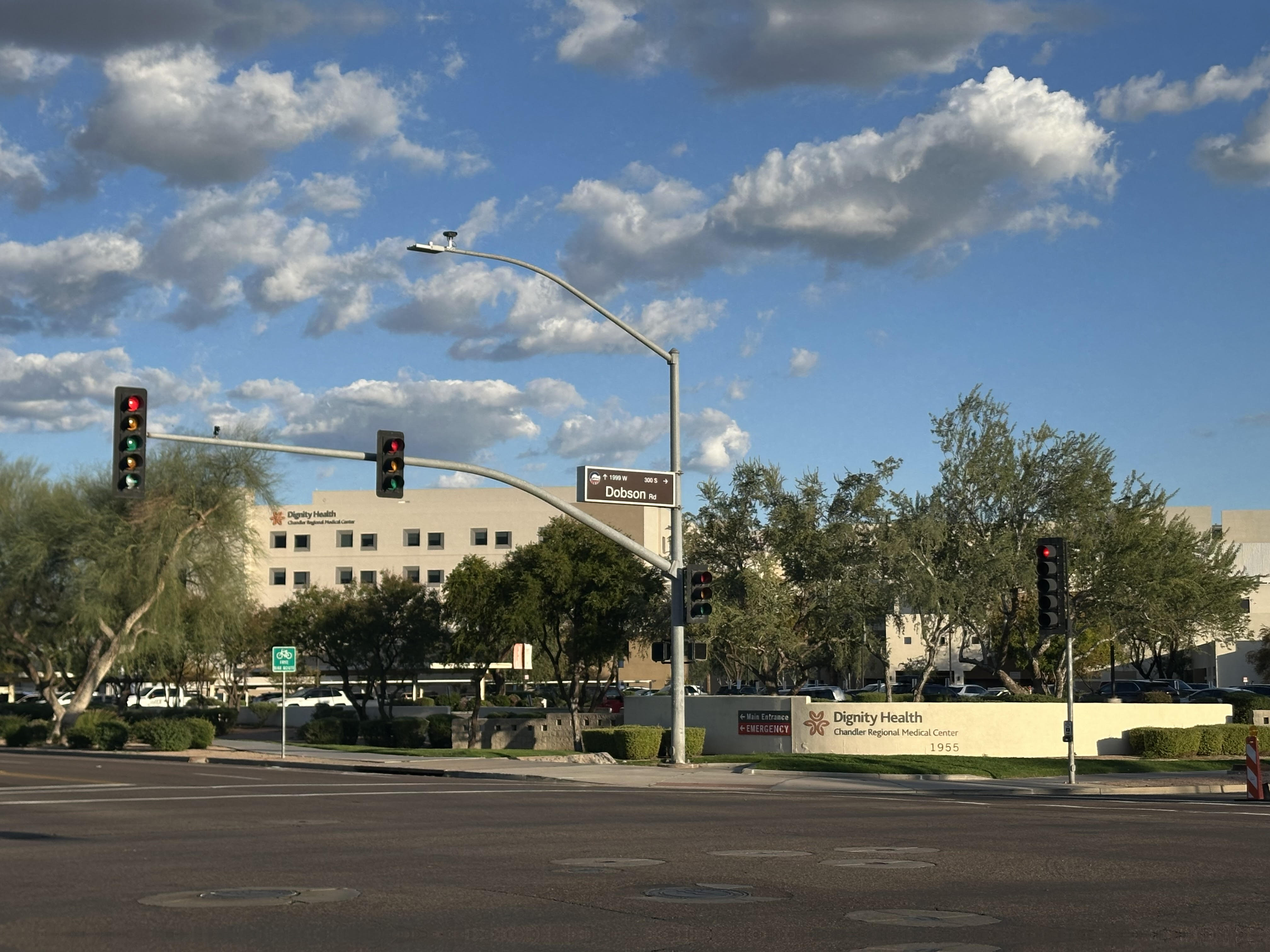
Hospitals in Chandler include Chandler Regional Medical Center, and Banner Ocotillo Medical Center.
Valleywise Health maintains the Valleywise Health Community Health Center in Chandler.
Notable people
Main article: List of people from Chandler, Arizona
Sister cities
Chandler has two sister cities:
- Ireland Tullamore, County Offaly, Ireland
- Taiwan Tainan, Taiwan
References
References
- (March 21, 2018). "Chandler Mayor and Council {{!}} City of Chandler".
- "U.S. Census Bureau QuickFacts: Chandler city, Arizona".
- {{GNIS. 2409433
- Data Access and Dissemination Systems (DADS). "American FactFinder – Results". census.gov.
- "Driving Chandler's Streets". maricopa.edu.
- "Chandler History, Visitor Info & Photos {{!}} About Chandler AZ".
- "U.S. Census Bureau QuickFacts".
- "Census of Population and Housing". Census.gov.
- "P004 Hispanic or Latino, and Not Hispanic or Latino by Race – 2000: DEC Summary File 1 – Chandler city, Arizona".
- "P2 Hispanic or Latino, and Not Hispanic or Latino by Race – 2010: DEC Redistricting Data (PL 94-171) – Chandler city, Arizona".
- "P2 Hispanic or Latino, and Not Hispanic or Latino by Race – 2020: DEC Redistricting Data (PL 94-171) – Chandler city, Arizona".
- "2022 American Community Survey 1 Year Estimate: Selected Social Characteristics in the United States for Chandler city, AZ". [[United States Census Bureau]].
- "2022 American Community Survey 1 Year Estimate: Demographic and Housing Estimates for Chandler city, AZ". [[United States Census Bureau]].
- "The 2023 U.S. Gazetteer Files".
- "2022 American Community Survey 1 Year Estimate: Housing Units for Chandler city, AZ". [[United States Census Bureau]].
- "Arizona's Asian Communities Are Coming Together in 'Unprecedented' Rallies to Protest Recent Hate Crimes".
- "2022 American Community Survey 1 Year Estimate: Age and Sex for Chandler city, AZ". [[United States Census Bureau]].
- "2022 American Community Survey 1 Year Estimate: Income in the Past 12 Months (in 2022 Inflation-Adjusted Dollars) for Chandler city, AZ". [[United States Census Bureau]].
- "2022 American Community Survey 1 Year Estimate: Mean Income in the Past 12 Months (in 2022 Inflation-Adjusted Dollars) for Chandler city, AZ". [[United States Census Bureau]].
- "2022 American Community Survey 1 Year Estimate: Poverty Status in the Past 12 Months for Chandler city, AZ". [[United States Census Bureau]].
- "Economy of Chandler: January 2008". azcommerce.com.
- "City of Chandler Leading Employer List Jan 2024".
- "Shake a tail feather, get out to Ostrich Festival". azcentral.com.
- (November 22, 2022). "Where Did Chandler Get Its Tumbleweed Tree?".
- "Vision Gallery". visiongallery.org/.
- (2018-03-27). "Chandler Museum".
- "National Register of Historical Places – ARIZONA (AZ), Maricopa County". nationalregisterofhistoricplaces.com.
- (March 30, 2018). "Tumbleweed Recreation Center".
- (January 28, 2020). "Hamilton Aquatic Center".
- (January 28, 2020). "Nozomi Aquatic Center".
- "Chandler Veterans Oasis Park Map".
- (February 4, 2020). "Veterans Oasis Park".
- (March 21, 2018). "Mayor and Council".
- "Chandler". The University of Arizona Chandler.
- Paterik, Stephanie. (May 26, 2005). "Price Corridor ripe for development". Arizona Business Gazette.
- "Chandler Regional Medical Center".
- "Banner Ocotillo Medical Center".
- "Locations". Valleywise Health.
- "Interactive City Directory". Sister-cities.org.
- "Sister Partnerships by US State – Asia Matters for America".
This article was imported from Wikipedia and is available under the Creative Commons Attribution-ShareAlike 4.0 License. Content has been adapted to SurfDoc format. Original contributors can be found on the article history page.
Ask Mako anything about Chandler, Arizona — get instant answers, deeper analysis, and related topics.
Research with MakoFree with your Surf account
Create a free account to save articles, ask Mako questions, and organize your research.
Sign up freeThis content may have been generated or modified by AI. CloudSurf Software LLC is not responsible for the accuracy, completeness, or reliability of AI-generated content. Always verify important information from primary sources.
Report