From Surf Wiki (app.surf) — the open knowledge base
Central California
| Field | Value |
|---|---|
| name | Central California |
| settlement_type | Region of California |
| image_skyline | Pumpjacks, San Joaquin Valley, California.jpg |
| image_caption | San Joaquin Valley, California |
| etymology | |
| subdivision_type | Country |
| subdivision_name | United States |
| subdivision_type1 | State |
| subdivision_name1 | California |
| subdivision_type2 | Region |
| subdivision_name2 | Central California |
| subdivision_name4 | |
| coordinates_footnotes | |
| established_date | |
| area_water_sq_mi | |
| elevation_ft | |
| population_density_km2 | auto |
| population_demonym | |
| timezone1 | Pacific Standard Time |
| timezone1_DST | Pacific Daylight Time |
| utc_offset1_DST | |
| area_codes | 209, 559, 661, 805, 831, 916 |
| iso_code | |
| elevation_min_ft | -13 |
| elevation_max_ft | 14505 |
| image_map | File:Central_California_counties_in_red.png |
| map_caption | Map of counties that heavily overlap Central California in red, less accepted counties in pink |
Central California is generally thought of as the middle third of the U.S. state of California, north of Southern California (which includes Los Angeles and San Diego) and south of Northern California (which includes San Francisco and San Jose). It includes the northern portion of the San Joaquin Valley (which itself is the southern portion of the Central Valley, beginning at the Sacramento–San Joaquin River Delta), part of the Central Coast, the central hills of the California Coast Ranges and the foothills and mountain areas of the central Sierra Nevada.
Central California is considered to be west of the crest of the Sierra Nevada. East of the Sierra is Eastern California. The largest cities in the region (over 50,000 population), from most to least populous, are Sacramento, Fresno, Bakersfield, Stockton, Modesto, Elk Grove, Salinas, Visalia, Clovis, Tracy, Merced, Manteca, Turlock, Tulare, Madera, Lodi, Porterville, Santa Cruz, Hanford, and Delano. Over time, droughts and wildfires have increased in frequency and become less seasonal and more year-round, further straining the region's water security.
Geography
Central California can have widely varying definitions depending on the context. Some divide the state by lines of latitude making northern, central and southern sections. Others divide by county lines or watershed boundaries. Some definitions include more of the San Joaquin Valley and even larger portions of the Central Valley. Some have less or none of Central Coast.
Latitudes
Central California being in the middle of the state starts at 36 parallel north (exact dividing line of Central and Southern California) and ending around 38°30 parallel north (Sacramento County)[[File:Yosemite.JPG|thumb|right|200px|[[Merced River]] from [[Yosemite National Park|Yosemite]]]]
Counties
The rough definition of Central California includes some or all of the following counties:
-
Fresno
-
Kings
-
Madera
-
Mariposa
-
Merced
-
Monterey
-
San Benito
-
San Luis Obispo
-
Stanislaus
-
Tulare
-
Tuolumne
-
Calaveras
-
San Joaquin
-
Amador
-
Inyo
-
Mono Counties that are occasionally considered Central California:
-
Sacramento
-
Amador
-
Alpine
-
Santa Cruz
Cities
Area cities and towns listed below are major regional centers or county seats.
- Galt
- Bakersfield
- Clay
- Delano
- Fresno
- Hanford
- Hollister
- Lemoore
- Lodi
- Lompoc
- Madera
- Mariposa
- Merced
- Modesto
- Monterey
- Pismo Beach
- Paso Robles
- Porterville
- Salinas
- San Luis Obispo
- Santa Cruz
- Santa Maria
- Selma
- Sonora
- Stockton
- Riverbank
- Tulare
- Turlock
- Visalia
- Watsonville
Sub-regions
The following regions are entirely contained within central California:
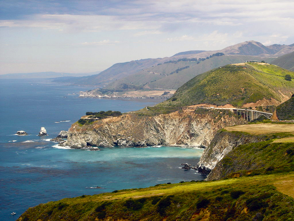
- Big Sur
- Kings Canyon National Park
- Metropolitan Fresno
- Monterey Bay
- Pinnacles National Park
- Salinas Valley
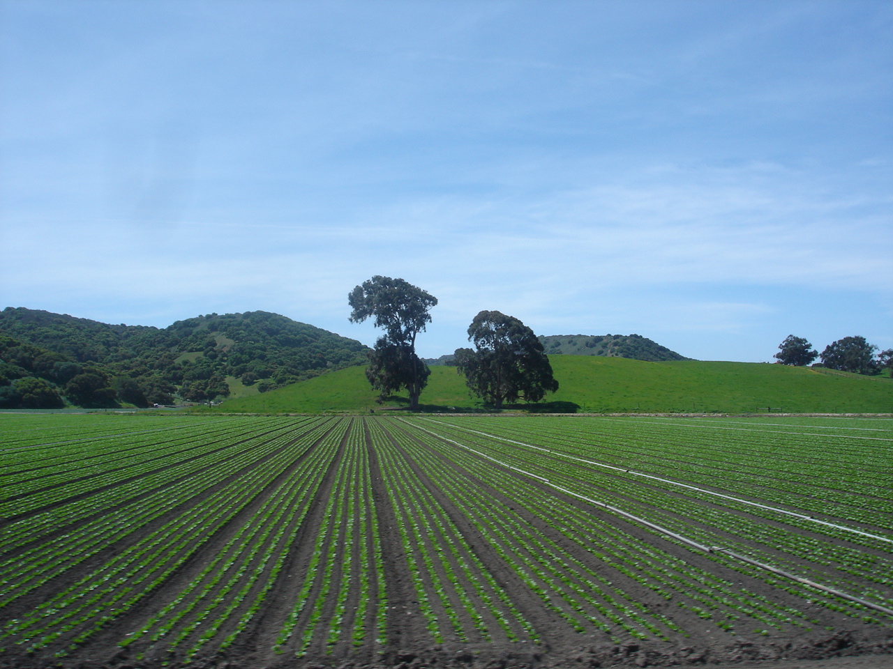
- San Joaquin Valley
- Sequoia National Park
- Yosemite National Park
The following regions are partially contained within central California:
- California Coast Ranges
- Central Coast
- Diablo Range
- Gold Country
- Kern County
- Santa Barbara County
- Santa Cruz County
- Sierra Nevada Mountains
- Tehachapi Mountains
Education
Central California has opened two new universities recently, one in each of the past two decades.
The University of California has one campus in the region. University of California, Merced opened on a newly constructed site on the east side of Merced in 2005.
The California State University system has four campuses in the region. California State University, Monterey Bay opened on the site of the former Fort Ord army base in 1994. California State University, Stanislaus in Turlock opened in 1957. California State University, Fresno opened in 1911.
The Monterey Institute of International Studies is a graduate school that offers eleven master's degree programs in international policy, international management, language teaching, and translation and interpretation. The Monterey Institute of International Studies is a graduate school of Middlebury College.
San Joaquin College of Law is a private, nonprofit law school located in Clovis.
Fresno Pacific University is a private university in Fresno.
The Naval Postgraduate School and Defense Language Institute are located in Monterey.
The following community college campus sites are in the region:{{Cite web | access-date = 2010-01-23 | url-status = dead | archive-url = https://web.archive.org/web/20100121000058/http://cccco.edu/CommunityColleges/CommunityCollegeListings/CollegeListingsAlphabetical/tabid/643/Default.aspx | archive-date = 2010-01-21
- Columbia College in Sonora, Tuolumne County
- Clovis Community College in Clovis, Fresno County
- Fresno City College in Fresno, Fresno County
- Hartnell College in Salinas, Monterey County
- Merced College in Merced, Merced County
- Modesto Junior College in Modesto, Stanislaus County
- Monterey Peninsula College, Monterey, Monterey County
- Porterville College in Porterville, Tulare County
- Reedley College in Fresno, Fresno County
- College of the Sequoias in Visalia, Tulare County
- West Hills College Coalinga in Coalinga, Fresno County
- West Hills College Lemoore in Lemoore, Kings County
- Madera Community College in Madera, Madera County
- Oakhurst Community College Center in Oakhurst, Madera County
There are no community colleges in Mariposa or San Benito Counties.
Transport
Major highways
Most of the major highways in the region run north-south around the mountains. Interstate 5 and State Route 99 are the primary highways in the San Joaquin Valley. US 101 and State Route 1 are the major coastal highways.
Rail
Passenger rail in the region consists of the Amtrak long-haul Coast Starlight and the regional Gold Runner routes.
The California High-Speed Rail system is under construction between Merced and Bakersfield. In Central California, the system will have stations in Merced, Madera, Fresno, and the Kings–Tulare area. Planning is underway to extend the initial line to San Francisco/San Jose and Los Angeles.
Freight rail is served by commercial railroads. Union Pacific Railroad and BNSF Railway operate mainline freight through the region in the Central Valley.
Air
Major and regional airline services are available at Fresno Yosemite International Airport and Monterey Regional Airport. Regional airline service is also available at Merced Regional Airport.
General Aviation airports exist in all ten counties. The largest are former military bases converted to civilian airports:
- Castle Airport in Merced County
- Marina Municipal Airport in Monterey County
- Porterville Municipal Airport in Tulare County
- Salinas Municipal Airport in Monterey County
- Visalia Municipal Airport in Tulare County
An active military air base is at Naval Air Station Lemoore in Kings County, and the 144th Fighter Wing is stationed at Fresno Air National Guard Base in Fresno County.
Notes
Variations on significant/influential definitions of the term central California are collected in this section.
The following counties are self-described as being in central California or central within California:
- Fresno County
- Fresno County's intro paragraph on its web site says it is in central California.{{Cite web |access-date = 2010-01-24 |archive-url = https://web.archive.org/web/20110718174351/http://www.co.fresno.ca.us/CountyPage.aspx?id=19947 |archive-date = 2011-07-18 |url-status = dead
- Madera County
- Madera County describes itself as located "in the exact center of California."{{Cite web | access-date = 2010-01-24 | url-status = dead | archive-url = https://web.archive.org/web/20100116214630/http://madera-county.com/facts/index.html | archive-date = 2010-01-16
- Madera County Economic Development Commission describes the county as "located in the geographical center of California".{{Cite web | access-date = 2010-01-24 }}
- Tulare County
- Tulare County describes itself as "centrally located within the State of California".{{Cite web | access-date = 2010-01-24 | url-status = dead | archive-url = https://web.archive.org/web/20100110014018/http://www.co.tulare.ca.us/about/default.asp | archive-date = 2010-01-10
The following are definitions by influential organizations:
- The National Register of Historic Places splits California three ways with lines across the map, with central California being approximately above Los Angeles County and below Santa Clara and Merced Counties.{{Cite web | archive-url = https://archive.today/20121214041219/http://www.nps.gov/history/Nr/travel/ca/maps.htm | url-status = dead | archive-date = December 14, 2012 | access-date = 2010-01-24 }}
- The California Department of Transportation, or CalTrans, has a wide definition of the central portion of the state with several multi-county districts which have "central" in the name, combining the Central Coast and Central Valley. The North Central district covers Sacramento to Chico. The Central district covers Stockton to Merced, and Yosemite. The South Central district covers Madera, Fresno, and Bakersfield. The Central Coast district covers Santa Cruz to Monterey.{{Cite web | access-date = 2010-01-24 }}
- The Central California chapter of the Better Business Bureau defines their central California region to exclude the coastal counties and include Mono, Inyo and Kern Counties. Their definition is Fresno County, Inyo County, Kern County, Kings County, Madera County, Mariposa County, Merced County, Mono County, and Tulare County.{{Cite web | access-date = 2010-01-24 }}
References
;General
;Specific
References
- (May 2022). "Drought.gov".
- (November 10, 2018). "California's most destructive wildfire should not have come as a surprise". [[Los Angeles Times]].
- "Advancing Drought Science and Preparedness across the Nation". National Integrated Drought Information System.
- "Oakhurst Community College Center".
This article was imported from Wikipedia and is available under the Creative Commons Attribution-ShareAlike 4.0 License. Content has been adapted to SurfDoc format. Original contributors can be found on the article history page.
Ask Mako anything about Central California — get instant answers, deeper analysis, and related topics.
Research with MakoFree with your Surf account
Create a free account to save articles, ask Mako questions, and organize your research.
Sign up freeThis content may have been generated or modified by AI. CloudSurf Software LLC is not responsible for the accuracy, completeness, or reliability of AI-generated content. Always verify important information from primary sources.
Report