From Surf Wiki (app.surf) — the open knowledge base
Cape Lookout (North Carolina)
Cape in North Carolina, United States
Cape in North Carolina, United States
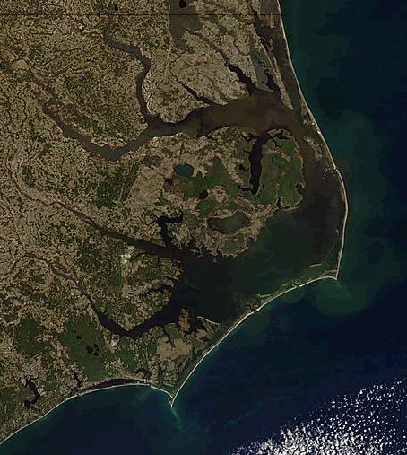
** Cape Lookout** is the southern point of the Core Banks, one of the natural barrier islands on the Atlantic coast of North Carolina. It delimits Onslow Bay to the west from Raleigh Bay to the east. Core Banks and Shackleford Banks have been designated as parts of the Cape Lookout National Seashore.
Part of Carteret County, the cape sits 11 mi southeast of Beaufort. It is one of the state's three major capes, along with Cape Hatteras to the north and Cape Fear to the south.
The 163 ft Cape Lookout Lighthouse sits about three miles northeast of the cape's point.
Climate
According to the Trewartha climate classification system, Cape Lookout, North Carolina has a humid subtropical climate with hot and humid summers, cool winters and year-around precipitation (Cfak). Cfak climates are characterized by all months having an average mean temperature 32.0 °F ( 0.0 °C), at least eight months with an average mean temperature ≥ 50.0 °F (≥ 10.0 °C), at least one month with an average mean temperature ≥ 71.6 °F (≥ 22.0 °C) and no significant precipitation difference between seasons. During the summer months in Cape Lookout, a cooling afternoon sea breeze is present on most days, but episodes of extreme heat and humidity can occur with heat index values ≥ 100 °F (≥ 38 °C). Cape Lookout is prone to hurricane strikes, particularly during the Atlantic hurricane season which extends from June 1 through November 30, sharply peaking from late August through September. During the winter months, episodes of cold and wind can occur with wind chill values
| Jan dew point F = 38.8 | Feb dew point F = 40.5 | Mar dew point F = 45.3 | Apr dew point F = 52.6 | May dew point F = 60.5 | Jun dew point F = 69.0 | Jul dew point F = 73.6 | Aug dew point F = 72.0 | Sep dew point F = 68.0 | Oct dew point F = 58.0 | Nov dew point F = 50.9 | Dec dew point F = 42.4 | year dew point F = 56.0
Ecology
According to the A. W. Kuchler U.S. potential natural vegetation types, Cape Lookout, North Carolina would have a dominant vegetation type of Live oak/Sea Oats Uniola paniculata (90) with a dominant vegetation form of Coastal Prairie (20).
References
Southeastern North Carolina Beaches
References
- Cape Lookout National Seashore. "Current Documents".
- "CAPE LOOKOUT".
- "Maps - Cape Lookout National Seashore (U.S. National Park Service)".
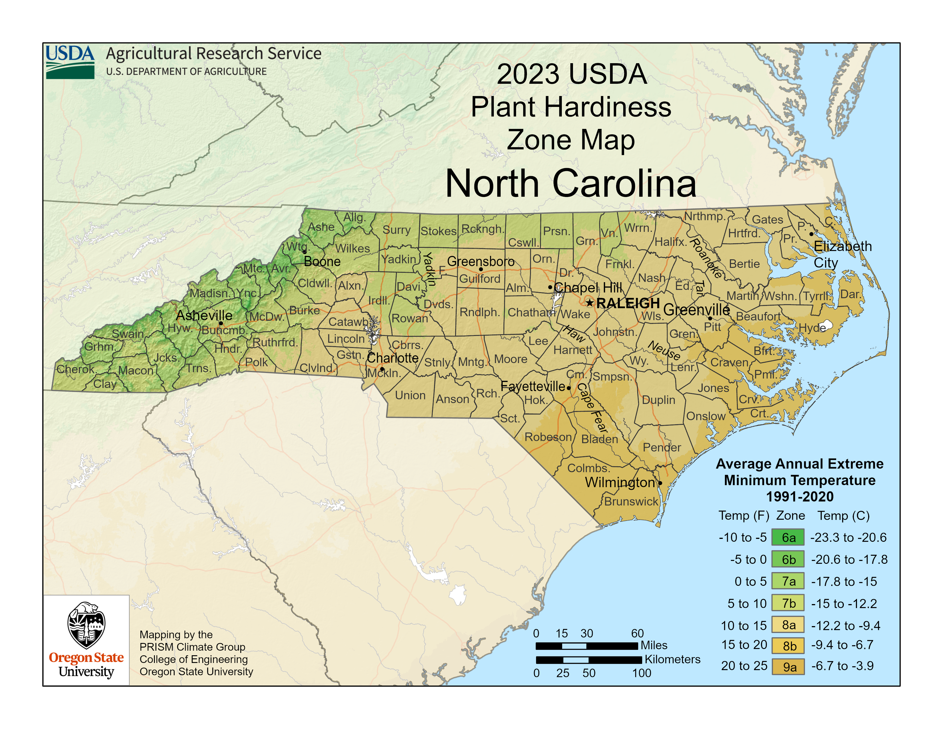
- "USDA Interactive Plant Hardiness Map". [[United States Department of Agriculture]].
- "PRISM Climate Group, Oregon State University".
- "Water Temperature Table of All Coastal Regions".
- "U.S. Potential Natural Vegetation, Original Kuchler Types, v2.0 (Spatially Adjusted to Correct Geometric Distortions)".
This article was imported from Wikipedia and is available under the Creative Commons Attribution-ShareAlike 4.0 License. Content has been adapted to SurfDoc format. Original contributors can be found on the article history page.
Ask Mako anything about Cape Lookout (North Carolina) — get instant answers, deeper analysis, and related topics.
Research with MakoFree with your Surf account
Create a free account to save articles, ask Mako questions, and organize your research.
Sign up freeThis content may have been generated or modified by AI. CloudSurf Software LLC is not responsible for the accuracy, completeness, or reliability of AI-generated content. Always verify important information from primary sources.
Report