From Surf Wiki (app.surf) — the open knowledge base
Canning Highway
Highway in Perth, Western Australia
Highway in Perth, Western Australia
| Field | Value | |
|---|---|---|
| type | highway | |
| road_name | Canning Highway | |
| state | wa | |
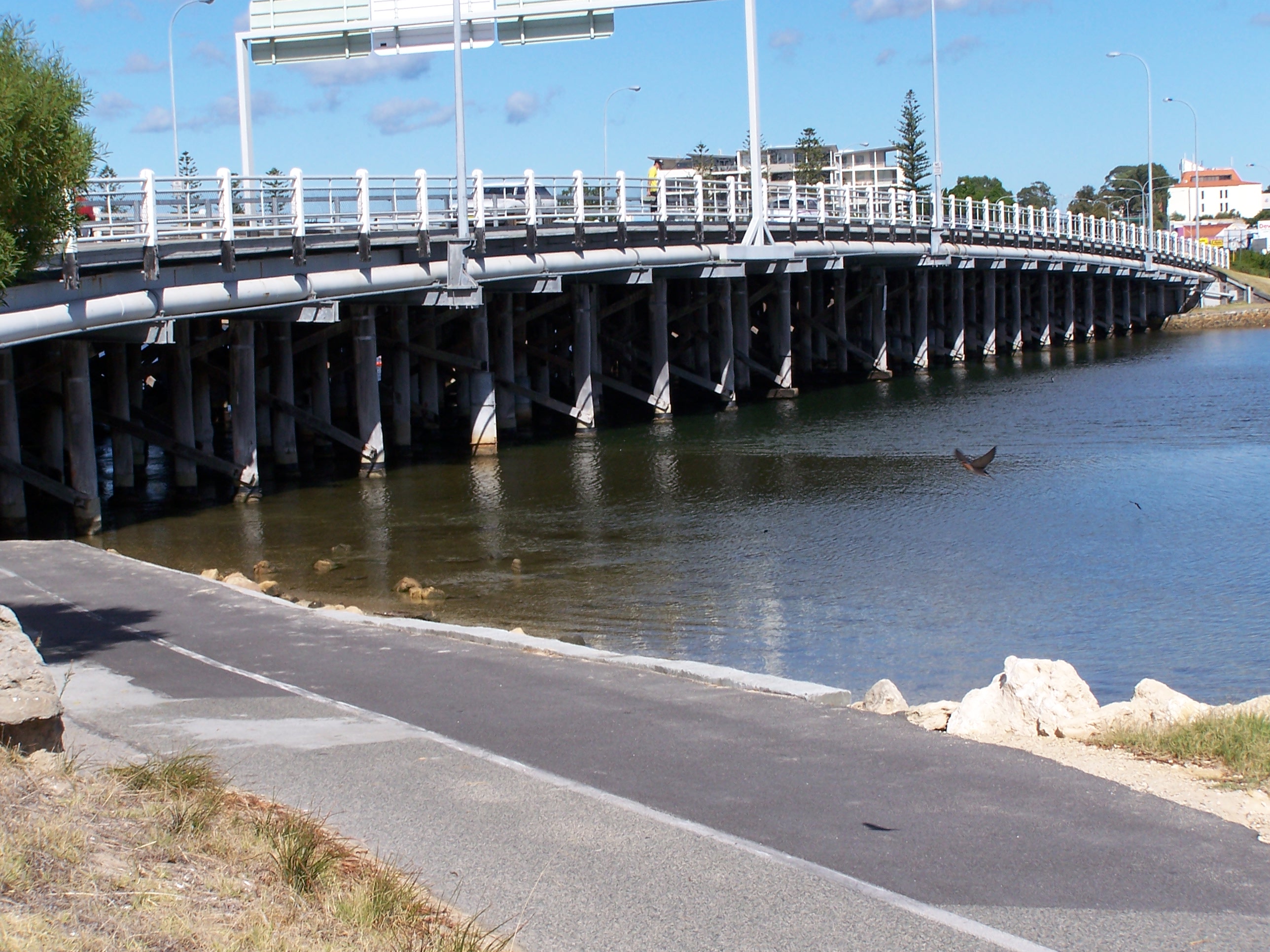
| image | Canning Highway, Applecross.jpg | |
| caption | Canning Highway running through Applecross | |
| length | 17 | |
| est | 1920s | |
| route | {{Plainlist | |
| direction_a | Northeast | |
| end_a | Great Eastern Highway (National Highway 94 / National Route 1), Victoria Park | |
| exits | {{Plainlist | |
| direction_b | Southwest | |
| end_b | Queen Victoria Street (State Route 12), Fremantle | |
| through | , |
- State Route 6 (all sections)
- National Route 1 (Great Eastern Highway to Kwinana Freeway)
- The Causeway (State Route 5)
- Kwinana Freeway (State Route 2)
- Stirling Highway (State Route 5)
Canning Highway is an arterial road in Perth, Western Australia, linking the inner Perth suburb of Victoria Park in the north-east, to the port city of Fremantle in the south-west.
The road is mostly a four-lane divided carriageway, with a general speed limit of 60 km/h. It is located immediately south of the Swan River and runs between The Causeway in Victoria Park and Queen Victoria Street in Fremantle.
Canning Highway was the inspiration for the AC/DC song "Highway to Hell" as it had a reputation for accidents and led to many of singer Bon Scott's favourite pubs and hotels, including the Raffles Hotel.
History
Canning Highway is named after the river which it crosses, which was in turn named after George Canning (1770–1827), an eminent British statesman who for a brief period was Prime Minister of Great Britain.
The modern highway was formally commenced in the 1920s, with major work commencing in 1927 to upgrade an 8 mi section between Suburban Street, South Perth (now Mill Point Road) and Petra Street, East Fremantle. The road initially had the following names:
- Canning Road (Fremantle–Wireless Hill)
- Perth–Fremantle Road (Wireless Hill–Canning Bridge)
- Lower Canning Road (Canning Bridge–South Terrace)
- Fremantle Road (South Terrace–Causeway)
The road was officially named Canning Highway on 23 November 1937. In 1938, the present northern bridge over Canning River was opened. It was 32 ft wide and constructed of timber, as was then common practice. The experience gained building this bridge was used to construct the Fremantle Traffic Bridge over the Swan River one year later. The Fremantle Traffic Bridge joined Canning Highway near Fremantle with North Fremantle, and this intersection forms the highway's present western terminus.
In 1958, the present southern bridge over Canning River was constructed which coincided with the opening of Kwinana Freeway between the Narrows Bridge and Canning Highway.
In 1974, the rotary (roundabout) at the southern end of the Causeway in Victoria Park was upgraded to a parclo interchange, which resulted in Canning Highway joining seamlessly with Great Eastern Highway. At the same time, Stirling Highway was extended from North Fremantle across the Swan River via the new Stirling bridge to join with Canning Highway.
In 1979, a new diamond interchange was built near Canning Bridge to route the Kwinana Freeway underneath Canning Highway and progress the freeway further southwards.
Apart from minor additional lanes and modifications, the highway has remained largely unchanged since.
Raffles Hotel

One of the most enduring sights on Canning Highway has been the Raffles Hotel at night-time, with its ornamental lighting and an iconic animated rooftop neon beer sign (for many years advertising Swan Lager). It is situated in Applecross adjacent to Canning Bridge. The hotel has reopened with a pub and a bottle shop called Raffles Liquor Merchants. The Raffles later swapped to two beer advertising neon lights, one for Victoria bitter and one large one advertising Crown lager. Since at least 2015 however, the neon lights now advertise Asahi Super Dry.
Public transport
Canning Highway crosses the Kwinana Freeway at the Canning Bridge station on the Mandurah railway line. Buses also stop at this station and enter and exit the freeway via bus lanes. High frequency route 910 traverses the whole length of Canning Highway, and route 111 also runs along the section of the highway west of Canning Bridge. Special event route 659 runs a limited stop route along Canning Highway between Fremantle Station and Perth Stadium.
Major intersections & interchanges
The entire highway is located in the Perth Metropolitan Region. All intersections mentioned below are signalised unless otherwise mentioned.
References
References
- (28 January 2009). "AC/DC – The Stories Behind The Songs".
- (20 October 2019). "Highway to Hell: 10km of major Perth highway to shut for AC/DC covers concert".
- (July 2004). "Origin and Meaning of Street and Place Names". City of South Perth.
- (23 November 1937). "The Land Act, 1933–1936. Change of Name of Road — Perth to Fremantle.".
This article was imported from Wikipedia and is available under the Creative Commons Attribution-ShareAlike 4.0 License. Content has been adapted to SurfDoc format. Original contributors can be found on the article history page.
Ask Mako anything about Canning Highway — get instant answers, deeper analysis, and related topics.
Research with MakoFree with your Surf account
Create a free account to save articles, ask Mako questions, and organize your research.
Sign up freeThis content may have been generated or modified by AI. CloudSurf Software LLC is not responsible for the accuracy, completeness, or reliability of AI-generated content. Always verify important information from primary sources.
Report