From Surf Wiki (app.surf) — the open knowledge base
Callander Bay
Bay in Parry Sound District, Ontario, Canada
Bay in Parry Sound District, Ontario, Canada
| Field | Value |
|---|---|
| name | Callander Bay |
| other_name | baie Callander |
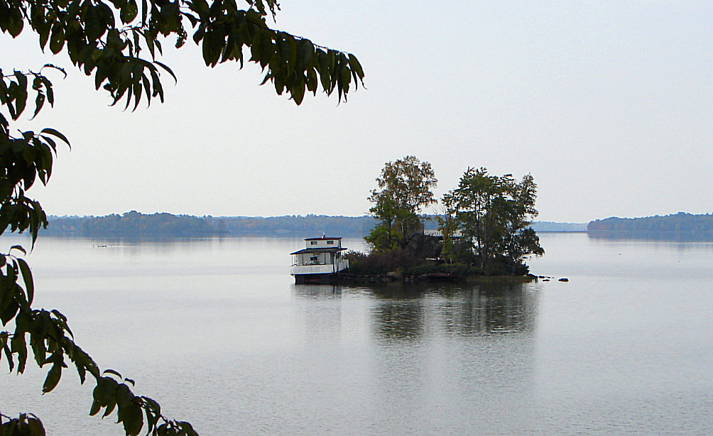
| image | Callander Bay satellite.jpg |
| caption | Satellite image of Callander Bay |
| location | Parry Sound District, Ontario |
| coordinates | |
| part_of | Lake Nipissing |
| catchment | |
| basin_countries | Canada |
| date-built | |
| date-flooded | |
| length | |
| width | |
| depth | |
| max-depth | |
| volume | |
| shore | |
| elevation | 196 m |
| temperature_high | |
| temperature_low | |
| cities | Callander |
| pushpin_map | Canada Southern Ontario#Canada Ontario |
| pushpin_map_caption | Location in southern Ontario##Location in Ontario |
| date-built = | date-flooded = | max-depth =
Callander Bay () is a bay at the extreme east of Lake Nipissing in the municipality of Callander, Parry Sound District, Ontario, Canada. It is approximately 4 km in diameter. The community of Callander is located on its east side.
Geology
Callander Bay is an eroded Proterozoic volcanic pipe formed by the violent, supersonic eruption of a deep-origin volcano. These volcanoes originate at least three times as deep as most other volcanoes, and the resulting magma that is pushed toward the surface is high in magnesium and volatile compounds such as water and carbon dioxide. As the body of magma rises toward the surface, the volatile compounds transform to gaseous phase as pressure is reduced with decreasing depth. This sudden expansion propels the magma upward at rapid speeds, resulting in a shallow supersonic eruption.
Callander Bay contains uncommon rocks such as nepheline syenite and carbonatite and the minerals: aegirine, amphibole, analcime, apatite, barite, biotite, calcite, cancrinite, chalcopyrite, chlorite, diopside, dolomite, fluorite, garnet, hematite, kaersutite, magnetite, muscovite, nepheline, olivine, perthite, pyrite, pyroxene and pyrrhotite.
References
References
- "Callander Bay".
- Inferred from [[Lake Nipissing]]. Retrieved 2021-02-13.
- "Toporama (on-line map and search)". Natural Resources Canada.
- (2014). "Ontario Geonames GIS (on-line map and search)". [[Ministry of Natural Resources and Forestry.
- (2006). "Restructured municipalities - Ontario map #4". [[Ministry of Municipal Affairs and Housing (Ontario).
- (2020-01-01). "Map 8". [[Ministry of Transportation of Ontario]].
- "Background Geology of the North Bay area".
- Woolley, Alan R. (1987). "Other localities - Canada". [[Natural History Museum, London.
This article was imported from Wikipedia and is available under the Creative Commons Attribution-ShareAlike 4.0 License. Content has been adapted to SurfDoc format. Original contributors can be found on the article history page.
Ask Mako anything about Callander Bay — get instant answers, deeper analysis, and related topics.
Research with MakoFree with your Surf account
Create a free account to save articles, ask Mako questions, and organize your research.
Sign up freeThis content may have been generated or modified by AI. CloudSurf Software LLC is not responsible for the accuracy, completeness, or reliability of AI-generated content. Always verify important information from primary sources.
Report