From Surf Wiki (app.surf) — the open knowledge base
Butte County, California
County in California, United States
County in California, United States
| Field | Value |
|---|---|
| name | Butte County |
| nickname | "The Land of Natural Wealth and Beauty" |
| settlement_type | County |
| image_skyline | {{multiple image |
| total_width | 280 |
| border | infobox |
| perrow | 1/3/2 |
| caption_align | center |
| image1 | Oroville dam Fyx nEtaMAAHTtF (cropped).jpg |
| caption1 | Lake Oroville and Oroville Dam |
| image2 | Senator Theatre Building, Chico (cropped).jpg |
| caption2 | Chico |
| image3 | Feather River Route bridges.jpg |
| caption3 | Feather River |
| image4 | Oroville Inn (2024)-L1004244 (cropped).jpg |
| caption4 | Oroville |
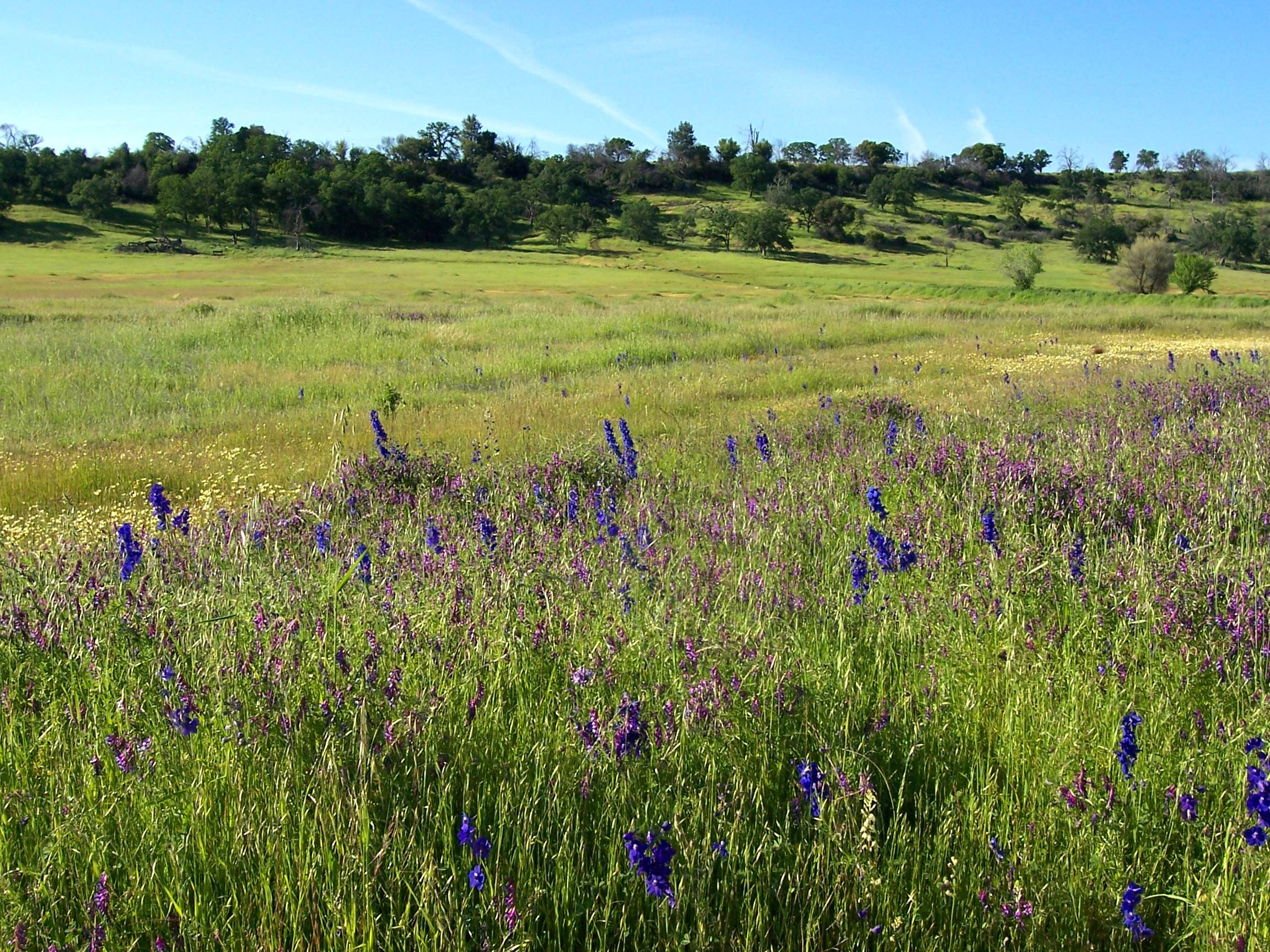
| image5 | Bald Rock Dome (1).jpg |
| caption5 | Bald Rock Dome |
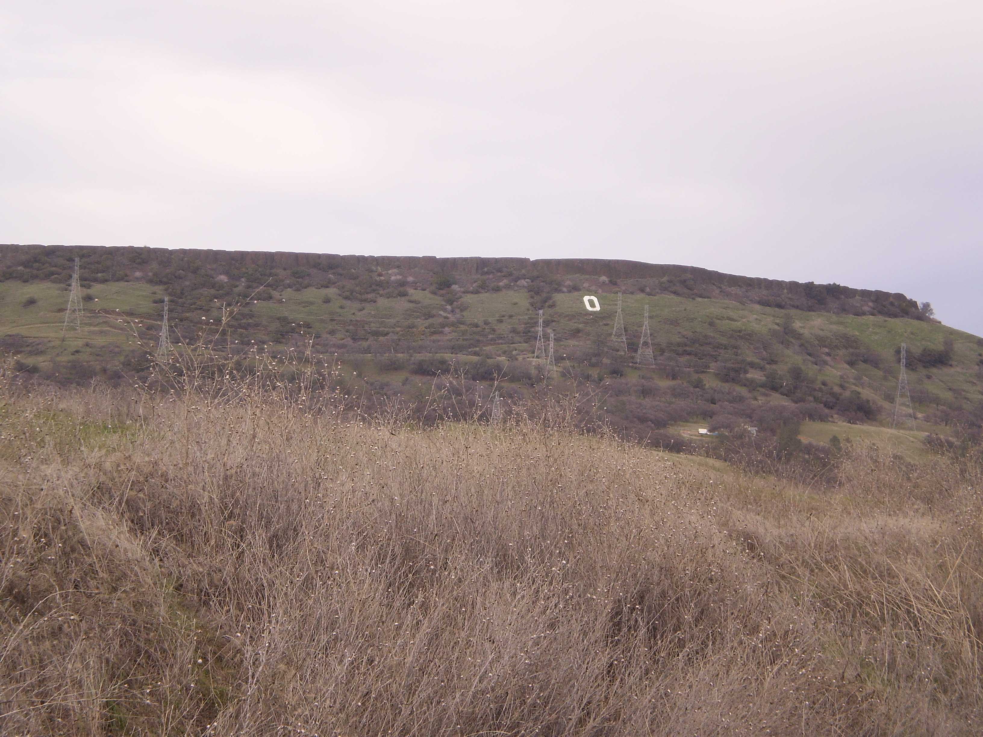
| image6 | Mountains near Gridley.jpg |
| caption6 | Gridley |
| image_seal | Seal of Butte County, California.png |
| image_blank_emblem | Logo of Butte County, California.png |
| blank_emblem_link | List of U.S. county and city insignia |
| blank_emblem_type | Wordmark |
| named_for | The nearby Sutter Buttes |
| subdivision_type | Country |
| subdivision_name | United States |
| subdivision_type1 | State |
| subdivision_name1 | California |
| subdivision_type2 | Region |
| subdivision_name2 | Shasta Cascade & Sacramento Valley |
| seat_type | County seat |
| seat | Oroville |
| parts_type | Largest city |
| parts | Chico |
| unit_pref | US |
| area_total_sq_mi | 1677 |
| area_land_sq_mi | 1636 |
| area_water_sq_mi | 41 |
| elevation_max_footnotes | |
| elevation_max_ft | 7124 |
| government_type | Council–CAO |
| leader_title | Chair |
| leader_name | Tod Kimmelshue |
| leader_title1 | Vice Chair |
| leader_name1 | Bill Connelly |
| leader_title2 | Board of Supervisors |
| leader_name2 | {{Collapsible list |
| title | Supervisors |
| 1 | Bill Connelly |
| 2 | Peter Durfee |
| 3 | Tami Ritter |
| 4 | Tod Kimmelshue |
| 5 | Doug Teeter |
| leader_title4 | Chief Administrative Officer |
| leader_name4 | Andy Pickett |
| population_as_of | 2020 |
| population_footnotes | |
| population_total | 211632 |
| population_density_sq_mi | auto |
| established_title | Incorporated |
| established_date | February 18, 1850 |
| demographics_type2 | GDP |
| demographics2_footnotes | |
| demographics2_title1 | Total |
| demographics2_info1 | $11.077 billion (2022) |
| timezone | Pacific Time Zone |
| utc_offset | −8 |
| timezone_DST | Pacific Daylight Time |
| utc_offset_DST | −7 |
| postal_code_type | |
| image_map | |
| map_caption | Interactive map of Butte County |
| image_map1 | Map of California highlighting Butte County.svg |
| mapsize1 | 200px |
| map_caption1 | Location in the state of California |
| area_code_type | Area code |
| area_code | 530 |
| blank_name_sec1 | FIPS code |
| blank_info_sec1 | 06-007 |
| blank1_name_sec1 | GNIS feature ID |
| blank1_info_sec1 | |
| blank_name_sec2 | Congressional district |
| blank_info_sec2 | 1st |
| website |
Butte County () is a county located in the northern central part of the U.S. state of California. In the 2020 census, its population was 211,632. The county seat is Oroville.
Butte County comprises the Chico, California, metropolitan statistical area. It is in the California Central Valley, north of the state capital of Sacramento.
Butte County is drained by the Feather River and the Sacramento River. Butte Creek and Big Chico Creek are additional perennial streams, both tributary to the Sacramento. The county is home to California State University, Chico and Butte College.
History
Butte County is named for the visually striking +2000 ft Sutter Buttes in neighboring Sutter County. Butte County was incorporated as one of California's 27 original counties on February 18, 1850. The county went across the present limits of the Tehama, Plumas, Colusa, and Sutter Counties. Suffragists from Butte County including Minnie Sharkey Abrams played a notable role in the women's suffrage campaign in 1911.
Between November 8 and 25, 2018, a major wildfire, the Camp Fire, destroyed most of the town of Paradise, the adjacent community of Concow, and a large area of rural, hilly country east of Chico. More than 80 people were killed, 50,000 were displaced, over 150,000 acres were burned, and nearly 20,000 buildings were destroyed. The Camp Fire was California's most destructive and deadliest fire.
On July 24, 2024, the Park Fire ignited four miles south of downtown Chico in Bidwell Park. This was due to an act of arson by Chico resident Ronnie Dean Stout II, as he revved the engines of his mom's 2007 Toyota Yaris because he got stuck in the grass, causing the surrounding area to catch fire. Over the course of the next 64 days, the fire crossed the county line with Tehama County, burned 429,603 acres, killed one person, and destroyed 709 structures. It became the largest wildfire caused by arson in the state's history, the fourth largest fire in the state's history, the largest fire of the 2024 California Wildfire Season, and the second largest single fire in the state's history (as opposed to a complex fire, with multiple ignition points).
Geography
According to the U.S. Census Bureau, the county has a total area of 1677 sqmi, of which 41 sqmi (2.4%) are covered by water.
The county is drained by the Feather River and Butte Creek. Part of the county's western border is formed by the Sacramento River. The county lies along the western slope of the Sierra Nevada, the steep slopes making it prime territory for the siting of hydroelectric power plants. About a half dozen of these plants are located in the county, one of which, serves the Oroville Dam.
National protected areas
- Butte Sink National Wildlife Refuge (part)
- Lassen National Forest (part)
- Plumas National Forest (part)
- Sacramento River National Wildlife Refuge (part)
Adjacent counties
- Sutter County, California – south
- Colusa County, California – southwest
- Glenn County, California – west
- Tehama County, California – northwest
- Plumas County, California – northeast
- Yuba County, California – southeast
Demographics
|align-fn=center
1790–1960 1900–1990 1990–2000 2010 2020
2020 census
As of the 2020 census, Butte County had a population of 211,632. The median age was 37.9 years, 20.5% of residents were under the age of 18, and 19.0% were 65 years of age or older. For every 100 females there were 97.8 males, and for every 100 females age 18 and over there were 96.3 males age 18 and over.
79.0% of residents lived in urban areas, while 21.0% lived in rural areas.
There were 83,268 households in the county, of which 27.2% had children under the age of 18 living with them and 28.7% had a female householder with no spouse or partner present. About 28.3% of all households were made up of individuals and 12.6% had someone living alone who was 65 years of age or older.
The county's population was 70.7% White, 1.7% Black or African American, 2.1% American Indian and Alaska Native, 5.0% Asian, 0.3% Native Hawaiian and Pacific Islander, 8.6% from some other race, and 11.7% from two or more races; Hispanic or Latino residents of any race comprised 19.0% of the population.
There were 90,133 housing units, of which 7.6% were vacant. Among occupied housing units, 56.2% were owner-occupied and 43.8% were renter-occupied. The homeowner vacancy rate was 1.5% and the rental vacancy rate was 4.7%.
Racial and ethnic composition
| Race / Ethnicity (NH = Non-Hispanic) | Pop 1980 | Pop 1990 | title=P004: Hispanic or Latino, and Not Hispanic or Latino by Race – 2000: DEC Summary File 1 – Butte County, California | url=https://data.census.gov/table?g=050XX00US06007&tid=DECENNIALSF12000.P004 | website=United States Census Bureau | access-date= }} | title=P2: Hispanic or Latino, and Not Hispanic or Latino by Race – 2010: DEC Redistricting Data (PL 94-171) – Butte County, California | url=https://data.census.gov/cedsci/table?q=p2&g=050XX00US06007&tid=DECENNIALPL2010.P2 | website=United States Census Bureau | access-date= }} | Pop 2020 | % 1980 | % 1990 | % 2000 | % 2010 | % 2020 |
|---|---|---|---|---|---|---|---|---|---|---|---|---|---|---|---|---|
| White alone (NH) | 130,522 | 158,242 | 162,564 | 165,416 | 139,651 | 90.73% | 86.89% | 80.01% | 75.19% | 65.99% | ||||||
| Black or African American alone (NH) | 1,686 | 2,238 | 2,699 | 3,133 | 3,320 | 1.17% | 1.23% | 1.33% | 1.42% | 1.57% | ||||||
| Native American or Alaska Native alone (NH) | 2,062 | 2,946 | 3,295 | 3,395 | 3,050 | 1.43% | 1.62% | 1.62% | 1.54% | 1.44% | ||||||
| Asian alone (NH) | 1,287 | 4,961 | 6,676 | 8,921 | 10,333 | 0.89% | 2.72% | 3.29% | 4.06% | 4.88% | ||||||
| Native Hawaiian or Pacific Islander alone (NH) | x | x | 273 | 401 | 508 | x | x | 0.13% | 0.18% | 0.24% | ||||||
| Other race alone (NH) | 752 | 127 | 435 | 318 | 1,184 | 0.52% | 0.07% | 0.21% | 0.14% | 0.56% | ||||||
| Mixed race or Multiracial (NH) | x | x | 5,890 | 7,300 | 13,474 | x | x | 2.90% | 3.32% | 6.37% | ||||||
| Hispanic or Latino (any race) | 7,542 | 13,606 | 21,339 | 31,116 | 40,112 | 5.24% | 7.47% | 10.50% | 14.14% | 18.95% | ||||||
| Total | 143,851 | 182,120 | 203,171 | 220,000 | 211,632 | 100.00% | 100.00% | 100.00% | 100.00% | 100.00% |
2010 Census
The 2010 United States census reported that Butte County had a population of 220,000. The racial makeup of Butte County was 180,096 (81.9%) White, 3,415 (1.6%) African American, 4,395 (2.0%) Native American, 9,057 (4.1%) Asian, 452 (0.2%) Pacific Islander, 12,141 (5.5%) from other races, and 10,444 (4.7%) from two or more races. Hispanics or Latinos of any race were 31,116 persons (14.1%).
| Population reported at 2010 United States census |
|---|
| Butte County |
| Biggs |
| Chico |
| Gridley |
| Oroville |
| Paradise |
| Bangor |
| Berry Creek |
| Butte Creek Canyon |
| Butte Meadows |
| Butte Valley |
| Cherokee |
| Clipper Mills |
| Cohasset |
| Concow |
| Durham |
| Forbestown |
| Forest Ranch |
| Honcut |
| Kelly Ridge |
| Magalia |
| Nord |
| Oroville East |
| Palermo |
| Rackerby |
| Richvale |
| Robinson Mill |
| South Oroville |
| Stirling City |
| Thermalito |
| Yankee Hill |
| All others not CDPs (combined) |
2000
As of the census of 2000, there were 203,171 people, 79,566 households, and 49,410 families residing in the county. The population density was 124 /mi2. There were 85,523 housing units at an average density of 52 /mi2. The racial makeup of the county was 84.5% White, 10.5% of the population were Hispanic or Latino, 3.3% Asian, 1.9% Native American, 1.4% Black or African American, 0.2% Pacific Islander, 4.8% from other races, and 3.9% from two or more races. 87.9% spoke English, 7.8% Spanish and 1.4% Hmong as their first language.
There were 79,566 households, out of which 28.4% had children under the age of 18 living with them, 46.7% were married couples living together, 11.2% had a female householder with no husband present, and 37.9% were non-families. 27.2% of all households were made up of individuals, and 11.1% had someone living alone who was 65 years of age or older. The average household size was 2.48 and the average family size was 3.02.
In the county, the population was spread out, with 24.0% under the age of 18, 13.6% from 18 to 24, 24.8% from 25 to 44, 21.8% from 45 to 64, and 15.8% who were 65 years of age or older. The median age was 36 years. For every 100 females there were 96.1 males. For every 100 females age 18 and over, there were 92.6 males.
The median income for a household in the county was $31,924, and the median income for a family was $41,010. Males had a median income of $34,137 versus $25,393 for females. The per capita income for the county was $17,517. About 12.2% of families and 19.8% of the population were below the poverty line, including 23.8% of those under age 18 and 7.3% of those age 65 or over.
Health and crime
There are four major hospitals and the State of California defines Butte County as being inside Health Service Area 1. A special district, the Butte County Air Quality Management District, regulates airborne pollutant emissions in the county. It does this following regional regulations, state, and federal laws. For example, in recent years, the agency changed rules that once allowed residents to burn household trash outdoors.
The following table includes the number of incidents reported and the rate per 1,000 persons for each type of offense.
| Population and crime rates | Population | Violent crime | Homicide | Forcible rape | Robbery | Aggravated assault | Property crime | Burglary | Larceny-theftOnly larceny-theft cases involving property over $400 in value are reported as property crimes. | Motor vehicle theft | Arson |
|---|---|---|---|---|---|---|---|---|---|---|---|
| 220,000 | |||||||||||
| 970 | 4.25 | ||||||||||
| 20 | 0.05 | ||||||||||
| 100 | 0.40 | ||||||||||
| 200 | 0.85 | ||||||||||
| 650 | 2.95 | ||||||||||
| 5,524 | 16.32 | ||||||||||
| 1,733 | 7.90 | ||||||||||
| 3,765 | 17.17 | ||||||||||
| 840 | 3.83 | ||||||||||
| 81 | 0.37 |
Cities by population and crime rates
| Cities by population and crime rates | City | Population | Violent crimes | Violent crime rate | ||
|---|---|---|---|---|---|---|
| per 1,000 persons | Property crimes | Property crime rate | ||||
| per 1,000 persons | ||||||
| Biggs | 1,707 | 24 | 11.02 | 30 | 19.72 | |
| Chico | 90,000 | 317 | 3.24 | 3,634 | 26.31 | |
| Gridley | 6,600 | 113 | 11.72 | 196 | 33.06 | |
| Oroville | 16,000 | 108 | 6.81 | 1,143 | 63.09 | |
| Paradise | 26,492 | 52 | 2.49 | 521 | 18.08 |
Government
Law enforcement
The Butte County Sheriff's Office provides general-service law enforcement to unincorporated areas of Butte County, serving as the equivalent of the county police for unincorporated areas of the county as well as incorporated cities within the county who have contracted with the agency for law-enforcement services (known as "contract cities" in local jargon). It also holds primary jurisdiction over facilities operated by Butte County, such as local parks, marinas and government buildings; provides marshal service for the Butte County Superior Court; operates the county jail system; and provides services such as laboratories and academy training to smaller law enforcement agencies within the county. The first sheriff of Butte County was Joseph Q. Wilbur. Kory Honea has been the sheriff since 2014.
Voter registration statistics
| Population and registered voters | Total eligible population | Registered votersPercentage of registered voters with respect to total population. Percentages of party members with respect to registered voters follow. | Democratic | Republican | Democratic–Republican spread | American Independent | Libertarian | Green | Peace and Freedom | Unknown | Other | No party preference |
|---|---|---|---|---|---|---|---|---|---|---|---|---|
| 164,755 | ||||||||||||
| 123,935 | 75.2% | |||||||||||
| 43,407 | 26.3% | |||||||||||
| 44,362 | 26.9% | |||||||||||
| -955 | -0.6% | |||||||||||
| 5,920 | 3.5% | |||||||||||
| 2,037 | 1.2% | |||||||||||
| 759 | 0.4% | |||||||||||
| 633 | 0.3% | |||||||||||
| 896 | 0.5% | |||||||||||
| 1,051 | 0.6% | |||||||||||
| 24,870 | 15.0% |
Cities by population and voter registration
| Cities by population and voter registration | City | Population | Registered voters | |||||
|---|---|---|---|---|---|---|---|---|
| Democratic | Republican | D–R spread | Other | No party preference | ||||
| Biggs | 1,927 | 38.7% | 36.7% | 37.9% | -1.2% | 8.8% | 19.8% | |
| Chico | 85,605 | 55.0% | 40.1% | 30.3% | +9.8% | 9.8% | 22.7% | |
| Gridley | 6,509 | 40.6% | 37.6% | 34.8% | +2.8% | 9.7% | 21.3% | |
| Oroville | 15,445 | 40.8% | 32.1% | 36.2% | -4.1% | 11.7% | 24.2% | |
| Paradise | 26,348 | 62.1% | 31.1% | 40.8% | -9.7% | 11.5% | 20.5% |
Local
-104A8815.jpg)
The citizens of the county of Butte are represented by the five member Butte County Board of Supervisors.
Tribal
The Berry Creek Rancheria of Tyme Maidu Indians of California is headquartered in Oroville. The Berry Creek Rancheria operates Gold Country Casino.
The Mooretown Rancheria of Maidu Indians of California is also headquartered in Oroville. The Mooretown Rancheria operates Feather Falls Casino.
The governmental headquarters of the Mechoopda Indian Tribe of Chico Rancheria is located in Chico.
State
Butte County is in .{{Cite web |access-date = November 4, 2025 |access-date = November 4, 2025
According to the California Secretary of State, as of February 10, 2019, Butte County has 172,054 registered voters. Of those, 42,093 (34.4%) are registered Democrats, 41,330 (33.8%) are registered Republicans and 30,377 (24.8%) have declined to state a political party.
On November 4, 2008, Butte County voted 56.7% for Proposition 8 which amended the California Constitution to ban same-sex marriages.
Federal
Butte County is in .
Butte is a bellwether county in presidential elections, and one of only thirteen to have voted for Barack Obama in 2008, Mitt Romney in 2012, Donald Trump in 2016, and Joe Biden in 2020.
Education

Public schools
There are roughly 90 public schools in the county according to the National Center for Educational Statistics.
The following school districts cover portions of the county:
K-12:
- Biggs Unified School District
- Chico Unified School District
- Durham Unified School District
- Gridley Unified School District
- Marysville Joint Unified School District
- Paradise Unified School District
Secondary:
- Oroville Union High School District
Elementary:
- Bangor Union Elementary School District
- Feather Falls Union Elementary School District
- Golden Feather Union Elementary School District
- Manzanita Elementary School District
- Oroville City Elementary School District
- Palermo Union School District
- Pioneer Union Elementary School District
- Thermalito Union School District
Colleges and universities
- Butte College
- Butte–Glenn Community College District
- California State University, Chico
Public libraries
Butte County Library provides library services to residents of the County through six branches in Biggs, Chico, Durham, Gridley, Oroville and Paradise. The mission of the Butte County Library is to provide all individuals, regardless of age, ethnic background, educational or economic level, with free access to ideas, information, and technology.
For many years, the library served rural and mountain communities through regularly scheduled bookmobile visits; however, due to budget cuts, this service was discontinued in 2009 and the bookmobile was sold. The library serves low-literacy adults through several programs of the Butte County Library Literacy Services division, including the Adult Reading Program, Families for Literacy and the Literacy Coach, a 36 ft vehicle that provides mobile programming like story times, parent meetings, workshops, and computer and teacher trainings.
The library operates as a department of the County of Butte, governed by the Butte County Board of Supervisors.
Transportation
Major highways
- [[File:California 32.svg|20px|link= |alt=]] State Route 32
- [[File:California 70.svg|20px|link= |alt=]] State Route 70
- [[File:California 99.svg|20px|link= |alt=]] State Route 99
- [[File:California 149.svg|20px|link= |alt=]] State Route 149
- [[File:California 162.svg|20px|link= |alt=]] State Route 162
- [[File:California 191.svg|20px|link= |alt=]] State Route 191
Public transportation
Butte Regional Transit or the B-Line, provides service in and between Chico, Oroville, Paradise, Gridley and Biggs. Chico is also a connection point for Glenn Ride buses to Glenn County and Plumas Transit Systems buses to Plumas County.
Greyhound and FlixBus buses stop in Chico.
Amtrak's Coast Starlight (Los Angeles-Seattle) passenger train makes a stop daily in each direction in Chico's Chico station.
Airports
General Aviation airports in Butte County include:
- Chico Municipal Airport
- Oroville Municipal Airport
- Paradise Airport
- Ranchaero Airport
- Richvale Airport
Communities


Cities
- Biggs
- Chico
- Gridley
- Oroville (county seat)
Towns
- Paradise
Census-designated places
- Bangor
- Berry Creek
- Butte Creek Canyon
- Butte Meadows
- Butte Valley
- Cherokee
- Clipper Mills
- Cohasset
- Concow
- Durham
- Forbestown
- Forest Ranch
- Honcut
- Kelly Ridge
- Magalia
- Nord
- Oroville East
- Palermo
- Rackerby
- Richvale
- Robinson Mill
- South Oroville
- Stirling City
- Thermalito
- Yankee Hill
Unincorporated communities
- Centerville
- DeSabla
- Helltown
- Inskip
- Lomo
- Lovelock
- Powellton
Former townships

In August 1851, the county was divided into six judicial (civil) townships, the four marked by asterisks below, plus Quartz and Mineral, which were separated from Butte County with the formation of Plumas County in 1854.
Between 1851 and 1861, there were several additions and other realignments of the township boundaries; from 1861, the townships were:
- Bidwell
- Chico
- Concow
- Hamilton*
- Kimshew
- Mountain Spring
- Ophir*
- Oregon*
- Oro*
- Wyandotte
Townships created and dissolved between 1851 and 1861 were Benton, Eureka, and Cascade.{{cite book
Ghost towns
- Bidwell's Bar – now located under Lake Oroville
- Butte Creek
- Coutolenc
- Diamondville
- Forks of Butte – a former gold mining settlement
- Hamilton - Butte County's first permanent county seat, John Bidwell discovered gold at Hamilton in 1848, and the settlement arose. It was located on the west side of the Feather River, 15 mi downstream from Oroville.
- Lynchburg
Population ranking
The population ranking of the following table is based on the 2010 census of Butte County.
† county seat
| Rank | City/Town/etc. | Municipal type | Population (2010 Census) |
|---|---|---|---|
| 1 | Chico | City | 86,187 |
| 2 | Paradise | Town | 26,218 |
| 3 | † Oroville | City | 15,546 |
| 4 | Magalia | CDP | 11,310 |
| 5 | Oroville East | CDP | 8,280 |
| 6 | Thermalito | CDP | 6,646 |
| 7 | Gridley | City | 6,584 |
| 8 | South Oroville | CDP | 5,742 |
| 9 | Durham | CDP | 5,518 |
| 10 | Palermo | CDP | 5,382 |
| 11 | Kelly Ridge | CDP | 2,544 |
| 12 | Biggs | City | 1,707 |
| 13 | Berry Creek | CDP | 1,424 |
| 14 | Forest Ranch | CDP | 1,184 |
| 15 | Butte Creek Canyon | CDP | 1,086 |
| 16 | Butte Valley | CDP | 899 |
| 17 | Cohasset | CDP | 847 |
| 18 | Concow | CDP | 710 |
| 19 | Bangor | CDP | 646 |
| 20 | Honcut | CDP | 370 |
| 21 | Yankee Hill | CDP | 333 |
| t-22 | Forbestown | CDP | 320 |
| t-22 | Nord | CDP | 320 |
| 23 | Stirling City | CDP | 295 |
| 24 | Richvale | CDP | 244 |
| 25 | Rackerby | CDP | 204 |
| 26 | Berry Creek Rancheria | AIAN | 152 |
| 27 | Clipper Mills | CDP | 142 |
| 28 | Robinson Mill | CDP | 80 |
| 29 | Cherokee | CDP | 69 |
| 30 | Butte Meadows | CDP | 40 |
| 31 | Enterprise Rancheria | AIAN | 1 |
In popular culture
Several movies have been filmed in Butte County, including Gone with the Wind, The Outlaw Josey Wales, Friendly Persuasion, Magic Town, The Klansman, Ruby Ridge: An American Tragedy, The Adventures of Robin Hood, and Under Wraps. A 2013 episode of the television series Sons of Anarchy involves the sons coming into contact with corrupt police in the fictional town of Eden, located in Butte County.
Notes
;Notes
;References
References
References
- "Butte County High Point". Peakbagger.com.
- (January 2025). "District 4 Supervisor }}{{Dead link".
- "Supervisor Bill Connelly".
- "Board of Supervisors > Home".
- (1919). "Statistical Report of the California State Board of Agriculture for the Year 1918". California State Printing Office.
- "Gross Domestic Product: All Industries in Butte County, CA". [[Federal Reserve Bank of St. Louis]].
- "State & County QuickFacts". United States Census Bureau.
- "Butte County, California".
- "Find a County". National Association of Counties.
- (1905). "The Origin of Certain Place Names in the United States". [[United States Geological Survey]].
- George C. Mansfield, [https://babel.hathitrust.org/cgi/pt?id=chi.29799540;view=1up;seq=28 ''History of Butte County, California, with biographical sketches of the leading men and women of the county who have been identified with its growth and development from the early days to the present''], Hathitrust.org, 1918
- (November 10, 2018). "Death toll jumps to 23 as 'challenging' Camp Fire pushes toward Lake Oroville". [[The Sacramento Bee]].
- (November 11, 2018). "California wildfires: Death toll rises to 25".
- (November 14, 2018). "The California Fire That Killed 48 People Is the Deadliest U.S. Wildfire in a Century".
- DeBenedetti, Katie. (2024-07-30). "Northern California Man, Accused of Starting Massive Park Fire, Charged With Arson {{!}} KQED".
- Ortiz, John Bacon, David Benda and Jorge L.. "Arson suspect claims massive California blaze was an accident".
- "Park Fire {{!}} CAL FIRE".
- "Annual Estimates of the Resident Population for Counties: April 1, 2020 to July 1, 2024". United States Census Bureau.
- "Census of Population and Housing from 1790-2000". [[US Census Bureau]].
- "Historical Census Browser". University of Virginia Library.
- (March 27, 1995). "Population of Counties by Decennial Census: 1900 to 1990". United States Census Bureau.
- (April 2, 2001). "Census 2000 PHC-T-4. Ranking Tables for Counties: 1990 and 2000". United States Census Bureau.
- (2021). "2020 Decennial Census Demographic Profile (DP1)".
- (2023). "2020 Decennial Census Demographic and Housing Characteristics (DHC)".
- (2021). "2020 Decennial Census Redistricting Data (Public Law 94-171)".
- "California: 1980, General Social and Economic Characteristics, Part 1".
- "California: 1990, Part 1".
- "P004: Hispanic or Latino, and Not Hispanic or Latino by Race – 2000: DEC Summary File 1 – Butte County, California".
- "P2: Hispanic or Latino, and Not Hispanic or Latino by Race – 2010: DEC Redistricting Data (PL 94-171) – Butte County, California".
- "P2: Hispanic or Latino, and Not Hispanic or Latino by Race – 2020: DEC Redistricting Data (PL 94-171) – Butte County, California".
- {{USCensus2010CA
- "U.S. Census website". [[United States Census Bureau]].
- U.S. Census Bureau. American Community Survey, 2011 American Community Survey 5-Year Estimates, Table B02001. [https://www.census.gov U.S. Census website] . Retrieved October 26, 2013.
- Office of the Attorney General, Department of Justice, State of California. [http://stats.doj.ca.gov/cjsc_stats/prof09/00/11.pdf Table 11: Crimes – 2009] {{webarchive. link. (December 2, 2013 . Retrieved November 14, 2013.)
- United States Department of Justice, Federal Bureau of Investigation. [https://www.fbi.gov/about-us/cjis/ucr/crime-in-the-u.s/2012/crime-in-the-u.s.-2012/tables/8tabledatadecpdf/table-8-state-cuts/table_8_offenses_known_to_law_enforcement_by_california_by_city_2012.xls Crime in the United States, 2012, Table 8 (California)] {{webarchive. link. (June 28, 2016 . Retrieved November 14, 2013.)
- "History".
- "Statement of Vote, November 8, 2022, General Election".
- California Secretary of State. [http://www.sos.ca.gov/elections/ror/ror-pages/ror-odd-year-2013/political-sub.pdf February 10, 2013 – Report of Registration] {{webarchive. link. (November 3, 2013 . Retrieved October 31, 2013.)
- [https://elections.cdn.sos.ca.gov/ror/ror-odd-year-2019/county.pdf CA Secretary of State – Report of Registration – February 10, 2019]
- "Supplement to the Statement of Vote: Statewide Summary by County for State Ballot Measures".
- {{Cite GovTrack. CA. 1
- "Dave Leip's Atlas of U.S. Presidential Elections".
- Geography Division. "2020 CENSUS - SCHOOL DISTRICT REFERENCE MAP: Butte County, CA". [[U.S. Census Bureau]].
- (2005). "Magalia to Stirling City". Arcadia.
- "2010 U.S. Census website". [[United States Census Bureau]].
- Staff, Website Services & Coordination. "US Census Bureau 2010 Census Interactive Population Map".
- "Where was Gone with the Wind filmed?".
- "195 ACRE RANCH RICH WITH HISTORY.".
- (July 6, 2005). "CN&R • Arts&Culture • Fine Arts • Magic Town • Jun 14, 2001".
- (July 6, 2005). "CN&R • Arts&Culture • Fine Arts • Magic Town • Jun 14, 2001".
- "Sons of Anarchy recap: Son Summit".
This article was imported from Wikipedia and is available under the Creative Commons Attribution-ShareAlike 4.0 License. Content has been adapted to SurfDoc format. Original contributors can be found on the article history page.
Ask Mako anything about Butte County, California — get instant answers, deeper analysis, and related topics.
Research with MakoFree with your Surf account
Create a free account to save articles, ask Mako questions, and organize your research.
Sign up freeThis content may have been generated or modified by AI. CloudSurf Software LLC is not responsible for the accuracy, completeness, or reliability of AI-generated content. Always verify important information from primary sources.
Report