From Surf Wiki (app.surf) — the open knowledge base
Bursa Province
Province of Turkey

Province of Turkey
| Field | Value |
|---|---|
| type | metro province |
| other_name | Bursa ili |
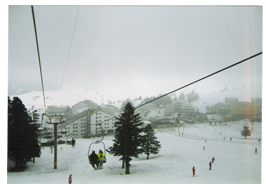
| image_skyline | Uludağ Road.jpg |
| image_caption | Pine trees seen from Uludağ Road |
| image_map | Bursa in Turkey.svg |
| map_caption | Location of the province within Turkey |
| seat | Bursa |
| leader_name1 | Mahmut Demirtaş |
| leader_party | CHP |
| leader_name | Mustafa Bozbey |
| area_total_km2 | 10813 |
| population_footnotes | |
| population_total | 3194720 |
| population_as_of | 2022 |
| website | |
| area_code | 0224 |
the province of Turkey
Bursa Province () is a province and metropolitan municipality in Turkey along the Sea of Marmara coast in northwestern Anatolia. It borders Balıkesir to the west, Kütahya to the south, Bilecik and Sakarya to the east, Kocaeli to the northeast and Yalova to the north. Its area is 10,813 km2, and its population is 3,194,720 (2022). Its traffic code is 16.
Almost all of Bursa Province (including the city of Bursa) is in the Marmara region, but the districts of Büyükorhan, Harmancık, Keles and Orhaneli are in the Aegean Region.
The city of Bursa was the capital of the Ottoman State between 1326 and 1365, until the Ottoman conquest of Edirne, then known as Adrianople. Adrianople was the capital until 1453, when Constantinople became the final Ottoman capital.
Geography
| | | | | |
Beaches
- Kumla beach
- Kurşunlu beach
- Orhangazi beach
- Mudanya beach
- Manastir beach
- Kapakli beach
Districts

- Büyükorhan
- Gemlik
- Gürsu
- Harmancık
- İnegöl
- İznik
- Karacabey
- Keles
- Kestel
- Mudanya
- Mustafakemalpaşa
- Nilüfer
- Orhaneli
- Orhangazi
- Osmangazi
- Yenişehir
- Yıldırım
Demographics
References
References
- "İl ve İlçe Yüz ölçümleri". General Directorate of Mapping.
- "Address-based population registration system (ADNKS) results dated 31 December 2022, Favorite Reports". [[TÜİK]].
- "Present and future Köppen-Geiger climate classification maps at 1-km resolution". Nature Scientific Data. [[Digital object identifier. DOI]]:[https://www.nature.com/articles/sdata2018214 10.1038/sdata.2018.214].
- [https://biruni.tuik.gov.tr/nufusmenuapp/menu.zul Genel Nüfus Sayımları]
- [https://kutuphane.tuik.gov.tr/yordambt/yordam.php tuik]
This article was imported from Wikipedia and is available under the Creative Commons Attribution-ShareAlike 4.0 License. Content has been adapted to SurfDoc format. Original contributors can be found on the article history page.
Ask Mako anything about Bursa Province — get instant answers, deeper analysis, and related topics.
Research with MakoFree with your Surf account
Create a free account to save articles, ask Mako questions, and organize your research.
Sign up freeThis content may have been generated or modified by AI. CloudSurf Software LLC is not responsible for the accuracy, completeness, or reliability of AI-generated content. Always verify important information from primary sources.
Report