From Surf Wiki (app.surf) — the open knowledge base
Bronx River
River in New York, United States
River in New York, United States
| Field | Value |
|---|---|
| name | Bronx River |
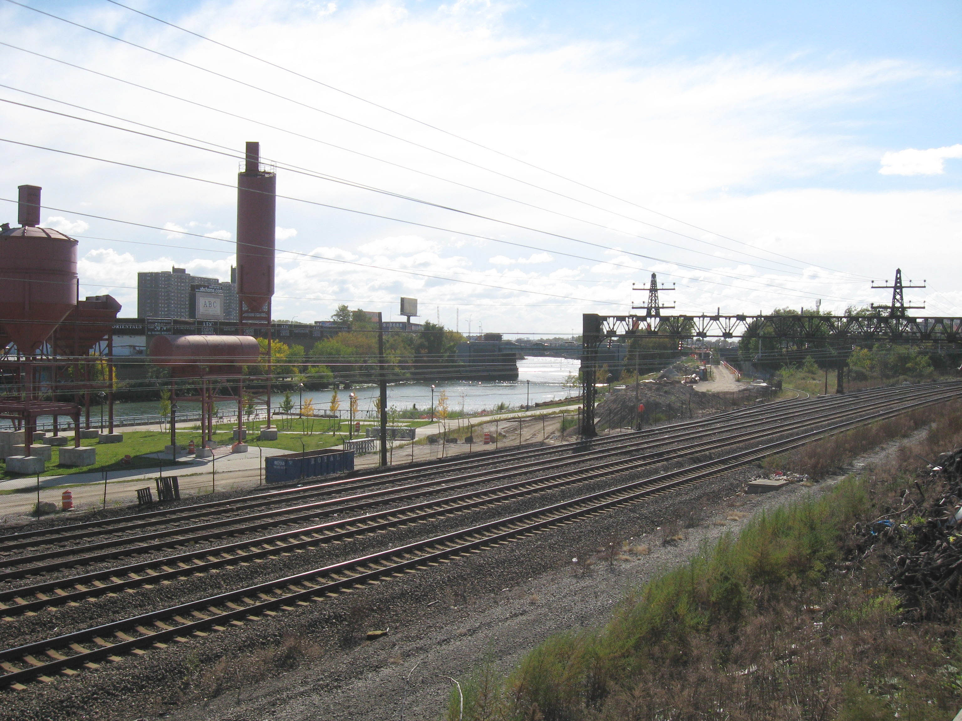
| image | File:Bronx River from Shoelace Park.jpg |
| image_caption | The Bronx River in Shoelace Park, in The Bronx. |
| mapframe | yes |
| mapframe-zoom | 10 |
| mapframe-wikidata | yes |
| mapframe-point | none |
| subdivision_type1 | Country |
| subdivision_name1 | United States |
| subdivision_type2 | State |
| subdivision_name2 | New York |
| subdivision_type3 | Region |
| subdivision_name3 | Hudson Valley |
| subdivision_type4 | Counties |
| subdivision_name4 | Westchester and Bronx |
| subdivision_type5 | Municipalities |
| subdivision_name5 | Mount Pleasant, White Plains, Greenburgh, Scarsdale, |
| Eastchester, Yonkers, Bronx | |
| length | 24 mi |
| discharge1_location | Bronx Botanical Gardens |
| discharge1_max | 3460 cuft/s |
| source1 | Kensico Reservoir |
| source1_location | New Castle |
| source1_coordinates | |
| source1_elevation | 354 ft |
| mouth | East River |
| mouth_location | Hunts Point and Soundview in The Bronx |
| mouth_coordinates | |
| mouth_elevation | 0 ft |
| basin_size | 38.4 sqmi |
| tributaries_right | Troublesome Brook |
| Grassy Sprain Brook |
| mapframe-zoom = 10 | mapframe-wikidata = yes | mapframe-point = none Eastchester, Yonkers, Bronx Grassy Sprain Brook The Bronx River () is a river approximately 24 mi long, flowing through southeastern New York in the United States and draining an area of 38.4 mi2. It is named after colonial settler Jonas Bronck.
It originally rose in what is now the Kensico Reservoir, in Westchester County north of New York City, on a hill about 650 feet above sea level in what is now New Castle, New York. The river originated in an area the Weckquasgeek called Quaropes, which means White Marshes. It was fed by the Fulton Brook, Manhattan Park Brook, Davis Brook, and Tompkins Brook. With the construction of the Kensico Dam in 1885, however, the river was cut off from its natural headwaters and today a small tributary stream originating from the reservoir as its source. The Bronx River flows south past White Plains, then south-southwest through the northern suburbs in New York, passing through Edgemont, Tuckahoe, Eastchester, and Bronxville. In the area known as the Aquehung, it is fed by Harts Brook and the north and south Fox Meadow Brooks. At Tuckahoe, it is fed by Troublesome Brook. At Bronxville, it is fed by Sprain Brook, its longest tributary system, which originates at Greenburgh Town Park.
The river divides Westchester County into eastern and western areas, forming the border between the large cities of Yonkers and Mount Vernon, and flows into the northern end of the Bronx, where it divides East Bronx from West Bronx, southward through Bronx Park, New York Botanical Garden, and the Bronx Zoo and continues through neighborhoods of the South Bronx. It empties into the East River, a tidal strait connected to Long Island Sound, between the Soundview and Hunts Point neighborhoods.
Etymology
Prior to European settlement, the Bronx River Valley was known as Laaphawachking-"the place of stringing lakes."
In the 17th century, the river—called by the natives "Aquehung"—served as a boundary between loosely associated bands under sachems of the informal confederacy of the Wecquaesgeek. Europeanized as the Wappinger, the east bank of the river was the boundary for the Siwanoy, clammers and fishermen. The same line was retained when manors were granted to the Dutch and the English.
The Algonkian significance of the name is variously reported. The acca- element, as represented in the Long Island place-name Accabonac, was deformed into the more familiar, suitably watery European morpheme aque-.
The tract purchased by Jonas Bronck, a Swedish immigrant, in 1639 lay between the Harlem River and the river that came to be called "Bronck's river".
Pollution
During the 19th and 20th centuries, the river became a natural sewer into which industrial waste was poured every day. An early mill on the industrialized river was the Lorillard Snuff Mill, preserved in the grounds of the New York Botanical Garden. With the decline of manufacturing in the area, the river continued to receive water pollution from the communities that lined its banks. In December 1948, flow of the Bronx River was changed to eliminate a curve in its course in Bronxville, to create land on the old riverbed on which to construct an addition to Lawrence Hospital. During the excavations a large sand bar was uncovered where sand had accumulated at the bend over hundreds of years and made a sandy beach.
In the 21st century, environmental groups including the Bronx River Alliance proposed to return the river to its original state as a clean waterway. The river became a favorite project of U.S. Representative José Serrano, who secured US$14.6 million in federal funding to support the rehabilitation of the waterway, into which some Westchester towns continued to discharge raw sewage intermittently, as sanitary sewer overflows, as late as 2006. Under a November 2006, agreement, the municipalities of Scarsdale, White Plains, Mount Vernon and Greenburgh agreed to stop dumping sewage in the Bronx River by May 2007.
Urban runoff pollution continues to be a serious problem for the river. The Bronx River Watershed Coalition, a partnership of local and state agencies, citizen groups and non-profit organizations, have developed watershed management plans to reduce stormwater pollution and improve water quality.
File:Bronx River northern NYBG jeh.jpg|Entering the Botanical Garden File:Lorillard mill river jeh.jpg|Lorillard Snuff Mill
Ecology


Local alewife were released in the river in March 2006. They were taken from a coastal tributary in nearby Connecticut. The alewife spawn in the river's headwaters. Their offspring spend the summer in the river, migrate out to sea in the fall, and in three to five years return, like all anadromous fish, to their spawning grounds. Stocking was repeated annually for the following five years, to build up the new resident population.
The fish, among a group called "river herring," feed low on the food-chain and help reduce eutrophication. Several adult alewife were found below the first dam on the river in April 2009. An analysis revealed they were 3 years old, with the assumption of scientists being that these were descendants of the alewife released 3 years before in March 2006.
The next step will be to erect fish ladders, aka. fish passageways over the 3 dams lowest on the river, allowing the alewife access to a portion of the river with more suitable spawning habitat. In 2015 a fish passageway was built at the 182nd Street dam.
In February 2007 biologists with the Wildlife Conservation Society, which operates the Zoo, spotted a beaver (Castor canadensis) in the river. "There has not been a sighting of a beaver lodge or a beaver in New York City for over 200 years. It sounds fantastic, but one of the messages that comes out of this is if you give wildlife a chance it will come back," said John Calvelli, a spokesman for the Society. The beaver is named Jose Serrano, after the Congressman, and was sighted below the East Tremont bridge at Drew Gardens as recently as June 2009.
Beavers had not lived in New York City since the early 19th century, when trappers extirpated them completely from the state. In the summer of 2010 a second beaver joined Jose, doubling the beaver population in New York City. Beaver were once important to the city's economy. A pair of beaver appear on the city's official seal and flag.
A pod of dolphins visited the river in January 2023.
Recreational amenities
Along much of its length in Westchester County and the northern Bronx the river is paralleled by the Bronx River Parkway. It has a bicycle path from Bronxville to the Kensico Dam plaza. The Bronx River Greenway project proposes a unified management plan for the narrow ribbon of riverside green spaces in the 8 mi in which the river passes through Westchester County and the Bronx, as part of the East Coast Greenway. It includes Concrete Plant Park on the right bank, below Westchester Avenue and Starlight Park above there. Construction on the Bronx River Greenway started in October 2016.
In the South Bronx, the river has become a popular destination for urban canoeing in New York City. It bisects Bronx Park and the Bronx Zoo. A monorail built in the late 20th century takes zoo visitors over the river to an exhibit of Asian animals on the left bank, with a narration presenting the river as the Irrawaddy.
Shoelace Park is a one-mile long linear park on the east bank of the Bronx River, from 211th to 231st Street in the Wakefield and Williamsbridge areas of the Bronx. Officially named Bronx River Park, it is more commonly known as Shoelace Park because of its shape. The park was renovated in 2020 to create bicycle and pedestrian paths over what was the original roadbed of the Bronx River Parkway. A small pier at 219th street provides access to the river for canoes and kayaks.
Waterfalls, culverts, storm water outfalls, and inlets
The fragmentation of the Bronx River by dams has eliminated diadromous species from the river system, and as human development has progressed across the Bronx river, historic fish migration routes have been severed. Several identified blockages, according to a 2004 NYC Parks report, include the 182nd Street Dam, the Bronx Zoo Dam, the Snuff Mill Dam, and the Westchester dams. As a result of these long term blockages, NYC parks did not expect fish to return to these migration routes, requiring the release of fish in historical spawning areas after fish passage remediation. In 2011, New York City parks began the process of adding a 1.5 million passage to Bronx Park, which is adjacent to the Bronx River. The project, including dam repair in addition to construction of the fish ladder, was slated to be one of three fish ladders that were to be installed across the Bronx River.
Restoration programs based on fishway construction and hatcheries may have sustained remnant populations, but large-scale restoration has not been achieved.
This is a partial listing, listed north to south:
- Inlet. Just south of Butler Road, Scarsdale
- Waterfall. Across from Brayton Road, north of the Hartsdale MetroNorth Station
- Waterfall. Across from Olmstead Road, north of the Scarsdale MetroNorth Station
- Waterfall. Scarsdale MetroNorth Station
- Storm water outfall. West side of river.
- Storm water outfall. East side of river.
- Waterfall. Just north of Tuckahoe MetroNorth Station
- Waterfall. Lillian and Amy Goldman Stone Mill AKA The Old Snuff Mill. As of 2015 there are plans to build a fish passage here.
- Waterfall. (Bronx Zoo Dam) Opposite Mitsubishi Riverwalk. As of 2015 there are plans to build a fish passage here.
- Waterfall. 182nd Street As of 2015 a fish passage exists at this dam.
References
References
- "USGS 01302020 BRONX RIVER AT NY BOTANICAL GARDEN AT BRONX NY". USGS.
- "USGS 01302020 BRONX RIVER AT NY BOTANICAL GARDEN AT BRONX NY". USGS.
- "Kensico Reservoir". New York State Department of Environmental Conservation.
- "Soil Survey of Bronx River Watershed Bronx, New York". USDA.
- William Lawyer, Elizabeth Betts Leckie. ''Bronx River Retrospective: 300 Years of Life Along the Bronx River Valley''. Greenburgh Nature Center, Scarsdale Historical Society, 1983, 2.
- Lawyer, Leckie, 4.
- (Lawyer, Leckie, 5).
- {{usurped
- Ruttenber, Edward Manning. (1906). "Footprints of the red men. Indian geographical names in the valley of Hudson's river, the valley of the Mohawk, and on the Delaware: their location and the probable meaning of some of them". [Newburgh, N.Y., Newburgh journal print.
- "Bronx River Parkway Highlights - Bronx River : NYC Parks".
- Lawyer and Leckie spell it "Aquahung" and define it as "fast stream flowing along a high bluff.", p. 4.
- "...a certain Tract of land bounded on the east by the river Aquehung or Bronxkx to the midst of the river..." is part of the description of the tract called [[West Farms, Bronx. West Farms]] in an agreement of March 12, 1663, signed by nine sachems and Edward Jessup and John Richardson, quoted in A. Hatfield Jr., "Early Settlers of West Farms", ''New York Genealogical and Biographical Record'' (1913), reprint p.4f.
- link. (March 27, 2009 Accessed February 26, 2009.)
- "Cuomo Announces 5 Major Water Pollution Settlements: Over $8 Million To Be Used For Water Protection". New York Attorney General.
- Westchester County Department of Planning, White Plains, NY. [http://www.westchestergov.com/Planning/environmental/BronxRiver/BronxRiverPlan.htm "Bronx River Watershed Coalition."] Accessed February 27, 2009.
- link. (September 29, 2007 ''The Daily Plant'' (newsletter). March 28, 2006.)
- (April 9, 2009). "Parks Finds Alewife In Bronx River For First Time Since 1600s". New York City Department of Parks and Recreation.
- Berger, Joseph. (August 7, 2009). "Herring Return to the City, With Sex in Mind". The New York Times.
- Anahad O'Connor. (February 23, 2007). "After 200 Years, a Beaver Is Back in New York City". The New York Times.
- (December 20, 2008). "New York City Beaver Returns". Science Daily.
- Trotta, Daniel. {{usurped
- Design Trust for Public Space. (June 17, 2009). "Bronx River Crossing".
- Peter Miller. (Sep 2009). "Manhattan Before New York: When Henry Hudson first looked on Manhattan in 1609, what did he see?". National Geographic.
- Barry Paddock. (September 19, 2010). "Another beaver makes Bronx River home — doubles total beaver population". New York Daily News.
- Bronx River Alliance. (2023-01-18). "Dolphins".
- [http://www.nycgovparks.org/park-features/concrete-plant-park/planyc Concrete Plant Park] NYC Parks Dept.
- Wachs, Audrey. (October 10, 2016). "$40 million Bronx River Greenway expansion breaks ground".
- "Bronx Zoo Monorail Rehabilitation".
- "Press Releases : NYC Parks".
- "About BXCB12 - Bronx Community Board 12".
- "Press Releases : NYC Parks".
- "New York City Water Trail : New York City Department of Parks & Recreation : NYC Parks".
- "Restoration Projects Anadromous Fish Reintroduction". New York City Department of Parks and Recreation.
- "Bronx River - DEP". New York City Department of Environmental Protection.
- (March 2004). "Phase 1 Final Report Fish Passage Needs and Feasibility Assessment".
- "Bronx Park Anadromous Fish Passage Reconstruction".
- (January 2015). "Final Report on Fish Passage Construction at the East 182nd Street Dam, Bronx River".
- (2013). "Fish and hydropower on the U.S. Atlantic coast: failed fisheries policies from half-way technologies". Society for Conservation Biology.
- "No Title".
- "No Title".
- "No Title".
- "No Title".
- "No Title".
- "No Title".
- "No Title".
- (2016). "Hidden Water of New York City". The Countryman Press.
- (August 28, 2010). "The Old Snuff Mill By Bronx River Alliance August 28, 2010". Bronx River Alliance.
- (January 2015). "Final Report on Fish Passage Construction at the East 182nd Street Dam, Bronx River". New York City Department of Parks and Recreation.
- (September 30, 2014). "Bronx Zoo and Stone Mill Diadromous Fish Passage Final Designs Final Report". New York City Department of Parks and Recreation Division of Forestry, Horticulture and Natural Resources Natural Resources Group.
- "No Title".
- (2016). "Hidden Water of New York City". The Countryman Press.
This article was imported from Wikipedia and is available under the Creative Commons Attribution-ShareAlike 4.0 License. Content has been adapted to SurfDoc format. Original contributors can be found on the article history page.
Ask Mako anything about Bronx River — get instant answers, deeper analysis, and related topics.
Research with MakoFree with your Surf account
Create a free account to save articles, ask Mako questions, and organize your research.
Sign up freeThis content may have been generated or modified by AI. CloudSurf Software LLC is not responsible for the accuracy, completeness, or reliability of AI-generated content. Always verify important information from primary sources.
Report