From Surf Wiki (app.surf) — the open knowledge base
Black Forest, South Australia

| Field | Value |
|---|---|
| type | suburb |
| name | Black Forest |
| city | Adelaide |
| state | sa |
| image | ForestAveReserve.jpg |
| caption | Forest Avenue Reserve |
| alternative_location_map | Australia SA inner Adelaide |
| pushpin_map_caption | Location in greater metropolitan Adelaide |
| coordinates | |
| local_map | yes |
| zoom | 12 |
| pop | |
| est | 1850 |
| postcode | 5035 |
| area | 1.63 |
| dist1 | 4.7 |
| dir1 | SW |
| location1 | Adelaide city centre |
| lga | City of Unley |
| stategov | Badcoe |
| fedgov | Boothby |
| near-n | Everard Park and Forestville |
| near-ne | Forestville |
| near-e | Millswood |
| near-se | Clarence Park |
| near-s | Clarence Park |
| near-sw | Edwardstown |
| near-w | Glandore |
| near-nw | Glandore |
| near-n = Everard Park and Forestville | near-ne = Forestville | near-e = Millswood | near-se = Clarence Park | near-s = Clarence Park | near-sw = Edwardstown | near-w = Glandore | near-nw = Glandore


Black Forest is an inner southern suburb of Adelaide, South Australia. It is located in the City of Unley, bounded by the Glenelg tram line (north-west), the Seaford railway line (south-east), South Road (west) and East Avenue (east).
History
:"A dense area of bush known as the Black Forest ('Kertaweeta' in Kuarna) once covered the Unley region of the Adelaide Plains. The woodland forest was a mix of grey-box, blue gum, red gum, native pines and sheoak trees, with grass trees, native grasses and orchids. These plants had deep roots that held the soil together and the plant debris that fell on the earth decomposed releasing nutrients into the soil."
In the early years of colonial settlement, the Black Forest was supposedly "frequented by bush rangers and cattle thieves".
There have been three Post Offices named Black Forest: the first opened on 1 September 1899 and was renamed Glandore in 1915, the second opened on 10 November 1947 and was renamed Clarence Park West in 1966, and the third, located on South Road between Byron and Cowper Roads, opened on 8 January 1996.
Demographics
The 2006 Census by the Australian Bureau of Statistics counted 1,846 persons in Black Forest on census night. Of these, 47.2% were male and 52.8% were female.
The majority of residents (79.0%) are of Australian birth, with other common census responses being England (3.1%) and Greece (2.3%).
Facilities and attractions
Schools
Black Forest Primary School opened in 1919. It is located off South Road and School Avenue, between Forest Avenue and Addison Road. The east end of the school grounds are adjacent to the "Forest Avenue Reserve".
Parks
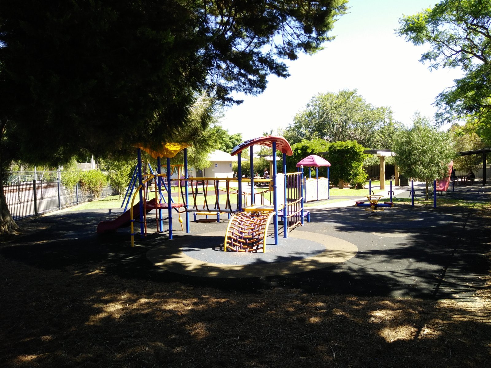
The Forest Avenue Reserve is located on Forest Avenue near the centre of the suburb. There is another small park, the Princess Margaret Playground, at the east end of Byron Road.
Uniting Church History Centre
The Uniting Church History Centre is based in the former Church of Christ building on East Avenue.
Community Centre
The Clarence Park Community Centre is located in the Institute Building and surrounding buildings on the corner of East Avenue and Canterbury Terrace. The centre includes a childcare facility and a men's shed.
Transport
Roads
Black Forest is serviced by South Road, and to a lesser degree by East Avenue.
Public transport
Black Forest is serviced by three tram stops, two train stations and buses on East Avenue and South Road. All services are run by the Adelaide Metro.
Tram_stop
Image:South rd crossover, black forest.jpg|South Road overpass over Cross Road, looking south File:TransAdelaide train at Emerson Crossing, Adelaide.jpg|South Road overpass over Cross Road, looking west File:SouthRoadTramOverpass.jpg|South Road Tram Overpass File:Everard park crossing.jpg|South Road Tram level crossing - prior to the overpass File:Clarence Park railway station.JPG|Clarence Park railway station File:Emerson Railway Station.JPG|Emerson railway station
References
References
- "How Unley Developed". City of Unley.
- "Black Forest, South Australia (Adelaide)". Postcodes-Australia.com.
- (2009). "Adelaide and surrounds street directory". UBD.
- [http://www.unley.sa.gov.au/council-administration/our-city Our city], City of Unley
- Tim Bowden. (9 October 2013). "The A-Z story of the history behind Adelaide's suburbs". The Advertiser.
- Premier Postal History. "Post Office List". Premier Postal Auctions.
- {{Census 2006 AUS
- "The Manning Index of South Australian History". State Library of South Australia.
- "Australian Schools Directory". Australian Schools Directory.
- [http://community.history.sa.gov.au/uniting-church-historical-society Uniting Church History Centre], community.history.sa.gov.au
- [https://sacommunity.org/org/201146-Clarence_Park_Community_Centre Clarence Park Community Centre], sacommunity.org
- [http://www.unley.sa.gov.au/culture-recreation/community-centres Community Centres], City of Unley
- (12 January 2011). "Public Transport in Adelaide". Dept. for Transport, Energy and Infrastructure, Public Transport Division.
This article was imported from Wikipedia and is available under the Creative Commons Attribution-ShareAlike 4.0 License. Content has been adapted to SurfDoc format. Original contributors can be found on the article history page.
Ask Mako anything about Black Forest, South Australia — get instant answers, deeper analysis, and related topics.
Research with MakoFree with your Surf account
Create a free account to save articles, ask Mako questions, and organize your research.
Sign up freeThis content may have been generated or modified by AI. CloudSurf Software LLC is not responsible for the accuracy, completeness, or reliability of AI-generated content. Always verify important information from primary sources.
Report