From Surf Wiki (app.surf) — the open knowledge base
Bayonville
_France.jpg)
| Field | Value |
|---|---|
| name | Bayonville |
| commune status | Commune |
| image | Bayonville 05.JPG |
| caption | Bayonville village |
| arrondissement | Vouziers |
| canton | Vouziers |
| INSEE | 08052 |
| postal code | 08240 |
| mayor | Philippe Etienne |
| term | 2020–2026 |
| intercommunality | Argonne Ardennaise |
| coordinates | |
| elevation m | 245 |
| elevation min m | 181 |
| elevation max m | 305 |
| area km2 | 16.19 |
| population | |
| population date | |
| population footnotes |
Bayonville is a commune in the Ardennes department in the Grand Est region of northern France.
The inhabitants of the commune are known as Bayonvillois or Bayonvilloises.
Geography
Bayonville is located some 40 km south by south-east of Charleville-Mézières and 15 km south-west of Stenay. Access to the commune is by the D12 road from Buzancy in the north-west which passes through the centre of the commune and the village and continues south-east to Bantheville - changing to the D15 at the departmental border. Another D15 comes from Tailly in the north-east and goes south through the commune and the village continuing to Imécourt in the south-west. The D55 goes south from the village to Landres-et-Saint-Georges. Apart from the village there are the hamlets of Chennery and Landreville. The commune is mostly farmland with some forest in the east and north.
The Agron river flows through the south-east of the commune from north-east to south-west where it continues a meandering path to join the Aire south-west of Saint-Juvin. The Ruisseau du Wassieux flows south-west through the commune and continues south-west to join the Agron near Imécourt. The Furba rises in the north-east of the commune and flows south-west to join the Agron at Landreville.
Toponymy
Bayonville was attested in the Latinised form Baionis villa in 960. The derivation is undoubtedly from the "Domain of Baio", a Germanic personal name (cf. Bayonvillers)
Bayonville appears as Bayonville on the 1750 Cassini Map and the same on the 1790 version.
History
In 1828 the communes of Chennery and Landreville were merged with the commune of Bayonville. In 1864 Landreville had 80 inhabitants.
Administration
List of Successive Mayors
| From | To | Name |
|---|---|---|
| 1995 | 2026 | Philippe Etienne |
Demography
In 2017 the commune had 99 inhabitants.
| graph-pos = bottom |1793 |360 |1800 |412 |1806 |403 |1821 |364 |1831 |545 |1836 |537 |1841 |512 |1846 |521 |1851 |529 |1866 |489 |1872 |453 |1876 |464 |1881 |418 |1886 |392 |1891 |397 |1896 |380 |1901 |337 |1906 |330 |1911 |315 |1921 |220 |1926 |234 |1931 |227 |1936 |219 |1946 |200 |1954 |214 |1962 |223 |1968 |200 |1975 |171 |1982 |142 |1990 |127 |1999 |106 |2007 |116 |2012 |100 |2017 |99
Culture and heritage
_France.jpg)
_France.jpg)
_France.jpg)
Civil heritage
- The Chateau of Landreville (1567) is registered as an historical monument. The interior decor (16th century) is registered as an historical object.
Religious heritage
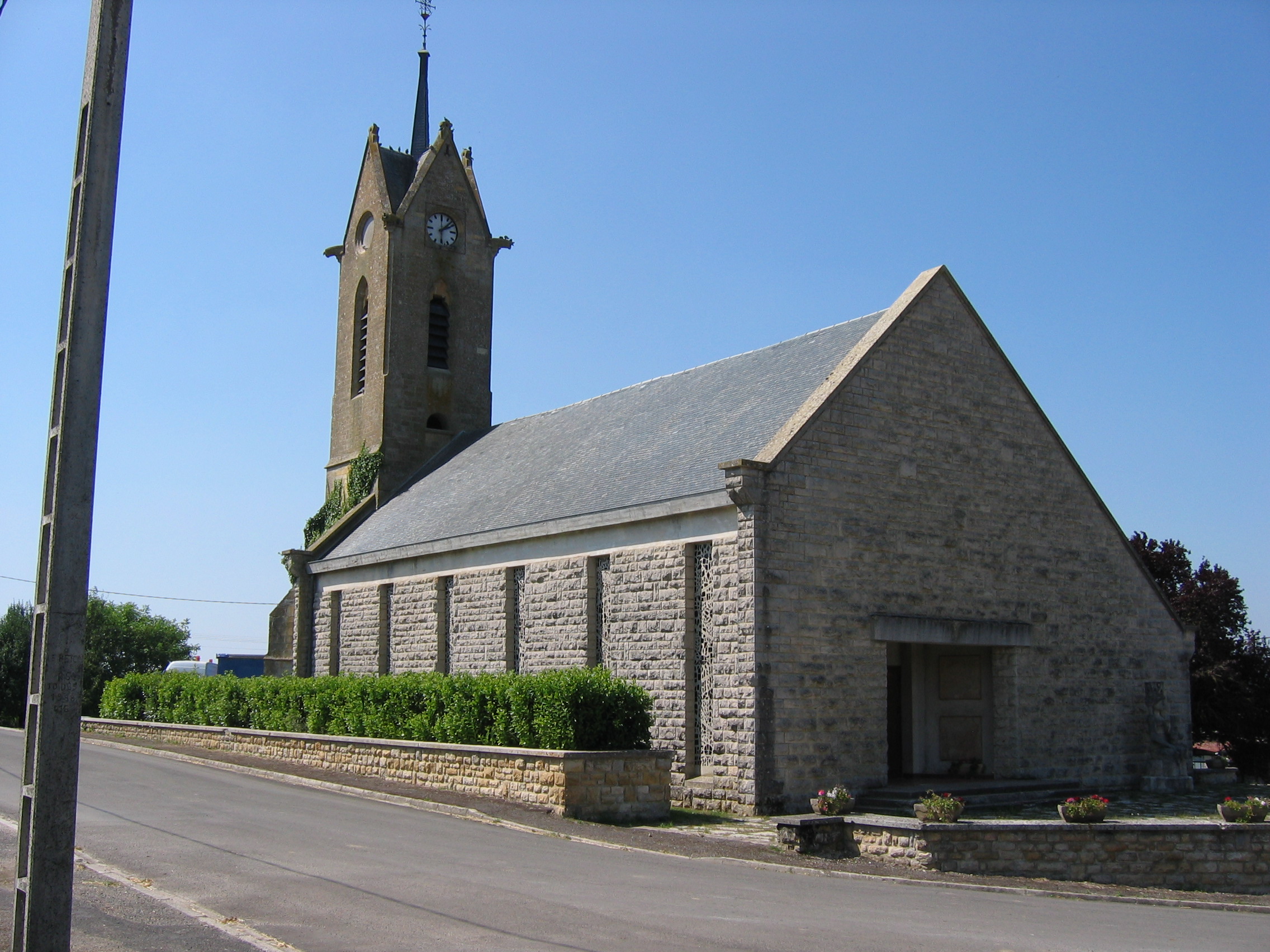
- Bayonville Church
Notable people linked to the commune
- Claude-François de Maillard first Marquis of Landreville in 1760
References
References
- (13 September 2022). "Répertoire national des élus: les maires". data.gouv.fr, Plateforme ouverte des données publiques françaises.
- [https://www.insee.fr/fr/metadonnees/geographie/commune/08052-bayonville INSEE commune file]
- [http://www.habitants.fr/ardennes-08 Inhabitants of Ardennes] {{in lang. fr
- fr
- {{Cassini-Ehess. 3037. Bayonville
- [https://www.insee.fr/fr/statistiques/4515315?geo=COM-08052#ancre-POP_T1 Population en historique depuis 1968], INSEE
- Ministry of Culture, Mérimée {{Mérimée. PA08000001. PA08000001 Chateau of Landreville {{in lang. fr
- Ministry of Culture, Palissy {{Palissy. PM08000685. PM08000685 Interior Decor {{in lang. fr
- [https://www.google.com/maps/place/Bayonville,+France/@49.3967,5.0064,14z Bayonville on Google Maps]
- National Geographic Institute]] (IGN) website {{in lang. fr
- [http://rumsey.geogarage.com/maps/cassinige.html?lat=49.3967&lon=5.0064&zoom=13 ''Bayonville'' on the 1750 Cassini Map]
- [http://rumsey.geogarage.com/maps/clipmosaiccassini400.html?lat=49.3967&lon=5.0064&zoom=12 ''Bayonville'' on the 1790 Cassini Map]
This article was imported from Wikipedia and is available under the Creative Commons Attribution-ShareAlike 4.0 License. Content has been adapted to SurfDoc format. Original contributors can be found on the article history page.
Ask Mako anything about Bayonville — get instant answers, deeper analysis, and related topics.
Research with MakoFree with your Surf account
Create a free account to save articles, ask Mako questions, and organize your research.
Sign up freeThis content may have been generated or modified by AI. CloudSurf Software LLC is not responsible for the accuracy, completeness, or reliability of AI-generated content. Always verify important information from primary sources.
Report