From Surf Wiki (app.surf) — the open knowledge base
Baram River
River in Sarawak, Malaysia
River in Sarawak, Malaysia
| Field | Value |
|---|---|
| name | Baram River |
| native_name | ms |
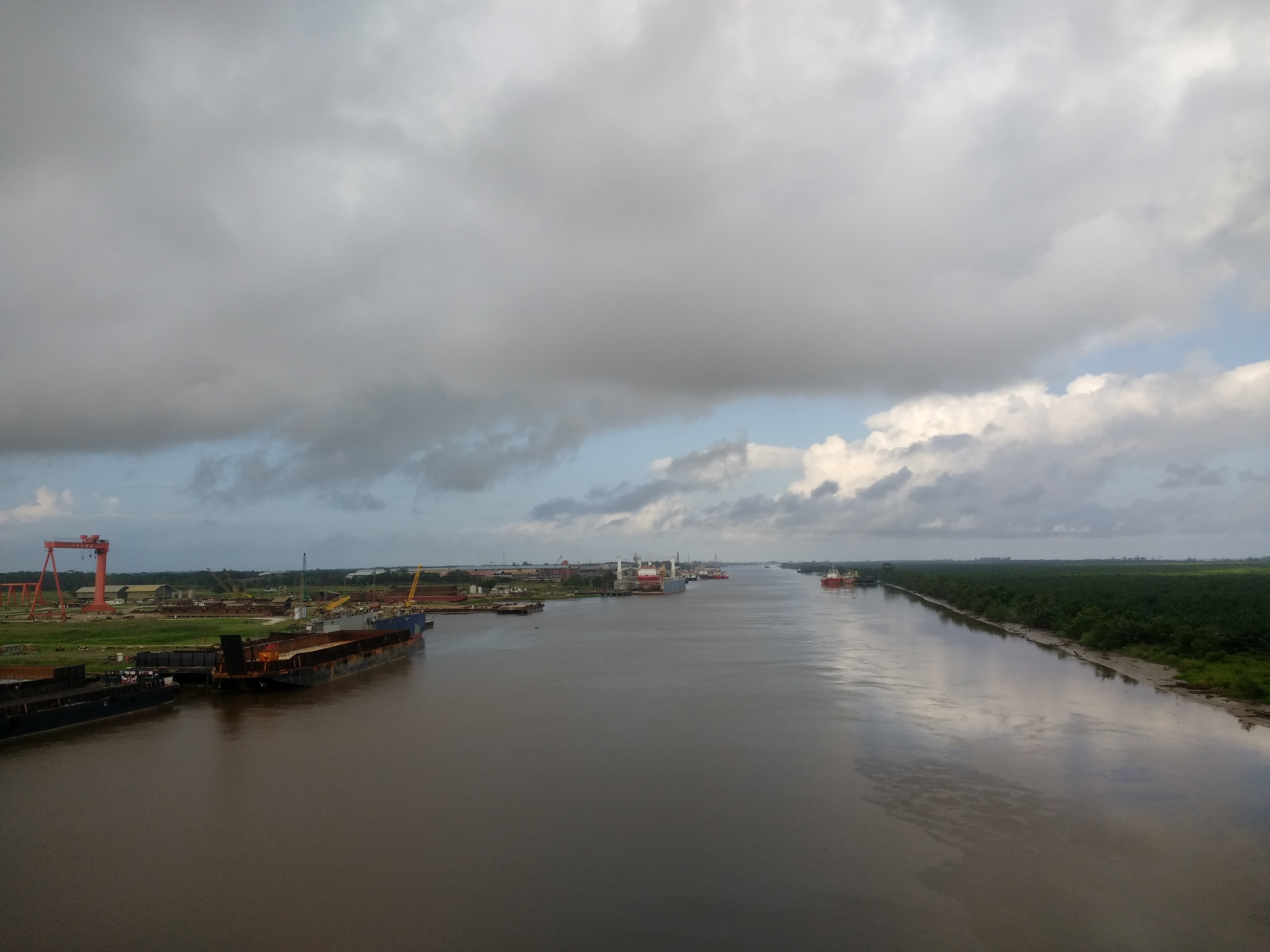
| image | Mündung des Baram.jpg |
| image_caption | Mouth of Baram river with black water plume |
| source1 | Kelabit Highlands |
| source1_location | Confluence of Kelapang and Dappur Rivers |
| source1_elevation | 710 m |
| source1_coordinates | |
| source2 | Kelapang River |
| source2_elevation | 1,490 m |
| source2_coordinates | |
| source3 | Dappur River |
| source3_elevation | 1,085 m |
| source3_coordinates | |
| mouth | South China Sea |
| mouth_location | at Miri into South China Sea |
| mouth_coordinates | |
| mouth_elevation | 0 m |
| subdivision_type1 | Country |
| subdivision_name1 | Malaysia |
| progression | South China Sea |
| river_system | Baram River |
| length | Baram–Kelapang 635 km |
| discharge1_location | Baram Delta |
| discharge1_avg | 58.21 km3/year |
| basin_size | 22,325 km2 |
| tributaries_left | Kelapang, Tutoh, Temala, Pelutan, Patah, Akah, Buang, Selaan, Serungo |
| tributaries_right | Dappur, Arang, Tinjar, Julan, Silat, Moh |
The Baram River () is a river in Sarawak on the island of Borneo. The river originates in the Kelabit Highlands, a watershed demarcated by the Iran Mountains of East Kalimantan, which form a natural border with Sarawak.
Geography
The Baram river basin, an area of some 22,325 km2, has been part of Sarawak since it was ceded to the White Rajah of Sarawak by the then sultan of Brunei in 1882, for a perpetual annual payment of 6,000 dollars.
The river flows westwards through tropical rainfores (Köppen climate classification Af type) to the South China Sea. The Baram catchment receives around 3,800 mm of rainfall per year. The Baram River terminates in a delta, which is subdivided into two units: East Barma Delta of Middle-Late Miocene age and West Baram Delta of Late Miocene-Quaternary age. The western unit is composed of mudstones enriched in organic components (total organic carbon content is more than 1.0 wt.%) which constitute substantial oil and gas reserves.
The river is crossed not far from its mouth by the Miri-Baram Highway, Federal Route 22, on the Batang Baram Bridge opened in 2003. Some 100 km upstream lies the town of Marudi.
Etymology
Batang (meaning "trunk" in Malay) is the name used for the main river in the river system such as "Batang Baram" (Baram river). For upriver areas, such as the areas surrounding the headwaters, the place is named as "Ulu" (which means "upriver"). For example, "Ulu Baram" is the upriver part of the Baram river. "Long" meaning "confluence" is used by the Orang Ulu (upriver people). It is used to name the places located at the confluence between the smaller tributaries and the major river, same way as the Malay usage of the name "Kuala" (meaning river delta). The name "Pa'" (meaning "village") is exclusively used in the Kelabit Highlands such as "Pa Umor" village in Bario.
History
The Baram river flood happened in May 1962.
References
References
- "FREQUENCY ANALYSIS OF RIVER FLOW IN SABAH AND SARAWAK".
- "Japan International Cooperation Agency".
- Prabakaran, Krishnamurthy. (2017). "Environmental Geochemistry of the Lower Baram River, Borneo".
- Ministry of Natural Reserves and Environment, Malaysia: [http://www.water.gov.my/images/Hidrologi/NationalWaterResourcesStudy/Vol20Sarawak.pdf National Water Resources Study, Vol. 29 - Sarawak]{{Dead link. (June 2019)
- [http://explorion.net/ch.hose-w.mcdougall-pagan-tribes-borneo-1/page-228.html The Pagan Tribes of Borneo, retrieved 22-05-2007] {{webarchive. link. (September 28, 2007)
- Reed L. Wadley. (2005). "Histories of the Borneo Environment". KITLV Press.
- [http://www.geol.lsu.edu/WDD/ASIAN/Baram/baram.htm Louisiana State University]
- Eric, Tilman. "Kalimantan-Borneo".
- Hutchison, Charles. (2005). "Geology of North-West Borneo: Sarawak, Brunei and Sabah". Elsevier.
- Togunwa, Olayinka. (2017-08-10). "Geochemical characterization of Neogene sediments from onshore West Baram Delta Province, Sarawak: paleoenvironment, source input and thermal maturity". Open Geosciences.
- (15 June 2014). "处处垃圾 影响环境 美里河污染严重 (Garbage everywhere Miri River environmental pollution)". Xinhua Daily (Shihua News).
- "Sarawak place names". [[Rough Guides]].
- "Recorded Flood Events in Sarawak (1946 - 1996)". Sarawak Drainage and Irrigation Department.
This article was imported from Wikipedia and is available under the Creative Commons Attribution-ShareAlike 4.0 License. Content has been adapted to SurfDoc format. Original contributors can be found on the article history page.
Ask Mako anything about Baram River — get instant answers, deeper analysis, and related topics.
Research with MakoFree with your Surf account
Create a free account to save articles, ask Mako questions, and organize your research.
Sign up freeThis content may have been generated or modified by AI. CloudSurf Software LLC is not responsible for the accuracy, completeness, or reliability of AI-generated content. Always verify important information from primary sources.
Report