From Surf Wiki (app.surf) — the open knowledge base
Banneville-sur-Ajon
| Field | Value |
|---|---|
| name | Banneville-sur-Ajon |
| image | FranceNormandieBannevilleSurAjonChapelleSaintClair.jpg |
| caption | The Chapel of Saint Clair |
| arrondissement | Vire |
| canton | Les Monts d'Aunay |
| INSEE | 14037 |
| postal code | 14260 |
| commune | Malherbe-sur-Ajon |
| coordinates | |
| elevation m | 141 |
| elevation min m | 84 |
| elevation max m | 184 |
| area km2 | 5.63 |
| population | 438 |
| population date | 2019 |
| population footnotes |
Geography
Banneville-sur-Ajon is located some 20 km south-west of Caen and 7 km south-east of Villers-Bocage. Access to the commune is by the D121A from Saint-Agnan-le-Malherbe in the south which passes through the centre of the commune and the village and continues north to join the D8. The D171 from Landes-sur-Ajon to Préaux-Bocage passes through the north-east of the commune. Apart from the village there are the hamlets of La Fêterie in the south and Gournay in the north. The commune is almost all farmland.
The Ajon river flows through the commune from south-east to north-west continuing to join the Odon south-west of Le Locheur. The Orgeuil river rises in the south of the commune and flows north-east through the length of the commune to join the Ajon. The Ruisseau de la Rette flows from the south to join the Orgeuil.
Toponymy
Banneville-sur-Ajon was Barneville sur Ajon in 1371. René Lepelley attributed the origin of the name to the Germanic anthroponym Benno with the Old French suffix -ville meaning "rural domain".
Administration
List of Successive Mayors
| From | To | Name |
|---|---|---|
| 1995 | 2001 | Jacques Vahe |
| 2001 | 2014 | Annick Viel-Schneider |
| 2014 | 2016 | Marcel Pétré |
Demography
The inhabitants of the commune are known as Bannevillais or Bannevillaises in French.
|1793 |508 |1800 |530 |1806 |524 |1821 |475 |1831 |441 |1836 |458 |1841 |439 |1846 |414 |1851 |412 |1856 |406 |1861 |380 |1866 |375 |1872 |362 |1876 |354 |1881 |362 |1886 |347 |1891 |331 |1896 |314 |1901 |315 |1906 |290 |1911 |273 |1921 |255 |1926 |259 |1931 |243 |1936 |265 |1946 |233 |1954 |243 |1962 |216 |1968 |211 |1975 |224 |1982 |346 |1990 |360 |1999 |389 |2007 |394 |2012 |383
Sites and monuments
- The Chapel of Saint-Clair (13th century) is registered as an historical monument. The church is built on a simple rectangular plan. On the tympanum of the south portal there is a figure in bas-relief of Saint Samson on his throne, and inside is a statue of Saint Clair.
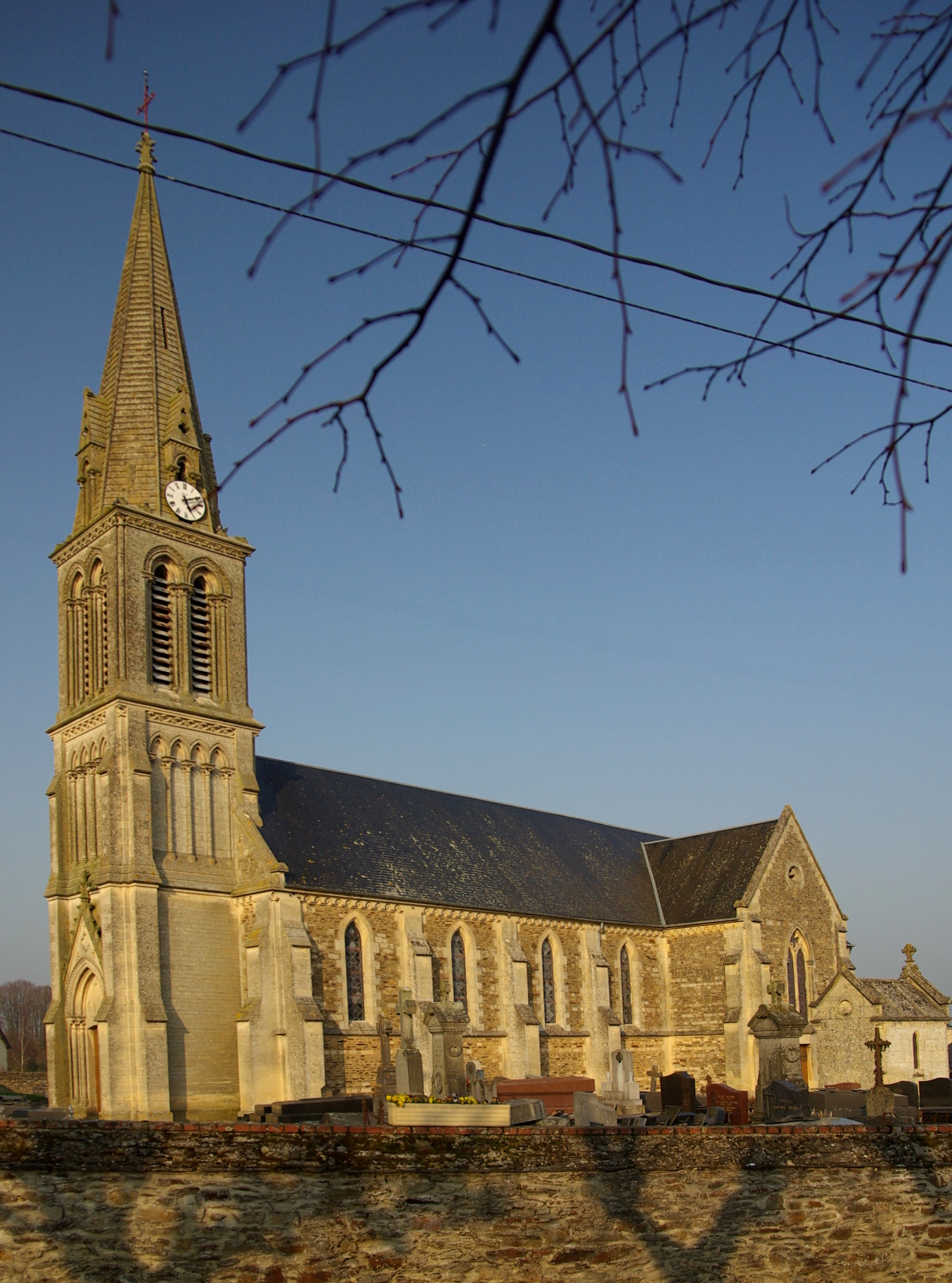
- The Church of Saint-Melaine is in neo-Gothic style from the late 19th century.
- A replica of the grotto of Lourdes was built at a place called Le Village at the end of the Second World War.
Chapel Picture Gallery
File:BannevillesurAjon 002.JPG|The Chapel of Saint Clair File:Chapelle-saint-clair 8.jpg|A Detail in the Chapel File:Chapelle-saint-clair 4.jpg|The Chapel File:Chapelle-saint-clair 3.jpg|Detail on the Chapel File:Chapelle-saint-clair 9.jpg|The door handle of the Chapel
References
References
- [https://www.insee.fr/fr/statistiques/fichier/6011070/ensemble.pdf Téléchargement du fichier d'ensemble des populations légales en 2019], [[Institut national de la statistique et des études économiques. INSEE]]
- [https://www.legifrance.gouv.fr/eli/arrete/2015/12/9/INTB1600513A/jo/texte Arrêté préfectoral] 9 December 2015 {{in lang. fr
- [https://www.google.com/maps/place/Banneville-sur-Ajon,+France/@49.059794,-0.565202,14z/data=!3m1!4b1!4m2!3m1!1s0x480a49b5d27ea9a3:0x7e8fa8d8ab651863 Google Maps]
- Albert Dauzat and Charles Rostaing, ''Etymological Dictionary of place names in France'', Larousse, Paris, 1963 {{in lang. fr
- René Lepelley, ''Etymological Dictionary of names of communes in Normandy'', Éditions Charles Corlet, Condé-sur-Noireau, 1996, BnF 36174448w, p. 58 {{in lang. fr
- fr
- [https://www.habitants.fr/calvados-14 Le nom des habitants du 14 - Calvados], habitants.fr
- {{Cassini-Ehess. 2571. Banneville-sur-Ajon
- [https://www.insee.fr/fr/statistiques/2123878?geo=COM-14037 Populations légales 2012], INSEE
- Ministry of Culture, Mérimée {{Mérimée. PA00111031. PA00111031 Chapel of Saint-Clair {{in lang. fr
This article was imported from Wikipedia and is available under the Creative Commons Attribution-ShareAlike 4.0 License. Content has been adapted to SurfDoc format. Original contributors can be found on the article history page.
Ask Mako anything about Banneville-sur-Ajon — get instant answers, deeper analysis, and related topics.
Research with MakoFree with your Surf account
Create a free account to save articles, ask Mako questions, and organize your research.
Sign up freeThis content may have been generated or modified by AI. CloudSurf Software LLC is not responsible for the accuracy, completeness, or reliability of AI-generated content. Always verify important information from primary sources.
Report