From Surf Wiki (app.surf) — the open knowledge base
Badulla District
| Field | Value |
|---|---|
| name | Badulla District |
| native_name | |
| බදුල්ල දිස්ත්රික්කය | |
| பதுளை மாவட்டம் | |
| type | Administrative District |
| image_skyline | Tea plantation Haputale.jpg |
| image_caption | Tea plantation in Haputale |
| image_map | Sri Lanka districts Badulla.svg |
| image_map1 | Badulla district AM.jpg |
| map_caption1 | Map of Badulla district showing its administrative areas |
| map_caption | Map of Sri Lanka with Badulla District highlighted |
| coordinates | |
| subdivision_type | Country |
| subdivision_name | Sri Lanka |
| subdivision_type1 | Province |
| subdivision_name1 | Uva Province |
| parts_type | Divisions |
| parts_style | list |
| p1 | Divisional Secretariats: |
| p2 | Grama Niladhari: |
| established_title | Created |
| seat_type | Largest City |
| seat | Badulla |
| leader_title | District Secretary |
| leader_name | P.S.P.Abeywardhane |
| unit_pref | Metric |
| area_total_km2 | 2,861 |
| population_total | 871763 |
| population_as_of | 2024 |
| population_density_km2 | auto |
| blank_name | Languages |
| blank_info | Sinhala, Tamil, English |
| timezone1 | Sri Lanka |
| utc_offset1 | +05:30 |
| iso_code | LK-81 |
| website | http://www.badulla.dist.gov.lk/index.php/en/ds.gov.lk/dist_badulla |
බදුල්ල දිස්ත්රික්කය
பதுளை மாவட்டம்

.jpg)
Badulla District ( badūlla distrikkaya; Patuḷai māvaṭṭam) is a district in Uva Province, Sri Lanka. The entire land area of the Badulla district is 2,861 sqkm and has a total population of 871763 as of 2024. The district is bounded by the Kandy district to the North and by Nuwara Eliya and Matale districts to the West. The South-Eastern border creates with the districts of Rathnapura,Monaragala & Ampara. Mainly the economy of the district is based on agricultural farming and livestock.
Badulla District is an agricultural district where tea and various vegetables are cultivated. The district is divided into an upper region and a lower region which differ in climatic and geographic characteristics. The upper region of the district is known for tea plantations and vegetable cultivation while the lower region focuses more on paddy farming.
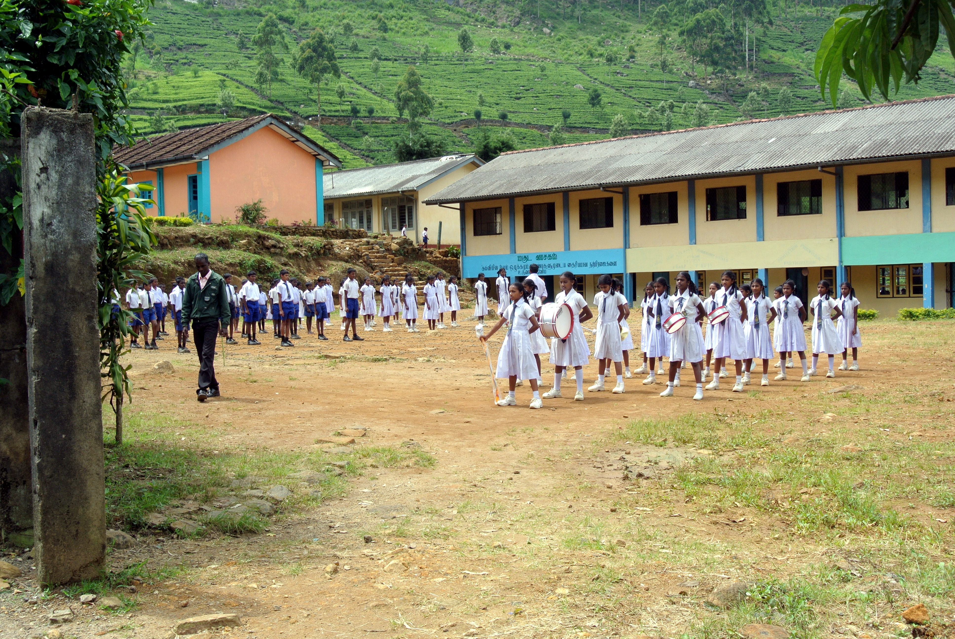
Education
Universities
- Uva Wellassa University
Schools
Bandarawela
- Bandarawela Central College
- S. Thomas' College, Bandarawela
- St.Joseph's college
- Bandarawela Tamil Central College Badulla
- Dharmadutha College
- Uva College
- Badulla Central College
- Vishaka Girls High School
- Viharamahadevi Girls School
Mahiyanganaya
- Mahiyanganaya National school
Passara
- Passara National College
- Passara Tamil Maha Vidyalayam National College
- Sri Ramakrishna College
- Al Adhan Maha Vidyalaya
- Barathy Maha Vidyalayam
- Tamils Girls maha vidyalayam
- Gonakelle Tamil Maha Vidiyalayam
welimada
- Welimada Central Collage
Electorate divisions in Badulla District
- Badulla
- Bandarawela
- Hali-Ela
- Haputale
- Mahiyanganaya
- Passara
- Uva-Paranagama
- Welimada
- Wiyaluwa
Major cities
- Badulla (Municipal Council)
- Bandarawela (Municipal Council)
Major towns
- Haputale (Urban Council)
Other places
- Mahiyanganaya
- Diyatalawa
- Hali-Ela
- Ella
- Haldummulla
- Beragala
- Welimada
- Kandaketiya
- Meegahakivula
- Passara
- Lunugala
- Tennapanguwa
- Kumarapattiya
Demography
| other-label = Others | other-color = grey
According to the 2024 census,the population of Badulla district was 871,763.
Religion
Important locations in Badulla District
- Mahiyangana Raja Maha Vihara
- Muthiyangana Raja Maha Vihara
- Army Garrison Town, Diyatalawa
- Namunukula Mountain Range
- Lipton's Seat and Adisham Bungalow in Haputale
- Railway bridge and Railway line in Demodara
- Dunhinda, Babarakanda, Diyaluma and Ravana Ella Waterfalls
- Bogoda Wooden Bridge
- Ella tourist town
- Indigenous Vedda village, Dambana
References
References
- "Uva Province".
- "Uva".
- (2024). "Population by ethnicity according to Divisional Secretariat Divisions, 2024".
- https://www.statistics.gov.lk//Resource/en/Population/CPH_2024/CPH2024_Preliminary_Report.pdf {{Bare URL PDF. (September 2025)
- (2024). "Population by religion according to Divisional Secretariat Divisions, 2024".
This article was imported from Wikipedia and is available under the Creative Commons Attribution-ShareAlike 4.0 License. Content has been adapted to SurfDoc format. Original contributors can be found on the article history page.
Ask Mako anything about Badulla District — get instant answers, deeper analysis, and related topics.
Research with MakoFree with your Surf account
Create a free account to save articles, ask Mako questions, and organize your research.
Sign up freeThis content may have been generated or modified by AI. CloudSurf Software LLC is not responsible for the accuracy, completeness, or reliability of AI-generated content. Always verify important information from primary sources.
Report