From Surf Wiki (app.surf) — the open knowledge base
Auckland Region
Region of New Zealand

Region of New Zealand
| Field | Value |
|---|---|
| name | Auckland |
| settlement_type | Region |
| image_map | |
| map_caption | Auckland region within New Zealand |
| coordinates | |
| subdivision_type | Country |
| subdivision_name | New Zealand |
| subdivision_type1 | Island |
| subdivision_name1 | North Island |
| government_type | Unitary authority |
| governing_body | Auckland Council |
| leader_title1 | Mayor |
| leader_name1 | Wayne Brown |
| leader_title2 | Deputy Mayor |
| leader_name2 | Desley Simpson |
| unit_pref | Metric |
| area_footnotes | |
| area_land_km2 | 4941.13 |
| population_footnotes | |
| population_as_of | |
| population_total | |
| population_density_km2 | auto |
| demographics_type2 | GDP |
| demographics2_footnotes | |
| demographics2_title1 | Total |
| demographics2_info1 | NZ$ 136.493 billion (2021) (1st) |
| demographics2_title2 | Per capita |
| demographics2_info2 | NZ$ 80,328 (2021) |
| blank_name_sec1 | HDI (2023) |
| blank_info_sec1 | 0.967 |
| · 2nd | |
| website | |
| blank_emblem_type | Logo |
the local government region
· 2nd
Auckland () is one of the 16 regions of New Zealand, which takes its name from the eponymous urban area. The region encompasses the Auckland metropolitan area, smaller towns, rural areas, and the islands of the Hauraki Gulf. Containing percent of the nation's residents, it has by far the largest population and economy of any region of New Zealand, but the second-smallest land area.
On 1 November 2010, the Auckland region became a unitary authority administered by the Auckland Council, replacing the previous regional council and seven local councils. In the process, an area in its southeastern corner was transferred to the neighbouring Waikato region. Since then, the Auckland Council has introduced a system of local boards to divide the region for local government.
Geography
On the mainland, the region extends from the mouth of the Kaipara Harbour in the north across the southern stretches of the Northland Peninsula, through the Waitākere Ranges and the Auckland isthmus and across the low-lying land surrounding the Manukau Harbour, ending within a few kilometres of the mouth of the Waikato River. It also includes the islands of the Hauraki Gulf. It is bordered in the north by the Northland region, and in the south by the Waikato region. The Hunua Ranges and the adjacent coastline along the Firth of Thames were part of the region until the Auckland Council was formed in late 2010, when they were transferred to the Waikato region. In land area the region is smaller than all the other regions and unitary authorities except Nelson.
The region's coastline is 3702 km long. It has about 21000 km of rivers and streams, about 8 percent of these in urban areas. Its highest point is the summit of Little Barrier Island, at 722 metres.
Historically the term 'Auckland region' referred to the area of the former Auckland Province and it was not until the 1950s that the term 'Auckland region' came to encompass an area equivalent to the current legal boundaries.
Past administrative divisions
Prior to the merger into the Auckland Council on 1 November 2010, the Auckland region consisted of seven territorial local authorities (TLAs); four cities and three districts:
- Auckland City
- Manukau City
- North Shore City
- Waitakere City
- Franklin District
- Papakura District
- Rodney District
Biodiversity
Main article: Endemic biota of the Auckland Region
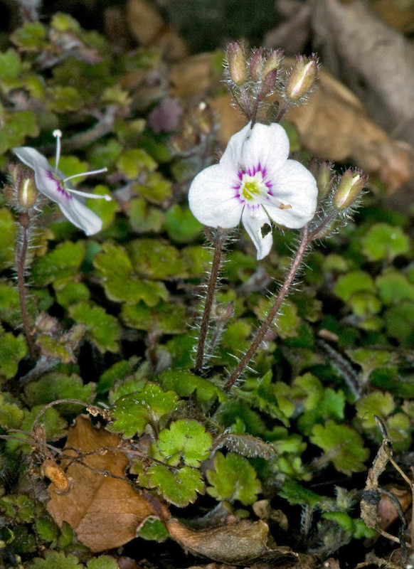
The Auckland region is home to at least 23 known species or subspecies exclusively found in the region. This includes plant species such as the Waitākere rock koromiko, the undescribed Mokohinau gecko, insect species such as the Little Barrier giant wētā, and bird species known to roost exclusively in the Auckland region, such as the New Zealand storm petrel. Many endemic species are found exclusively within the Waitākere Ranges, on Great Barrier Island, Little Barrier Island and the Mokohinau Islands.
Demographics

Main article: Demographics of Auckland
The Auckland region covers 4941.16 km2 and had an estimated population of as of with a population density of people per km2.
|1991|943,773 |1996|1,068,660 |2001|1,158,891 |2006|1,304,958 |2013|1,415,550 |2018|1,571,718 |2023|1,656,486 The Auckland region had a population of 1,656,486 in the 2023 New Zealand census, an increase of 84,768 people (5.4%) since the 2018 census, and an increase of 240,936 people (17.0%) since the 2013 census. There were 818,262 males, 832,188 females and 6,036 people of other genders in 544,083 dwellings. 3.5% of people identified as LGBTIQ+. The median age was 35.9 years (compared with 38.1 years nationally). There were 318,843 people (19.2%) aged under 15 years, 346,938 (20.9%) aged 15 to 29, 770,949 (46.5%) aged 30 to 64, and 219,750 (13.3%) aged 65 or older.
People could identify as more than one ethnicity. The results were 49.8% European (Pākehā); 12.3% Māori; 16.6% Pasifika; 31.3% Asian; 2.7% Middle Eastern, Latin American and African New Zealanders (MELAA); and 1.8% other, which includes people giving their ethnicity as "New Zealander". English was spoken by 92.3%, Māori language by 2.6%, Samoan by 4.5% and other languages by 29.4%. No language could be spoken by 2.3% (e.g. too young to talk). New Zealand Sign Language was known by 0.4%. The percentage of people born overseas was 42.5, compared with 28.8% nationally.
Religious affiliations were 34.9% Christian, 5.4% Hindu, 2.9% Islam, 0.9% Māori religious beliefs, 1.9% Buddhist, 0.3% New Age, 0.2% Jewish, and 2.6% other religions. People who answered that they had no religion were 44.8%, and 6.2% of people did not answer the census question.
Of those at least 15 years old, 330,039 (24.7%) people had a bachelor's or higher degree, 571,350 (42.7%) had a post-high school certificate or diploma, and 345,828 (25.9%) people exclusively held high school qualifications. The median income was $44,700, compared with $41,500 nationally. 194,880 people (14.6%) earned over $100,000 compared to 12.1% nationally. The employment status of those at least 15 was that 712,110 (53.2%) people were employed full-time, 161,946 (12.1%) were part-time, and 43,947 (3.3%) were unemployed.
Towns and cities


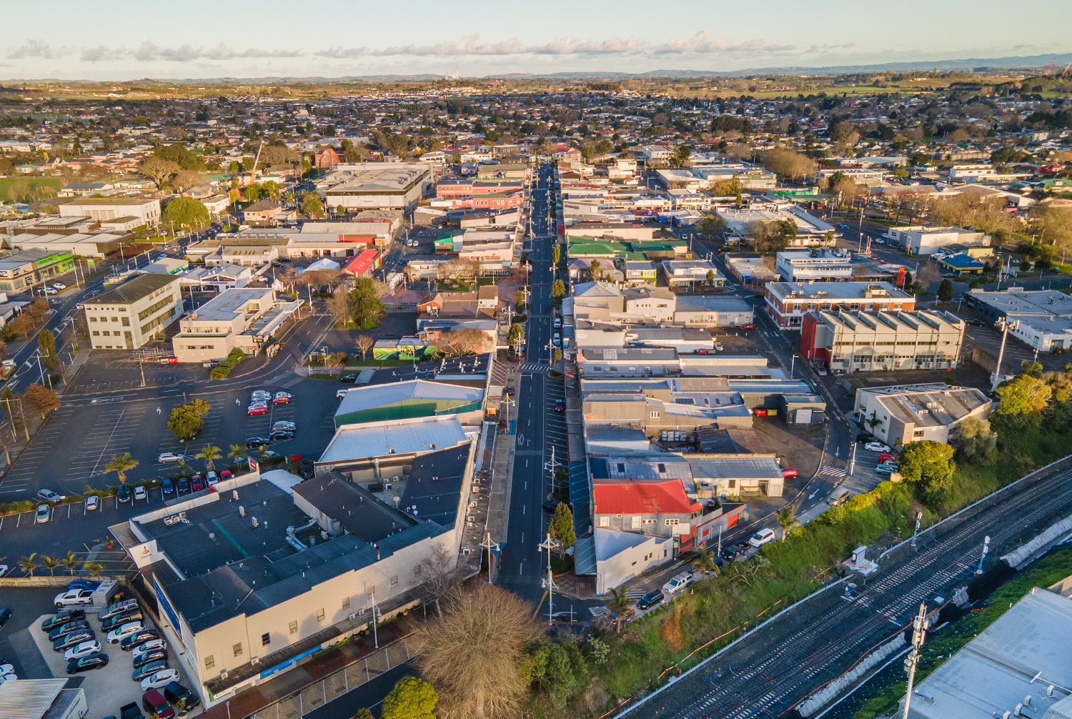
The eponymous city (urban area) of Auckland has a population of making up % of the region's population.
Other urban areas in the Auckland region include:
- Hibiscus Coast ()
- Pukekohe ()
- Waiuku ()
- Waiheke West ()
- Beachlands-Pine Harbour ()
- Kumeū-Huapai ()
- Warkworth ()
- Snells Beach ()
- Riverhead ()
- Helensville ()
- Maraetai ()
- Wellsford ()
- Clarks Beach ()
- Muriwai ()
- Patumahoe ()
- Waimauku ()
- Parakai ()
References
References
- (24 March 2023). "Regional gross domestic product: Year ended March 2022". [[Statistics New Zealand]].
- "Sub-national HDI – Area Database – Global Data Lab".
- "All local boards".
- (6 December 2007). "Auckland region – Landforms".
- Auckland Council. (2012). "Draft Long-term Plan 2012–2022".
- Bloomfield, Gerald Taylor. (1973). "The Evolution of Local Government Areas in Metropolitan Auckland, 1840-1971". [Auckland] : Auckland University Press.
- "ArcGIS Web Application".
- "2001 Census: Regional summary".
- "Totals by topic for dwellings, (RC, TALB, UR, SA3, SA2, Ward, Health), 2013, 2018, and 2023 Censuses". Stats NZ – Tatauranga Aotearoa – Aotearoa Data Explorer.
- "Totals by topic for individuals, (RC, TALB, UR, SA3, SA2, Ward, Health), 2013, 2018, and 2023 Censuses". Stats NZ – Tatauranga Aotearoa – Aotearoa Data Explorer.
This article was imported from Wikipedia and is available under the Creative Commons Attribution-ShareAlike 4.0 License. Content has been adapted to SurfDoc format. Original contributors can be found on the article history page.
Ask Mako anything about Auckland Region — get instant answers, deeper analysis, and related topics.
Research with MakoFree with your Surf account
Create a free account to save articles, ask Mako questions, and organize your research.
Sign up freeThis content may have been generated or modified by AI. CloudSurf Software LLC is not responsible for the accuracy, completeness, or reliability of AI-generated content. Always verify important information from primary sources.
Report