From Surf Wiki (app.surf) — the open knowledge base
Attapeu province
Province of Laos

Province of Laos
| Field | Value |
|---|---|
| name | Attapeu province |
| native_name | ແຂວງ ອັດຕະປື |
| native_name_lang | lo |
| settlement_type | Province |
| image_skyline | Attapeu montage.jpg |
| image_map | Map of Attapeu Province, Laos.jpg |
| map_caption | Map of Attapeu province |
| map_alt | Map of Attapeu province |
| image_map1 | Attapeu Province-Laos.svg |
| map_caption1 | Location of Attapeu province in Laos |
| map_alt1 | Map showing location of Attapeu province in Laos |
| coordinates | |
| subdivision_type | Country |
| subdivision_name | Laos |
| seat_type | Capital |
| seat | Attapeu |
| area_total_km2 | 10,320 |
| population_total | 159,900 |
| population_as_of | 2020 |
| population_density_km2 | auto |
| timezone1 | ICT |
| utc_offset1 | +7 |
| iso_code | LA-AT |
| blank_name_sec1 | HDI (2022) |
| blank_info_sec1 | 0.597 |
| · 10th |
· 10th
Attapeu (, ) is a province of Laos in the southeast of the country. It has five districts: Phouvong, Sanamxay, Sanxay, Saysetha and Samakkixay, covering an area of 10320 km2 with a population of 127,285. The provincial capital is Attapeu.
Following national liberation, the province became known as the "land of heroism". The province has a national park, Xe Pian National Park, and a national biodiversity conservation area, Dong Ampham National Biodiversity Conservation Area.
Geography
Attapeu province covers an area of 10320 km2.
The landscape of the province consists of thick forest, rivers and streams and plains areas in the backdrop of mountains such as Phou Saphong and Phou Luang. The principal rivers are the Xe Kong, Xe Kaman, and the Xe Xou River and the province is “difficult to traverse” in the rainy season. The province has waterfalls of note. These include the 23 m high, 120 m wide Tad Saephe Waterfall in Xepaine Forest, the 10 m high, 30 m wide Tad Samongphak Waterfall between Houay Samong and Xepaine River, Tad Phok Waterfall, and Tad Phaphong Waterfall, running from Xe Xou River. During the American War in Vietnam, parts of the Ho Chi Minh Trail passed through the province. The main roads are Route 13, and Route 11.
Protected areas
Dong Ampham National Biodiversity Conservation Area (NBCA) lies partly in Attapeu province (for the northeastern part) and Sekong province (for the southeastern part), on the border with Vietnam. The NBCA is forested and covers about 200,000 hectares. Established in 1993, it is one of the 23 National Biodiversity Conservation Areas of Laos. Dong Ampham is home to "some of the last intact areas of lowland and tropical forests remaining in mainland Southeast Asia." Topographical features include the Xe Kaman and Xe Xou Rivers, and the volcanic lake Nong Fa Lake. Tigers and Clouded leopard have been recorded here.
The 71,400 hectare Attapu Plain is an Important Bird Area (IBA) adjacent to the NBCA. It is at an elevation of 200 -. The landscape includes wetlands, such as those of the Xe Khaman and Xe Xou rivers, and freshwater lakes and pools. There are dry forests and dry deciduous forests, as well as shingle and stony beaches. Bird life includes the lesser fish eagle (Ichthyophaga humilis), red-headed vulture (Sarcogyps calvus), and white-rumped vulture (Gyps bengalensis).
Administrative divisions
The province is composed of the following districts:
| Map | Code | Name | Romanization | Lao script | |
|---|---|---|---|---|---|
| [[File:Attapu Province districts.png | 200px]] | ||||
| 17-01 | Saysetha District | Mueang Saisathan | ເມືອງໄຊສະຖານ | ||
| 17-02 | Samakkhixay District | Mueang Samakkhisai | ເມືອງສະໝັກຄີໄຊ | ||
| 17-03 | Sanamxay District | Mueang Sanamsai | ເມືອງສະໜາມໄຊ | ||
| 17-04 | Sanxay District | Mueang Sansai | ເມືອງສານໄຊ | ||
| 17-05 | Phouvong District | Mueang Phuwong | ເມືອງພູວົງ |
History
The province was part of the Lane Xang Kingdom during the reign of King Saysethathirath. Earlier to this it was a habitat of wild buffaloes known as "Idkabue" (meaning, 'buffalo dropping'), which, in the French colonial regime, became "Attapeu". During the revolutionary war against the French, the province was the headquarters of the National Liberation Front, the pro-Royalist militia group led by General Vang Pao. By the end of the Laotian Civil War, some of the area was destroyed, remnants of which can be seen in some stretches of the Ho Chi Minh Road.
Demographics
Its population is reported to be 110,000 and consists of ethnic communities; 15 major tribes are reported in the province which include Lao, Alak, Katang, Kaleum, Katou, Suay, Oy, Taoy, Sadang, Nge, Lavea, Lavenh, Cheuang, Tariang and Nyaheung groups.
Economy

The listed globally threatened wild life species number 14 (according to the World Conservation Union (IUCN Red List and 23 species according to the CITES. In the rural economy Laos (80% of rural households), the dependency on forest resources is concentrated in the fields of wild animals and plants, exchanged and extracted for achieving sustainable income; fish is an aquatic vertebrate exploited, apart from other terrestrial and aquatic vertebrates.
Given its proximity to Vietnam, the province has traditionally been a source for raw materials and forest products for adjacent regions in Vietnam. Forest products exported by Champa through its seaports were sourced from places as far as Attapeu.
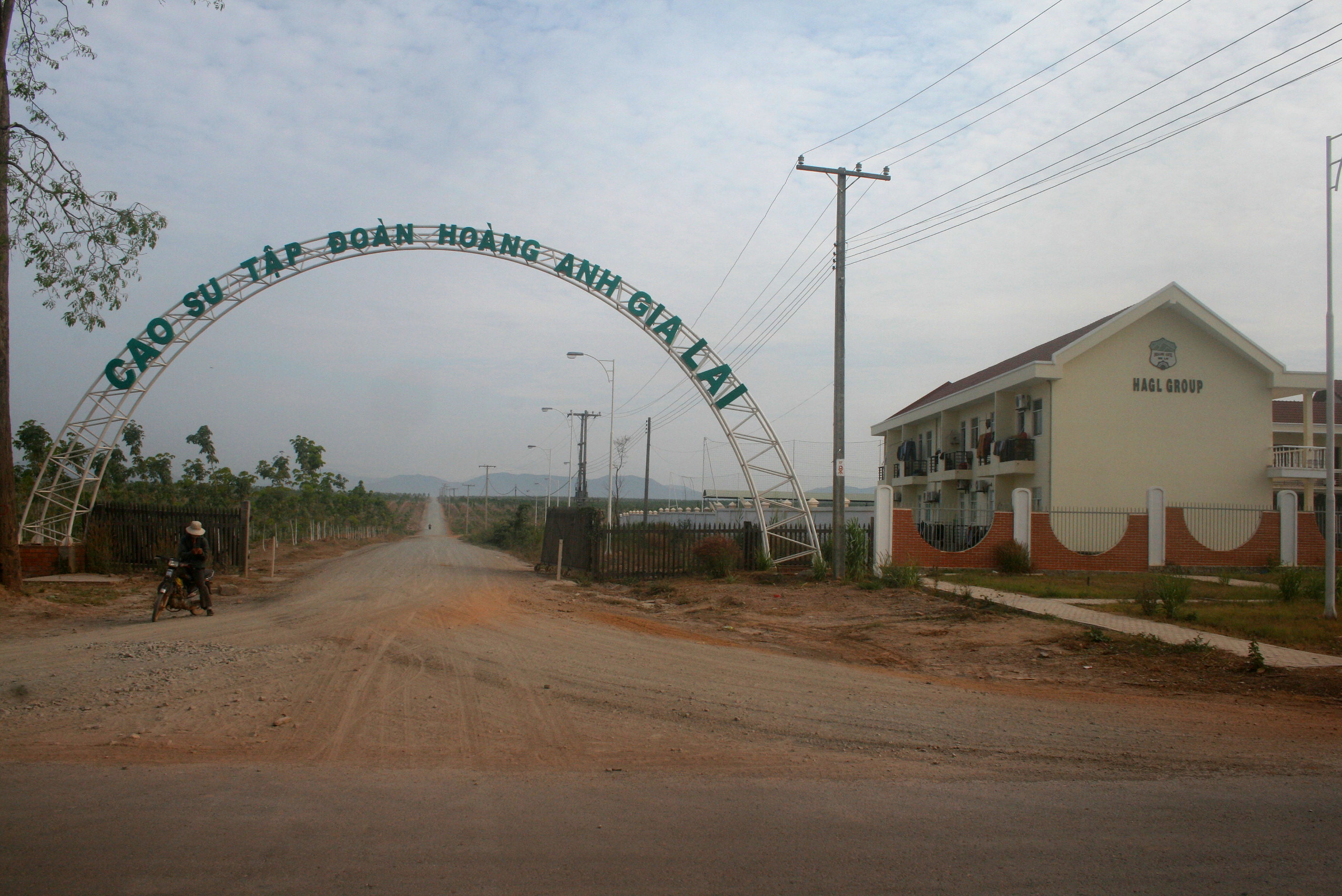
Some Vietnamese companies expanded into Attapeu province. Hoang Anh Gia Lai Group has acquired rights to grow rubber trees in the province. The company plans to invest in electricity generation, sugar refining, and organic fertilizer production. Construction of a US$100 million sugar project including industrial facilities started in November 2011.
Landmarks
Some of the locations in the province are the Wat Sakae Temple which has a Buddha image and is visited during the Lao New Year, and a pagoda and Xaysetha Stupa in Xaysetha District, built in 1579. The temple of Wat Luang Muang Mai in the capital city of Attapeu was built in 1939 and is known for original naga barge boards. King Setthathirat of the Lan Xang is buried in a stupa at the temple of Wat Pha Saysettha in Pha Meuang, approximately 15 km from the capital city. The Sihanouk Trail branches from the Ho Chi Minh Trail at Phu Vong, 13 km from the capital.
Villages
- Xaisi
Gallery
File:Tad Feak falls.jpg|Xekong province: Tad Feak Falls, just across the border from Attapeu File:Attapeu.jpg|Forested area, Attapeu province File:Attapeu1.jpg|Attapeu village
References
Bibliography
References
- Brinkhoff, Thomas. (September 11, 2020). "Statistical data from the yearly provincial census of Laos. 2020 official". Open publishing.
- "Sub-national HDI - Area Database - Global Data Lab".
- "Attapeu Overview". Tourism Marketing Department, Ministry of Information, Culture and Tourism.
- "Destination: Attapeu Province".
- "Home". Official website of Laos Tourism.
- "Base Map:Lao People's Democratic Republic (LPDR)". UNOSAT.
- The Lao National Tourism Administration. "Attapeu Province". GMS Sustainable Tourism Development Project in Lao PDR.
- "Dong Ampham National Biodiversity Conservation Area". Protectedplanet.net.
- "Important Bird Areas factsheet: Attapu Plain". [[BirdLife International]].
- "Trade in Natural Resources in Attopu Province". Mekong Wetlands Biodiversity Conservation and Sustainable Use Programme.
- Nguyen, Binh. (17 March 2011). "HAGL diversifies investment portfolio in Laos". [[Saigon Times]].
- (23 November 2011). "Vietnam group starts huge sugar project in Laos". Vietnam Investment Review.
This article was imported from Wikipedia and is available under the Creative Commons Attribution-ShareAlike 4.0 License. Content has been adapted to SurfDoc format. Original contributors can be found on the article history page.
Ask Mako anything about Attapeu province — get instant answers, deeper analysis, and related topics.
Research with MakoFree with your Surf account
Create a free account to save articles, ask Mako questions, and organize your research.
Sign up freeThis content may have been generated or modified by AI. CloudSurf Software LLC is not responsible for the accuracy, completeness, or reliability of AI-generated content. Always verify important information from primary sources.
Report