From Surf Wiki (app.surf) — the open knowledge base
Atarjea
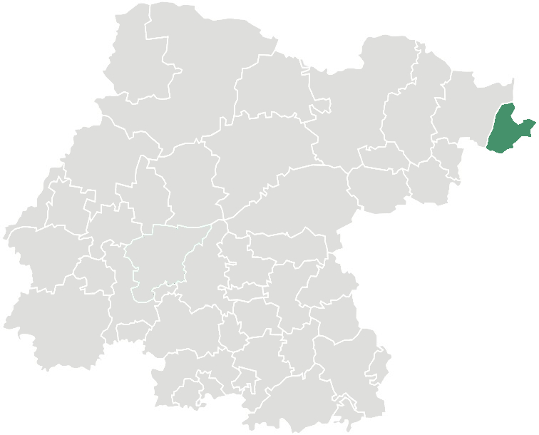
** Atarjea** is a Mexican city and municipality located in the easternmost region of the state of Guanajuato, within the Sierra Gorda range. The municipality has an area of 318 square kilometres (1.04% of the surface of the state) and is bordered to the north by the state of San Luis Potosí, to the east and south by the state of Querétaro, and to the west by Xichú. The municipality had a population of 5,198 according to the 2005 census.
The name of the municipality is of Otomí origin and means "Where they go to drink water."
The municipal president of Atarjea and its many smaller outlying communities is Guadalupe Flores Loyola.
Localities in Atarjea
| Locality | Population | Latitude | Longitude |
|---|---|---|---|
| El Carricillo | 589 | 21°18'56" N | 99°50'00" W |
| Atarjea | 380 | 21°16'04" N | 99°43'06" W |
| Aldama | 348 | 21°10'41" N | 99°50'06" W |
| Álamos | 289 | 21°13'56" N | 99°48'08" W |
| Mangas Cuatas | 258 | 21°15'31" N | 99°45'46" W |
| La Tapona | 255 | 21°11'04" N | 99°52'20" W |
References
References
- "2005 Census". INEGI: Instituto Nacional de Estadística, Geografía e Informática.
- "Mexican Municipality Encyclopedia". Enciclopedia de los Municipios de México.
- "Información General".
This article was imported from Wikipedia and is available under the Creative Commons Attribution-ShareAlike 4.0 License. Content has been adapted to SurfDoc format. Original contributors can be found on the article history page.
Ask Mako anything about Atarjea — get instant answers, deeper analysis, and related topics.
Research with MakoFree with your Surf account
Create a free account to save articles, ask Mako questions, and organize your research.
Sign up freeThis content may have been generated or modified by AI. CloudSurf Software LLC is not responsible for the accuracy, completeness, or reliability of AI-generated content. Always verify important information from primary sources.
Report