From Surf Wiki (app.surf) — the open knowledge base
Aspremont, Alpes-Maritimes
Commune in Provence-Alpes-Côte d'Azur, France
Commune in Provence-Alpes-Côte d'Azur, France
| Field | Value |
|---|---|
| name | Aspremont |
| commune status | Commune |
| image coat of arms | Blason ville fr Aspremont (Alpes-Maritimes).svg |
| image | AspremontMairie.JPG |
| caption | Aspremont Town Hall |
| arrondissement | Nice |
| canton | Tourrette-Levens |
| INSEE | 06006 |
| postal code | 06790 |
| mayor | Pascal Bonsignore |
| term | 2020–2026 |
| intercommunality | Métropole Nice Côte d'Azur |
| coordinates | |
| elevation m | 530 |
| elevation min m | 100 |
| elevation max m | 855 |
| area km2 | 9.44 |
| population | |
| population date | |
| population footnotes | |
| native name | Aspermùnt (Niçard) |
| it |
|image coat of arms = Blason ville fr Aspremont (Alpes-Maritimes).svg it}}
Aspremont (; , formerly; Niçard: Aspermùnt) is a commune in the Alpes-Maritimes department in the Provence-Alpes-Côte d'Azur region in Southeastern France.
Geography
Aspremont is located some 10 km north of Nice and 5 km east of Carros. Access to the commune is by road M414 (Route de Nice) from Nice in the south, by the M14 road from Saint-Blaise in the north, and by the M719 from Tourrette-Levens in the east. Apart from the village there are the towns of Les Salettes, La Plaine, La Valliere, and La Prairie near the village and Les Templiers, Bassac, Cabanes Bletonnieres, and Gibeste in the south. The commune is rugged and heavily forested in the west and east.
The Magnan river rises near the village and flows south through the heart of the commune then to the Mediterranean Sea in the south-west of Nice.
Aspremont is one of sixteen villages grouped together by the Métropole Nice Côte d'Azur tourist department as the Route des Villages Perchés (Route of Perched Villages). The others are: Carros, Castagniers, Coaraze, Colomars, Duranus, Èze, Falicon, La Gaude, Lantosque, Levens, La Roquette-sur-Var, Saint-Blaise, Saint-Jeannet, Tourrette-Levens and Utelle.
Neighbouring communes and villages
History
After the abandonment of the Aspremont-le-Vieux site in 1426, a fortified village was built in concentric circles at the foot of Mont-Chauve on a hill overlooking a path between the Var and the Paillon de Tourrette Valley. Soil and sunshine favoured the cultivation of vines, olives, and fruit trees, particularly fig trees. There was production of wine and olive oil in the county until the end of the 19th century.
In 1874 Aspremont had its land area divided to create the new communes of Colomars and Castagniers.
Heraldry
Blazon:
Argent, an eagle of Gules preying on a mount of 3 hillocks of Sable issuant in base, surmounted by a mullet of Azure.
Administration
List of Successive Mayors
| From | To | Name | Party |
|---|---|---|---|
| 1981 | Léon Astraudo | ||
| 1981 | 2001 | Honoré Trastour | |
| 2001 | 2020 | Alexandre Ferretti | DVD |
| 2020 | Current | Pascal Bonsignore |
Demographics
|1968 |698 |1975 |771 |1982 |1150 |1990 |1496 |1999 |1853 |2009 |2173 |2014 |2146 |2020 |2271 The inhabitants of the commune are known as Aspremontois (masculine) or Aspremontoises (feminine) in French.
Sites and monuments
- Fort of Mont Chauve of Aspremont (19th century)[[File:Logo monument historique - rouge sans texte.svg|18px]]
- Ruins of the medieval village on Mont Cima
- The house where François-Xavier Maistre was born
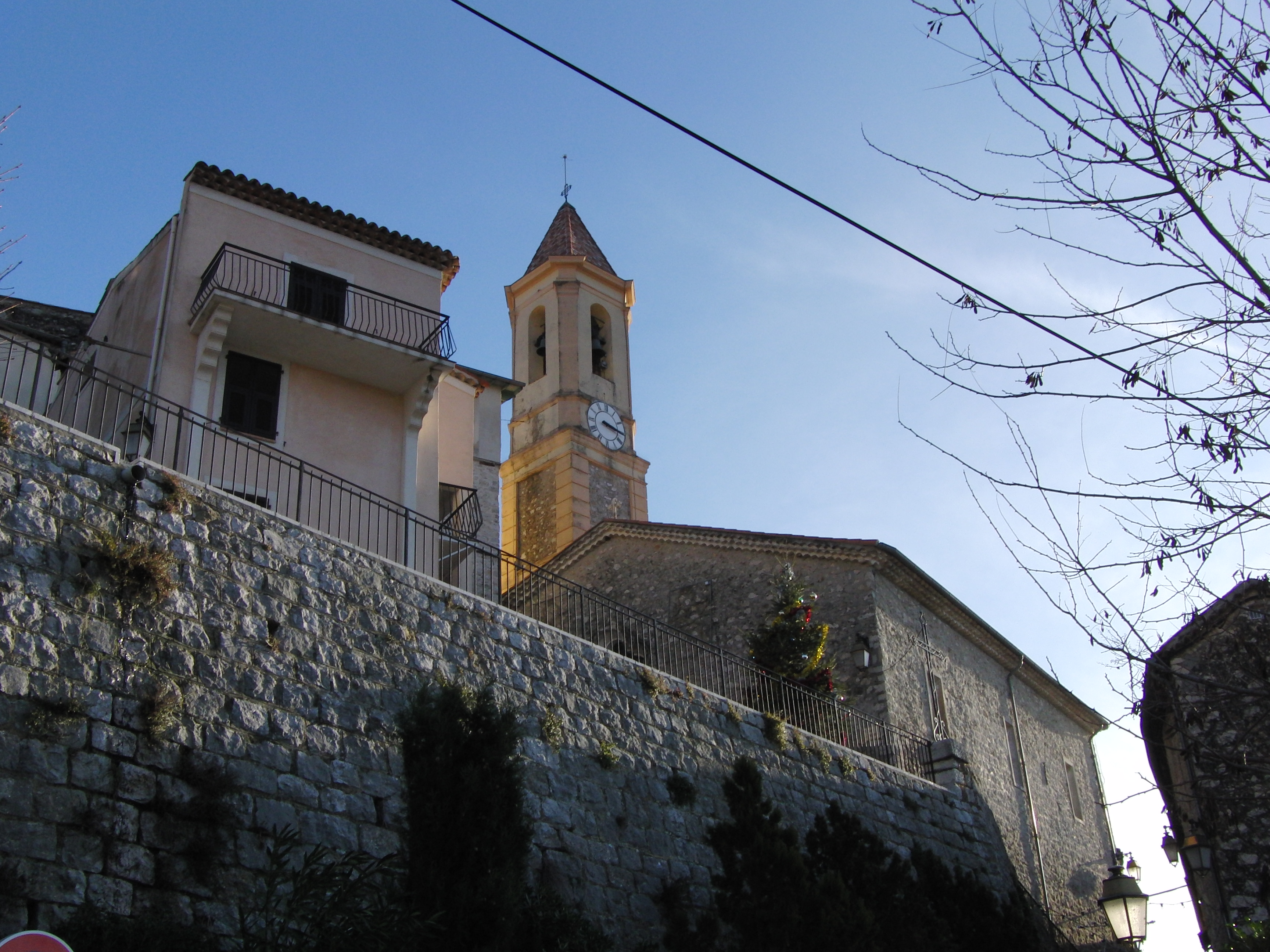
- Church of Saint-Jacques le Mejeur
- Chapel of Saint-Claude
- Chapel of Notre-Dame des Salettes
Notable people linked to the commune
- François-Xavier Maistre (1705-1789), President of the Senate of Savoy, father of Joseph de Maistre and Xavier de Maistre, was a native of Aspremont in the County of Nice.
- Magma, a musical group, has had a recording studio in the commune since 2010.
Twin towns
- ITA Montechiaro d'Acqui, Italy (2003)
References
References
- (2 December 2020). "Répertoire national des élus: les maires".
- [https://www.google.com/maps/place/Aspremont/@43.7724844,7.2547105,6340m/data=!3m1!1e3!4m2!3m1!1s0x12cdcf38c7454135:0x40819a5fd979f90?hl=en Google Maps]
- (2013). "The route of perched villages". Métropole Nice Côte d'Azur.
- fr
- [https://www.insee.fr/fr/statistiques/7633058?geo=COM-06006#ancre-POP_T1 Population en historique depuis 1968], INSEE
- [https://www.habitants.fr/alpes-maritimes-06 Le nom des habitants du 06 - Alpes-Maritimes], habitants.fr
- Ministry of Culture, Mérimée {{Mérimée. IA06000009. IA06000009 Fort of Mont Chauve {{in lang. fr
- [http://leblogdephilippedupuy.nicematin.com/2013/09/christian-vander.html Blog of Philippe Dupuy] {{in lang. fr
This article was imported from Wikipedia and is available under the Creative Commons Attribution-ShareAlike 4.0 License. Content has been adapted to SurfDoc format. Original contributors can be found on the article history page.
Ask Mako anything about Aspremont, Alpes-Maritimes — get instant answers, deeper analysis, and related topics.
Research with MakoFree with your Surf account
Create a free account to save articles, ask Mako questions, and organize your research.
Sign up freeThis content may have been generated or modified by AI. CloudSurf Software LLC is not responsible for the accuracy, completeness, or reliability of AI-generated content. Always verify important information from primary sources.
Report