From Surf Wiki (app.surf) — the open knowledge base
Ardeuil-et-Montfauxelles

| Field | Value |
|---|---|
| name | Ardeuil-et-Montfauxelles |
| commune status | Commune |
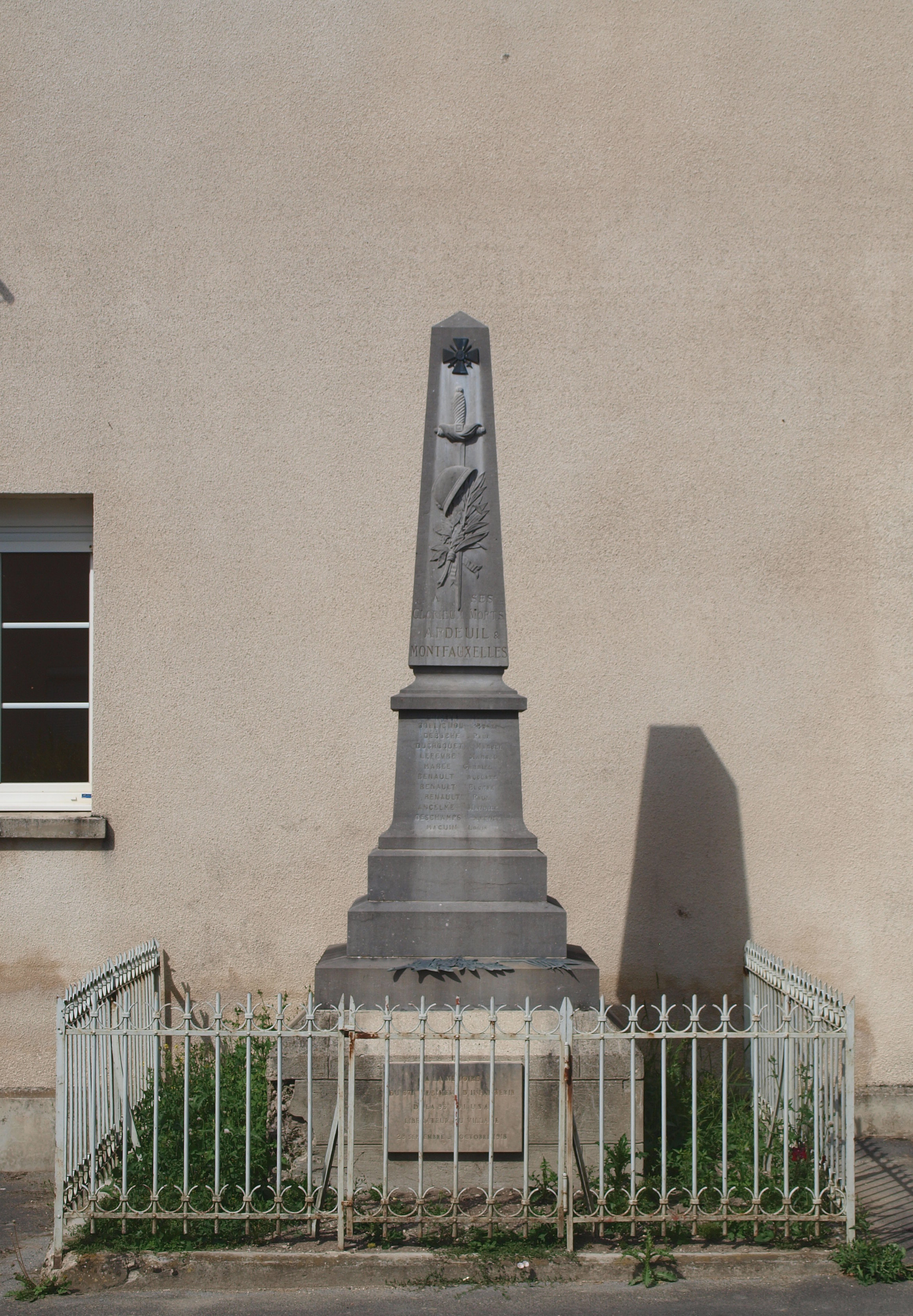
| image | Ardeuil-et-Montfauxelles-FR-08-mairie-02.JPG |
| caption | The Town Hall |
| arrondissement | Vouziers |
| canton | Attigny |
| INSEE | 08018 |
| postal code | 08400 |
| mayor | Fabrice Marchand |
| term | 2020–2026 |
| intercommunality | Argonne Ardennaise |
| coordinates | |
| elevation m | 120 |
| elevation min m | 109 |
| elevation max m | 179 |
| area km2 | 4.28 |
| population | |
| population date | |
| population footnotes |
Ardeuil-et-Montfauxelles () is a commune in the Ardennes department in the Grand Est region of northern France.
Geography
Ardeuil-et-Montfauxelles is located 25 km south of Vouziers and 16 km east by north-east of Sommepy-Tahure on the border with the Marne department, which border forms the southern border of the commune. Access is by road D6 from Manre in the west, passing through the commune and the village before continuing east to Montcheutin. The smaller D121 road goes from the village north-east to join the D21 south-east of Challerange. Apart from the two villages of Ardeuil and Montfauxelles the commune is entirely farmland.
The Allin river flows through the commune from west to north-east. It joins the Aisne river at Brécy-Brières.
Neighbouring communes and villages
Administration
List of Successive Mayors
| From | To | Name |
|---|---|---|
| 1995 | 2014 | Denis Noizet |
| 2014 | 2020 | Georges Pincon |
| 2020 | current | Fabrice Marchand |
Demography
The inhabitants of the commune are known as Ardeuillais or Ardeuillaises in French. The population data given in the table and graph below for 1821 and earlier refer to the former commune of Ardeuil.
| graph-pos = bottom |1793 |91 |1800 |102 |1806 |96 |1821 |109 |1831 |213 |1836 |215 |1841 |202 |1846 |191 |1851 |192 |1866 |201 |1872 |172 |1876 |160 |1881 |166 |1886 |176 |1891 |173 |1896 |170 |1901 |164 |1906 |181 |1911 |144 |1921 |81 |1926 |124 |1931 |138 |1936 |132 |1946 |121 |1954 |143 |1962 |143 |1968 |120 |1975 |91 |1982 |89 |1990 |91 |1999 |76 |2007 |89 |2012 |83 |2017 |68

References
References
- (2 December 2020). "Répertoire national des élus: les maires".
- [https://www.google.com/maps/place/Ardeuil-et-Montfauxelles/@49.2650369,4.7131186,2952m/data=!3m1!1e3!4m2!3m1!1s0x47ebcacd99fe2c67:0x40a5fb99a3f7f90?hl=en Google Maps]
- [http://www.francegenweb.org/mairesgenweb/resultcommune.php?id=8432 List of Mayors of France]
- [https://www.habitants.fr/ardennes-08 Le nom des habitants du 08 - Ardennes], habitants.fr
- {{Cassini-Ehess. 1142. Ardeuil-et-Montfauxelles
- [https://www.insee.fr/fr/statistiques/4515315?geo=COM-08018#ancre-POP_T1 Population en historique depuis 1968], INSEE
This article was imported from Wikipedia and is available under the Creative Commons Attribution-ShareAlike 4.0 License. Content has been adapted to SurfDoc format. Original contributors can be found on the article history page.
Ask Mako anything about Ardeuil-et-Montfauxelles — get instant answers, deeper analysis, and related topics.
Research with MakoFree with your Surf account
Create a free account to save articles, ask Mako questions, and organize your research.
Sign up freeThis content may have been generated or modified by AI. CloudSurf Software LLC is not responsible for the accuracy, completeness, or reliability of AI-generated content. Always verify important information from primary sources.
Report