From Surf Wiki (app.surf) — the open knowledge base
Antichan-de-Frontignes

| Field | Value |
|---|---|
| name | Antichan-de-Frontignes |
| commune status | Commune |
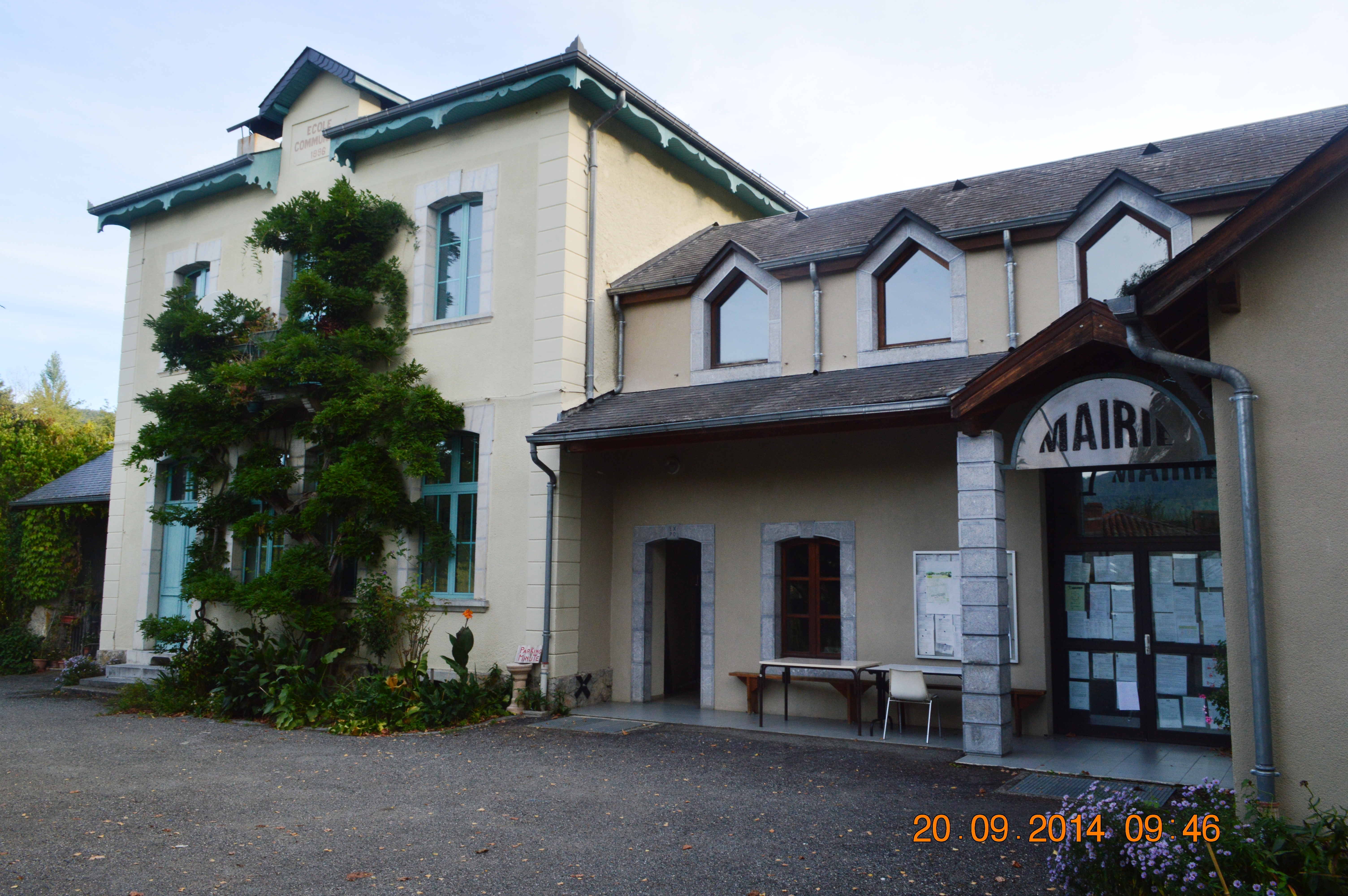
| image | Antichan-de-Frontignes General View.JPG |
| caption | A general view of Antichan-de-Frontignes |
| arrondissement | Saint-Gaudens |
| canton | Bagnères-de-Luchon |
| INSEE | 31009 |
| postal code | 31510 |
| mayor | Bernard Dumail |
| term | 2020–2026 |
| intercommunality | Pyrénées Haut Garonnaises |
| coordinates | |
| elevation m | 600 |
| elevation min m | 533 |
| elevation max m | 1655 |
| area km2 | 4.27 |
| population | |
| population date | |
| population footnotes |
Antichan-de-Frontignes (; ) is a commune in the Haute-Garonne department in the Occitanie region of south-western France.
Geography
Antichan-de-Frontignes is located at the foot of the Pyrenees in the Comminges region some 40 km east by south-east of Bagnères-de-Bigorre and 19 km south by south-west of Saint-Gaudens. Access to the commune is by the D618 road which branches from the D331 east of Ore and goes to the village then continues north-east by a roundabout route to Juzet-d'Izaut. There is also a local road going from the D618 north of the village to Saint-Pé-d'Ardet. Most of the commune is heavily forested however there is some farmland near the village.
Neighbouring communes and villages
Administration
List of Successive Mayors
| From | To | Name |
|---|---|---|
| 2001 | 2026 | Bernard Dumail |
Demography
The inhabitants of the commune are known as Antichanais or Antichanaises in French.
|1793 |241 |1800 |250 |1806 |242 |1821 |288 |1831 |349 |1836 |336 |1841 |335 |1846 |330 |1851 |333 |1856 |320 |1861 |318 |1866 |364 |1872 |309 |1876 |324 |1881 |293 |1886 |286 |1891 |281 |1896 |274 |1901 |258 |1906 |282 |1911 |262 |1921 |241 |1926 |238 |1931 |244 |1936 |240 |1946 |112 |1954 |103 |1962 |96 |1968 |92 |1975 |71 |1982 |75 |1990 |73 |1999 |84 |2007 |82 |2012 |91 |2017 |157


Sites and monuments
- The village is the point of departure for a hiking trail which crosses the Col des Ares 4.5 km from the village then continues to the summits of the Pic du Gar and the Saillant Peak.
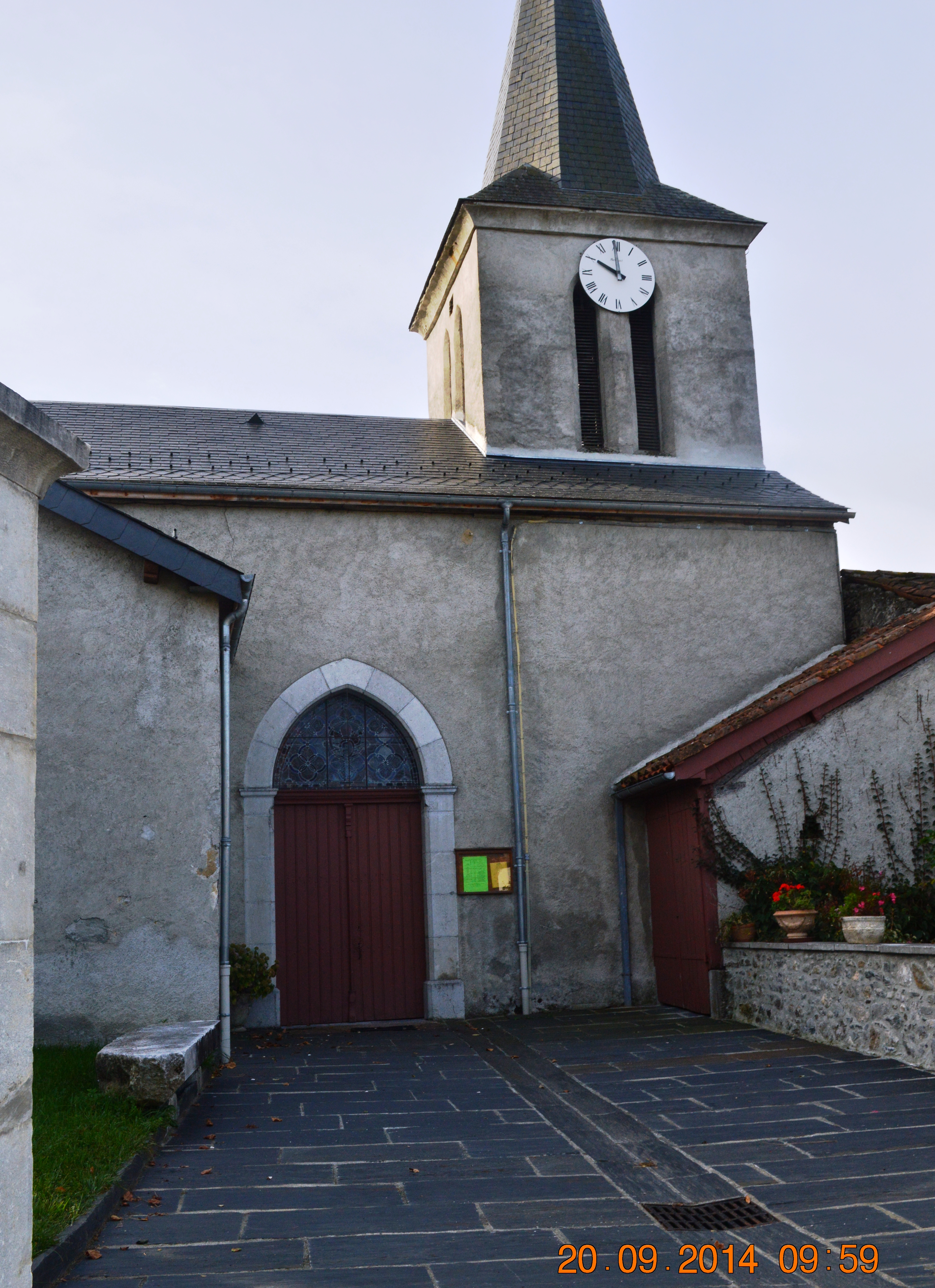
- The Church of Notre-Dame of the Assumption
References
References
- (13 September 2022). "Répertoire national des élus: les maires". data.gouv.fr, Plateforme ouverte des données publiques françaises.
- [https://www.google.com/maps/place/Antichan-de-Frontignes,+France/@42.9663376,0.6759192,3420m/data=!3m1!1e3!4m2!3m1!1s0x12a8f6cd990c4841:0x406f69c2f413200?hl=en Google Maps]
- fr
- [https://www.habitants.fr/haute-garonne-31 Le nom des habitants du 31 - Haute-Garonne], habitants.fr
- {{Cassini-Ehess. 1996. Antichan-de-Frontignes
- [https://www.insee.fr/fr/statistiques/4515315?geo=COM-31009#ancre-POP_T1 Population en historique depuis 1968], INSEE
This article was imported from Wikipedia and is available under the Creative Commons Attribution-ShareAlike 4.0 License. Content has been adapted to SurfDoc format. Original contributors can be found on the article history page.
Ask Mako anything about Antichan-de-Frontignes — get instant answers, deeper analysis, and related topics.
Research with MakoFree with your Surf account
Create a free account to save articles, ask Mako questions, and organize your research.
Sign up freeThis content may have been generated or modified by AI. CloudSurf Software LLC is not responsible for the accuracy, completeness, or reliability of AI-generated content. Always verify important information from primary sources.
Report