From Surf Wiki (app.surf) — the open knowledge base
Angoville, Calvados

| Field | Value |
|---|---|
| name | Angoville |
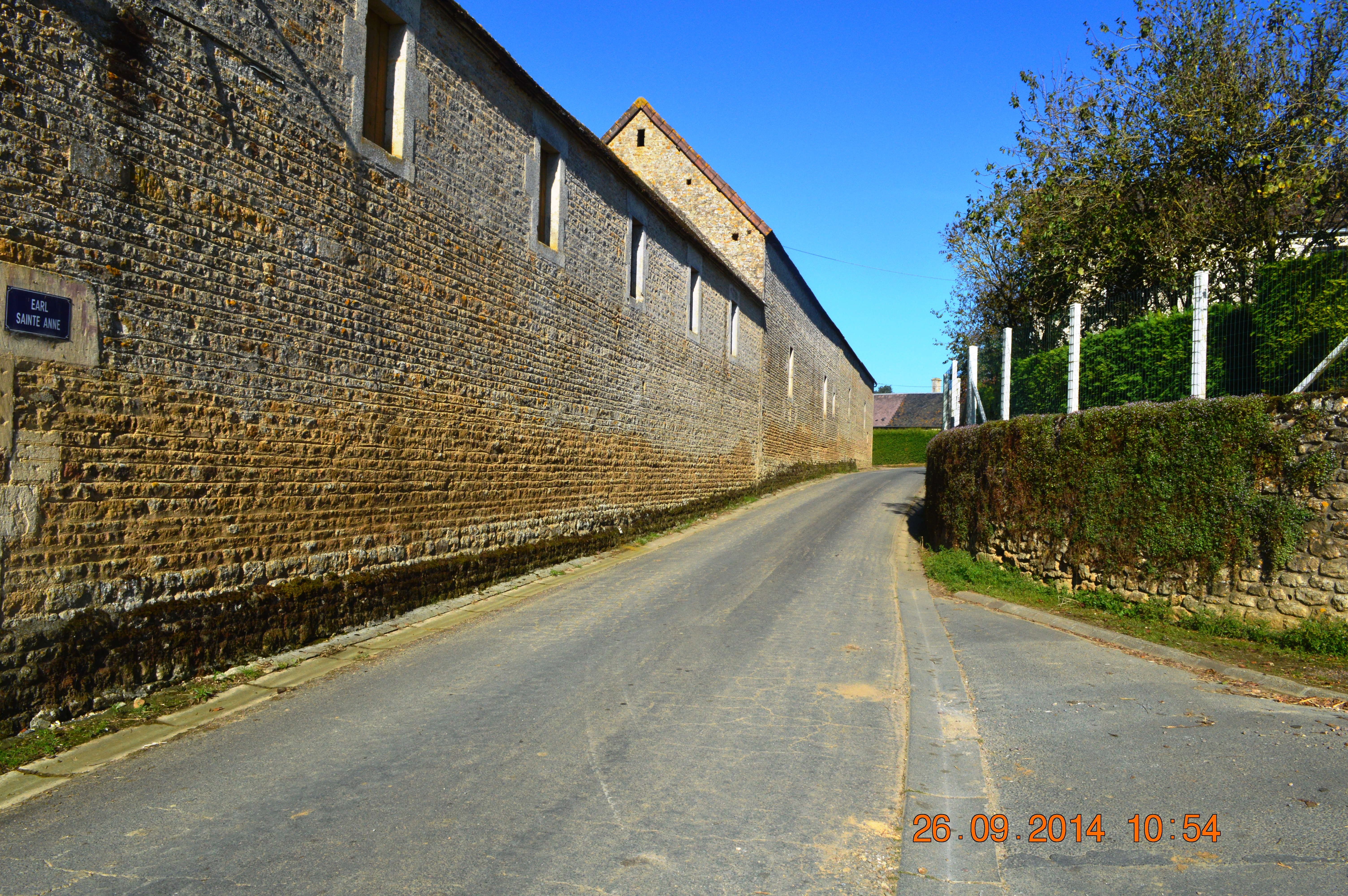
| image | Angoville Entry.JPG |
| caption | The road into Angoville |
| arrondissement | Caen |
| canton | Le Hom |
| commune | Cesny-les-Sources |
| INSEE | 14013 |
| postal code | 14220 |
| coordinates | |
| elevation m | 220 |
| elevation min m | 173 |
| elevation max m | 248 |
| area km2 | 3.72 |
| population | 24 |
| population date | 2022 |
| population footnotes |
Angoville () is a former commune in the Calvados department in the Normandy region of north-western France. On 1 January 2019, it was merged into the new commune of Cesny-les-Sources.
Geography
Angoville is located some 30 km south of Caen and 10 km east by south-east of Thury-Harcourt. The D6 road from Thury-Harcourt to Ussy forms the northern border of the commune. Access to the commune is by the D241 road from Tréprel in the south which passes through the length of the commune and the village and continues north to join the D6 on the border. The commune is mostly farmland with an area of forest in the south which is part of the large Bois de Saint-Claire.
History
Toponymy
Angoville is composed of the old French "ville" (from the Latin "Villae") meaning a rural area or village and a Scandinavian name Asgaut (or Asgautr), gallicized to Asgot, Ansgot, Angot, and Ango - originally the Norman surname Ango and Angot which are widespread in Seine-Maritime.
Administration
List of Successive Mayors of Angoville
| From | To | Name | Party | Position |
|---|---|---|---|---|
| ? | ? | Louis-Aimable Auvray | Farmer | |
| ? | ? | M. Pourdais (Father) | ||
| ? | 2001 | Guy Bourdais | ||
| 2001 | 2014 | Daniel Simon | SE | Farmer |
| 2014 | 2019 | Éric Sohier | SE | Editor |
Demography
The inhabitants of the commune are known as Angovillais or Angovillaises in French.
|1793 |203 |1800 |102 |1806 |212 |1821 |159 |1831 |140 |1836 |138 |1841 |136 |1846 |126 |1851 |110 |1856 |110 |1861 |104 |1866 |98 |1872 |97 |1876 |100 |1881 |97 |1886 |86 |1891 |87 |1896 |80 |1901 |80 |1906 |80 |1911 |71 |1921 |71 |1926 |54 |1931 |50 |1936 |60 |1946 |44 |1954 |53 |1962 |64 |1968 |51 |1975 |45 |1982 |40 |1990 |29 |1999 |30 |2007 |31 |2012 |33 |2022 |24
Economy
The main activities are dairy farming and cropping.
Culture and heritage
Civil heritage
The commune has a number of buildings and structures that are registered as historical monuments:
- Houses and Farms (18th-19th century)
- A Farmhouse (1786)
- The Saint Anne Fountain (1848)
- The Town Hall (19th century)
- The Motte de Rouvrou Fortified Site (11th century)
Religious heritage

The commune has several religious buildings and structures that are registered as historical monuments:
- The Tomb of the Rabâche family (19th century)
- The Tomb of Jean-François Rabâche (1816)
- The Tomb of Priest François Bouquet (1813)
- The Parish Church of Saint-Anne (12th century)
References
References
- (December 2024). "Populations de référence 2022". [[Institut national de la statistique et des études économiques.
- [http://www.calvados.gouv.fr/IMG/pdf/recueil-14-2018-074-recueil-des-actes-administratifs-special-1.pdf Arrêté préfectoral] {{Webarchive. link. (2020-09-27 24 September 2018, p. 124 {{in lang). fr
- [https://www.google.com/maps/place/Angoville,+Calvados,+France/@48.9420239,-0.3703998,5986m/data=!3m1!1e3!4m2!3m1!1s0x480a3dc668eaf997:0x40c14484fbcfd60?hl=en Google Maps]
- National Scientific Research Centre (France), ''Annals of Normandy'', Volume 52, Nos. 1 to 5, Regional Ethnographic Laboratory, 2002 {{in lang. fr
- fr
- fr
- fr
- Annual of the department of la Manche, 12th edition, 1840, p 223
- [https://www.habitants.fr/calvados-14 Le nom des habitants du 14 - Calvados], habitants.fr
- {{Cassini-Ehess. 859. Angoville
- [https://www.insee.fr/fr/statistiques/2123878?geo=COM-14013 Populations légales 2012], INSEE
- Ministry of Culture, Mérimée {{Mérimée. IA00000570. IA00000570 Houses and Farms {{in lang. fr
- Ministry of Culture, Mérimée {{Mérimée. IA00000569. IA00000569 Farmhouse {{in lang. fr
- Ministry of Culture, Mérimée {{Mérimée. IA00000568. IA00000568 Saint Anne Fountain {{in lang. fr
- Ministry of Culture, Mérimée {{Mérimée. IA00000564. IA00000564 Town Hall {{in lang. fr
- Ministry of Culture, Mérimée {{Mérimée. IA00000568. IA00000568 ''Motte de Rouvrou'' Fortified Site {{in lang. fr
- Ministry of Culture, Mérimée {{Mérimée. IA00000567. IA00000567 Tomb of the Rabâche family {{in lang. fr
- Ministry of Culture, Mérimée {{Mérimée. IA00000566. IA00000566 Tomb of Jean-François Rabâche {{in lang. fr
- Ministry of Culture, Mérimée {{Mérimée. IA00000565. IA00000565 Tomb of Priest François Bouquet {{in lang. fr
- Ministry of Culture, Mérimée {{Mérimée. IA00000562. IA00000562 Parish Church of Saint-Anne {{in lang. fr
This article was imported from Wikipedia and is available under the Creative Commons Attribution-ShareAlike 4.0 License. Content has been adapted to SurfDoc format. Original contributors can be found on the article history page.
Ask Mako anything about Angoville, Calvados — get instant answers, deeper analysis, and related topics.
Research with MakoFree with your Surf account
Create a free account to save articles, ask Mako questions, and organize your research.
Sign up freeThis content may have been generated or modified by AI. CloudSurf Software LLC is not responsible for the accuracy, completeness, or reliability of AI-generated content. Always verify important information from primary sources.
Report