From Surf Wiki (app.surf) — the open knowledge base
Anderson County, Tennessee
County in Tennessee, United States
County in Tennessee, United States
| Field | Value |
|---|---|
| county | Anderson County |
| state | Tennessee |
| seal | File:Andersoncotnseal.jpg |
| founded year | 1801 |
| founded date | November 6 |
| named for | Joseph Anderson |
| leader_title | Mayor |
| leader_name | Terry Frank (R) |
| seat wl | Clinton |
| largest city wl | Oak Ridge |
| area_total_sq_mi | 345 |
| area_land_sq_mi | 337 |
| area_water_sq_mi | 7.6 |
| area percentage | 2.2% |
| census yr | 2020 |
| population_total | 77123 |
| pop_est_as_of | 2023 |
| population_est | 80234 |
| density_sq_mi | auto |
| time zone | Eastern |
| web | https://andersoncountytn.gov/ |
| ex image | Anderson-County-Courthouse-tn2.jpg |
| ex image cap | Anderson County Courthouse in Clinton |
| district | 3rd |
Anderson County is a county in the U.S. state of Tennessee. It is located in the northern part of the state in East Tennessee. As of the 2020 census, its population was 77,123. Its county seat is Clinton. Anderson County is included in the Knoxville, TN Metropolitan Statistical Area.
History
Before the formation of Anderson County, Tennessee, that territory was initially land of what is today called the Eastern Band of Cherokee Indians, which had been settled by several pioneer families including the Wallace, Gibbs, Freels, Frost and Tunnell families. Although the Treaty of Holston, signed in 1791, was intended as a negotiation with the Cherokee to prohibit settlement of the area including what is today Anderson County, the treaty became ineffective as more settlers moved through the Appalachian Mountains from Virginia and North Carolina into Tennessee. The flooding of white settlers into the Indian domain was cause for several skirmishes, which eased after the Treaty of Tellico in 1798 (with an origination point for relinquished land from the Cherokee being the Tellico Blockhouse) allowed for greater ease in settling the area.
Anderson County was partitioned from a portion of Grainger County, Tennessee as well as a portion of Knox County, Tennessee, in 1801; neighboring Roane County, Tennessee, was also formed from a portion of Knox County, Tennessee, in 1801, making Anderson and Roane counties effectively called 'sister counties'. Anderson County was named in honor of Joseph Anderson (1757–1847), who was at that time U.S. senator from Tennessee, and whose career also included judge of the Superior Court of the Territory South of the River Ohio and Comptroller of the U.S. Treasury.
Like many East Tennessee counties, the residents of Anderson County were largely opposed to secession on the eve of the Civil War. On June 8, 1861, Anderson Countians voted against Tennessee's Ordinance of Secession, 1,278 to 97.
The construction of Norris Dam, the first dam built by the Tennessee Valley Authority, brought major changes to the county in the 1930s. Approximately 2900 families were relocated from reservoir lands in Anderson and nearby counties during the construction, which began in 1933 and was completed in 1936. The town of Norris was initially built as a planned community to house the workers involved in the construction of this dam. As a result of the dam completion and operation, the temperature of the downstream Clinch River bed changed, so that a former pearl industry which had been successful for many years evaporated as the mussels, once prevalent in the river, were not able to sustain life in the changed climate.
During World War II, the federal government's Manhattan Project brought more change to the county, including the displacement of more families and the founding of Oak Ridge.
The Museum of Appalachia in Norris commemorates pioneer and rural life of past decades in Anderson County and the surrounding region. It is also an antique shop that sells artifacts from the times of the first settlers to the times of the Coal Creek War.
Geography
According to the U.S. Census Bureau, the county has a total area of 345 sqmi, of which 337 sqmi is land and 7.6 sqmi (2.2%) is water.
Adjacent counties
- Campbell County (north)
- Union County (northeast)
- Knox County (southeast)
- Roane County (southwest)
- Morgan County (west)
- Scott County (northwest)
National protected area
- Manhattan Project National Historical Park (part)
State protected areas
- Norris Dam State Park (part)
- North Cumberland Wildlife Management Area (part)
Demographics
| align-fn = center 1790-1960 1900-1990 1990-2000 2010-2020
2020 census
| Race | Number | Percentage | White (non-Hispanic) | Black or African American (non-Hispanic) | Native American | Asian | Pacific Islander | Other/Mixed | Hispanic or Latino |
|---|---|---|---|---|---|---|---|---|---|
| 66,044 | 85.63% | ||||||||
| 2,841 | 3.68% | ||||||||
| 217 | 0.28% | ||||||||
| 975 | 1.26% | ||||||||
| 53 | 0.07% | ||||||||
| 4,173 | 5.41% | ||||||||
| 2,820 | 3.66% |
As of the 2020 census, there were 77,123 people, 31,993 households, and 19,074 families residing in the county.
The racial makeup of the county was 86.7% White, 3.7% Black or African American, 0.4% American Indian and Alaska Native, 1.3% Asian, 0.1% Native Hawaiian and Pacific Islander, 1.6% from some other race, and 6.3% from two or more races. Hispanic or Latino residents of any race comprised 3.7% of the population.
The median age was 43.2 years, with 21.1% of residents under the age of 18 and 20.5% aged 65 or older. For every 100 females, there were 94.8 males, and for every 100 females age 18 and over there were 92.3 males.
Among the 31,993 households, 27.9% had children under the age of 18 living with them. Of all households, 46.3% were married-couple households, 18.8% were households with a male householder and no spouse or partner present, and 28.4% were households with a female householder and no spouse or partner present. About 29.6% of all households were made up of individuals and 13.2% had someone living alone who was 65 years of age or older.
There were 35,143 housing units, of which 9.0% were vacant. Among occupied housing units, 68.8% were owner-occupied and 31.2% were renter-occupied. The homeowner vacancy rate was 1.4% and the rental vacancy rate was 7.4%.
63.5% of residents lived in urban areas, while 36.5% lived in rural areas.
2000 census
As of the census of 2000, there were 71,330 people, 29,780 households, and 20,518 families residing in the county. The population density was 211 /mi2. There were 32,451 housing units at an average density of 96 /mi2. The racial makeup of the county was 93.36% White, 3.88% Black or African American, 0.32% Native American, 0.83% Asian, 0.01% Pacific Islander, 0.38% from other races, and 1.22% from two or more races. 1.10% of the population were Hispanic or Latino of any race.
According to the 2000 Census the largest ancestry groups in Anderson County were English (37%), Irish (14.7%), German (13.5%), Scots-Irish (4.5%) and Scottish (3.1%).
There were 29,780 households, out of which 29.60% had children under the age of 18 living with them, 53.80% were married couples living together, 11.50% had a female householder with no husband present, and 31.10% were non-families. 27.70% of all households were made up of individuals, and 12.10% had someone living alone who was 65 years of age or older. The average household size was 2.37 and the average family size was 2.88.
In the county, the population was spread out, with 23.20% under the age of 18, 7.50% from 18 to 24, 27.30% from 25 to 44, 25.50% from 45 to 64, and 16.60% who were 65 years of age or older. The median age was 40 years. For every 100 females, there were 91.10 males. For every 100 females age 18 and over, there were 87.40 males.
The median income for a household in the county was $35,483, and the median income for a family was $42,584. Males had a median income of $33,710 versus $23,467 for females. The per capita income for the county was $19,009. About 10.20% of families and 13.10% of the population were below the poverty line, including 18.40% of those under age 18 and 8.80% of those age 65 or over.
Economy
Anderson County has a thriving tourism industry, thanks to major attractions such as Norris Lake, the Green McAdoo School, the Museum of Appalachia, and American Museum of Science and Energy, and the county is considered a part of the Norris Highlands.
Communities
Cities
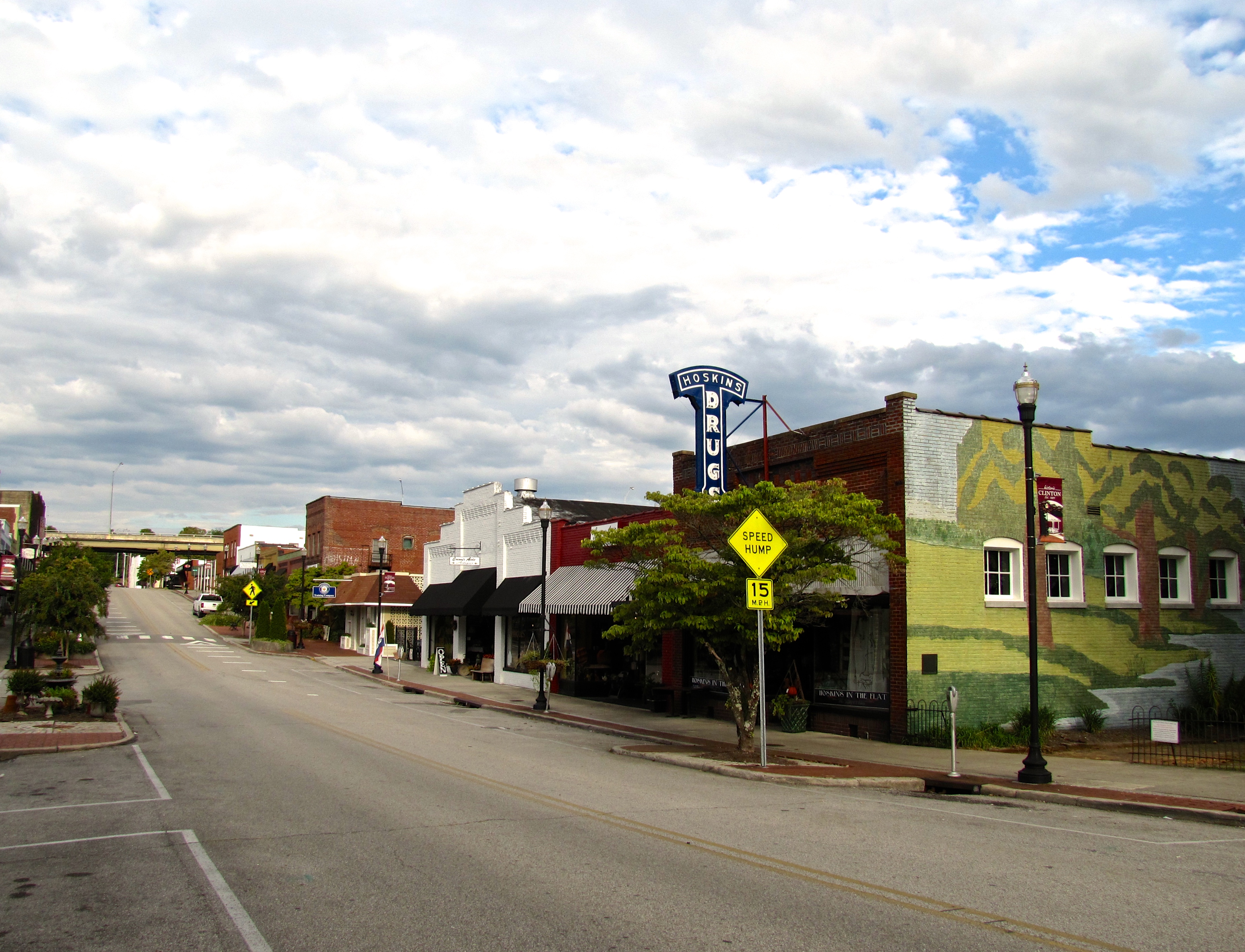
- Clinton (county seat)
- Norris
- Oak Ridge (partial)
- Rocky Top (partial)
Town
- Oliver Springs (partial)
Census-designated place
- Andersonville
- Briceville
Unincorporated communities
- Beech Grove
- Belmont
- Bethel
- Braytown
- Buffalo
- Claxton
- Devonia
- Fork Mountain
- Fraterville
- Heiskell (partial)
- King Arthur Court
- Marlow
- Medford
- Stainville
Politics
Anderson County has traditionally leaned Republican, consistent with East Tennessee’s Unionist roots, but the creation of Oak Ridge during World War II, when the federal government established the city in 1942 as part of the Manhattan Project, brought in thousands of scientists, engineers, and federal employees who provided Democrats with a stronger base of support than in surrounding counties. Oak Ridge made Anderson County more politically competitive through much of the mid-20th century, but in recent decades the county has trended back Republican, with Democratic strength largely confined to parts of Oak Ridge. The last Democratic presidential candidate to carry the county was Bill Clinton in 1996.
References
References
- Tara Mitchell Mielnik, "[http://tennesseeencyclopedia.net/entry.php?rec=23 Anderson County]," ''Tennessee Encyclopedia of History and Culture''. Retrieved: March 31, 2013.
- "Anderson County, Tennessee". United States Census Bureau.
- "Find a County". National Association of Counties.
- Overholt, James. (1989). "Anderson County, Tennessee". [[The Donning Company]].
- Wells, Emma Middleton. (1927). "History of Roane County, Tennessee, Volume 1". The Lookout Publishing Company.
- Oliver Perry Temple, ''[https://archive.org/details/easttennesseean00tempgoog/page/n227 East Tennessee and the Civil War]'' (R. Clarke Company, 1899), p. 199.
- (August 22, 2012). "2010 Census Gazetteer Files". United States Census Bureau.
- "Annual Estimates of the Resident Population for Counties: April 1, 2020 to July 1, 2023". United States Census Bureau.
- "U.S. Decennial Census". United States Census Bureau.
- "Historical Census Browser". University of Virginia Library.
- (March 27, 1995). "Population of Counties by Decennial Census: 1900 to 1990". United States Census Bureau.
- (April 2, 2001). "Census 2000 PHC-T-4. Ranking Tables for Counties: 1990 and 2000". United States Census Bureau.
- "Explore Census Data".
- (2021). "2020 Decennial Census Demographic Profile (DP1)".
- (2021). "2020 Decennial Census Redistricting Data (Public Law 94-171)".
- (2023). "2020 Decennial Census Demographic and Housing Characteristics (DHC)".
- "U.S. Census website". [[United States Census Bureau]].
- Gillis, Ann. (2009). "Oak Ridge". Arcadia Publishing.
- "Oak Ridge, Tennessee (U.S. National Park Service)".
- Datar, Saurabh. (2025-01-15). "An Extremely Detailed Map of the 2024 Election". The New York Times.
- Leip, David. "Dave Leip's Atlas of U.S. Presidential Elections".
This article was imported from Wikipedia and is available under the Creative Commons Attribution-ShareAlike 4.0 License. Content has been adapted to SurfDoc format. Original contributors can be found on the article history page.
Ask Mako anything about Anderson County, Tennessee — get instant answers, deeper analysis, and related topics.
Research with MakoFree with your Surf account
Create a free account to save articles, ask Mako questions, and organize your research.
Sign up freeThis content may have been generated or modified by AI. CloudSurf Software LLC is not responsible for the accuracy, completeness, or reliability of AI-generated content. Always verify important information from primary sources.
Report