From Surf Wiki (app.surf) — the open knowledge base
Anchamps
| Field | Value |
|---|---|
| name | Anchamps |
| commune status | Commune |
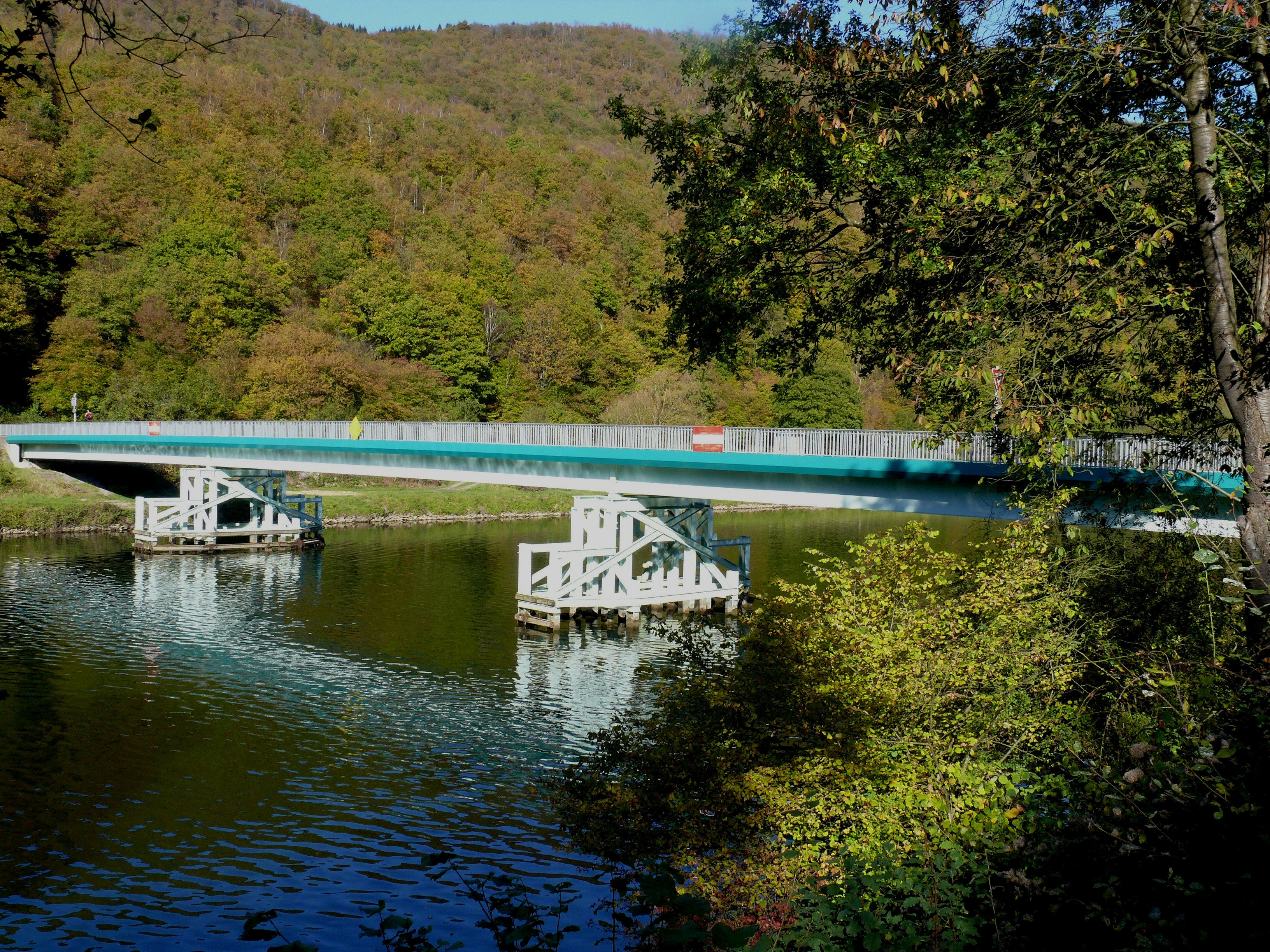
| image | Pont sur l'ecluse, Anchamps 01 09.jpg |
| caption | Bridge at the Lock at Anchamps |
| image coat of arms | Blason ville fr Anchamps (Ardennes).svg |
| arrondissement | Charleville-Mézières |
| canton | Revin |
| INSEE | 08011 |
| postal code | 08500 |
| mayor | Michel Colcy |
| term | 2020–2026 |
| intercommunality | Ardenne-Rives-de-Meuse |
| coordinates | |
| elevation m | 140 |
| elevation min m | 127 |
| elevation max m | 345 |
| area km2 | 2.26 |
| population | |
| population date | |
| population footnotes |
|image coat of arms = Blason ville fr Anchamps (Ardennes).svg
Anchamps () is a commune in the Ardennes department in the Grand Est region of northern France.
Geography
Anchamps is about 15 km south of Fumay and 12 km east of Rocroi on the left bank of the Meuse just east of the Orzy neighbourhood of Revin. Road access to the town is by a local road from Revin which follows the bank of the Meuse and a road bridge over the Meuse connects to the D1 road. The village is served by the TER train from Givet to Charleville-Mézières four or five times per day. The railway also follows the Meuse crossing over on the railway viaduct on the east side of the commune.
The Meuse river forms the border of the commune on the west, north, and east sides.
Neighbouring communes and villages
Toponymy
- Angehan (1400)
- Engehan (1459)
- Auchamp (1793)
- Amchamps (1801)
According to JP Lépine, Anchamps was once written Enjean and Enchamp.
It probably derives from anacum: an meaning "river" and acum meaning "close" – i.e. "close to the river".

History
In 1509 the village had only 12 fires, in 1728 – 18, and in 1846–59 fires or 235 inhabitants.
The origin of the village is unknown: it is as old as the village of Deville which has long depended on the Barony of Montcornet.
The inhabitants of Anchamps, like all communes from the Barony of Montcornet had to pay annual manorial dues which was two hens for each citizen; 18 deniers for the rights of the people; for the use of the river water for crushing (there used to be a crushing mill) 3 livres and 5 sols; 2 Paris sols and 6 eels for fishing the Meuse; 2 sols and 6 deniers per swathe of meadow; and 9 deniers per arpent of occupied land.
Following a charter dated 3 August and 27 July 1546, Charles de Croy gave the inhabitants of this village, and the villages of Deville, Laifour Secheval, and Mazures an extensive wood called Wèbes.
The Lordship of Anchamps was sold to César Bernier in 1578 and was reunited with the County of Lonny in 1663 with all manorial rights attached. On the sale and acquisition of the marquisate by the Duke of Meillaraie in 1674, the rights granted to the residents by Charles de Croy were retained and that purchaser even provided them forever by deed of 22 September 1679 with the responsibility to pay him 15 sols per arpent annually.
The last lord of this place was Louis-Marie-Charles, the Viscount of Salse, a knight and also Lord of Laifour.
The village church dates from 1766.
Administration
List of mayors
| From | To | Name |
|---|---|---|
| 1995 | 2007 | Jean Gugole |
| 2007 | 2007 | Valérie Gugole |
| 2007 | 2020 | Michel Philippe |
| 2020 | Current | Michel Colcy |
Population
|1968 |182 |1975 |177 |1982 |199 |1990 |204 |1999 |192 |2007 |226 |2012 |232 |2017 |217
Sites and monuments
Pierre Roland
This site consists of two blocks of diorite. The first is called Pierre Roland and has the shape of an irregular pyramid. It rises to 1.4 m above ground and is probably buried 50 cm. Its four edges are said to align with sunrises and sunsets. The other lies 10 m to the northwest and measures 1.77 x 0.67 x 0.37 m. These stones are said to have been thrown by Satan from three rocks called the Ladies of Meuse at the famous Charlemagne's nephew, Roland, to force him to retreat. One of the three projectiles rolled into the Meuse, the other two landed at the feet of the hero.
References
References
- (2 December 2020). "Répertoire national des élus: les maires".
- [https://www.google.com/maps/place/08500+Anchamps,+France/@49.9255171,4.661758,15z/data=!3m1!4b1!4m2!3m1!1s0x47c1e2a5d0ac4cf9:0x6096245ec4e20c08 Google Maps]
- [https://www.francegenweb.org/mairesgenweb/resultcommune.php?id=8426 List of Mayors of France]
- [https://www.insee.fr/fr/statistiques/4515315?geo=COM-08011#ancre-POP_T1 Population en historique depuis 1968], INSEE
This article was imported from Wikipedia and is available under the Creative Commons Attribution-ShareAlike 4.0 License. Content has been adapted to SurfDoc format. Original contributors can be found on the article history page.
Ask Mako anything about Anchamps — get instant answers, deeper analysis, and related topics.
Research with MakoFree with your Surf account
Create a free account to save articles, ask Mako questions, and organize your research.
Sign up freeThis content may have been generated or modified by AI. CloudSurf Software LLC is not responsible for the accuracy, completeness, or reliability of AI-generated content. Always verify important information from primary sources.
Report