From Surf Wiki (app.surf) — the open knowledge base
Algonquin Highlands
| Field | Value |
|---|---|
| name | Algonquin Highlands |
| official_name | Township of Algonquin Highlands |
| settlement_type | Township (lower-tier) |
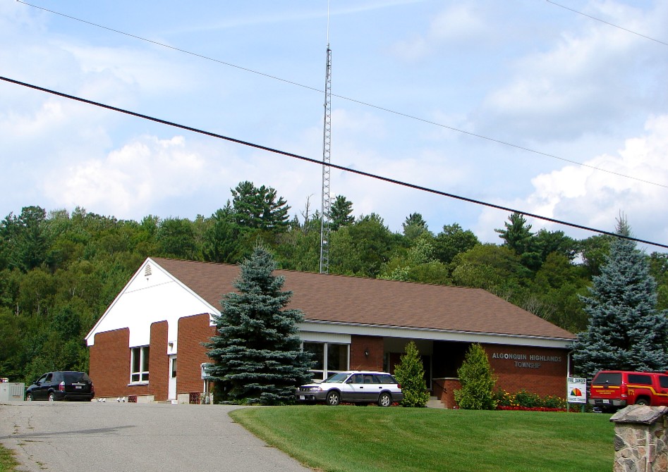
| image_skyline | Algonquin Highlands Twp.JPG |
| image_seal | Algonquin Highlands Logo.jpg |
| seal_type | Logo |
| seal_size | 100x80px |
| flag_size | 120x80px |
| shield_size | 100x90px |
| pushpin_map | CAN ON Haliburton#Canada Southern Ontario |
| coordinates | |
| subdivision_type | Country |
| subdivision_name | |
| subdivision_type1 | Province |
| subdivision_name1 | |
| subdivision_type2 | County |
| subdivision_name2 | Haliburton |
| established_title | Settled |
| established_title2 | Incorporated |
| established_date2 | January 1, 2001 |
| government_type | Township |
| leader_title | Mayor |
| leader_name | Liz Danielsen |
| leader_title1 | Fed. riding |
| leader_name1 | Haliburton—Kawartha Lakes |
| leader_title2 | Prov. riding |
| leader_name2 | Haliburton—Kawartha Lakes—Brock |
| area_land_km2 | 999.69 |
| area_footnotes | |
| population_as_of | 2021 |
| population_footnotes | |
| population_total | 2588 |
| population_density_km2 | 2.6 |
| timezone | EST |
| utc_offset | -5 |
| timezone_DST | EDT |
| utc_offset_DST | -4 |
| postal_code_type | Postal code |
| postal_code | K0M 1S0 |
| area_code | 705 |
| elevation_m | 443 |
| website |
Algonquin Highlands is a township located in Haliburton County, Ontario, Canada. It has a population of 2,351. The northeastern section of the township is included in Algonquin Provincial Park.
The township was formed on January 1, 2001, through the amalgamation of Stanhope and Sherborne et al. townships, the latter of which included McClintock, Livingstone, Lawrence and Nightingale. It was thereafter briefly known as the Township of Sherborne, Stanhope, McClintock, Livingstone, Lawrence and Nightingale until it was renamed to its current name in March 2001.
The township lacks a commercial center, but its municipal offices are located on North Shore Road, 5 km north of Carnarvon at . A satellite municipal office is located in Dorset, the main street of which straddles the border of Algonquin Highlands to the east and Lake of Bays to the west.
Communities
The largest community in the Municipality of Algonquin Highlands is Dorset, Ontario although this community is actually split with Lake of Bays, Ontario.
Geography
Located in Algonquin Provincial Park, the area is characterized by uplands and dense transitional forestation. It rests on a portion of the Canadian Shield.
Climate
Algonquin Highlands experiences a humid continental climate, with it being more cool due to the higher elevation.
Wildlife
The Algonquin Highlands support a wide range of wildlife due to their unique position at the transition zone between northern coniferous and southern deciduous forests. More than 50 species of mammals have been documented in the region.
Large mammals commonly seen include moose, with a population of approximately 3,500, white-tailed deer, and black bears, which number around 2,000 and are typically shy and non-aggressive toward humans. Beavers are widespread and play a significant ecological role in wetland maintenance, often observed from trails like Beaver Pond and Mizzy Lake.
The area also provides habitat for the eastern wolf, a threatened species found in several packs within the region. Smaller mammals such as otters, pine martens, red squirrels, chipmunks, raccoons, and foxes are also regularly seen, particularly in less-traveled areas.
Beyond mammals, Algonquin Highlands are home to more than 270 bird species and over 30 species of reptiles and amphibians, reinforcing the area’s reputation as a premier location for wildlife observation in Ontario.
Demographics
In the 2021 Census of Population conducted by Statistics Canada, Algonquin Highlands had a population of living in of its total private dwellings, a change of from its 2016 population of . With a land area of 999.69 km2, it had a population density of in 2021. |1996|1687 |2001|1827 |2006|1976 |2011|2186 |2016|2351 |2021|2588
Mother tongue (2021):
- English as first language: 93.1%
- French as first language: 0.8%
- English and French as first language: 0.2%
- Other as first language: 5.0%
References
References
- "Municipal restructuring activity summary table - Dataset - Ontario Data Catalogue". Government of Ontario.
- "Natural History {{!}} Frontenac Arch Biosphere".
- Canada, Environment and Climate Change. (2013-09-25). "Canadian Climate Normals 1981-2010 Station Data - Climate - Environment and Climate Change Canada".
- "What kind of wildlife can be seen in Algonquin Park?".
- "Mammals {{!}} Algonquin Provincial Park {{!}} The Friends of Algonquin Park".
- [[Canada 1996 Census. 1996]], [[Canada 2001 Census. 2001]], [[Canada 2006 Census. 2006]] census
- "Algonquin Highlands census profile". Statistics Canada.
- {{SCref. (2021)
This article was imported from Wikipedia and is available under the Creative Commons Attribution-ShareAlike 4.0 License. Content has been adapted to SurfDoc format. Original contributors can be found on the article history page.
Ask Mako anything about Algonquin Highlands — get instant answers, deeper analysis, and related topics.
Research with MakoFree with your Surf account
Create a free account to save articles, ask Mako questions, and organize your research.
Sign up freeThis content may have been generated or modified by AI. CloudSurf Software LLC is not responsible for the accuracy, completeness, or reliability of AI-generated content. Always verify important information from primary sources.
Report