From Surf Wiki (app.surf) — the open knowledge base
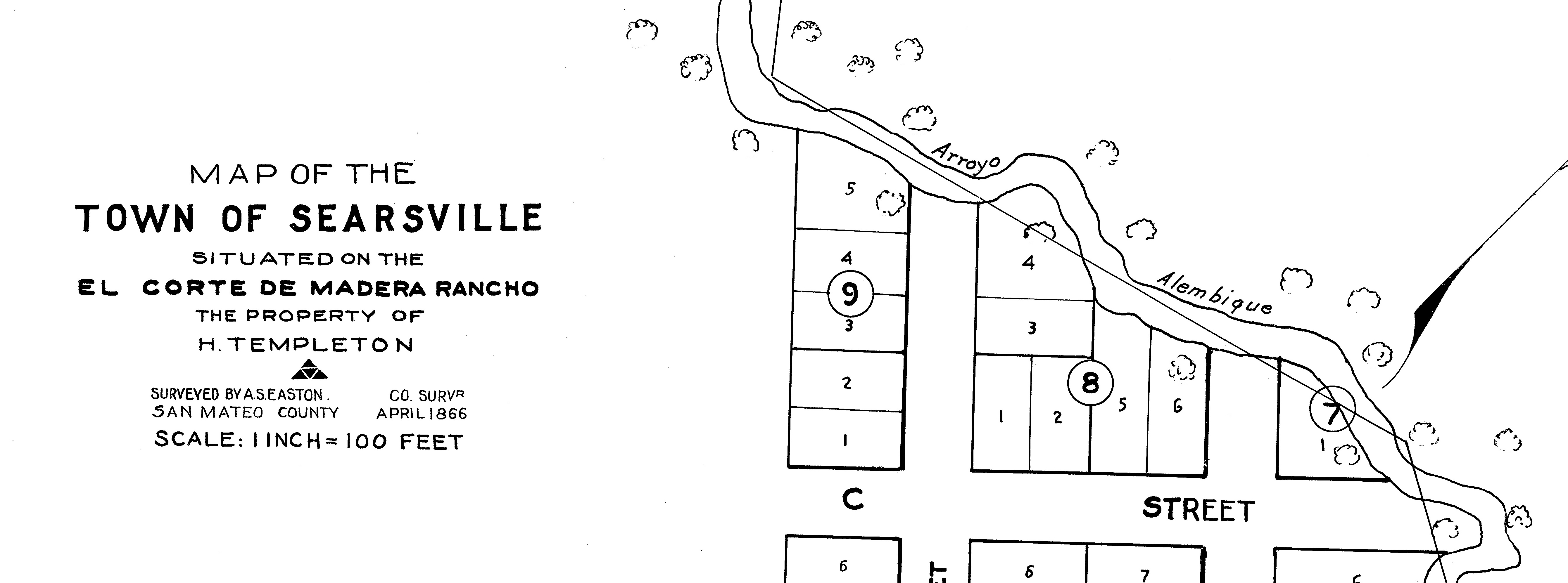
Alambique Creek
River in San Mateo County, California, United States

River in San Mateo County, California, United States
| Field | Value |
|---|---|
| name | Alambique Creek |
| name_etymology | Spanish language |
| pushpin_map | USA California |
| pushpin_map_caption | Location of the mouth in California |
| subdivision_type1 | Country |
| subdivision_name1 | United States |
| subdivision_type2 | State |
| subdivision_name2 | California |
| subdivision_type3 | Region |
| subdivision_name3 | Southeastern San Mateo County |
| subdivision_type5 | City |
| subdivision_name5 | Woodside, California |
| source1_location | Wunderlich County Park |
| source1_coordinates | |
| source1_elevation | 1930 ft |
| mouth | Sausal Creek |
| mouth_location | Middle Searsville Pond (Middle Searsville Marsh) just above Searsville Lake |
| mouth_coordinates | |
| mouth_elevation | 342 ft |
Alambique Creek, or Arroyo Alembique, is a 2.7 mi stream located in San Mateo County, California, in the United States. It is a tributary to Corte Madera Creek and is part of the San Francisquito Creek watershed.
History

The creek's name is Spanish for "still," referring to a liquor distillery. Older Spanish spells it alembique with an "e". The English spelling is alembic, a type of still that is used today. The e spelling dominates in the 1800s and continued on most maps until the 1930s. The name refers to moonshiners Tom Bowen and Nicholas Dawson, English seaman deserters, who built an illegal still on the creek in 1842. The creek runs through Wunderlich Park in Woodside, California, where, in 1904, the creek was used by J. A. Folger for the first hydro-electrical power system in the region.
Watershed
Alambique Creek begins below Skyline Boulevard on Bear Gulch Road near the intersection with Bear Glen Drive. Next, Alambique Creek flows through a culvert under Portola Road into the Middle Searsville Pond (Middle Searsville Marsh) at its confluence with Sausal Creek.{{cite web
Ecology
Alambique Creek was once a historical steelhead trout (coastal rainbow trout) (Oncorhynchus mykiss irideus) spawning stream. In 1981, the creek was fish sampled and two stream resident rainbow trout which have been isolated from the Bay by Searsville Dam were collected where the creek crosses La Honda Road. In May 2002, the culvert beneath Highway 84 was identified as an impassable barrier to upstream migration.{{cite web
References
References
- {{cite gnis. 218044. Alambique Creek
- U.S. Geological Survey. National Hydrography Dataset high-resolution flowline data. [http://viewer.nationalmap.gov/viewer/ The National Map] {{webarchive. link. (2012-03-29 , accessed 2012-02-11)
- Herb Dengler. (1997). "History Recorded in a Name: Alambique Creek". Jasper Ridge Biological Preserve.
- (30 November 1998). "1500 California place names: their origin and meaning". University of California Press.
- (2008). "Wunderlich Park". County of San Mateo.
- (2010). "Historic Resource Study for Golden Gate National Recreation Area in San Mateo County". National Park Service.
This article was imported from Wikipedia and is available under the Creative Commons Attribution-ShareAlike 4.0 License. Content has been adapted to SurfDoc format. Original contributors can be found on the article history page.
Ask Mako anything about Alambique Creek — get instant answers, deeper analysis, and related topics.
Research with MakoFree with your Surf account
Create a free account to save articles, ask Mako questions, and organize your research.
Sign up freeThis content may have been generated or modified by AI. CloudSurf Software LLC is not responsible for the accuracy, completeness, or reliability of AI-generated content. Always verify important information from primary sources.
Report