From Surf Wiki (app.surf) — the open knowledge base
Al-Qubeiba, Jerusalem
| Field | Value |
|---|---|
| name | al-Qubeiba |
| translit_lang1 | Arabic |
| translit_lang1_type | Arabic |
| translit_lang1_info | القبيبة |
| translit_lang1_type1 | Latin |
| translit_lang1_info1 | al-Qubeibah (official) |
| al-Qubaybah (unofficial) | |
| type | Municipality type C |
| image_skyline | Lower bido9889.JPG |
| pushpin_map | Palestine |
| pushpin_map_caption | Location of al-Qubeiba within Palestine |
| coordinates | |
| grid_name | Palestine grid |
| grid_position | 163/138 |
| subdivision_type | State |
| subdivision_name | State of Palestine |
| subdivision_type1 | Governorate |
| subdivision_name1 | Quds |
| established_title | Founded |
| government_footnotes | tags -- |
| government_type | Municipality |
| leader_title | Head of Municipality |
| leader_name | Mr. Hasanayn Hammouda |
| unit_pref | dunam |
| population_footnotes | |
| population_total | 3876 |
| population_as_of | 2017 |
| population_density_km2 | auto |
| blank_name_sec1 | Name meaning |
| blank_info_sec1 | "The little dome" |
the Palestinian village in Jerusalem Governorate
al-Qubaybah (unofficial)
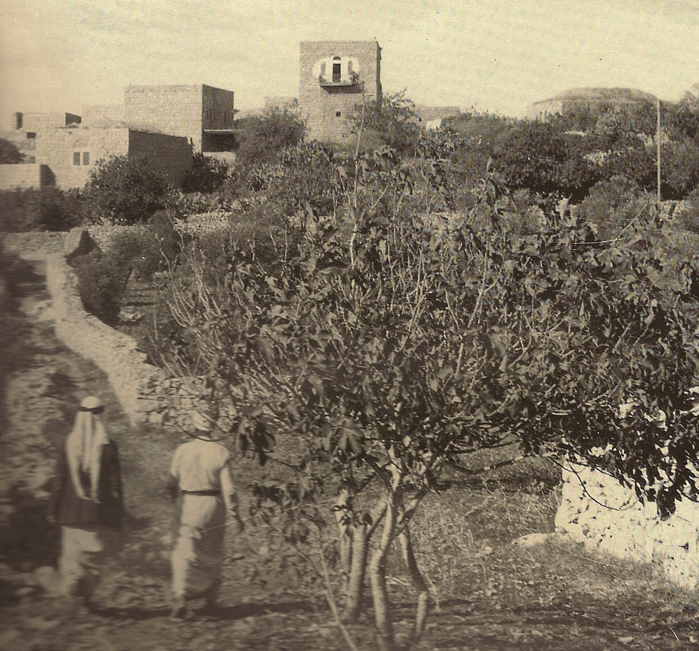
Al-Qubeiba () is a Palestinian town in the Jerusalem Governorate of Palestine, located 2 kilometers northwest of Jerusalem in the central West Bank. According to the Palestinian Central Bureau of Statistics in 2017, the village had a population of 3,876. Al-Qubeiba lies at an altitude of 783m to 795m above sea-level. It is located in a conflict area near the border with Israel between Ramallah and Jerusalem. The settlement of Giv'on HaHadashah lies 5 km southeast of al-Qubeiba. It is surrounded by the town of Biddu (east), Beit 'Anan (northwest), Qatanna (southwest), and Kharayib Umm al-Lahim (west). Unlike the surrounding region, al-Qubeiba has large areas covered with pine and olive trees.
History
Crusader to Mamluk period
In the Crusader era a new Frankish village was erected along the still extant Roman road and received the name Parva Mahomeria. In 1159 it was mentioned in a document defining its borders with Beit 'Anan.
After the expulsion of the Crusaders from the Holy Land, the next Christian established presence in Palestine were the Franciscan custodians of the holy sites. During the 13th century Qubeibeh was gradually adopted by pilgrims as the location of Emmaus, the village mentioned in Luke 24:13-35, eventually replacing Abu Ghosh in this function. From 1335 on the Franciscans adopted it too and began an annual pilgrimage to this site.
Late Ottoman period
In 1838 el-Kubeibeh was noted as a Muslim village, part of Beni Malik area, located west of Jerusalem.
In 1863 the French explorer Victor Guérin described it as a village of a hundred people who lived in old houses, each consisting of a single vaulted room.
An Ottoman village list from about 1870 found that el-kubebe had a population of 79, in 12 houses, though the population count included only men.
In 1883, the PEF's Survey of Western Palestine described it as a "village of moderate size, standing on a flat ridge with a few olives to the west. [..] To the west is a monastery of Latin monks, established in 1862." A ruined Crusader church was noted.
In 1896 the population of El-kubebe was estimated to be about 144 persons.
British Mandate period
In the 1922 census of Palestine conducted by the British Mandate authorities, Al-Qubeiba had a population of 236 inhabitants, consisting of 26 Christians and 210 Muslims, where all the Christians were Roman Catholics. This had increased in the 1931 census to 316, 55 Christians and 261 Muslim, in 83 residential houses.
In the 1945 statistics Al-Qubeiba had a population of 420; 340 Muslims and 80 Christians, with 3,184 dunams of land, according to an official land and population survey. Of this, 534 dunams were plantations and irrigable land, 1,032 used for cereals, while 22 dunams were built-up land.
Jordanian period
In the wake of the 1948 Arab–Israeli War, and after the 1949 Armistice Agreements, Al-Qubeiba came under Jordanian rule. It was annexed by Jordan in 1950.
In 1961, the population of Qubeiba was 701, of whom 116 were Christian, the rest Muslim.
Post-1967
Since the Six-Day War in 1967 Al-Qubeiba has been under Israeli occupation. The population in the 1967 census conducted by the Israeli authorities was 688, of whom 21 originated from the Israeli territory.
After the 1995 Oslo accords, 53.3% of village land was classified as Area B, and the remaining 46.2% as Area C. Israel has expropriated more than 500 dunams of village land in order to construct the West Bank barrier.
Tourism
St. Cleophas Church is in Al-Qubeiba.
Geopolitical status
Al-Qubeiba along with Beit Duqqu, Beit 'Anan, Beit Surik, Qatanna, Biddu, Beit Ijza, Kharayib Umm al-Lahim and at-Tira form the "Biddu enclave". The enclave is linked to Ramallah by underpasses and a road that is fenced on both sides. From the "Biddu enclave" Palestinians will travel along a fenced road that passes under a bypass road to Bir Nabala enclave, then on a second underpass under Bypass Road 443 to Ramallah.
Diaa' A-Din 'Abd al-Karim Ibrahim Abu 'Eid was shot dead by gunfire during an anti-barrier demonstration on 18 April 2004.B'Tselem West Bank Statistics Muhammad Fadel Hashem Rian and Zakaria Mahmoud 'Eid Salem were shot dead during anti-barrier demonstrations on 26 February 2004 at Beit Ijaz (a satellite village of Biddu).
Health
The medical facilities for al-Qubeiba are classified as level 2 according to the Palestinian National Authority Ministry of Health.
References
Bibliography
References
- (February 2018). "Preliminary Results of the Population, Housing and Establishments Census, 2017". [[State of Palestine]].
- Palmer, 1881, p. [https://archive.org/stream/surveyofwesternp00conduoft#page/313/mode/1up 313]
- Pringle, 1998, pp. [https://books.google.com/books?id=2Y0tA0xLzwEC&pg=RA1-PA167 167]-9
- Röhricht, 1893, RHH, p. [https://archive.org/stream/regestaregnihie00rhgoog#page/n94/mode/1up 88], no 338
- "Seetheholyland.net, editor: Pat McCarthy".
- Robinson and Smith, 1841, vol 3, Appendix 2, p. [https://archive.org/stream/biblicalresearch03robiuoft#page/124/mode/1up 124]
- Guérin, 1868, pp. [https://archive.org/stream/descriptiongog01gu#page/348/mode/1up 348]-61
- Socin, 1879, p. [https://archive.org/stream/zeitschriftdesde01deut#page/157/mode/1up 157] Also noted that it was in the Beni Malik area
- Hartmann, 1883, p. [https://archive.org/stream/bub_gb_BZobAQAAIAAJ#page/n926/mode/1up 118], also noted 12 houses
- Conder and Kitchener, 1883, SWP III, p. [https://archive.org/stream/surveyofwesternp03conduoft#page/17/mode/1up 17]
- Conder and Kitchener, 1883, SWP III, pp. [https://archive.org/stream/surveyofwesternp03conduoft#page/130/mode/1up 130]-131
- Schick, 1896, p. [https://archive.org/stream/zeitschriftdesde19deut#page/n233/mode/1up 126] Note that Schick mistakenly writes the Socin number for [[Al-Qubayba, Ramle]], that is, 499.
- Barron, 1923, Table VII, Sub-district of Jerusalem, p. [https://archive.org/stream/PalestineCensus1922/Palestine%20Census%20%281922%29#page/n17/mode/1up 15]
- Barron, 1923, Table XIV, p. [https://archive.org/stream/PalestineCensus1922/Palestine%20Census%20%281922%29#page/n47/mode/1up 45]
- Mills, 1932, p. [https://archive.org/details/CensusOfPalestine1931.PopulationOfVillagesTownsAndAdministrativeAreas 42]
- Government of Palestine, Department of Statistics, 1945, p. [http://cs.anu.edu.au/~bdm/yabber/census/VSpages/VS1945_p25.jpg 25]
- Government of Palestine, Department of Statistics. ''Village Statistics, April, 1945.'' Quoted in Hadawi, 1970, p. [http://www.palestineremembered.com/download/VillageStatistics/Table%20I/Jerusalem/Page-058.jpg 58] {{Webarchive. link. (2018-11-03)
- Government of Palestine, Department of Statistics. ''Village Statistics, April, 1945.'' Quoted in Hadawi, 1970, p. [http://www.palestineremembered.com/download/VillageStatistics/Table%20II/Jerusalem/Page-104.jpg 104] {{Webarchive. link. (2012-03-14)
- Government of Palestine, Department of Statistics. ''Village Statistics, April, 1945.'' Quoted in Hadawi, 1970, p. [http://www.palestineremembered.com/download/VillageStatistics/Table%20III/Jerusalem/Page-154.jpg 154] {{Webarchive. link. (2014-04-27)
- Government of Jordan, Department of Statistics, 1964, p. [http://users.cecs.anu.edu.au/~bdm/yabber/census/JordanCensusPages/JordanCensus1961-p24.pdf 24]
- Government of Jordan, Department of Statistics, 1964, pp. [http://users.cecs.anu.edu.au/~bdm/yabber/census/JordanCensusPages/JordanCensus1961-pp115-116.pdf 115-116]
- Perlmann, Joel. (November 2011 – February 2012). "The 1967 Census of the West Bank and Gaza Strip: A Digitized Version".
- [http://vprofile.arij.org/jerusalem/pdfs/vprofile/Al%20Qubeiba_EN.pdf Al Qubeiba Village Profile], ARIJ, pp. 16–17
- [http://www.humanitarianinfo.org/opt/docs/UN/OCHA/ochaHU0605_En.pdf OCHA] {{webarchive. link. (2005-11-12)
- [http://www.reliefweb.int/rw/fullMaps_Sa.nsf/luFullMap/BB0D1D0CC89A371F8525706F00517495/$File/healthinforum_HLT_westbank_opt110205.pdf?OpenElement Health care Facilities West Bank] {{webarchive. link. (2006-03-13)
This article was imported from Wikipedia and is available under the Creative Commons Attribution-ShareAlike 4.0 License. Content has been adapted to SurfDoc format. Original contributors can be found on the article history page.
Ask Mako anything about Al-Qubeiba, Jerusalem — get instant answers, deeper analysis, and related topics.
Research with MakoFree with your Surf account
Create a free account to save articles, ask Mako questions, and organize your research.
Sign up freeThis content may have been generated or modified by AI. CloudSurf Software LLC is not responsible for the accuracy, completeness, or reliability of AI-generated content. Always verify important information from primary sources.
Report