From Surf Wiki (app.surf) — the open knowledge base
104th Street station (IND Fulton Street Line)
New York City Subway station in Queens
New York City Subway station in Queens
| Field | Value | ||
|---|---|---|---|
| name | 104 Street | ||
| former | Oxford Avenue | ||
| 104th Street–Oxford Avenue | |||
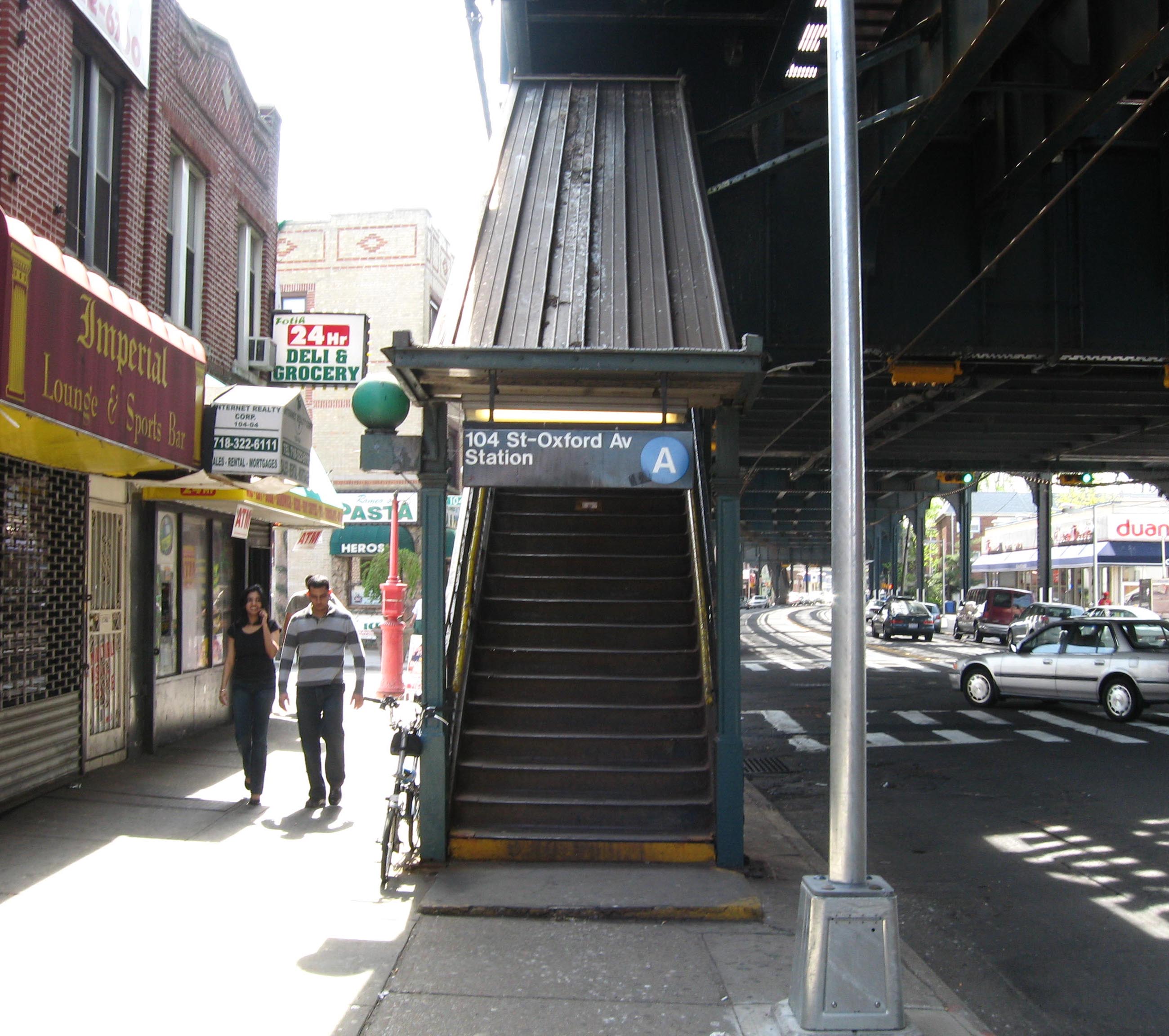
| image | Brooklyn bound platform at 104 St on the Fulton St Line.jpg | ||
| image_caption | Brooklyn-bound platform | ||
| address | 104th Street and Liberty Avenue | ||
| Queens, New York | |||
| borough | Queens | ||
| locale | South Ozone Park | ||
| South Richmond Hill | |||
| coordinates | |||
| division | IND Fulton | ||
| line | IND Fulton Street Line | ||
| BMT Fulton Street Line (formerly) | |||
| service | Fulton far east local | ||
| other | MTA Bus: | ||
| platforms | 2 side platforms | ||
| tracks | 3 (2 in regular service) | ||
| structure | Elevated | ||
| opened | |||
| services | {{Adjacent stations | system=New York City Subway | |
| line | Fulton far east | left=Rockaway Boulevard | right=111th Street}} |
| footnotes | |||
| route_map | {{NYCS 3-tracked local station | inline=y | |
| 1 | Rockaway Boulevard | ||
| 2 | 111th Street | ||
| code2 | IND Fulton Street Line | ||
| unused | yes | ||
| deg | 105 |
104th Street–Oxford Avenue Queens, New York South Richmond Hill BMT Fulton Street Line (formerly) The 104th Street station (signed as the 104th Street–Oxford Avenue station) is a local station on the IND Fulton Street Line of the New York City Subway, located on Liberty Avenue at 104th Street in South Ozone Park, and partially in South Richmond Hill, Queens. The station is served by the Lefferts Boulevard A train at all times.
History
104th Street was one of the six stations along Liberty Avenue in Queens, from 80th Street through Ozone Park–Lefferts Boulevard, as well as the current three track elevated structure, built for the BMT Fulton Street Line in 1915 as part of BMT's portion of the Dual Contracts. The connection to the BMT was severed on April 26, 1956, and the IND was extended east (railroad south) from Euclid Avenue via a connecting tunnel and new intermediate station at Grant Avenue, with the new service beginning on April 29, 1956. The Fulton Street Elevated west of Hudson Street was closed, and eventually demolished.
The station has gone by a number of different names. It opened as Oxford Avenue. By 1948, "Oxford" and "104" were shown in equal sizes, and by 1959 the name was shown as "104 St–Oxford". The current official map shows the name as just "104 St". Station signage still shows "104th Street – Oxford Avenue".
The station was completely renovated in 2014. The project, which was part of a $39 million program to renovate five stations from 80th Street to 111th Street, involved closing each platform for several months at a time.
Station layout
| Ground | Street level | Exit/entrance |
|---|
The station has three tracks and two side platforms. The middle track is not currently used in revenue service. The next stop to the east (railroad south) is 111th Street, while the next stop to the west (railroad north) is Rockaway Boulevard. Northwest of the station, there is a view of the abandoned LIRR's Rockaway Beach Branch tracks from the IND Rockaway Line.
After the station was renovated in 2014 and the beginning of 2015, artwork commissioned by MTA Arts & Design and designed by Béatrice Coron was installed, titled On the Right Track.
Exits
The exit at the northeastern end of the station (railroad south) leads to either eastern corner of Liberty Avenue and 104th Street. At the opposite end of the station there is an exit to either western corner of Liberty Avenue and 102nd Street. These exits were closed due to security concerns but were reopened following the station's renovation from 2014 to 2015.
References
References
- (September 26, 1915). "New Elevated Line Opened for Queens". The New York Times.
- "South Ozone Park, Queens".
- "South Richmond Hill, Queens".
- Sparberg, Andrew J.. (October 1, 2014). "From a Nickel to a Token: The Journey from Board of Transportation to MTA". Fordham University Press.
- (April 30, 1956). "First Leg of Rockaways Transit Opened at Cost of $10,154,702".
- (June 28, 1956). "Rockaway Trains to Operate Today".
- (1948). "Rapid Transit Lines of the New York City Transit System".
- (1959). "Official New York City Subway Map and Station Guide".
- {{NYCS const. map
- Cox, Jeremiah. "104 Street-Oxford Avenue (A except Late Night, S-Late Night Shuttle to Lefferts Blvd) - The SubwayNut".
- (May 8, 2014). "Queens-bound 88 St and 104 St A Line Stations To Close for Three Months for Renewal". Metropolitan Transit Authority.
- (January 30, 2015). "Final Phase of 104 St and 88 St A Line Station Renewals Completed".
- (2014-05-08). "Queens-bound service to temporarily shut down at two Ozone Park subway stops for station improvements – QNS".
- The [[A (New York City Subway service). A]] train stops here at all times except nights, running to [[Brooklyn]] and [[Manhattan]]; a shuttle train from [[Euclid Avenue (IND Fulton Street Line). Euclid Avenue]] to [[Ozone Park–Lefferts Boulevard (IND Fulton Street Line). timetable. a
- {{NYCS const. map
- "www.nycsubway.org: Artwork: On the Right Track (Béatrice Coron)".
- "www.nycsubway.org: IND Fulton Street Line".
- (2015). "MTA Neighborhood Maps: Ozone Park". [[Metropolitan Transportation Authority]].
This article was imported from Wikipedia and is available under the Creative Commons Attribution-ShareAlike 4.0 License. Content has been adapted to SurfDoc format. Original contributors can be found on the article history page.
Ask Mako anything about 104th Street station (IND Fulton Street Line) — get instant answers, deeper analysis, and related topics.
Research with MakoFree with your Surf account
Create a free account to save articles, ask Mako questions, and organize your research.
Sign up freeThis content may have been generated or modified by AI. CloudSurf Software LLC is not responsible for the accuracy, completeness, or reliability of AI-generated content. Always verify important information from primary sources.
Report