From Surf Wiki (app.surf) — the open knowledge base
Riwŏn
| Field | Value | |
|---|---|---|
| name | Riwon | |
| native_name | 리원읍 | |
| native_name_lang | ko | |
| settlement_type | Town | |
| total_type | ||
| dot_x | dot_y = | |
| pushpin_map | North_Korea | |
| pushpin_label_position | ||
| pushpin_mapsize | 200px | |
| coordinates | ||
| subdivision_type | Country | |
| subdivision_name | North Korea | |
| subdivision_type1 | Province | |
| subdivision_name1 | South Hamgyŏng | |
| subdivision_type2 | County | |
| subdivision_name2 | Riwŏn County | |
| leader_name | ||
| established_title | ||
| established_title1 | ||
| established_title2 | ||
| area_magnitude | ||
| unit_pref | ||
| area_total_km2 | ||
| area_land_km2 | ||
| elevation_footnotes | tags-- | |
| coor_pinpoint | ||
| postal_code_type |
Riwŏn is the seat of Riwŏn County in South Hamgyŏng province, North Korea.
Name
"Riwŏn" is the official North Korean romanization of the town's name, using the McCune–Reischauer system. The breve is often omitted. Due to the silting of the mouth of the Namdae, Riwon was located a little inland by the 1950s, with a larger port named Kunsŏn. The two communities have since merged under the name Riwon. In South Korean sources, the town's name often appears as 이원, now officially romanized as Iwon using Revised Romanization. The MR romanization used before the year 2000 was Iwŏn.
Geography
Present-day Riwon lies a little northeast of the mouth of the Namdae River on the north shore of Riwon Bay, an inlet of the Sea of Japan's East Korean Bay.
History
During Japan's 16th-century invasion of Korea, Katō Kiyomasa led its northeastern campaign. The Righteous Army of Chŏng Munbu recaptured Riwon on the 12th day of the 11th lunar month of 1592.
As part of Operation Tailboard during the initial phase of the Korean War, the US Marines' 1stDivision landed at Wonsan on October 25, 1950. Finding little opposition, Gen.Almond flew along the coast to find an advanced spot to land the US Army's 7thInfantry Division and settled on the beaches at Riwon. The 7thDivision's 17thRCT began landing unopposed on October 29. Tanks and tractors were used to pull vehicles ashore across the beaches' loose sand until the 2ndESB was able to bulldoze landing ramps, hiring local labor and purchasing timber and rice-straw sacks from local businesses. The majority of the division was landed by November8 and began advancing north towards the Chinese border at the Yalu.
Economy
Present-day Riwon is mostly a fishing center. The economy is also supplemented by local members of North Korea's navy. It has paved roads and is connected to the P'yŏngra line of the North Korean rail system. A separate railway (리원선) connects it with Chaho to the south.
References
Citations
Bibliography
- .
- .
References
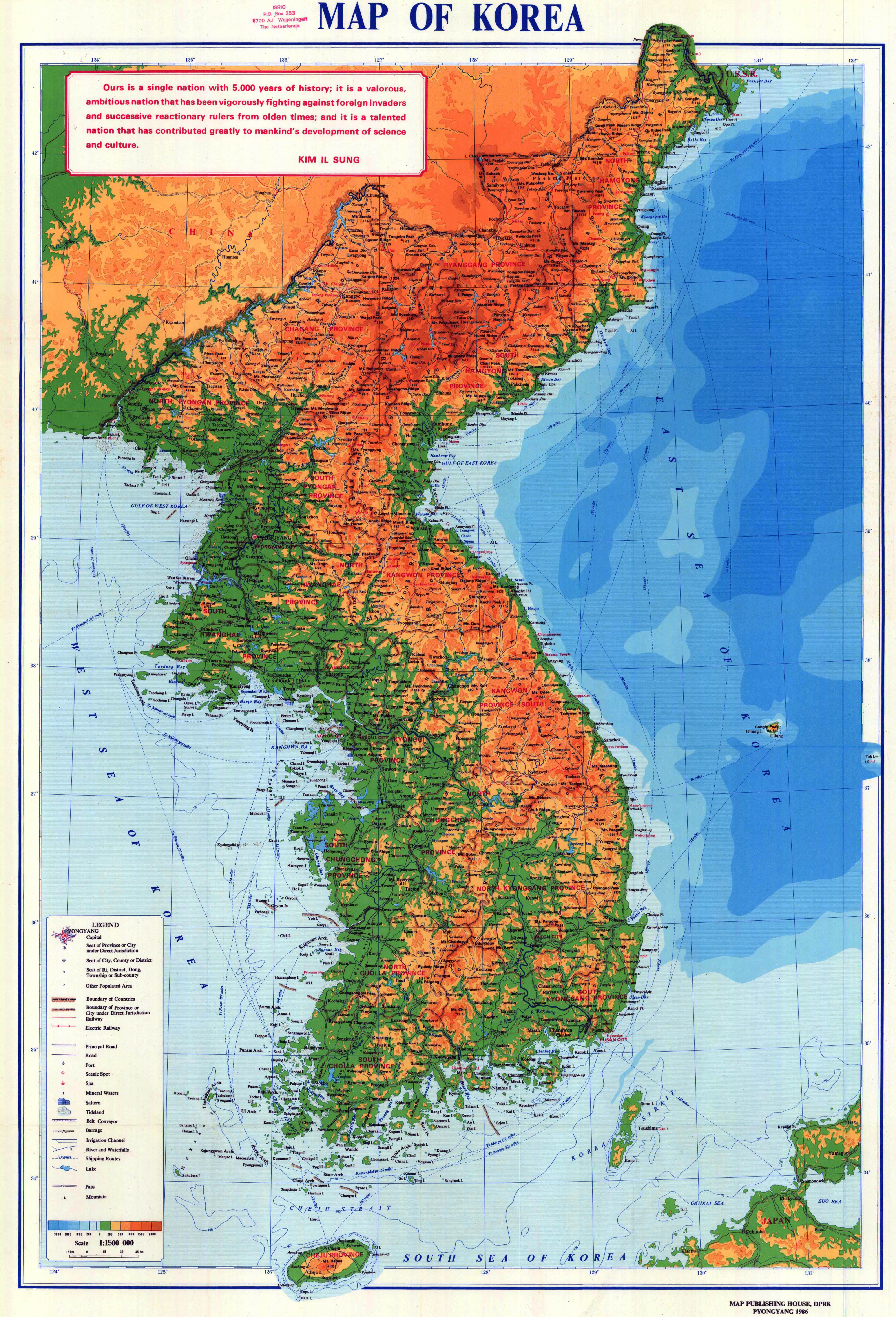
- (1986). "Map of Korea". Map Publishing House of the Democratic People's Republic of Korea.
- (1954). "''AMS Series L552''". Army Map Service.
- (2009). "?". National Geographic Information Institute.
- (2010). "Korea and Vicinity". National Geographic Information Institute.
- {{harvp. Boose. 2008
- {{harvp. Boose. 2008
- {{harvp. Boose. 2008
- {{harvp. Boose. 2008
- {{harvp. Boose. 2008
- The involvement of [[China]]'s [[People's Liberation Army. Boose. 2008
- {{harvp. Willoughby. 2014
This article was imported from Wikipedia and is available under the Creative Commons Attribution-ShareAlike 4.0 License. Content has been adapted to SurfDoc format. Original contributors can be found on the article history page.
Ask Mako anything about Riwŏn — get instant answers, deeper analysis, and related topics.
Research with MakoFree with your Surf account
Create a free account to save articles, ask Mako questions, and organize your research.
Sign up freeThis content may have been generated or modified by AI. CloudSurf Software LLC is not responsible for the accuracy, completeness, or reliability of AI-generated content. Always verify important information from primary sources.
Report