From Surf Wiki (app.surf) — the open knowledge base
Puakō, Hawaii
Census-designated place in Hawaii, U.S.
Census-designated place in Hawaii, U.S.
| Field | Value |
|---|---|
| official_name | Puakō |
| settlement_type | Census-designated place |
| image_map | Hawaii_County_Hawaii_Incorporated_and_Unincorporated_areas_Puako_Highlighted.svg |
| map_caption | Location in Hawaii County and the state of Hawaii |
| pushpin_map | |
| pushpin_label_position | |
| subdivision_type | Country |
| subdivision_name | United States |
| subdivision_type1 | State |
| subdivision_name1 | Hawaii |
| subdivision_type2 | County |
| subdivision_name2 | Hawaii |
| established_title2 | |
| established_title3 | |
| unit_pref | Imperial |
| area_footnotes | |
| area_total_km2 | 14.09 |
| area_land_km2 | 8.31 |
| area_water_km2 | 5.78 |
| area_total_sq_mi | 5.44 |
| area_land_sq_mi | 3.21 |
| area_water_sq_mi | 2.23 |
| population_as_of | 2020 |
| population_total | 267 |
| population_density_km2 | 32.15 |
| population_density_sq_mi | 83.26 |
| timezone | Hawaii-Aleutian |
| utc_offset | -10 |
| coordinates | |
| elevation_m | 0 |
| elevation_ft | 0 |
| postal_code_type | ZIP code |
| postal_code | 96743 |
| area_code | 808 |
| blank_name | FIPS code |
| blank_info | 15-65150 |
| blank1_name | GNIS feature ID |
| blank1_info | 0363460 |
Puakō is a census-designated place (CDP) in Hawaii County, Hawaii, United States. The population was 772 at the 2010 census, up from 429 at the 2000 census. The epicenter of the 2006 Kiholo Bay earthquake was some 10 km offshore of the village.
Geography
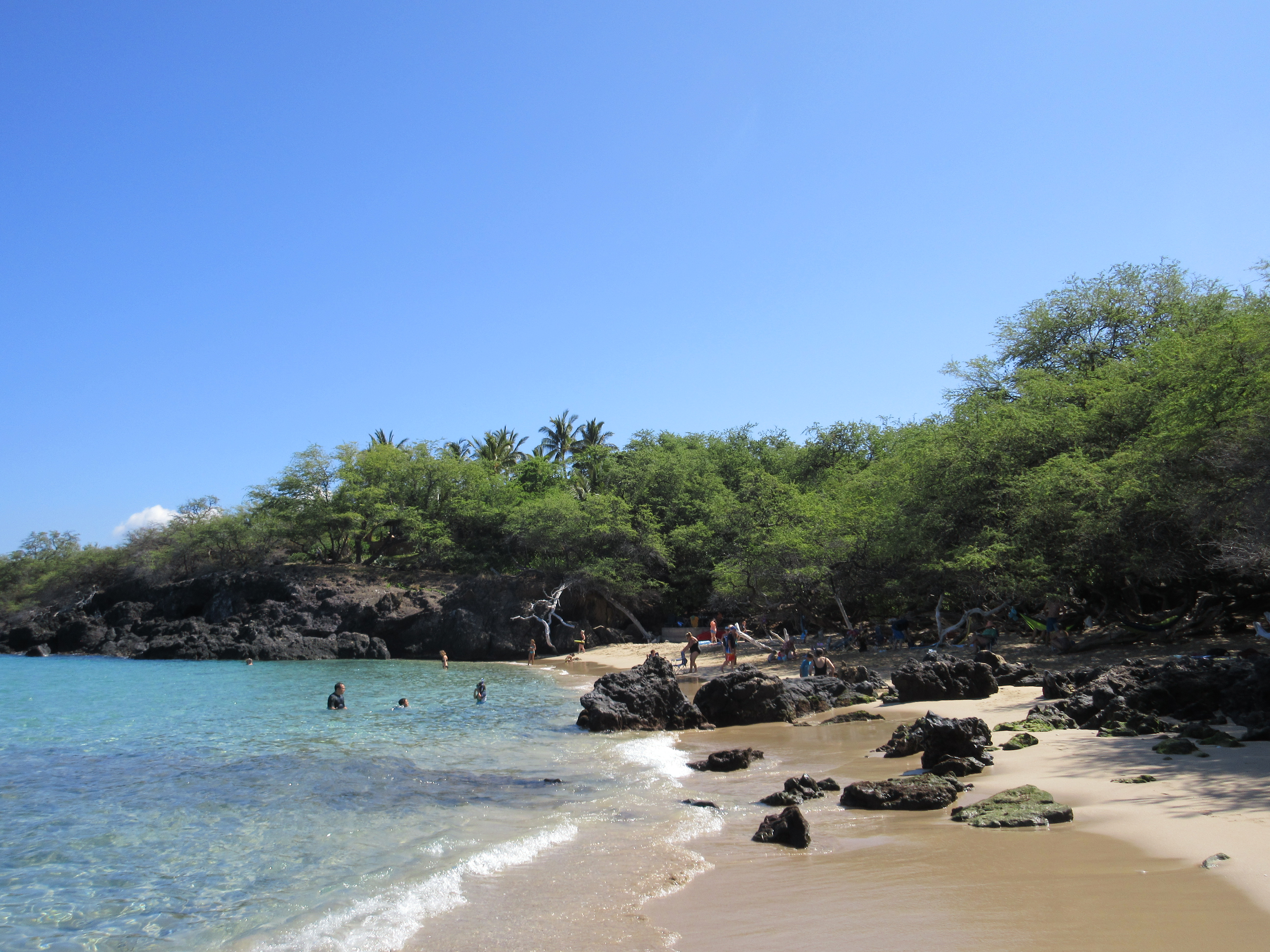
Puakō is located on the west side of the island of Hawaii at (19.967500, -155.846667). It is bordered to the west by the Pacific Ocean and to the east by Waikoloa Village. Hawaii Route 19 forms the eastern border of Puakō and leads northeast 14 mi to Waimea and southwest 28 mi to Kailua-Kona.
According to the United States Census Bureau, the Puakō CDP has a total area of 45.7 km2, of which 26.7 km2 are land and 19.0 km2, or 41.56%, are water.
Demographics
As of the census of 2000, there were 429 people, 215 households, and 118 families residing in the CDP. The population density was 41.6 PD/sqmi. There were 702 housing units at an average density of 68.1 /sqmi. The racial makeup of the CDP was 71.56% White, 11.42% Asian, 4.43% Pacific Islander, and 12.59% from two or more races. Hispanic or Latino of any race were 3.26% of the population.
There were 215 households, out of which 14.9% had children under the age of 18 living with them, 42.3% were married couples living together, 7.9% had a female householder with no husband present, and 45.1% were non-families. 31.6% of all households were made up of individuals, and 4.7% had someone living alone who was 65 years of age or older. The average household size was 2.00 and the average family size was 2.43.

In the CDP the population was spread out, with 11.7% under the age of 18, 4.9% from 18 to 24, 26.6% from 25 to 44, 41.7% from 45 to 64, and 15.2% who were 65 years of age or older. The median age was 48 years. For every 100 females, there were 109.3 males. For every 100 females age 18 and over, there were 111.7 males.
The median income for a household in the CDP was $60,250, and the median income for a family was $81,176. Males had a median income of $37,500 versus $31,250 for females. The per capita income for the CDP was $63,857. None of the families and 3.1% of the population were living below the poverty line, including no under eighteens and 4.2% of those over 64.
References
References
- "2020 U.S. Gazetteer Files". United States Census Bureau.
- (2024). "Puako HI ZIP Code". zipdatamaps.com.
- (April 2020}}{{cbignore). "Geographic Identifiers: 2010 Demographic Profile Data (G001): Puako CDP, Hawaii". U.S. Census Bureau.
- (2011-02-12). "US Gazetteer files: 2010, 2000, and 1990". [[United States Census Bureau]].
- "Census of Population and Housing". Census.gov.
- "U.S. Census website". [[United States Census Bureau]].
This article was imported from Wikipedia and is available under the Creative Commons Attribution-ShareAlike 4.0 License. Content has been adapted to SurfDoc format. Original contributors can be found on the article history page.
Ask Mako anything about Puakō, Hawaii — get instant answers, deeper analysis, and related topics.
Research with MakoFree with your Surf account
Create a free account to save articles, ask Mako questions, and organize your research.
Sign up freeThis content may have been generated or modified by AI. CloudSurf Software LLC is not responsible for the accuracy, completeness, or reliability of AI-generated content. Always verify important information from primary sources.
Report