From Surf Wiki (app.surf) — the open knowledge base
Lac-Supérieur
| Field | Value |
|---|---|
| name | Lac-Supérieur |
| settlement_type | Municipality |
| image_skyline | Lac-Superieur QC 1.JPG |
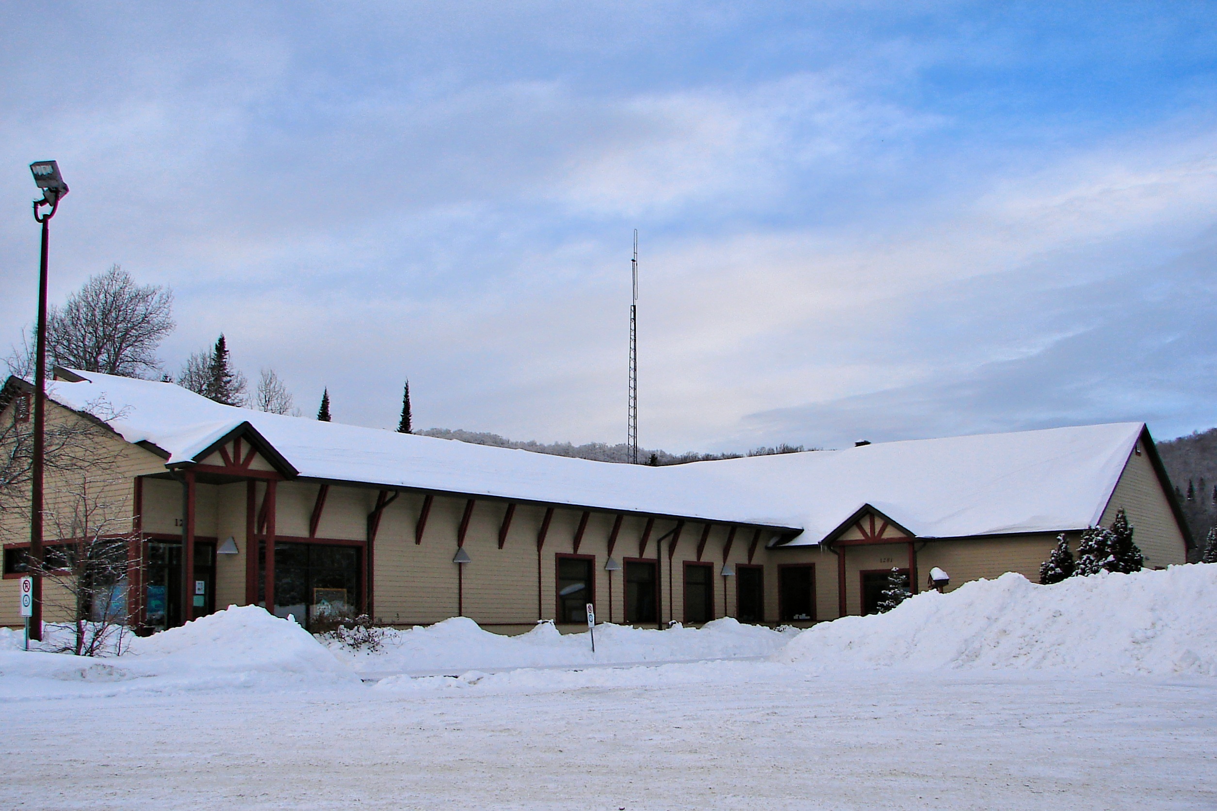
| image_caption | Lac-Supérieur in winter |
| flag_size | 120x100px |
| shield_size | 100x80px |
| image_map | Lac-Supérieur Quebec location diagram.png |
| map_caption | Location within Les Laurentides RCM |
| pushpin_map | Canada Central Quebec |
| pushpin_label_position | top |
| pushpin_label | Lac-Supérieur |
| pushpin_map_caption | Location in central Quebec |
| coordinates | |
| coordinates_footnotes | |
| subdivision_type | Country |
| subdivision_name | |
| subdivision_type1 | Province |
| subdivision_name1 | |
| subdivision_type2 | Region |
| subdivision_name2 | Laurentides |
| subdivision_type3 | RCM |
| subdivision_name3 | Les Laurentides |
| established_title | Settled |
| established_date | 1881 |
| established_title1 | Constituted |
| established_date1 | January 1, 1881 |
| government_footnotes | |
| leader_title | Mayor |
| leader_name | Steve Perreault |
| leader_title1 | Federal riding |
| leader_name1 | Laurentides—Labelle |
| leader_title2 | Prov. riding |
| leader_name2 | Labelle |
| area_footnotes | |
| area_total_km2 | 385.50 |
| area_land_km2 | 365.98 |
| population_footnotes | |
| population_total | 1972 |
| population_as_of | 2021 |
| population_density_km2 | 5.4 |
| population_blank1_title | Pop 2016-2021 |
| population_blank1 | 4.4% |
| population_blank2_title | Dwellings |
| population_blank2 | 1718 |
| timezone | EST |
| utc_offset | −5 |
| timezone_DST | EDT |
| utc_offset_DST | −4 |
| postal_code_type | Postal code(s) |
| postal_code | J0T 1J0 & J0T 1P0 |
| area_code | 819 |
| blank_name | Highways |
| blank_info | No major routes |
| website |
Lac-Supérieur () is a municipality in the Laurentides region of Quebec, Canada, part of the Les Laurentides Regional County Municipality. It is named after Lake Superior (Lac Supérieur) which is located in the Laurentian Mountains, due east of Mont Tremblant Resort. The community of Lac-Supérieur is just south of the lake, which itself is ringed with cottages. The entire northern portion of the municipality is mostly undeveloped and part of the Mont-Tremblant National Park.
History
The municipality was formed in 1881 and initially named Wolfe, in tribute to British General James Wolfe. Its first settlers were Canadians repatriated from California and the western United States.
In 1944, the municipality was renamed to Saint-Faustin, the name of the parish founded in 1878 in what is now part of Mont-Blanc. In 1957, it was renamed again to its present name, a designation previously assigned to the post office which opened in 1913.
Demographics
Population trend:
- Population in 2021: 1,972 (2016 to 2021 population change: 4.4%)
- Population in 2016: 1,888
- Population in 2011: 1,892
- Population in 2006: 1,745
- Population in 2001: 1,439
- Population in 1996: 1,199
- Population in 1991: 952
- Population in 1986: 852
- Population in 1981: 709
- Population in 1976: 481
- Population in 1971: 394
- Population in 1966: 346
- Population in 1961: 386
- Population in 1956: 1,093
- Population in 1951: 1,175
- Population in 1941: 1,197
- Population in 1931: 1,211
- Population in 1921: 1,482
- Population in 1911: 1,467
- Population in 1901: 1,283
- Population in 1891: 669
Private dwellings occupied by usual residents: 996 (total dwellings: 1,718)
Mother tongue:
- English as first language: 5.6%
- French as first language: 91.1%
- English and French as first language: 1.0%
- Other as first language: 2.0%
Education
Sainte Agathe Academy (of the Sir Wilfrid Laurier School Board) in Sainte-Agathe-des-Monts serves English-speaking students in this community for both elementary and secondary levels.
References
References
- [https://www12.statcan.gc.ca/census-recensement/2021/dp-pd/prof/details/page.cfm?LANG=E&GENDERlist=1&STATISTIClist=1,4&DGUIDlist=2021A00052478095&HEADERlist=0&SearchText=Lac-Superieur Statistics Canada 2021 Census - Lac-Supérieur census profile]
- "Lac-Supérieur (Municipalité)". Commission de toponymie du Québec.
- Statistics Canada: [[Canada 1996 Census. 1996]], [[Canada 2001 Census. 2001]], [[Canada 2006 Census. 2006]], [[Canada 2011 Census. 2011]], [[Canada 2016 Census. 2016]], [[Canada 2021 Census. 2021]] census
- link. (2017-09-04 and [http://www.swlauriersb.qc.ca/docs/Transportation%20maps%20zone/189%20-%20WEB%20STE-AGATHE%20HS.pdf Secondary zone map] {{Webarchive). link. (2017-09-04 - Note that all areas covered in the elementary map are also covered in the secondary one.)
- {{mamrot. 78095
- {{toponymie. 33361
This article was imported from Wikipedia and is available under the Creative Commons Attribution-ShareAlike 4.0 License. Content has been adapted to SurfDoc format. Original contributors can be found on the article history page.
Ask Mako anything about Lac-Supérieur — get instant answers, deeper analysis, and related topics.
Research with MakoFree with your Surf account
Create a free account to save articles, ask Mako questions, and organize your research.
Sign up freeThis content may have been generated or modified by AI. CloudSurf Software LLC is not responsible for the accuracy, completeness, or reliability of AI-generated content. Always verify important information from primary sources.
Report