From Surf Wiki (app.surf) — the open knowledge base
Keaʻau, Hawaii
Census-designated place in Hawaii, U.S.
.jpg)
Census-designated place in Hawaii, U.S.
| Field | Value |
|---|---|
| official_name | Keaau |
| settlement_type | Census-designated place |
| image_map | Hawaii_County_Hawaii_Incorporated_and_Unincorporated_areas_Keaau_Highlighted.svg |
| map_caption | Location in Hawaii County and the state of Hawaii |
| pushpin_map | |
| pushpin_label_position | |
| subdivision_type | Country |
| subdivision_name | United States |
| subdivision_type1 | State |
| subdivision_name1 | Hawaii |
| subdivision_type2 | County |
| subdivision_name2 | Hawaii |
| established_title2 | |
| established_title3 | |
| unit_pref | Imperial |
| area_footnotes | |
| area_total_km2 | 16.25 |
| area_land_km2 | 16.25 |
| area_water_km2 | 0.00 |
| area_total_sq_mi | 6.27 |
| area_land_sq_mi | 6.27 |
| area_water_sq_mi | 0.00 |
| population_as_of | 2020 |
| population_total | 1195 |
| population_density_km2 | 73.56 |
| population_density_sq_mi | 190.50 |
| timezone | Hawaii-Aleutian |
| utc_offset | -10 |
| coordinates | |
| elevation_m | 104 |
| elevation_ft | 341 |
| postal_code_type | ZIP code |
| postal_code | 96749 |
| area_code | 808 |
| blank_name | FIPS code |
| blank_info | 15-32900 |
| blank1_name | GNIS feature ID |
| blank1_info | 0360892 |
Keaau is a census-designated place (CDP) in Hawaii County, Hawaii. located in the District of Puna. The population was 1,195 at the time of the 2020 census. The population decreased by roughly 50% from 2,253 at the time of the 2010 census.
History
Keaau was called ‘Ōla‘a and in 1899, the Olaa Sugar Company leased about 4,000 acres of land, for growing sugarcane.
Geography
Keaau is on the east side of the island of Hawaii at (19.621072, -155.041706). It is bordered to the southwest by Kurtistown. Hilo is 8 mi to the north. The junction of Hawaii Route 11 (the Hawaii Belt Road) and Hawaii Route 130 (Keaau-Pahoa Road) is in the northern part of the community. According to the United States Census Bureau, the CDP has a total area of 6.7 km2, all of it land.
The Board on Geographic Names officially designated the populated place as Keaau in 2003.
Demographics
2010 Census data
At the 2010 census there were 2,253 people in 701 households residing in the CDP. The population density was 901.2 PD/sqmi. There were 757 housing units at an average density of 302.8 /sqmi. The racial makeup of the CDP was 12.38% White, 0.22% African American, 0.18% American Indian & Alaska Native, 52.02% Asian, 7.50% Native Hawaiian & Pacific Islander, 0.44% from other races, and 27.25% from two or more races. Hispanic or Latino of any race were 8.74%.
Of the 701 households, 28.0% had children under the age of 18 living with them. The average household size was 3.21.
In the Keaau CDP the population was spread out, with 23.7% under the age of 18, 9.5% from 18 to 24, 9.6% from 25 to 34, 19.6 from 35 to 49, 20.4% from 50 to 64, and 17.2% 65 or older. For every 100 females, there were 99.6 males. For every 100 males there were 100.4 females.
The median household income was $39,722 and the median family income in 2000 was $43,347. Males had a median income in 2000 of $27,344 versus $23,287 for females. The per capita income for the CDP in 2000 was $14,657. About 9.6% of families and 12.3% of the population were below the poverty line in 2000, including 14.9% of those under age 18 and 9.0% of those age 65 or over.
Education
The statewide school district is the Hawaii State Department of Education, and it covers Hawaii County. Area schools include:
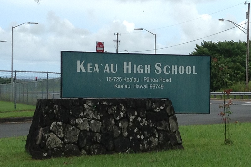
- Keaʻau High School - Opened in 1999
- Keaʻau Middle School
- Keaʻau Elementary School
The Hawaii State Public Library System operates the Keaau Public and School Library.
Points of interest
- Hiiaka's Healing Herb Garden
- Mauna Loa Macadamia Nut Corporation visitors center between Hilo and Keaau
References
References
- "2020 U.S. Gazetteer Files". United States Census Bureau.
- "US Census Bureau - 2010 Population Finder - Keaau CDP".
- {{cite magazine. "Kea'au, A Point in Time". (1 July 2019). link
- (28 December 1901). "Olaa's big sugar mill has commenced grinding". The Pacific commercial advertiser.
- (2011-02-12). "US Gazetteer files: 2010, 2000, and 1990". [[United States Census Bureau]].
- (April 2020}}{{cbignore). "Geographic Identifiers: 2010 Demographic Profile Data (G001): Keaau CDP, Hawaii". U.S. Census Bureau.
- cf. {{GNIS. 360892. Kea{{Okinaau
- "Census of Population and Housing". Census.gov.
- "U.S. Census website". [[United States Census Bureau]].
- Geography Division. (December 21, 2020). "2020 CENSUS - SCHOOL DISTRICT REFERENCE MAP: Hawaii County, HI". [[U.S. Census Bureau]].
- "Home". [[Keeau High School.
- "Home". Keaʻau Middle School.
- "Home". Keaʻau Elementary School.
- "Keaau Public and School Library". [[Hawaii State Public Library System]].
- "Mauna Loa Macadamia Nut Factory & Visitors Center". [[Hawaii Visitors and Convention Bureau]].
This article was imported from Wikipedia and is available under the Creative Commons Attribution-ShareAlike 4.0 License. Content has been adapted to SurfDoc format. Original contributors can be found on the article history page.
Ask Mako anything about Keaʻau, Hawaii — get instant answers, deeper analysis, and related topics.
Research with MakoFree with your Surf account
Create a free account to save articles, ask Mako questions, and organize your research.
Sign up freeThis content may have been generated or modified by AI. CloudSurf Software LLC is not responsible for the accuracy, completeness, or reliability of AI-generated content. Always verify important information from primary sources.
Report