From Surf Wiki (app.surf) — the open knowledge base
Gōdo, Gifu
| Field | Value |
|---|---|
| name | Gōdo |
| native_name | 神戸町 |
| native_name_lang | ja |
| settlement_type | Town |
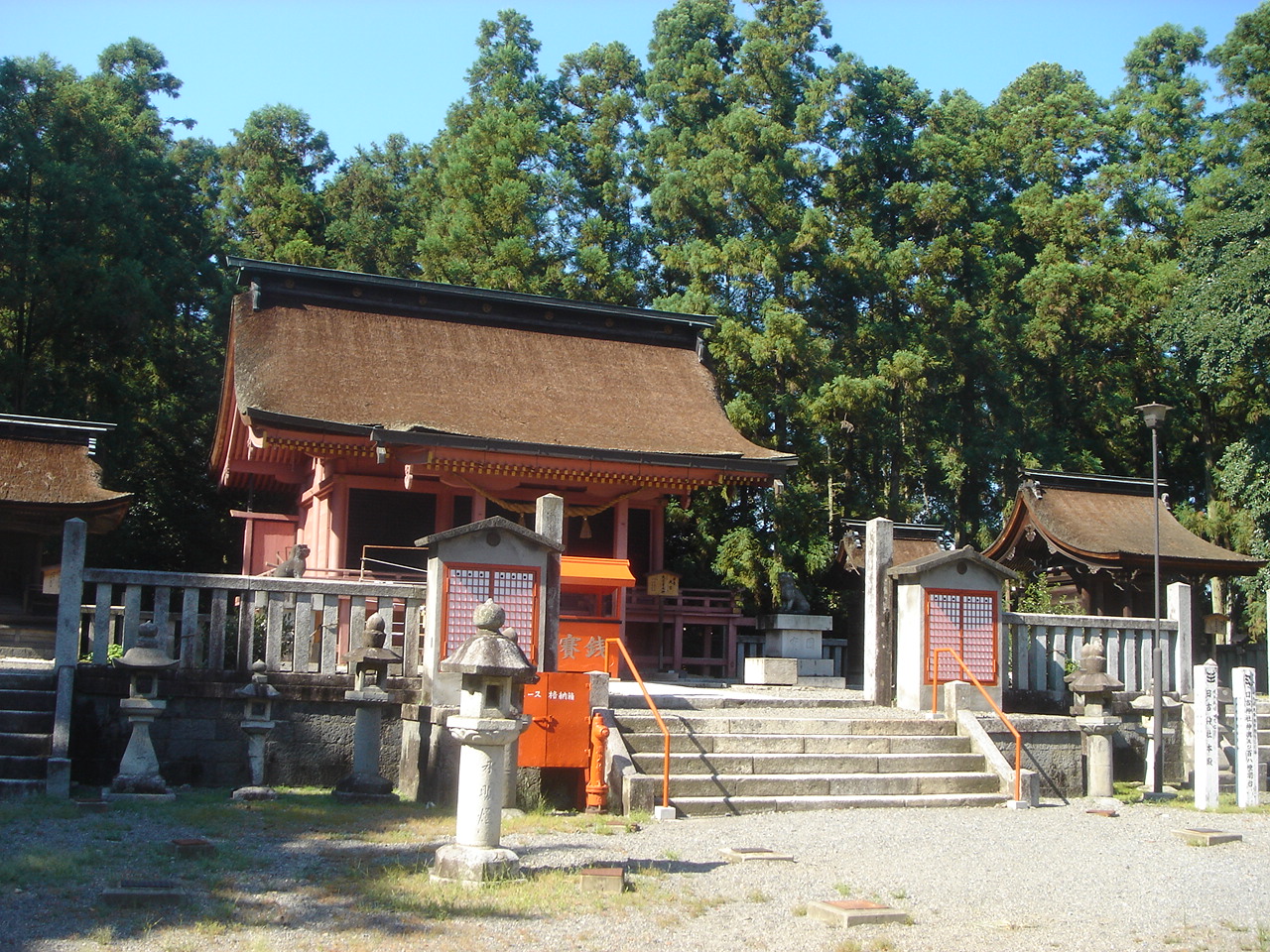
| image_skyline | Godo Town Hall ac.jpg |
| image_caption | Gōdo Town Hall |
| image_flag | Flag of Godo Gifu.svg |
| image_seal | Emblem of Godo, Gifu.svg |
| image_map | Godo in Gifu Prefecture Ja.svg |
| map_caption | Location of Gōdo in Gifu Prefecture |
| pushpin_map | Japan |
| pushpin_label_position | |
| pushpin_map_caption | |
| coordinates | |
| coor_pinpoint | |
| coordinates_footnotes | tags -- |
| subdivision_type | Country |
| subdivision_name | Japan |
| subdivision_type1 | Region |
| subdivision_name1 | Chūbu |
| subdivision_type2 | Prefecture |
| subdivision_name2 | Gifu |
| subdivision_type3 | District |
| subdivision_name3 | Anpachi |
| established_title | |
| seat_type | |
| government_footnotes | tags -- |
| leader_name1 | |
| total_type | |
| unit_pref | |
| area_magnitude | |
| area_footnotes | tags -- |
| area_total_km2 | 18.78 |
| elevation_footnotes | tags -- |
| population_footnotes | tags -- |
| population_total | 19361 |
| population_as_of | December 1, 2016 |
| population_density_km2 | auto |
| population_demonym | |
| timezone1 | Japan Standard Time |
| utc_offset1 | +9 |
| area_code_type | |
| blank_name_sec1 | City symbols |
| blank_info_sec1 | |
| blank1_name_sec1 | - Tree |
| blank1_info_sec1 | Ilex integra |
| blank2_name_sec1 | - Flower |
| blank2_info_sec1 | Rose |
| blank3_name_sec1 | - Bird |
| blank_name_sec2 | Phone number |
| blank_info_sec2 | 0584-27-3111 |
| blank1_name_sec2 | Address |
| blank1_info_sec2 | Ōaza Gōdo 1111, Gōdo-chō, Anpachi-gun, Gifu-ken 503-2392 |
| website |
Gōdo is a town located in Gifu, Japan. , the town had an estimated population of 19,361 and a population density of 1000 persons per km2, in 6998 households. The total area of the town was 18.78 sqkm.
Geography
Gōdo is located in the northwestern portion of the Nōbi Plain in southwestern Gifu Prefecture. The town has a climate characterized by characterized by hot and humid summers, and mild winters (Köppen climate classification Cfa). The average annual temperature in Gōdo is 15.2 °C. The average annual rainfall is 1952 mm with September as the wettest month. The temperatures are highest on average in August, at around 27.6 °C, and lowest in January, at around 3.9 °C.
Neighbouring municipalities
- Gifu Prefecture
- Ikeda
- Mizuho
- Ōgaki
- Ōno
Demographics
Per Japanese census data, the population of Gōdo peaked around the year 2000 and has declined slightly since. | 1970 | 13,615 | 1980 | 19,338 | 1990 | 20,704 | 2000 | 20,750 | 2010 | 20,065 | 2020 | 18,585
History
The area around Gōdo was part of traditional Mino Province, and was the location of a shōen controlled by Enryaku-ji during the Heian and Kamakura periods, During the Edo period, it was mostly controlled by Ōgaki Domain. During the post-Meiji restoration cadastral reforms, the area was organised into Anpachi District, Gifu, and the village of Gōdo was established with the creation of the modern municipalities system on April 1, 1889. Gōdo was raised to town status on August 5, 1892. The town annexed the village of Kita-Hirano on April 1, 1950 and the villages of Shimomiya and Minami-Hirano on April 1, 1954. The town borders expanded on April 1, 1960 by the annexation of the Nishizakura section of the neighboring town Ōno. In 2004, a proposed merger with the neighboring city of Ōgaki was rejected by a referendum.
Economy
The mainstay of the local economy is agriculture (rice, vegetables, dairy, poultry), and light industry (computer related products, dairy products, chemicals).
Education
Gōdo has four public elementary schools and two public middle schools operated by the town government. The town does not have a high school.
Transportation
Railway
- [[File:Yoro Railway Logo.svg|20px]] Yōrō Railway Yōrō Line
Highway
The town is not served by any national highways.
References
References
- link. Gōdo official website
- [http://www.town.godo.gifu.jp Gōdo town official statistics]
- [https://en.climate-data.org/location/769540/ Gōdo climate data]
- [https://www.citypopulation.de/php/japan-gifu.php Anpachi population statistics]
This article was imported from Wikipedia and is available under the Creative Commons Attribution-ShareAlike 4.0 License. Content has been adapted to SurfDoc format. Original contributors can be found on the article history page.
Ask Mako anything about Gōdo, Gifu — get instant answers, deeper analysis, and related topics.
Research with MakoFree with your Surf account
Create a free account to save articles, ask Mako questions, and organize your research.
Sign up freeThis content may have been generated or modified by AI. CloudSurf Software LLC is not responsible for the accuracy, completeness, or reliability of AI-generated content. Always verify important information from primary sources.
Report