From Surf Wiki (app.surf) — the open knowledge base
Benaoján
| Field | Value |
|---|---|
| name | Benaoján |
| settlement_type | Municipality |
| image_skyline | Benaoján.jpg |
| image_shield | Escudo de Benaoján (Málaga).svg |
| pushpin_map | Spain |
| pushpin_map_caption | Location in Spain |
| subdivision_type | Country |
| subdivision_name | Spain |
| subdivision_type1 | Autonomous community |
| subdivision_name1 | Andalusia |
| subdivision_type2 | Province |
| subdivision_name2 | Málaga |
| subdivision_type3 | Serranía de Ronda1 |
| coordinates | |
| elevation_m | 524 |
| area_total_km2 | 32 |
| population_as_of | |
| population_footnotes | |
| population_total | |
| population_demonym | Benaojanos |
| population_density_km2 | auto |
| blank_name_sec1 | Official language(s) |
| blank_info_sec1 | Spanish |
| timezone | CET |
| utc_offset | +1 |
| timezone_DST | CEST |
| utc_offset_DST | +2 |
| postal_code_type | Postal code |
| postal_code | 29370 |
| area_code_type | Dialing code |
| leader_title | Mayor |
| leader_name | Soraya García |
| website |
Benaoján () is a town and municipality in the province of Málaga, part of the autonomous community of Andalusia in southern Spain. It is located within the Sierra de Grazalema Natural Park. Its surface area is 32 km2. The municipality is situated approximately 17 kilometers from Ronda and 116 km from the capital of the province. It is situated at an altitude of 524 meters. Its inhabitants are called benaojanos.
Its name is of Arab origin. Some believe it means children of Oján, from the Berber tribe, and others think "home of the baker."
Geography
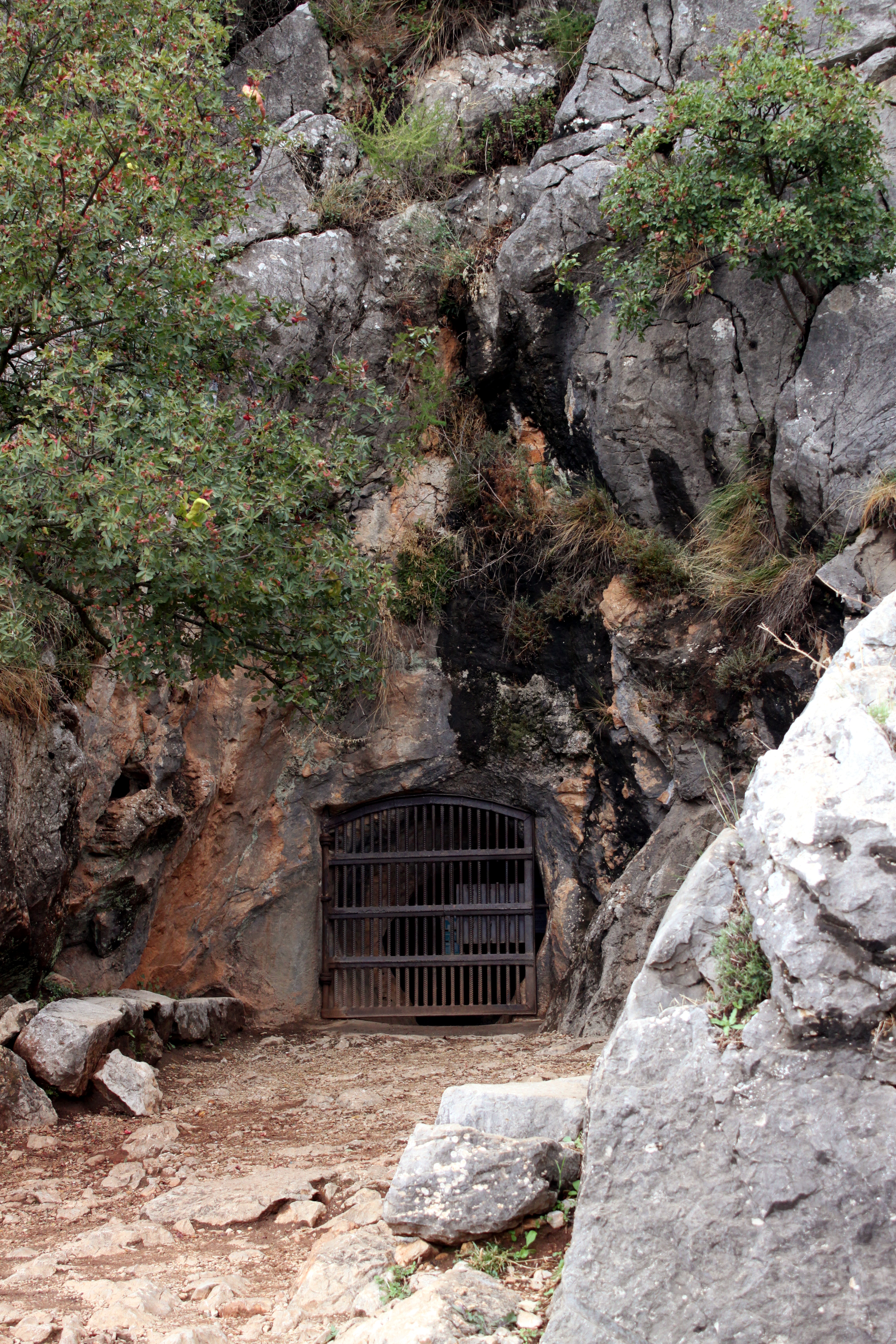
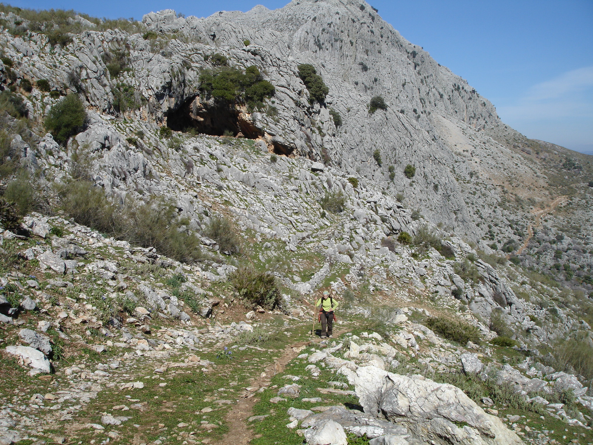
The municipality has two towns: Benaoján and Benaoján Station, the first being the center. It has a population of 1,683 people. It has a population density of 50.37 inhabitants/km2. The topography is very rugged karst mountains highlighting the two major geological formations: the Hundidero-Gato system and Cave of the Bathing Pool, of great importance for its prehistoric paintings dating from the Upper Paleolithic, for which it has been declared National Monument of Rock Art. Also, there are other geological cavities of importance scattered throughout the municipality.
It is uneven terrain because of the mountain ranges of Montalate and Líbar and drained by the Guadiaro river. It is highlighted by its oaks, pastures rainfed by the Mediterranean and sheep industry. Its cuisine is highlighted by the sausages and other pork products and dried fruits (especially almonds).
It is also the exact Antipode of the suburb of Browns Bay in Auckland, New Zealand.
History
The first evidence of settlement in the land of the current municipality of Benaoján dating back some 250,000 years ago, when Homo heidelbergensis groups using transverse valleys of the Sierra Bética moved between coastal and inland Andalucia. Later the Neantherthal man populated these mountains.
Some 27,000 years ago Homo sapiens arrived. They were living for more than 20,000 years in the Cave of the Bathing Pool, whose walls would contain hundreds of pictorial representations of The Pool, one of the caves with the most important rock art.
When the last ice age ended 10,000 years ago, the fauna of large mammals that inhabited these lands changed which changed the climate as well, which in turn made man's lifestyle change.
Sister cities
- Germany Knittlingen (Germany)
References
This article was imported from Wikipedia and is available under the Creative Commons Attribution-ShareAlike 4.0 License. Content has been adapted to SurfDoc format. Original contributors can be found on the article history page.
Ask Mako anything about Benaoján — get instant answers, deeper analysis, and related topics.
Research with MakoFree with your Surf account
Create a free account to save articles, ask Mako questions, and organize your research.
Sign up freeThis content may have been generated or modified by AI. CloudSurf Software LLC is not responsible for the accuracy, completeness, or reliability of AI-generated content. Always verify important information from primary sources.
Report