From Surf Wiki (app.surf) — the open knowledge base
Arbus, Pyrénées-Atlantiques
| Field | Value |
|---|---|
| name | Arbus |
| commune status | Commune |
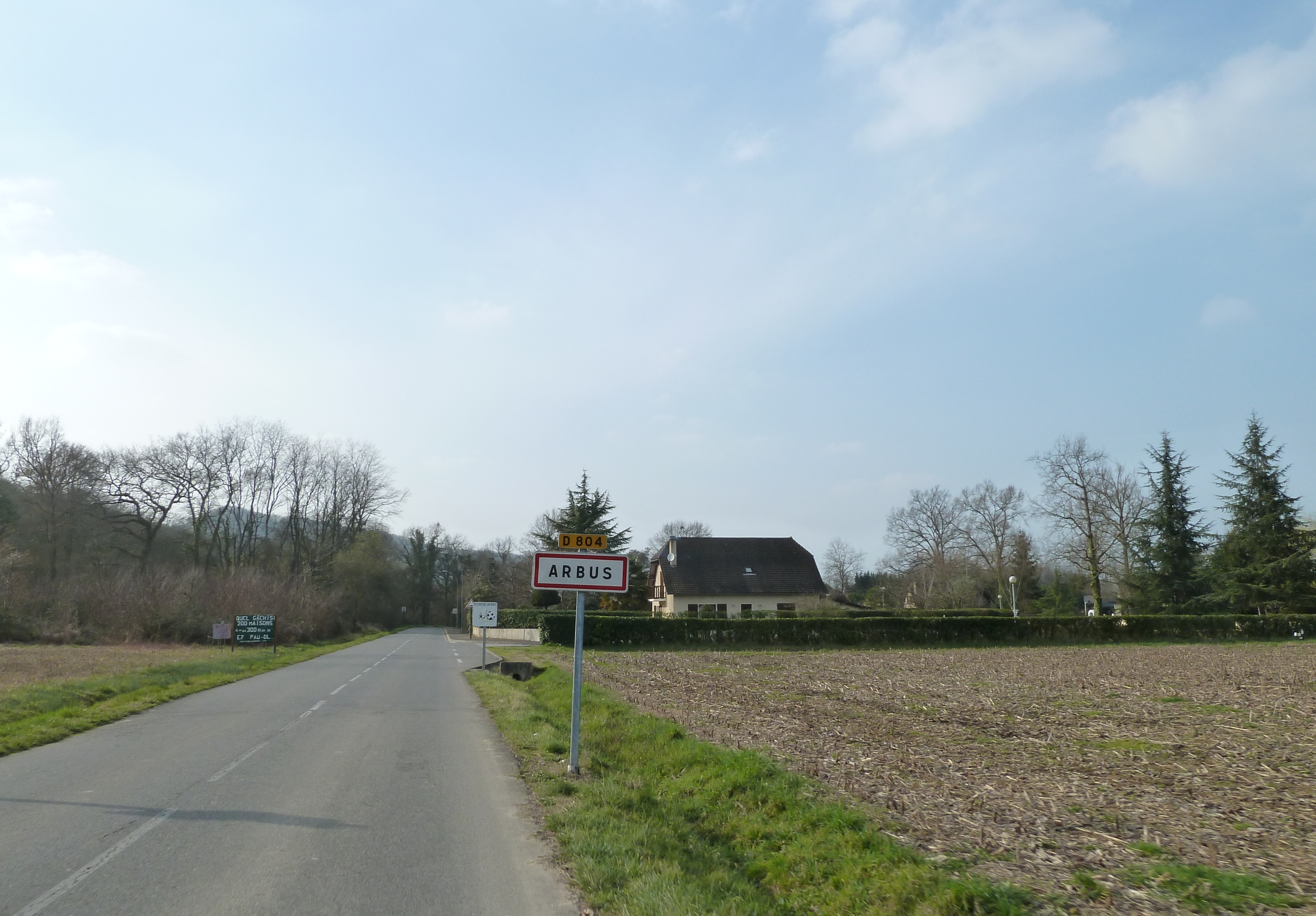
| image | Arbus.jpg |
| caption | Arbus Village |
| arrondissement | Pau |
| canton | Lescar, Gave et Terres du Pont-Long |
| INSEE | 64037 |
| postal code | 64230 |
| mayor | Didier Larrieu |
| term | 2020–2026 |
| intercommunality | CA Pau Béarn Pyrénées |
| coordinates | |
| elevation m | 144 |
| elevation min m | 125 |
| elevation max m | 284 |
| area km2 | 13.89 |
| population | |
| population date | |
| population footnotes |
Arbus (; ) is a commune in the Pyrénées-Atlantiques department in the Nouvelle-Aquitaine region of southwestern France.
Geography


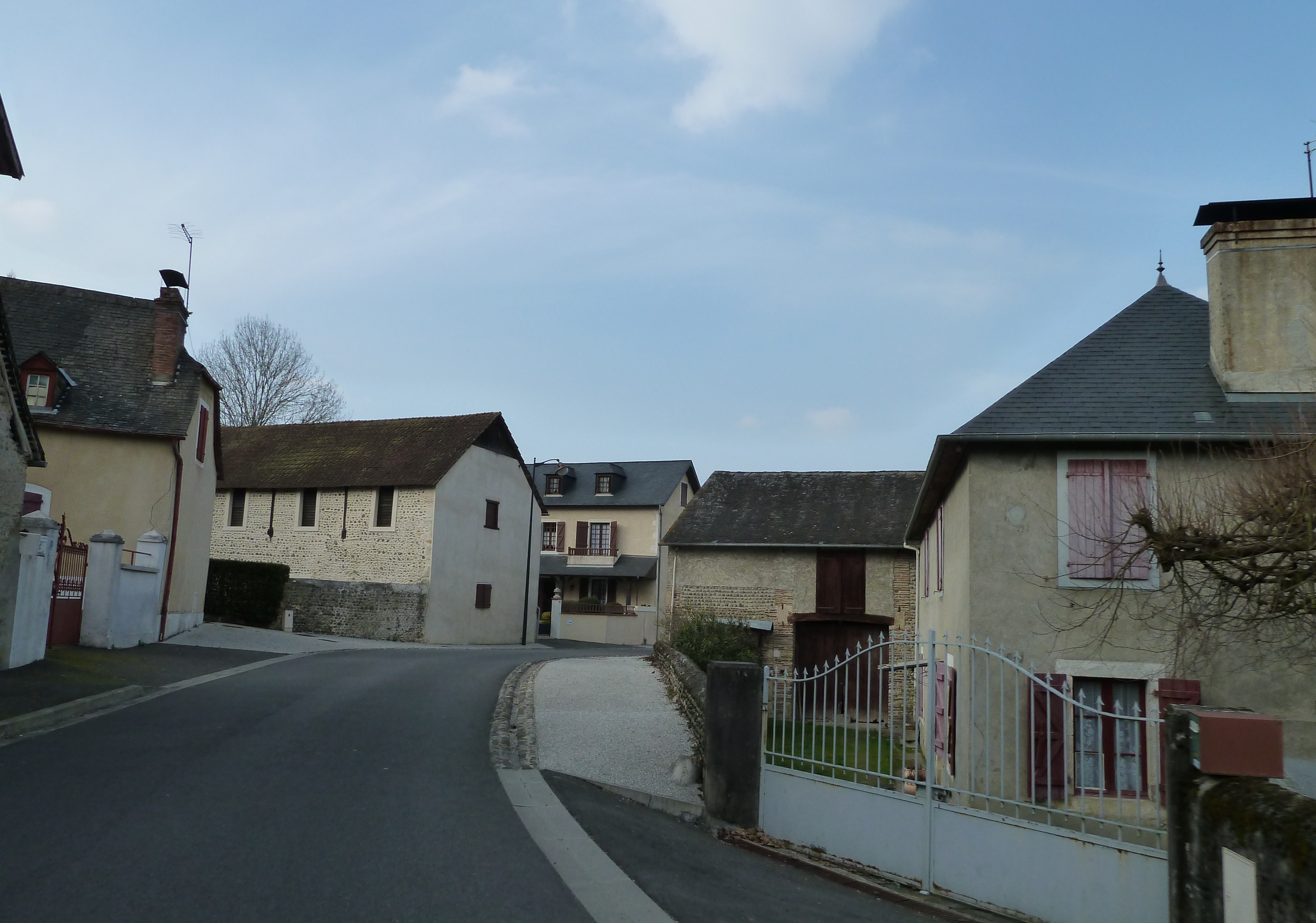
Arbus is located in the urban area of Pau 15 km to the north-west of the city and some 35 km south-east of Orthez mostly on the south bank of the Gave de Pau. Access to the commune is on the D2 road from Laroin in the south-east passing through the north of the commune to Abos in the north-west. Access to the village is by the D804 running off the D2 in the commune and continuing to Artiguelouve in the south-east and also by the D229 from the village to Parbayse in the south-west. The commune is mixed forest and farmland with large forests in the west, south, and south-east.
Located in the Drainage basin of the Adour, the Gave de Pau flows through the northern part of the commune with some of its tributaries flowing through the rest of the commune: the Juscle and Baise Lasseube, as well as their tributaries, the Sibé stream, and the old Canal du Moulin which is itself joined in the commune by the Arrious stream.
Historical places and hamlets
- Alicq
- Barraqué
- Barrère
- Bédat
- Bellocq
- Berduc
- Bert
- Biscar
- Bordes
- Candau
- Cap d'Arrandes
- Castaing
- Castéra
- Catroui
- Chigé
- Croutzé
- Fages
- Ferrou
- Gaurrat
- Laborde
- Labourdette
- Lacroix
- Lagré
- Lahitte
- Lalanne
- Laplace
- Larribot
- Larrieste
- Laugary
- Manciet
- Monget
- Mounes
- Parisot
- Pé de Lahore
- Peyrounet
- Pommé
- Priou
- Ramonteu
- Rauly
- Saint-Sorque
- Sarthou
- Serviau
- Sibé
- Sibers
- Tourangé
- Les Tourne-Brides
- Tuheil
- Vigneau
Neighbouring communes and villages
Toponymy
The commune name in béarnais is Arbús (according to the classical norm of Occitan). According to Michel Grosclaude, there is an aquitane root **arb-*, meaning "grass" (close to alpe), and a collective suffix -untz giving a meaning of "a place where there is grass".
The following table details the origins of the commune name and other names in the commune.
| Name | Spelling | Date | Source | Page | Origin | Description |
|---|---|---|---|---|---|---|
| Arbus | Arbus | 1170 | Raymond | Barcelona | Village | |
| Arbuus | 1307 | Raymond | Orthez | |||
| Arbus | 1385 | Grosclaude | Census | |||
| Arbus | 1750 | Cassini | ||||
| Alicq | Alicq | 1863 | Raymond | Farm | ||
| Loubagnon | Looubagnon | 1775 | Raymond | Terrier | Place | |
| Saint-Mamet | Saint-Mamet | 1863 | Raymond | Place | ||
| Sibé | Le Ruisseau de Sibe | 1863 | Raymond | Stream, tributary of the Baïse de Lasseube |
Sources:
- Raymond: Topographic Dictionary of the Department of Basses-Pyrenees, 1863, on the page numbers indicated in the table.
- Grosclaude: Toponymic Dictionary of communes, Béarn, 2006
- Cassini: Cassini Map from 1750
Origins:
- Barcelona: Titles of Barcelona.
- Orthez: Cartulary of Orthez.
- Census: Census of Béarn
- Terrier: Terrier of Arbus.
History
Paul Raymond on page 5 of his 1863 dictionary noted that in 1385 Arbus had 40 fires and depended on the bailiwick of Pau. The town was a dependency of the Marquisate of Gassion.
Administration
List of Successive Mayors
| From | To | Name |
|---|---|---|
| 1995 | 2026 | Didier Larrieu |
Inter-communality
The commune of Arbus is part of eight inter-communal structures:
- the Communauté d'agglomération Pau Béarn Pyrénées;
- the SIVU for the management and development of the watercourses in the Baïses basin;
- the SIVU for aged and infirm services for the Canton of Lescar;
- the AEP association for Gave and Baïse;
- the association for the management of the banks of the Juscle and its tributaries;
- the association for sanitation of the communes in the valleys of the Juscle and the Baïse;
- the Energy association for Pyrénées-Atlantiques;
- the inter-communal syndicate for defence against floods of the Gave de Pau.
Demography
The inhabitants of the commune are known as Arbusiens or Arbusiennes in French.
|1793 |775 |1800 |673 |1806 |663 |1821 |751 |1831 |869 |1836 |847 |1841 |837 |1846 |900 |1851 |841 |1856 |823 |1861 |776 |1866 |765 |1872 |730 |1876 |758 |1881 |712 |1886 |700 |1891 |636 |1896 |637 |1901 |637 |1906 |614 |1911 |582 |1921 |568 |1926 |499 |1931 |494 |1936 |507 |1946 |445 |1954 |415 |1962 |469 |1968 |470 |1975 |537 |1982 |663 |1990 |965 |1999 |1031 |2007 |1082 |2012 |1106 |2017 |1205
Economy
The commune is part of the Appellation d'origine contrôlée (AOC) zone of Winemakers of Jurançon and of Béarn and partially in the AOC zone for Ossau-iraty.
Culture and Heritage
Religious Heritage
The Parish Church of Saint-Mamer (1868) is registered as an historical monument.
Amenities
Education
The town has a primary school.
Notable people linked to the commune
- Arnaud II of Arbus (or Arnaldus of Arbouze) from 1303 to 1320 was Bishop of Lescar.
- Pommiès André, born in 1904 at Bordeaux and died in 1972 at Arbus was a French military Hero of the Resistance.
- Georges Lapassade, born in 1924 at Arbus and died in 2008 at Stains, was a philosopher and French sociologist.
References
References
- (13 September 2022). "Répertoire national des élus: les maires". data.gouv.fr, Plateforme ouverte des données publiques françaises.
- [https://www.google.com/maps/place/Arbus,+France/@43.3253214,-0.509406,14z/data=!3m1!4b1!4m2!3m1!1s0xd5650a10655cb47:0x40665174813ad60 Google Maps]
- IGN]] {{in lang. fr
- Paul Raymond]], Imprimerie nationale, 1863, Digitised from Lyon Public Library 15 June 2011 {{in lang. fr
- [[Michel Grosclaude]], ''Toponymic Dictionary of communes, Béarn'', Edicions reclams & Édition Cairn - 2006, 416 pages, {{ISBN. 2-35068-005-3 {{in lang. fr
- [http://rumsey.geogarage.com/maps/cassinige.html?lat=43.3342&lon=-0.5047&zoom=13 Cassini Map 1750 – Arbus]
- Titles published in the proofs of the ''History of Béarn'' by [[Pierre de Marca]] {{in lang. fr
- Cartulary of [[Orthez]] called ''Martinet'', manuscript from the 14th to the 17th centuries in the Archives of the Orthez town hall {{in lang. fr
- Manuscript from the 14th century - Departmental Archives of Pyrénées-Atlantiques {{in lang. fr
- Manuscript from the 18th century in the Departmental Archives of Pyrénées-Atlantiques {{in lang. fr
- [http://www.francegenweb.org/mairesgenweb/resultcommune.php?id=22146 List of Mayors of France]
- [https://www.habitants.fr/pyrenees-atlantiques-64 Pyrénées-Atlantiques], habitants.fr
- {{Cassini-Ehess. 1074. Arbus
- [https://www.insee.fr/fr/statistiques/4515315?geo=COM-64037#ancre-POP_T1 Population en historique depuis 1968], INSEE
- Ministry of Culture, Mérimée {{Mérimée. IA64000554. IA64000554 Parish Church of Saint-Mamer {{in lang. fr
- [http://www.arbus.fr/enseignement/inscriptions/index.html The Arbus School on the commune website] {{Webarchive. link. (2014-02-23 {{in lang). fr
- Nominal spelling given by ''La Grande Encyclopédie''
- Nominal spelling given by the ''Trésor de Chronologie''{{in lang. fr
- Date given by ''La Grande Encyclopédie'' and the ''Trésor de Chronologie''
- Date given by ''La Grande Encyclopédie''
This article was imported from Wikipedia and is available under the Creative Commons Attribution-ShareAlike 4.0 License. Content has been adapted to SurfDoc format. Original contributors can be found on the article history page.
Ask Mako anything about Arbus, Pyrénées-Atlantiques — get instant answers, deeper analysis, and related topics.
Research with MakoFree with your Surf account
Create a free account to save articles, ask Mako questions, and organize your research.
Sign up freeThis content may have been generated or modified by AI. CloudSurf Software LLC is not responsible for the accuracy, completeness, or reliability of AI-generated content. Always verify important information from primary sources.
Report