From Surf Wiki (app.surf) — the open knowledge base
Allières
Commune in Occitanie, France

Commune in Occitanie, France
| Field | Value |
|---|---|
| name | Allières |
| commune status | Commune |
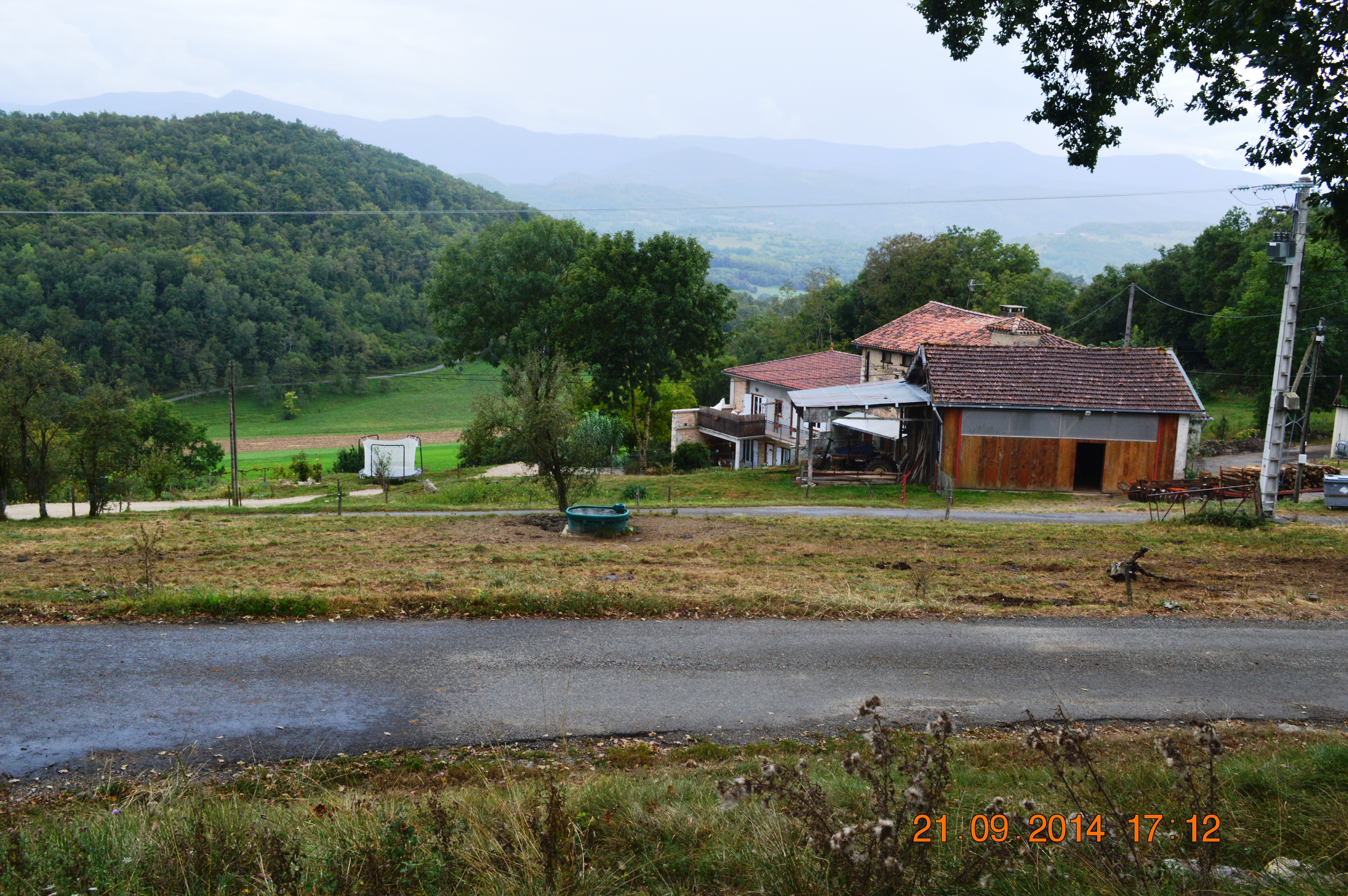
| image | Allieres Entry.JPG |
| caption | The road into Allières |
| arrondissement | Saint-Girons |
| canton | Couserans Est |
| INSEE | 09007 |
| postal code | 09240 |
| mayor | Denis Puech |
| term | 2020–2026 |
| intercommunality | Couserans-Pyrénées |
| coordinates | |
| elevation m | 550 |
| elevation min m | 347 |
| elevation max m | 652 |
| area km2 | 9.1 |
| population | |
| population date | |
| population footnotes |
|image coat of arms =
Allières (; ) is a commune in the Ariège department in the Occitanie region of southwestern France.
Geography
Allières is located in the Plantaurel mountains in the Natural Regional Park of Pyrénées ariégeoises some 22 km west by north-west of Foix and some 70 km south of Toulouse. Access to the commune is by the minor D49 road which runs north from the D117 road through the commune and the village and continuing north across the mountains to join the D119 near Maury. There is also access by a minor road from the east. Apart from the village there is also the hamlet of Escougnale. The commune is heavily forested with a few farms.
Numerous streams rise in the commune mostly flowing north to the Ruisseau de Mourisse which forms the northern border of the commune and flows west to join the Arize river near Maury. There is also the Ruisseau de Peydalières rising in the west of the commune which flows west also to join the Arize.
Neighbouring communes and villages
Administration
List of Successive Mayors
| From | To | Name |
|---|---|---|
| 2001 | 2026 | Denis Puech |
Population
The inhabitants of the commune are known as Alliérasois or Alliérasoises in French.
|1968 |55 |1975 |45 |1982 |40 |1990 |57 |1999 |65 |2007 |65 |2012 |71 |2017 |71
Culture and heritage
Religious heritage
The Parish Church of Saint Roche contains two items that are registered as historical objects:
- A Painting with frame: Presentation at the temple of the child Jesus with a saint bishop (17th century)
- A Painting with frame: Virgin and child surrounded by Saint Julien and Saint Nicolas de Myre (1871)
Notable people linked to the commune
The Falentin Saintenac family has many dead in their chapel adjoining the church.
References
References
- (13 September 2022). "Répertoire national des élus: les maires". data.gouv.fr, Plateforme ouverte des données publiques françaises.
- [https://www.google.com/maps/place/Alli%C3%A8res,+France/@43.0356351,1.3731437,3340m/data=!3m1!1e3!4m2!3m1!1s0x12af2f88ed8edd0d:0x406f69c2f436330?hl=en Google Maps]
- [http://www.francegenweb.org/mairesgenweb/resultcommune.php?id=13839 List of Mayors of France]
- [https://www.habitants.fr/ariege-09 Le nom des habitants du 09 - Ariège], habitants.fr
- [https://www.insee.fr/fr/statistiques/4515315?geo=COM-09007#ancre-POP_T1 Population en historique depuis 1968], INSEE
- Ministry of Culture, Palissy {{Palissy. IM09000116. IM09000116 Painting with frame: Presentation at the temple of the child Jesus with a saint bishop {{in lang. fr
- Ministry of Culture, Palissy {{Palissy. IM09000115. IM09000115 Painting with frame: Virgin and child surrounded by Saint Julien and Saint Nicolas de Myre {{in lang. fr
This article was imported from Wikipedia and is available under the Creative Commons Attribution-ShareAlike 4.0 License. Content has been adapted to SurfDoc format. Original contributors can be found on the article history page.
Ask Mako anything about Allières — get instant answers, deeper analysis, and related topics.
Research with MakoFree with your Surf account
Create a free account to save articles, ask Mako questions, and organize your research.
Sign up freeThis content may have been generated or modified by AI. CloudSurf Software LLC is not responsible for the accuracy, completeness, or reliability of AI-generated content. Always verify important information from primary sources.
Report